Sheep Hank
Coastal Feature, Headland, Point in Wigtownshire
Scotland
Sheep Hank

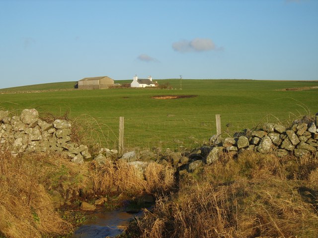
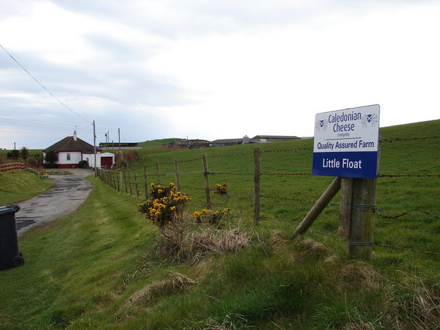
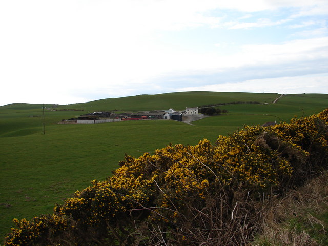
Sheep Hank is a prominent coastal feature located in Wigtownshire, Scotland. It is a headland that extends into the sea, forming a distinct point along the coastline. The name "Sheep Hank" is derived from the presence of sheep that graze on the grassy slopes of the headland.
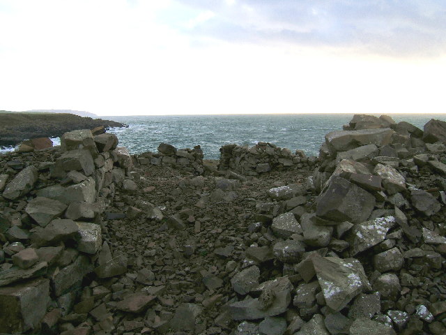
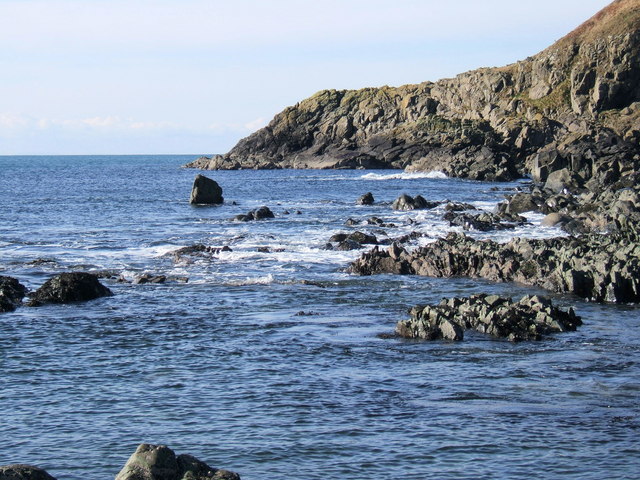
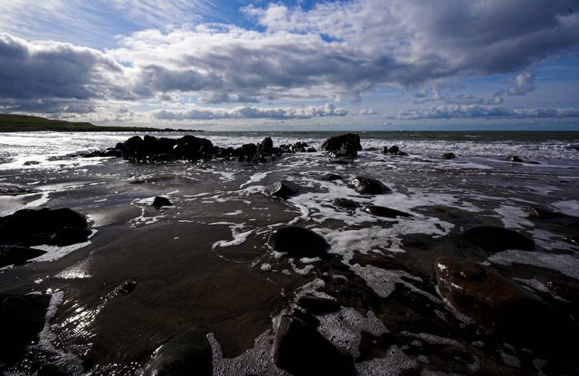
The headland is characterized by its rugged and rocky terrain, with cliffs that rise steeply from the sea. These cliffs provide a stunning backdrop to the surrounding landscape and offer breathtaking views of the coastline and the expansive blue waters of the Irish Sea. The headland is also home to a variety of seabirds, including gulls and cormorants, which nest on the cliffs or can be seen soaring above the waves.
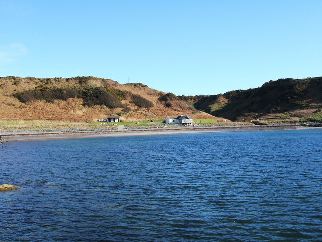
Sheep Hank is a popular destination for outdoor enthusiasts, offering opportunities for hiking, birdwatching, and photography. The headland is accessible via a footpath that winds its way along the coastline, allowing visitors to explore the diverse flora and fauna of the area. The path also leads to a viewpoint at the tip of the headland, where visitors can enjoy panoramic views of the surrounding countryside and the distant hills.
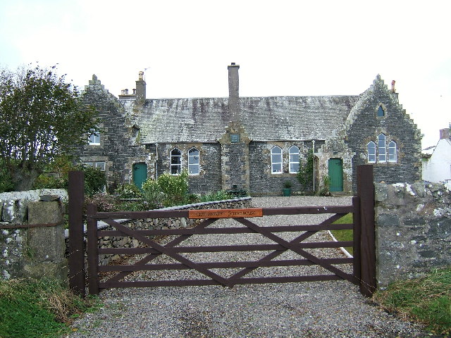
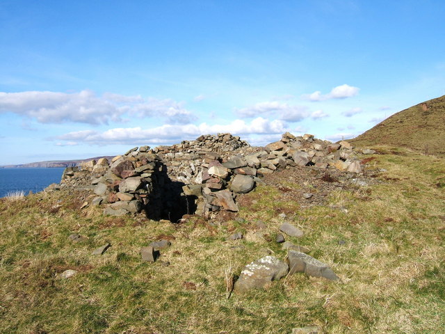
The area surrounding Sheep Hank is rich in history and has been inhabited since ancient times. Remnants of Iron Age settlements and forts can be found in the vicinity, adding to the cultural significance of the headland. Additionally, the nearby village of Wigtown is renowned for its literary heritage and hosts an annual book festival, attracting visitors from far and wide.
In conclusion, Sheep Hank is a stunning coastal feature in Wigtownshire, known for its rugged cliffs, sweeping views, and abundant wildlife. It offers a captivating blend of natural beauty and historical significance, making it a must-visit destination for nature lovers and history enthusiasts alike.
If you have any feedback on the listing, please let us know in the comments section below.
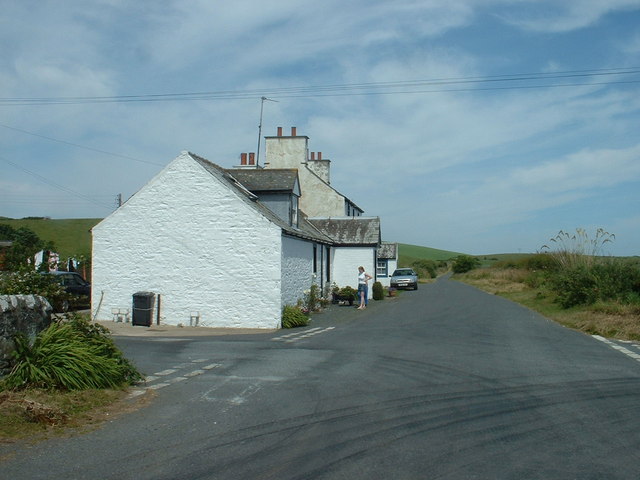
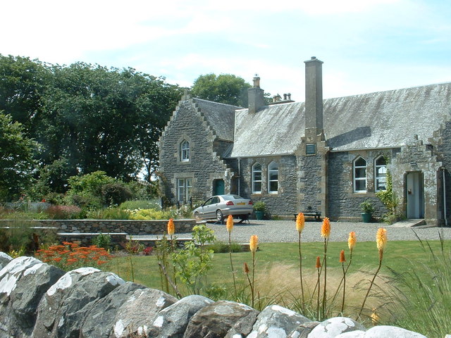
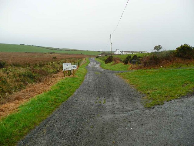
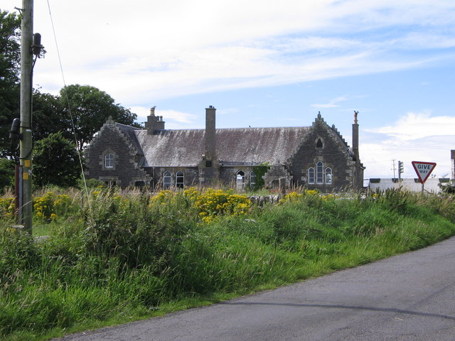
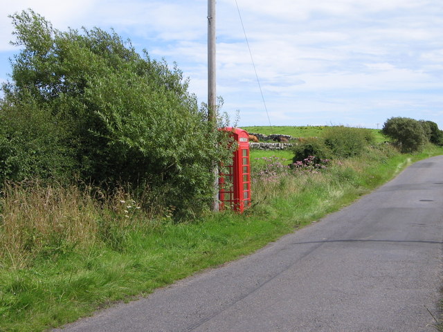
Sheep Hank Images
Images are sourced within 2km of 54.771597/-5.0018589 or Grid Reference NX0745. Thanks to Geograph Open Source API. All images are credited.


Sheep Hank is located at Grid Ref: NX0745 (Lat: 54.771597, Lng: -5.0018589)
Unitary Authority: Dumfries and Galloway
Police Authority: Dumfries and Galloway
What 3 Words
///withdraws.slack.outs. Near Drummore, Dumfries & Galloway
Nearby Locations
Related Wikis

Doon Castle Broch
Doon Castle Broch is an iron-age broch located in Dumfries and Galloway, Scotland (grid reference NX 06702 44683). == Location == The Broch is located...

Clachanmore
Clachanmore is a village in the South Rhins of Galloway near Ardwell in the south west of Scotland. It has also been known as Low Ardwell.The name of the...

Ardwell
Ardwell (from Gaelic Àrd Bhaile meaning "high town", pronounced as "Ardwell") is a village in the Scottish unitary council area of Dumfries and Galloway...

Logan Botanic Garden
Logan Botanic Garden is a botanical garden near Port Logan on the Rhins of Galloway, at the south-western tip of Scotland. The Botanic Garden was established...
Sandhead
Sandhead is a small village in Dumfries and Galloway, south west Scotland. It overlooks Luce Bay, 7 miles south of Stranraer. The old main road, named...

Port Logan
Port Logan, formerly Port Nessock, is a small village in the parish of Kirkmaiden in the Rhins of Galloway in Wigtownshire. The Gaelic name is Port Neasaig...
Knockinaam Lodge
Knockinaam Lodge is a hotel and restaurant located about 3.5 miles South of Portpatrick, Dumfries & Galloway, Scotland. As of 2008, the restaurant holds...
Stoneykirk
Stoneykirk (Scottish Gaelic: Eaglais Steafain) is an area and a village in the heart of the Rhins of Galloway, Wigtownshire, in the administrative council...
Nearby Amenities
Located within 500m of 54.771597,-5.0018589Have you been to Sheep Hank?
Leave your review of Sheep Hank below (or comments, questions and feedback).