An Cui'-leim
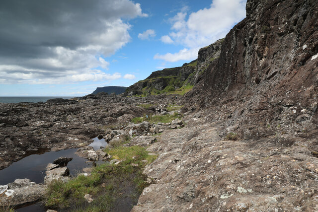
Cliff, Slope in Argyllshire
Scotland
An Cui'-leim

An Cui'-leim, also known as the Cliff Slope, is a prominent geographical feature located in the region of Argyllshire, Scotland. This natural formation is situated on the western coast of the country, near the village of An Cui'-leim. The name An Cui'-leim translates to "the narrow strait" in Gaelic, reflecting the distinctive characteristics of the area.
The Cliff Slope is a steep, rocky terrain that stretches along the shoreline, providing breathtaking views of the surrounding landscape. The cliffs rise dramatically from the sea, reaching impressive heights that attract both locals and tourists alike. These precipitous slopes are composed of various types of rock formations, such as sandstone and limestone, which have been shaped over millions of years by erosion and geological processes.
The site is renowned for its striking beauty and offers an array of outdoor activities for visitors to enjoy. Adventurous individuals can explore the area by embarking on challenging hikes along the cliff edge, providing an exhilarating experience and a chance to appreciate the rugged, untamed beauty of the Scottish coast. Additionally, the Cliff Slope is a popular spot for birdwatching, with numerous species of seabirds, including puffins and gannets, nesting along the cliffs.
An Cui'-leim is also of historical significance, as it has been an important landmark for seafarers and fishermen for centuries. The perilous nature of the cliffs has given rise to numerous maritime legends and tales of shipwrecks, further adding to the allure of the area.
In conclusion, An Cui'-leim, Argyllshire, is a breathtaking cliff slope that offers stunning coastal views, outdoor activities, and a rich historical heritage.
If you have any feedback on the listing, please let us know in the comments section below.
An Cui'-leim Images
Images are sourced within 2km of 56.332568/-5.9219434 or Grid Reference NM5722. Thanks to Geograph Open Source API. All images are credited.


An Cui'-leim is located at Grid Ref: NM5722 (Lat: 56.332568, Lng: -5.9219434)
Unitary Authority: Argyll and Bute
Police Authority: Argyll and West Dunbartonshire
What 3 Words
///glaze.translate.widen. Near Lochbuie, Argyll & Bute
Nearby Locations
Related Wikis

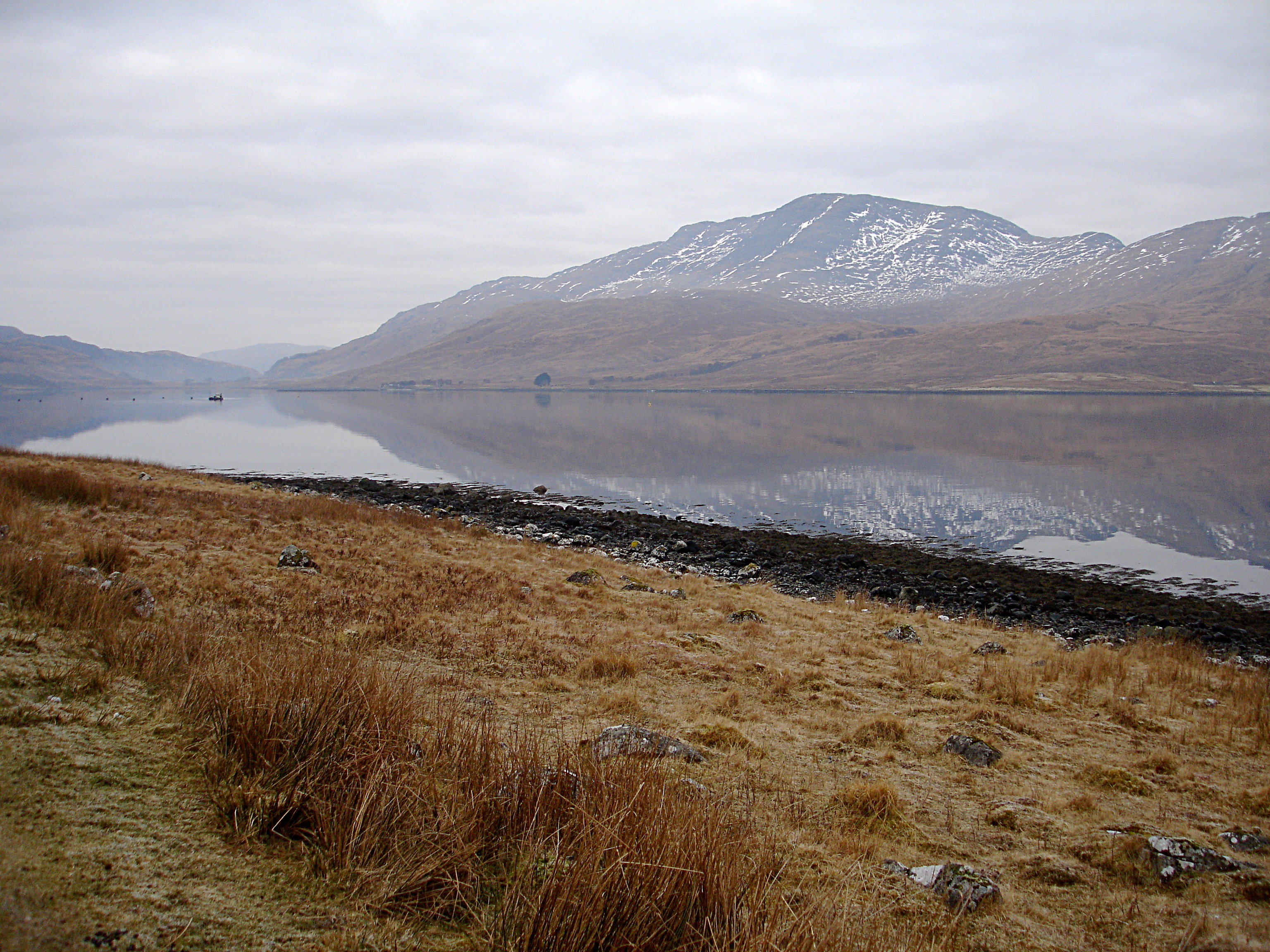
Loch Buie
Loch Buie (Scottish Gaelic: Locha Buidhe, meaning "yellow loch") is a sea loch on the south coast of the Isle of Mull, off the west coast of Scotland....

Carsaig Bay
Carsaig Bay is a cove on the Ross of Mull in the south of the Isle of Mull, off the west coast of Scotland. It is situated 5 kilometres (3 miles) eastward...

Moy Castle
Moy Castle is a ruined castle near Lochbuie on the Isle of Mull, Scotland. The site is now a scheduled monument. == History == The land upon which Moy...

Lochbuie, Mull
Lochbuie (Scottish Gaelic: Locha Buidhe, meaning "yellow loch") is a settlement on the Isle of Mull in Scotland about 22 kilometres (14 mi) west of Craignure...

Ben Buie
Ben Buie (717 m) is a mountain in the south of the Isle of Mull, Scotland. A rocky mountain, it has steep and rugged slopes, especially on its eastern...

Pennyghael
Pennyghael (Scottish Gaelic: Peighinn nan Gàidheal) is a small village in the Ross of Mull, Argyll and Bute, Scotland. It is located along the A849 road...
Aird of Kinloch
Aird of Kinloch (Gaelic:An Àird) is a rocky outcrop between Loch Scridain and Loch Beg on the Isle of Mull, Argyll and Bute, Scotland. == References ==
Creach-Beinn (Mull)
Creach-Beinn (698 m) is a mountain in the south of the Isle of Mull, Scotland. It rises above the northern shore of Loch Spelve. A rocky mountain with...
Nearby Amenities
Located within 500m of 56.332568,-5.9219434Have you been to An Cui'-leim?
Leave your review of An Cui'-leim below (or comments, questions and feedback).