A' Mhàlairt
Cliff, Slope in Argyllshire
Scotland
A' Mhàlairt
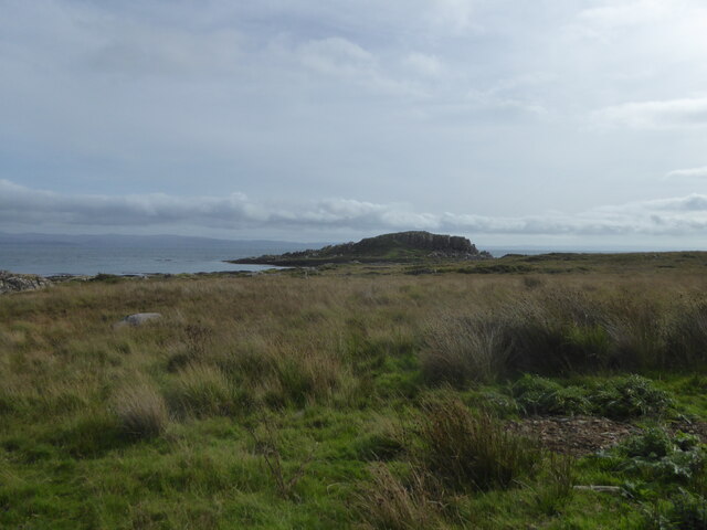
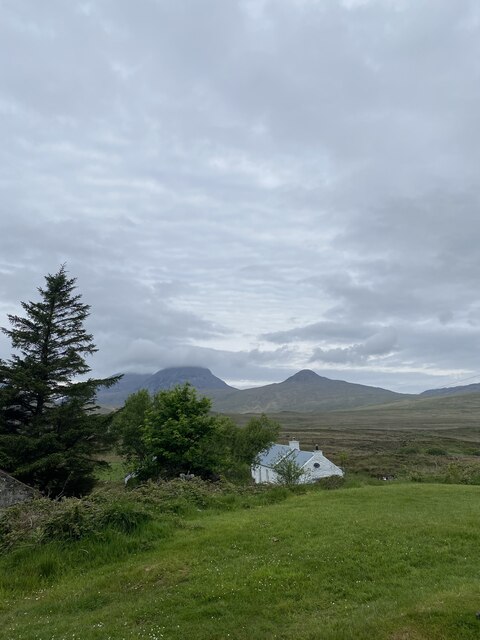
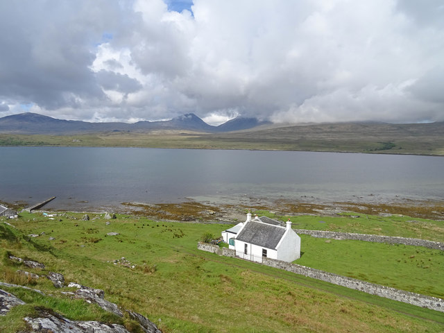
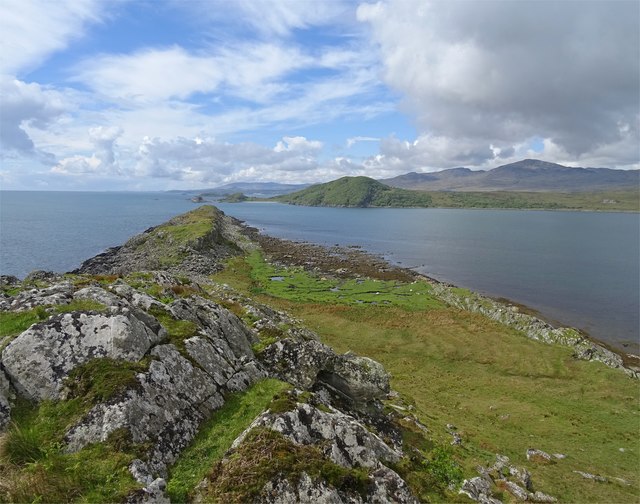
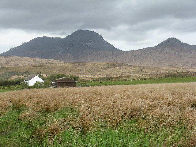
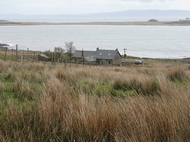
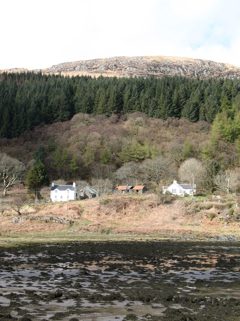
A' Mhàlairt, also known as The Cliff, is a prominent natural feature located in Argyllshire, Scotland. Situated on the western coast of the region, it is renowned for its impressive landscape and picturesque views.
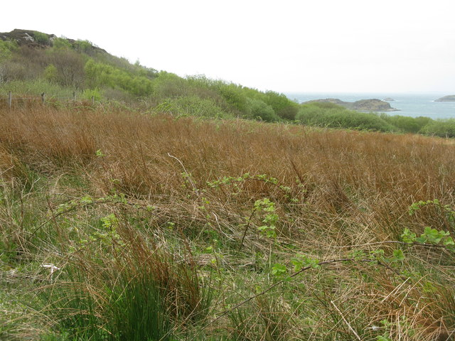
A' Mhàlairt is characterized by its steep slope that stretches along the coastline, rising dramatically from the sea. The cliff reaches a height of approximately 300 meters (984 feet), making it a striking sight for visitors and locals alike. Its rugged and weathered appearance adds to its allure, showcasing the power of nature's forces over time.
The cliff is composed of various rock formations, including sedimentary layers that tell a story of the area's geological history. Fossils can be found embedded within the rocks, providing a glimpse into the ancient marine life that once thrived in these waters.
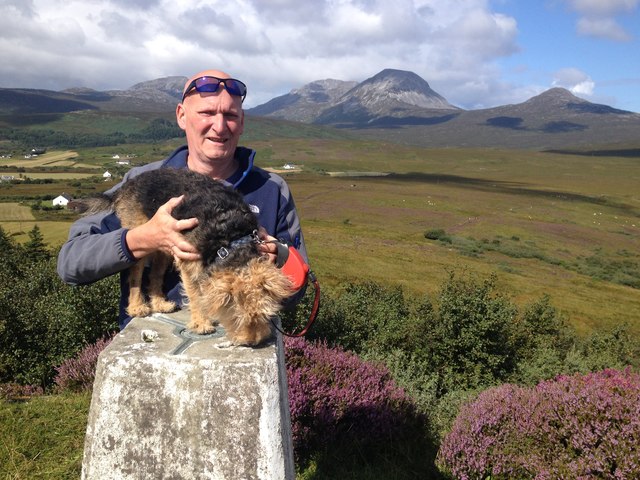
The surrounding area of A' Mhàlairt is a haven for wildlife enthusiasts. Seabirds such as puffins, gannets, and guillemots can be spotted nesting on the cliff face during the breeding season. The diverse marine ecosystem also attracts seals, dolphins, and occasionally even whales, creating a vibrant and dynamic natural environment.
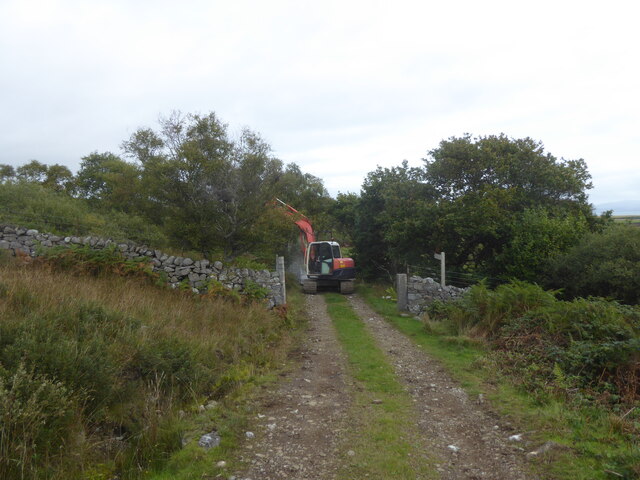
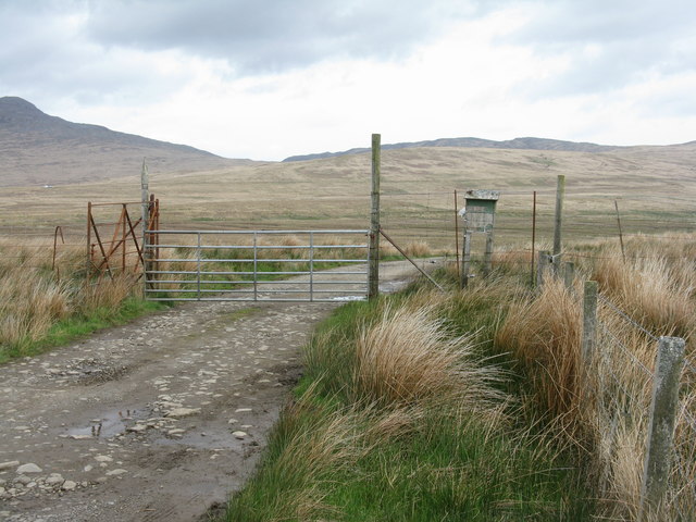
Access to A' Mhàlairt is limited due to its steepness and the absence of designated footpaths. However, there are viewpoints and coastal trails nearby that offer stunning vistas of the cliff from a distance, allowing visitors to appreciate its grandeur and the breathtaking seascape it overlooks.
Overall, A' Mhàlairt is a remarkable natural wonder in Argyllshire, captivating visitors with its awe-inspiring beauty and serving as a testament to the region's geological and ecological significance.
If you have any feedback on the listing, please let us know in the comments section below.
A' Mhàlairt Images
Images are sourced within 2km of 55.886001/-5.8788654 or Grid Reference NR5772. Thanks to Geograph Open Source API. All images are credited.


A' Mhàlairt is located at Grid Ref: NR5772 (Lat: 55.886001, Lng: -5.8788654)
Unitary Authority: Argyll and Bute
Police Authority: Argyll and West Dunbartonshire
What 3 Words
///banana.tokens.sprouted. Near Craighouse, Argyll & Bute
Nearby Locations
Related Wikis
Ardmenish
Ardmenish (Scottish Gaelic: Àird Mhèanais) is a largely cleared village on the island of Jura, in Argyll and Bute, Scotland. In 2003 the Rozga family were...

Ardfernal
Ardfernal (Scottish Gaelic: Àird Fheàrnail) is a hamlet on the island of Jura in Argyll and Bute, Scotland. The township had 16 buildings in 1882 and 9...

Knockrome
Knockrome is a hamlet on the island of Jura, in the civil parish of Jura, in the council area of Argyll and Bute, Scotland. On the 1982 OS 1:10000 map...

Small Isles, Argyll
The Small Isles are a group of uninhabited islands east of Jura, in the council area of Argyll and Bute, Scotland. From south to north, the five islands...
Lagg, Jura
Lagg is a hamlet on Lagg Bay, on the east coast of the island of Jura, in the council area of Argyll and Bute, Scotland. It is on the A846 8 miles (13...

Beinn Shiantaidh
Beinn Shiantaidh (Scottish Gaelic for 'holy mountain') is the second highest peak of the Paps of Jura on the island of Jura, Scotland. It stands at 757...

Keils
Keils formerly Kilearnadill is a hamlet 0.25 miles (0.40 km) from Craighouse on the island of Jura, in the council area of Argyll and Bute, Scotland. Keils...

Craighouse
Craighouse (Scottish Gaelic: Taigh na Creige) is the main settlement and capital of the Scottish Inner Hebridean island of Jura, in Argyll and Bute. In...
Nearby Amenities
Located within 500m of 55.886001,-5.8788654Have you been to A' Mhàlairt?
Leave your review of A' Mhàlairt below (or comments, questions and feedback).