Clach an Righ
Cliff, Slope in Argyllshire
Scotland
Clach an Righ

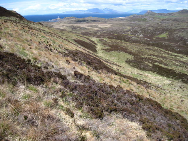
Clach an Righ, also known as the King's Stone, is a prominent cliff or slope located in Argyllshire, Scotland. Situated in a picturesque area, it is a well-known landmark with historical and cultural significance.
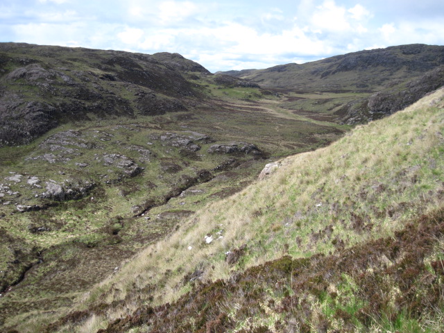
Rising majestically from the surrounding landscape, Clach an Righ stands at an impressive height, providing breathtaking views of the surrounding countryside and coastline. The cliff is composed of rugged rock formations, creating a dramatic and awe-inspiring sight for visitors.
The name "Clach an Righ" translates to "King's Stone" in English, reflecting its association with Scottish royalty. In ancient times, it is believed that Scottish kings used this site as a place of gathering and ceremony. The stone itself is said to have been used as a throne or seat for the kings during these gatherings, adding to its historical importance.
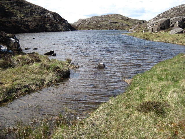
Today, Clach an Righ continues to attract visitors who are drawn to its natural beauty and historical significance. Hikers and nature enthusiasts are particularly drawn to the area, as it offers a range of outdoor activities, including scenic walks, rock climbing, and birdwatching.
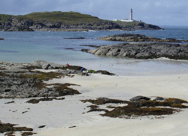
The surrounding region of Argyllshire is known for its stunning landscapes, with rolling hills, shimmering lochs, and charming villages. Clach an Righ serves as a captivating focal point within this landscape, adding to the overall appeal of the region for tourists and locals alike.
Overall, Clach an Righ in Argyllshire is a remarkable cliff or slope that offers natural beauty, historical significance, and a gateway to explore the stunning landscapes of Scotland's west coast.
If you have any feedback on the listing, please let us know in the comments section below.
Clach an Righ Images
Images are sourced within 2km of 56.688812/-6.1872814 or Grid Reference NM4363. Thanks to Geograph Open Source API. All images are credited.


Clach an Righ is located at Grid Ref: NM4363 (Lat: 56.688812, Lng: -6.1872814)
Unitary Authority: Highland
Police Authority: Highlands and Islands
What 3 Words
///dictation.bluffs.looks. Near Kilchoan, Highland
Nearby Locations
Related Wikis

Achosnich
Achosnich (Scottish Gaelic: Achadh Osnaich) is a crofting township in Ardnamurchan, Argyle within the Scottish council area of Highland. It is close to...
Ardnamurchan Point
Ardnamurchan Point (Scottish Gaelic: Rubha Àird nam Murchan, meaning "the headland of the hill of the great sea") is a peninsula in Highland, Scotland...

Ardnamurchan Lighthouse
Ardnamurchan Lighthouse is a listed 19th century lighthouse, located on Ardnamurchan Point in Lochaber part of the Highland council area of Scotland. The...

Portuairk
Portuairk (Scottish Gaelic: Port Uairce) is a crofting township, at the western end of the Ardnamurchan peninsula, Lochaber, Highland, Scotland. It is...

Kilchoan
Kilchoan (Scottish Gaelic: Cille Chòmhain) is a village on the Scottish peninsula of Ardnamurchan, beside the Sound of Mull in Lochaber, Highland. It is...

Achnaha
Achnaha (Scottish Gaelic: Achadh na h-Àtha) is a remote village in Ardnamurchan, Lochaber, in the Scottish council area of Highland. One of the local...

Glengorm Castle
Glengorm Castle, also known as Castle Sorn, is a 19th-century country house on the Isle of Mull, Scotland. Located in Mishnish, 6 kilometres (4 mi) northwest...

Battle of Bloody Bay
The Battle of Bloody Bay, or Blàr Bàgh na Fala in Scottish Gaelic, was a naval battle fought near Tobermory, Scotland. It was fought on the coast of Mull...
Nearby Amenities
Located within 500m of 56.688812,-6.1872814Have you been to Clach an Righ?
Leave your review of Clach an Righ below (or comments, questions and feedback).