Trevescan Cliff
Cliff, Slope in Cornwall
England
Trevescan Cliff
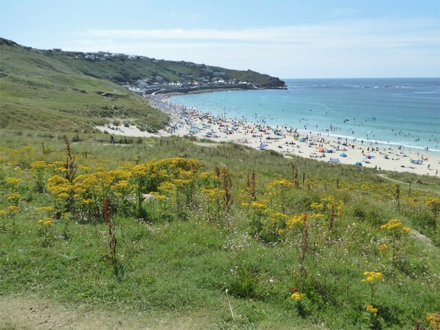
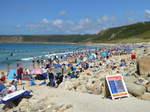
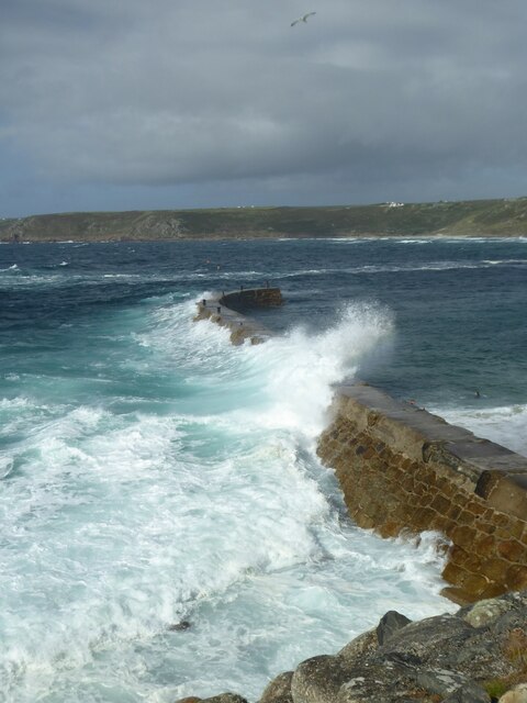
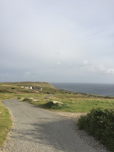
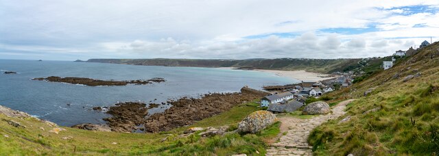
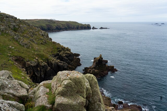
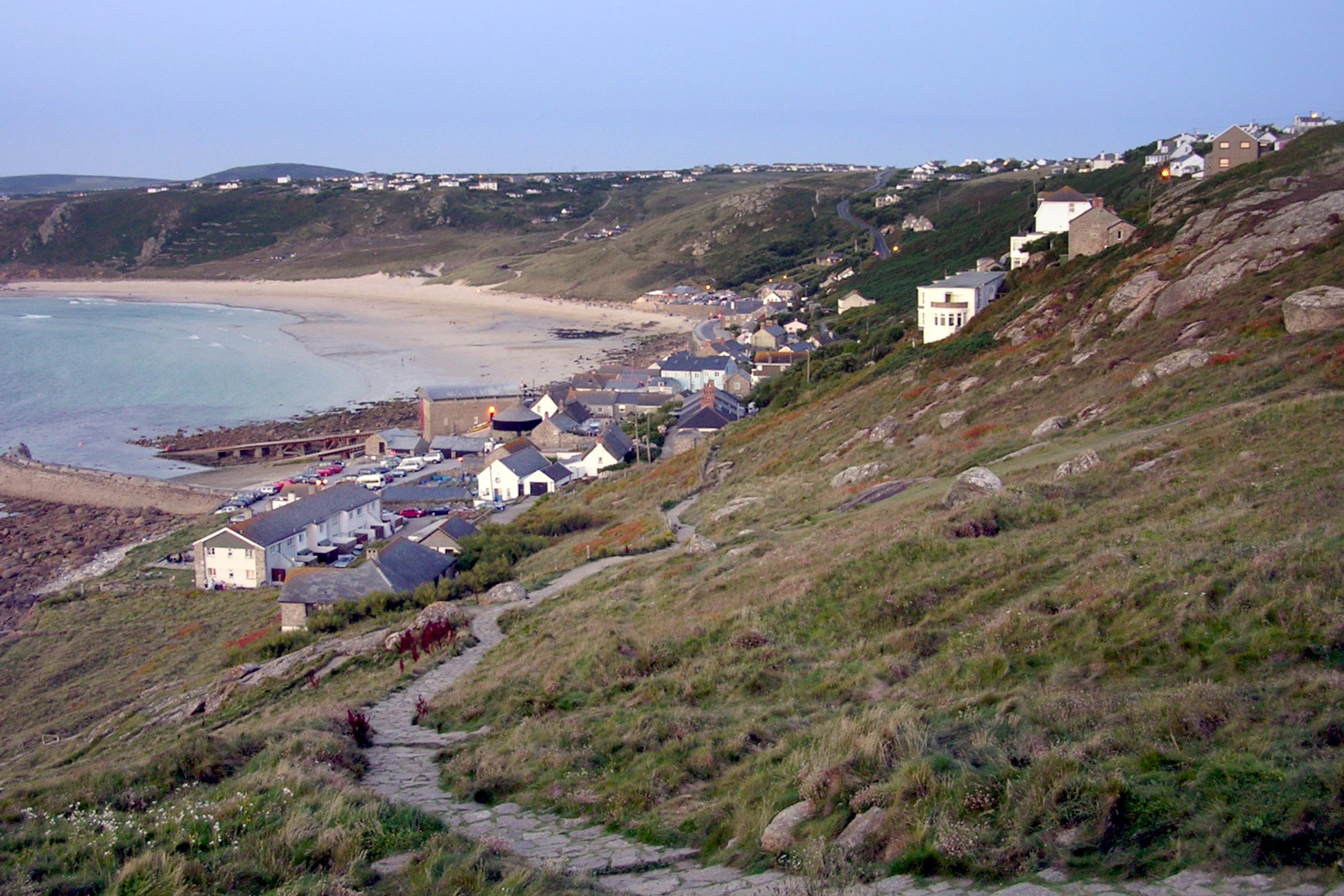
Trevescan Cliff is a prominent coastal feature located in Cornwall, England. Situated near the village of Trevescan, it is a steep and rugged cliff that offers breathtaking views of the Atlantic Ocean. The cliff is part of the stunning Cornish coastline, renowned for its dramatic landscapes and natural beauty.
Rising to a height of approximately 70 meters (230 feet), Trevescan Cliff is a popular destination for nature enthusiasts and hikers. The cliff's geological formation consists of layers of sedimentary rocks, including sandstone and shale, which have been shaped over millions of years by erosion from the crashing waves of the Atlantic.
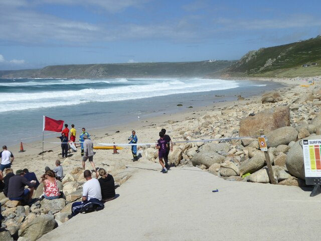
The cliff face is characterized by its steep slope, which provides a challenging but rewarding experience for climbers and adventurous visitors. The cliff's incline is covered in hardy grasses, heather, and wildflowers, contributing to its picturesque appeal. The cliff's prominent position also makes it an excellent vantage point for spotting seabirds, such as gulls and fulmars, as well as other marine life.
Trevescan Cliff is easily accessible via a well-marked footpath, which allows visitors to explore the area safely. However, caution is advised when walking near the cliff edge due to the potential risks associated with uneven terrain and strong winds.
Overall, Trevescan Cliff offers a captivating blend of natural beauty, geological wonders, and stunning vistas that make it a must-visit location for anyone seeking to immerse themselves in Cornwall's rugged charm.
If you have any feedback on the listing, please let us know in the comments section below.
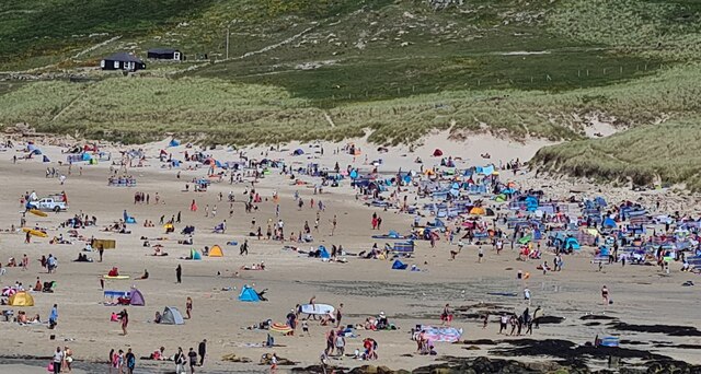
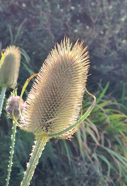
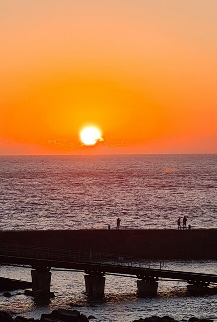
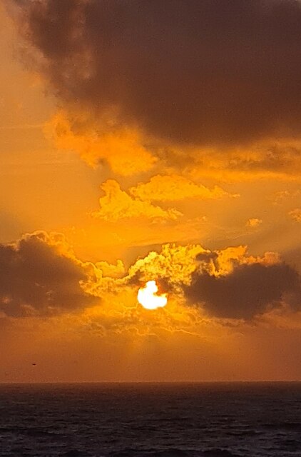
Trevescan Cliff Images
Images are sourced within 2km of 50.067988/-5.716195 or Grid Reference SW3425. Thanks to Geograph Open Source API. All images are credited.


Trevescan Cliff is located at Grid Ref: SW3425 (Lat: 50.067988, Lng: -5.716195)
Unitary Authority: Cornwall
Police Authority: Devon and Cornwall
What 3 Words
///wildfires.stamp.ambition. Near Sennen, Cornwall
Nearby Locations
Related Wikis

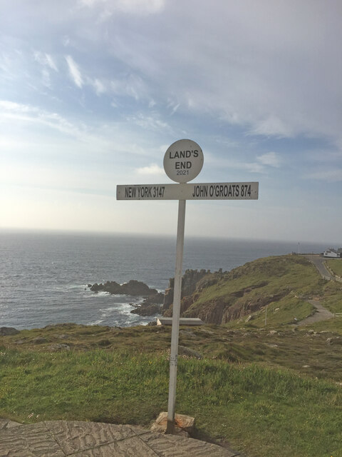
Land's End
Land's End (Cornish Standard Written Form: Penn an Wlas or Pedn an Wlas) is a headland and tourist and holiday complex in western Cornwall, England, United...

Maen Castle
Maen Castle is an Iron Age promontory fort or 'cliff castle' close to Land's End in Cornwall. It is one of only two fortified sites in Cornwall where...

MV RMS Mulheim
The RMS Mülheim was a German cargo ship that was built in Romania and launched in May 1999. It was wrecked on 22 March 2003 at Land's End, United Kingdom...
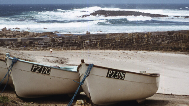
Sennen Cove
Sennen Cove (Cornish: Porthsenen) (grid reference SW352261) is a small coastal village in the parish of Sennen in Cornwall, England, United Kingdom. According...
Nearby Amenities
Located within 500m of 50.067988,-5.716195Have you been to Trevescan Cliff?
Leave your review of Trevescan Cliff below (or comments, questions and feedback).