Rosscraig
Cliff, Slope in Inverness-shire
Scotland
Rosscraig
Rosscraig is a picturesque cliff and slope located in Inverness-shire, Scotland. Situated in the northern part of the country, Inverness-shire is known for its stunning landscapes, and Rosscraig certainly lives up to this reputation.
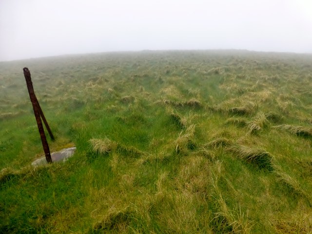
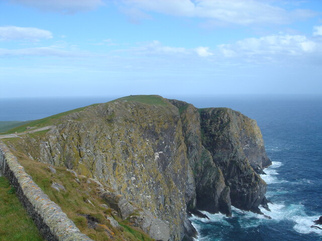
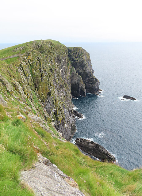
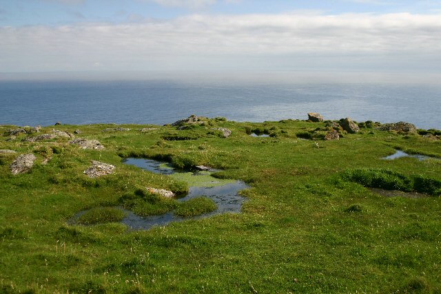
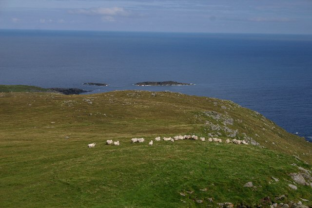
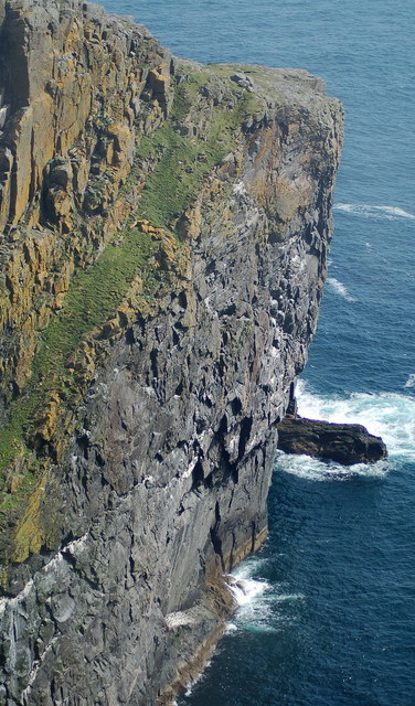
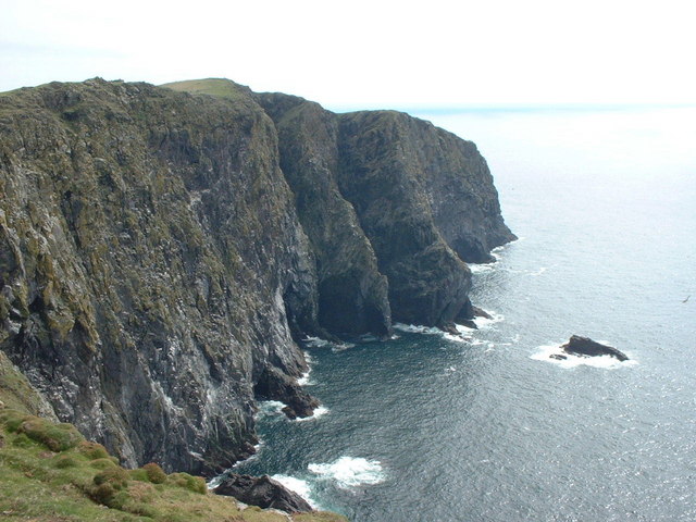
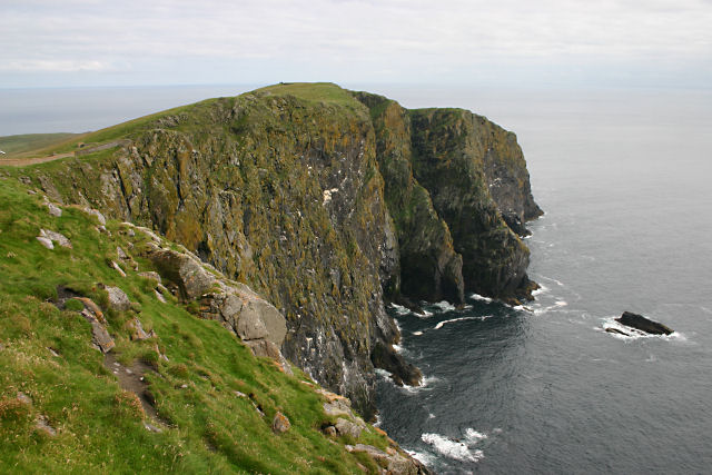
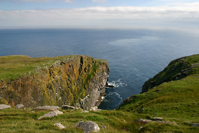
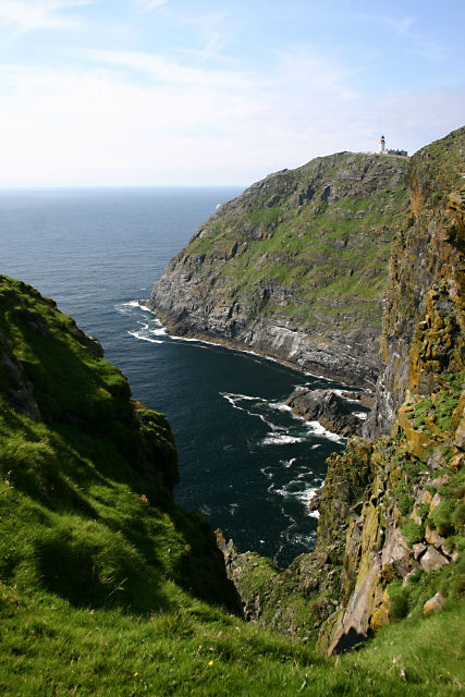
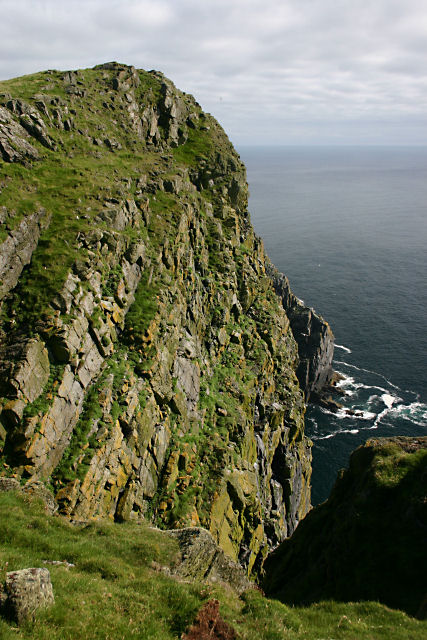
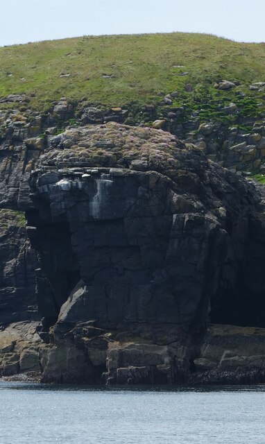
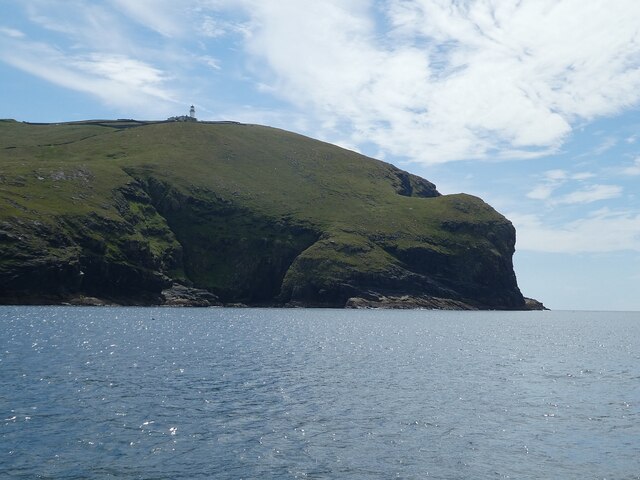
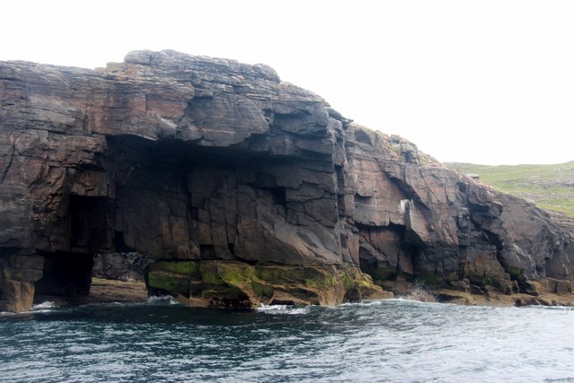
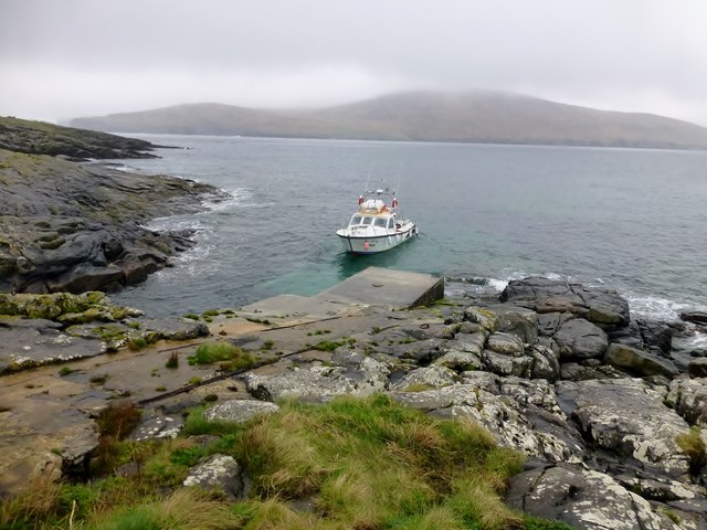
The cliff and slope of Rosscraig are nestled within the scenic countryside, offering breathtaking views of the surrounding area. The cliff stands tall and imposing, providing a dramatic backdrop against the rolling hills and lush greenery. Its rugged and weathered appearance adds to its charm, giving it an air of ancient beauty.
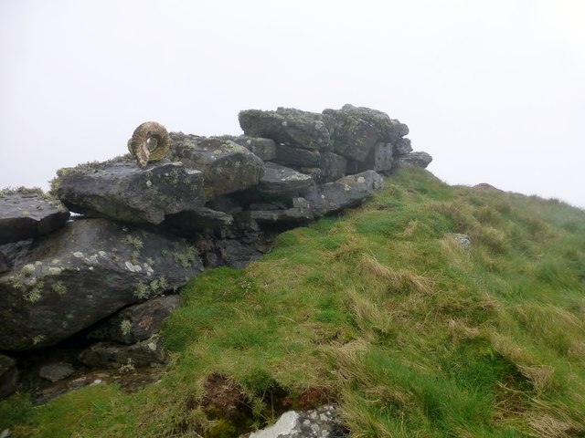
The slope of Rosscraig is equally impressive, gently descending from the cliff towards the valley below. Covered in vegetation, it creates a vibrant and colorful scene, particularly during the warmer months when flowers bloom and wildlife thrives. The slope is often used by hikers and nature enthusiasts, offering a challenging yet rewarding trek through the Scottish Highlands.
Visitors to Rosscraig can enjoy a variety of outdoor activities in the area, such as hiking, birdwatching, and photography. The cliff and slope provide excellent vantage points for capturing panoramic views of the surrounding landscape.
Overall, Rosscraig in Inverness-shire is a natural wonder, showcasing the stunning beauty of the Scottish countryside. Its cliff and slope offer a unique and awe-inspiring experience to those who visit, making it a must-see destination for nature lovers and adventure seekers alike.
If you have any feedback on the listing, please let us know in the comments section below.
Rosscraig Images
Images are sourced within 2km of 56.783105/-7.6457355 or Grid Reference NL5579. Thanks to Geograph Open Source API. All images are credited.
Rosscraig is located at Grid Ref: NL5579 (Lat: 56.783105, Lng: -7.6457355)
Unitary Authority: Na h-Eileanan an Iar
Police Authority: Highlands and Islands
What 3 Words
///slogged.pitch.drawn. Near CastleBay, Na h-Eileanan Siar
Nearby Locations
Related Wikis

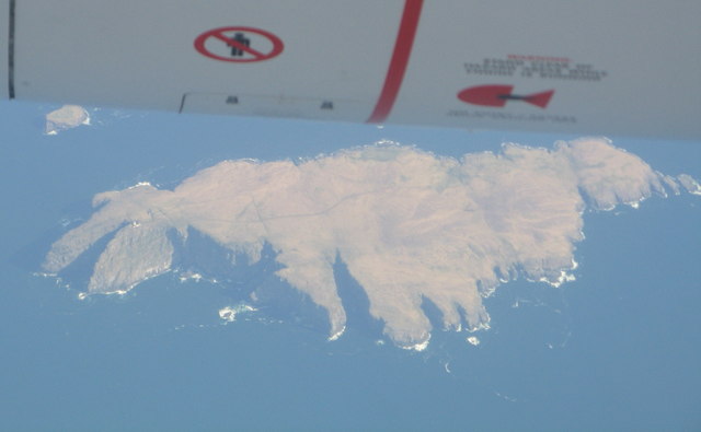
Barra Head
Barra Head, also known as Berneray (Scottish Gaelic: Beàrnaraigh; Scots: Barra Heid), is the southernmost island of the Outer Hebrides in Scotland. Within...

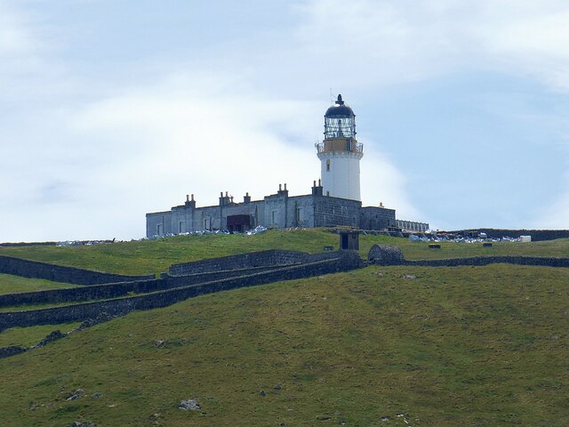
Barra Head Lighthouse
Barra Head Lighthouse on Barra Head identifies the southern entrance to The Minch, roughly halfway between the Eilean Glas and Rinns of Islay lighthouses...

Arnamul
Arnamul (Scottish Gaelic: Arnamuil) is a stack off the west coast of Mingulay in the Western Isles, Scotland. Although precipitous, sheep were grazed on...

Barra Isles
The Barra Isles, also known as the Bishop's Isles, are a small archipelago in the Outer Hebrides of Scotland. They lie south of the island of Barra, for...
Nearby Amenities
Located within 500m of 56.783105,-7.6457355Have you been to Rosscraig?
Leave your review of Rosscraig below (or comments, questions and feedback).