Cìrein Mòra
Coastal Feature, Headland, Point in Inverness-shire
Scotland
Cìrein Mòra
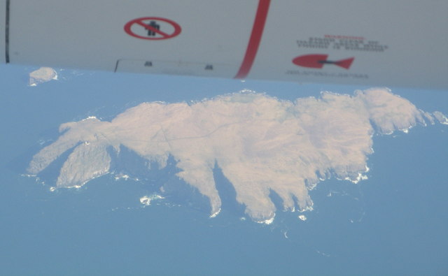
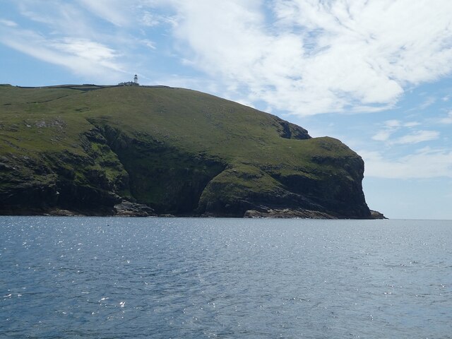
Cìrein Mòra is a prominent coastal feature located in Inverness-shire, Scotland. It is a headland that extends out into the Moray Firth, a large inlet of the North Sea. The name "Cìrein Mòra" is derived from Scottish Gaelic, meaning "big comb," which reflects the shape of the headland resembling a comb.
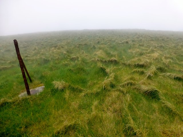
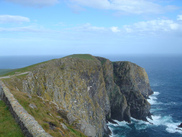
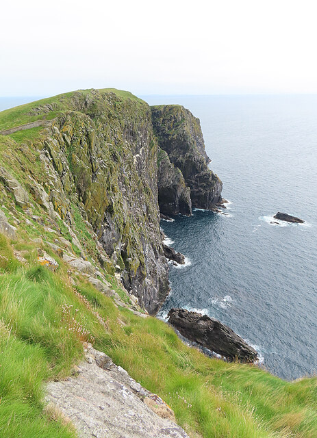
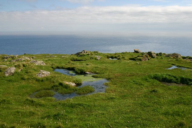
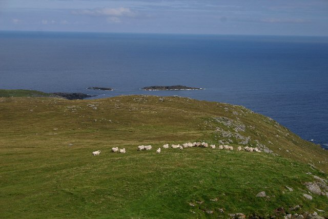
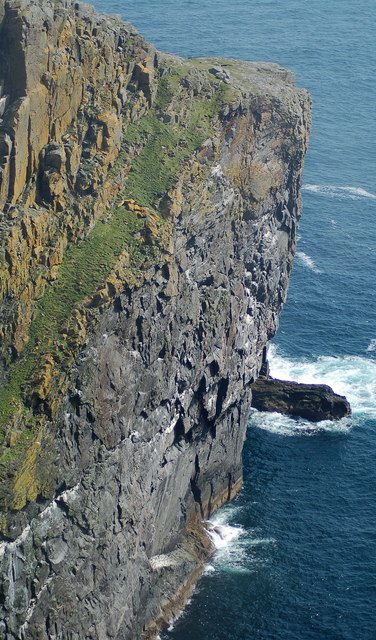
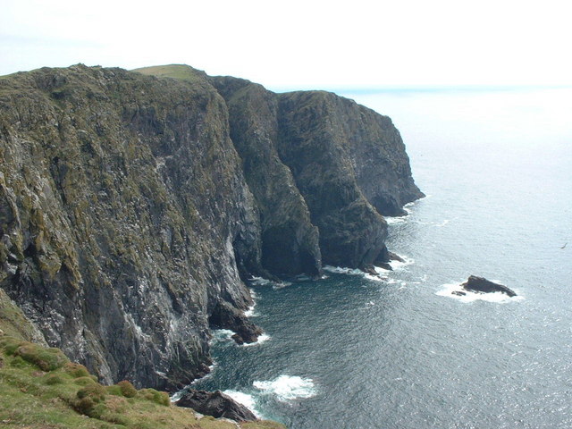
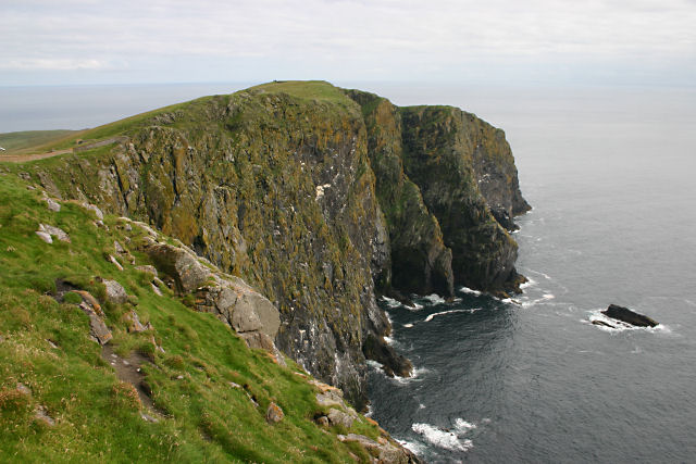
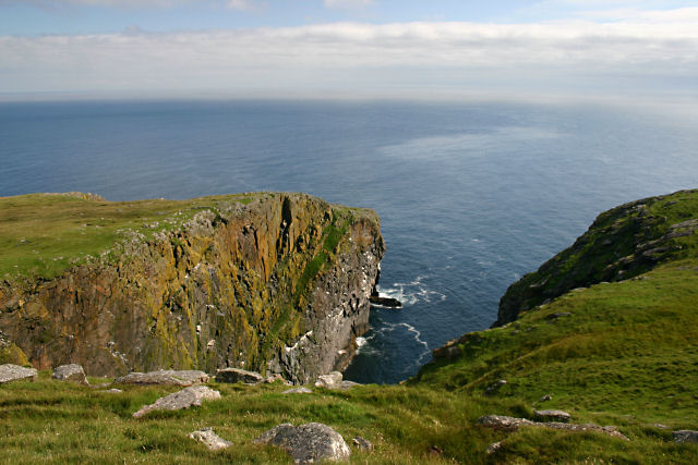
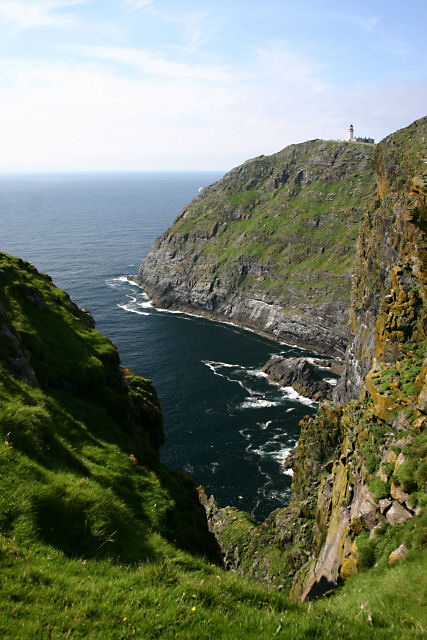
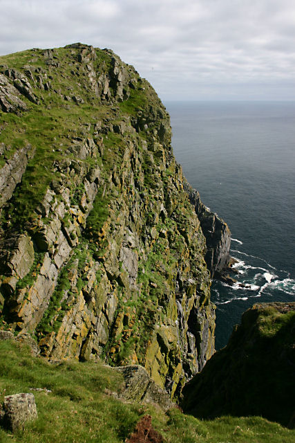
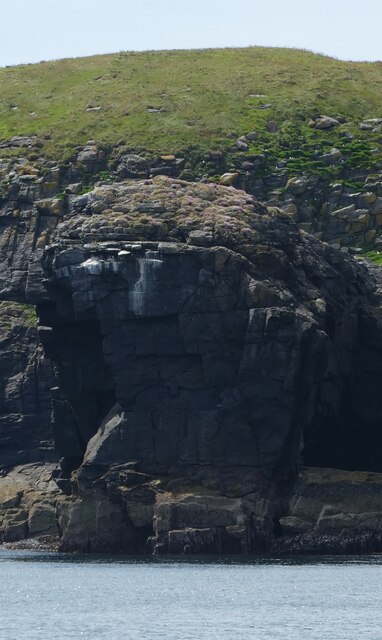
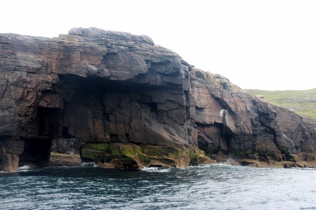
This headland is characterized by its rugged and dramatic landscape, with steep cliffs rising from the sea and offering breathtaking views of the surrounding area. The cliffs are composed of various types of rock, including sandstone and shale, which have been eroded over time by the powerful waves and weather conditions. The exposed rock formations provide a glimpse into the geological history of the region.
Cìrein Mòra is also known for its rich biodiversity. The headland is home to a diverse range of plant and animal species, including seabirds such as puffins, razorbills, and fulmars that nest along the cliffs. The surrounding waters are teeming with marine life, with seals often seen basking on the rocks and dolphins occasionally spotted swimming offshore.
Visitors to Cìrein Mòra can enjoy scenic walks along the coastal paths, taking in the stunning views and observing the wildlife. The area is also popular for birdwatching, photography, and nature exploration. It offers a peaceful and secluded retreat for those seeking to connect with nature and experience the untamed beauty of the Scottish coastline.
If you have any feedback on the listing, please let us know in the comments section below.
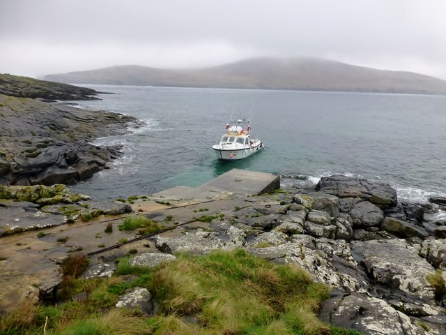
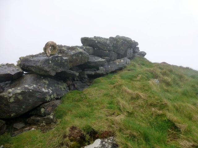
Cìrein Mòra Images
Images are sourced within 2km of 56.781515/-7.6442662 or Grid Reference NL5579. Thanks to Geograph Open Source API. All images are credited.
Cìrein Mòra is located at Grid Ref: NL5579 (Lat: 56.781515, Lng: -7.6442662)
Unitary Authority: Na h-Eileanan an Iar
Police Authority: Highlands and Islands
What 3 Words
///allowable.iteration.wrong. Near CastleBay, Na h-Eileanan Siar
Nearby Locations
Related Wikis

Barra Head
Barra Head, also known as Berneray (Scottish Gaelic: Beàrnaraigh; Scots: Barra Heid), is the southernmost island of the Outer Hebrides in Scotland. Within...

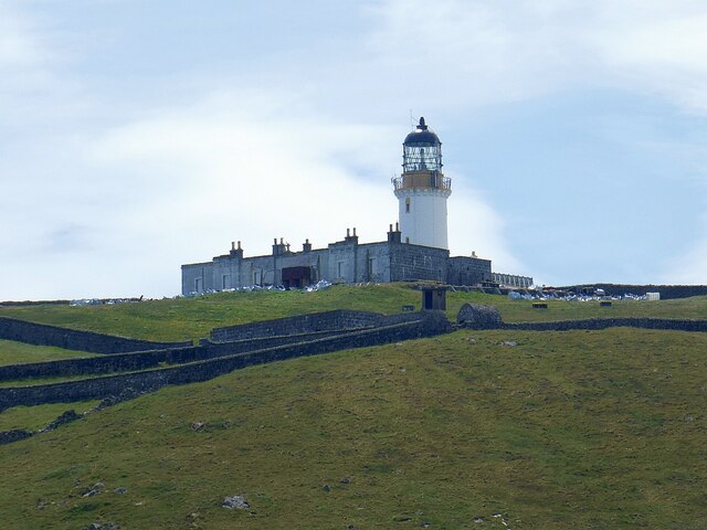
Barra Head Lighthouse
Barra Head Lighthouse on Barra Head identifies the southern entrance to The Minch, roughly halfway between the Eilean Glas and Rinns of Islay lighthouses...

Arnamul
Arnamul (Scottish Gaelic: Arnamuil) is a stack off the west coast of Mingulay in the Western Isles, Scotland. Although precipitous, sheep were grazed on...

Barra Isles
The Barra Isles, also known as the Bishop's Isles, are a small archipelago in the Outer Hebrides of Scotland. They lie south of the island of Barra, for...
Nearby Amenities
Located within 500m of 56.781515,-7.6442662Have you been to Cìrein Mòra?
Leave your review of Cìrein Mòra below (or comments, questions and feedback).