Blood Point
Coastal Feature, Headland, Point in Kent Canterbury
England
Blood Point
Blood Point is a prominent coastal feature located in Kent, England. Situated on the eastern coast of the county, it is classified as a headland and point due to its distinctive geographical characteristics. The point extends into the North Sea, jutting out into the water and creating a notable landmark along the coastline.
The name "Blood Point" is said to have originated from the reddish hue of the cliffs that make up the headland. These cliffs, composed mainly of sandstone and clay, display a distinctive rusty coloration, particularly during sunset, which gives the area its unique name.
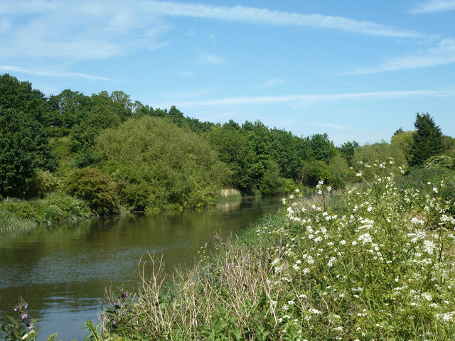
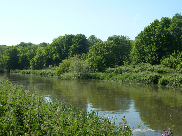
Not only does Blood Point offer stunning views of the sea, but it also provides a habitat for a diverse range of flora and fauna. The headland is home to various species of birds, including gulls, cormorants, and peregrine falcons, making it a popular spot for birdwatchers. The surrounding coastal waters are also rich in marine life, with seals and porpoises occasionally spotted offshore.
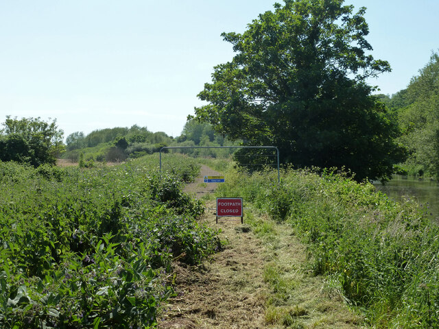
Blood Point has long been an attraction for visitors and locals alike, offering opportunities for outdoor activities such as hiking, fishing, and picnicking. The headland is easily accessible by foot, with a network of paths and trails leading to and around the area.
Overall, Blood Point in Kent is a captivating coastal feature, renowned for its striking cliffs, diverse wildlife, and recreational opportunities, making it a must-visit destination for nature enthusiasts and those seeking a scenic coastal experience.
If you have any feedback on the listing, please let us know in the comments section below.
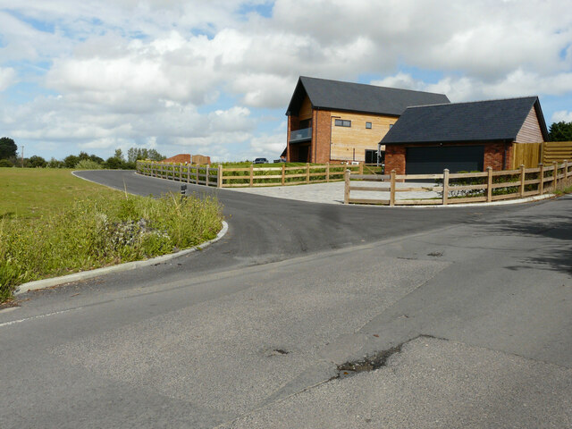
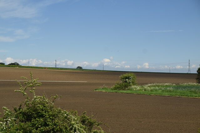
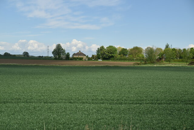
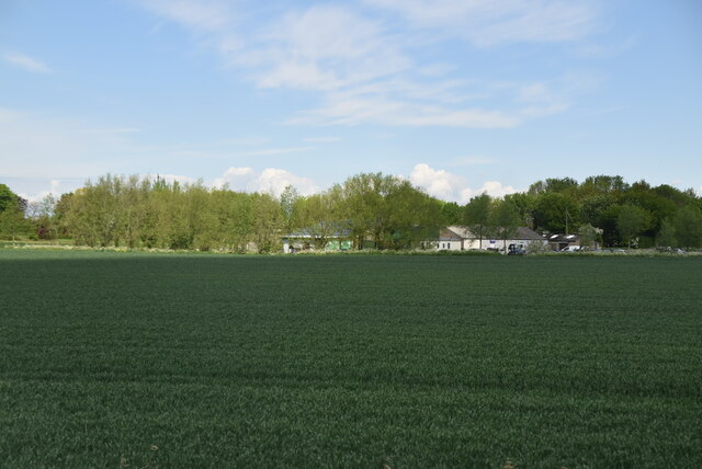
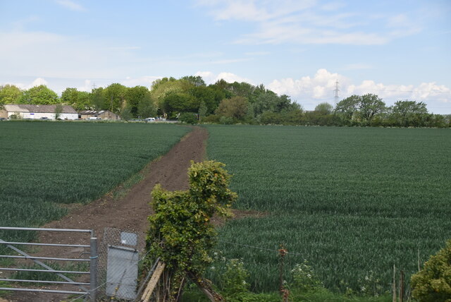
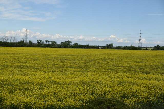
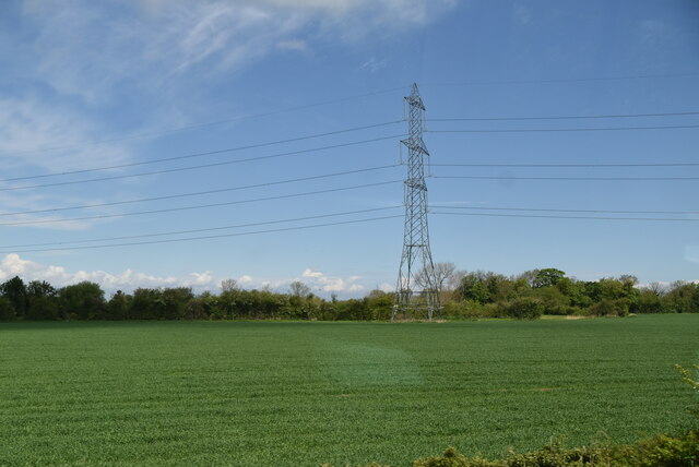
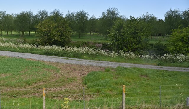
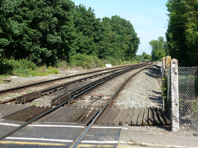
Blood Point Images
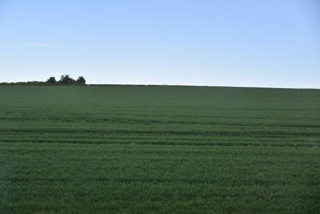
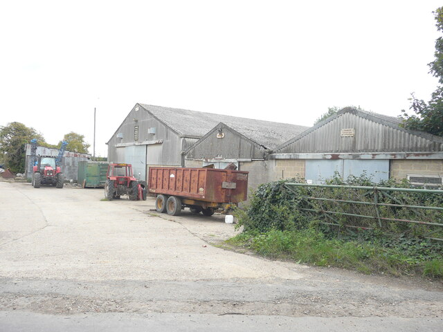
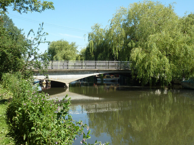
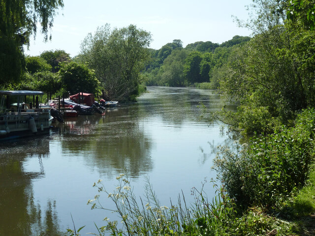
Images are sourced within 2km of 51.325755/1.2284182 or Grid Reference TR2563. Thanks to Geograph Open Source API. All images are credited.


Blood Point is located at Grid Ref: TR2563 (Lat: 51.325755, Lng: 1.2284182)
Administrative County: Kent
District: Canterbury
Police Authority: Kent
What 3 Words
///behave.sizes.clearcut. Near Wingham, Kent
Nearby Locations
Related Wikis
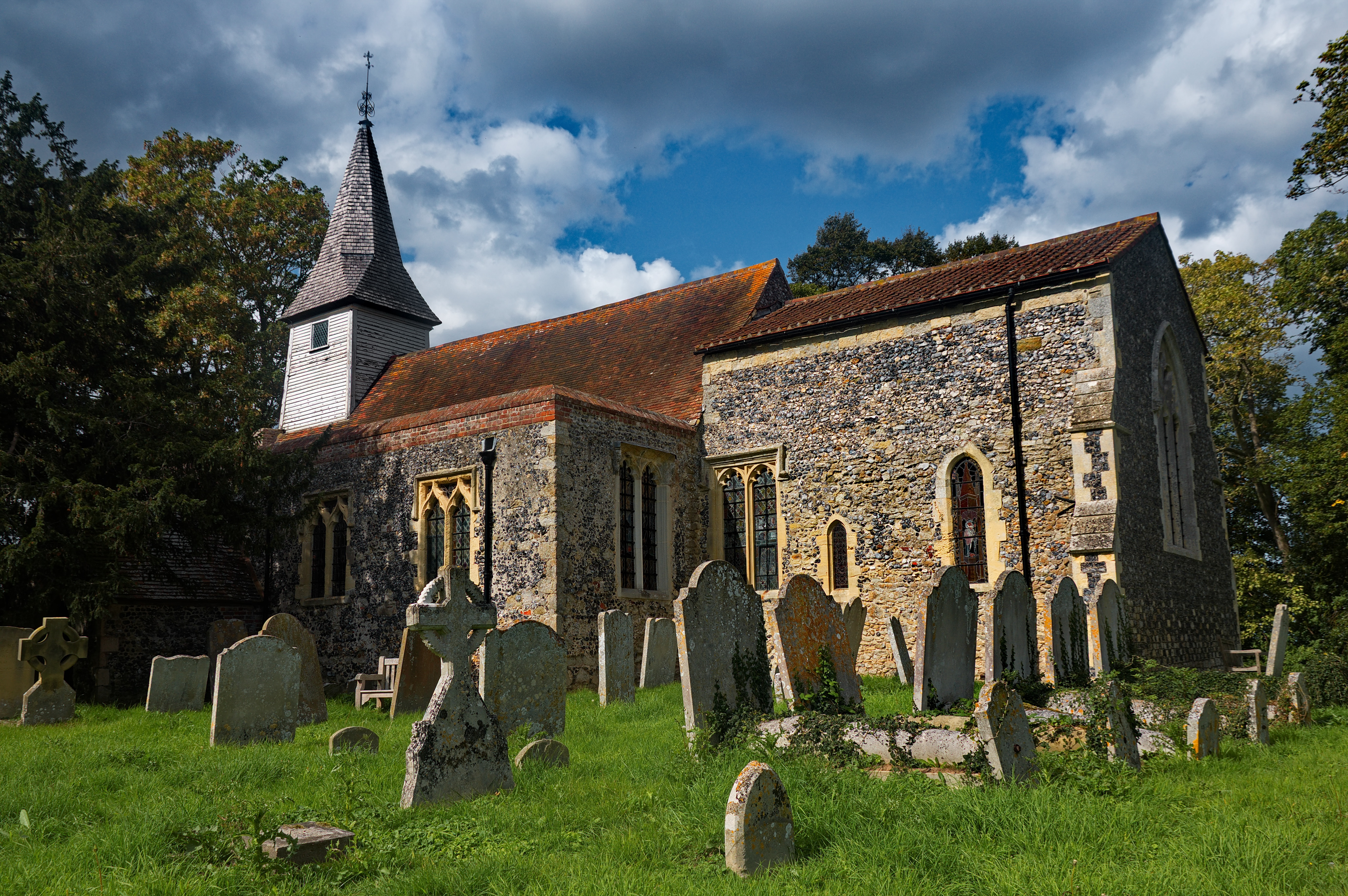
All Saints Church, West Stourmouth
All Saints Church, West Stourmouth, is a redundant Anglican church in the civil parish of Stourmouth, Kent, England. It is recorded in the National Heritage...

Stourmouth
Stourmouth is a civil parish in the Dover non-metropolitan district of Kent, England. The parish contains the settlements of East and West Stourmouth,...

Sarre Penn
Sarre Penn is a tributary of the River Stour in Kent, England, joining with the River Wantsum near Sarre, where it is known locally as the Fishbourne...

Grove Ferry Picnic Area
The Grove Ferry Picnic Area is near Upstreet, in Kent, England, on the site of an old hand-drawn ferry that once crossed the River Stour here. The area...
Nearby Amenities
Located within 500m of 51.325755,1.2284182Have you been to Blood Point?
Leave your review of Blood Point below (or comments, questions and feedback).