Stourmouth Valley
Valley in Kent Dover
England
Stourmouth Valley
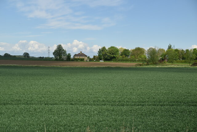
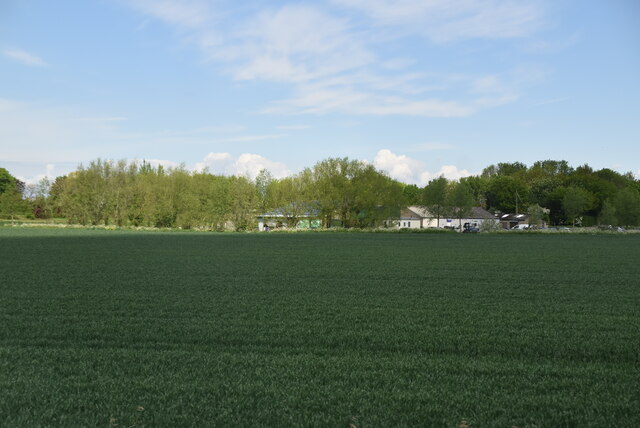
Stourmouth Valley is a picturesque and scenic valley located in the county of Kent, England. Situated in the southeast of the country, the valley is nestled between rolling hills and surrounded by the natural beauty of the Kentish countryside.
The valley is traversed by the River Stour, which meanders through the landscape, adding to its charm and allure. The river not only enhances the visual appeal of the valley but also provides a habitat for a variety of wildlife, including birds, fish, and otters.
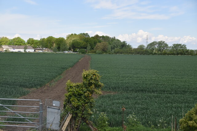
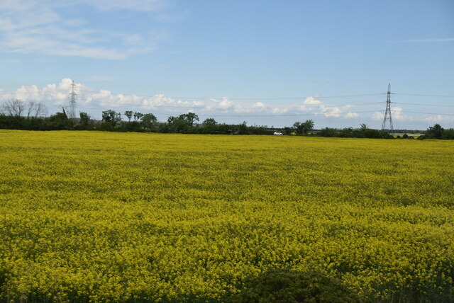
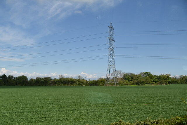
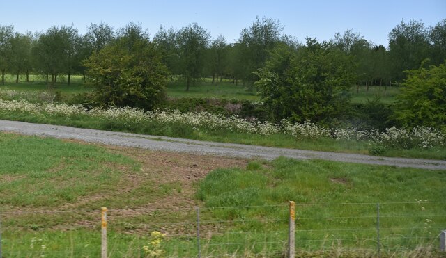
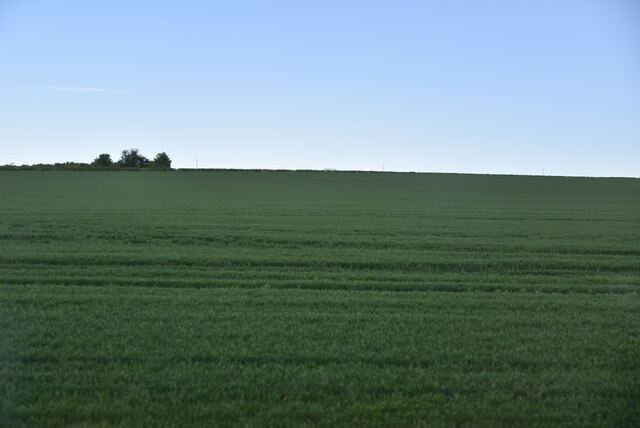
Stourmouth Valley is renowned for its lush greenery and abundant flora. The valley is carpeted with vibrant wildflowers during the spring and summer months, creating a colorful and vibrant atmosphere. The landscape is dominated by fields and meadows, dotted with grazing livestock, creating a quintessential English countryside scene.
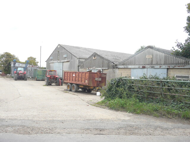
The valley is also home to several charming villages, including Stourmouth and Wingham, which offer a glimpse into traditional village life. These villages feature historic buildings, such as churches and cottages, adding to the valley's nostalgic charm.
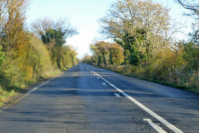
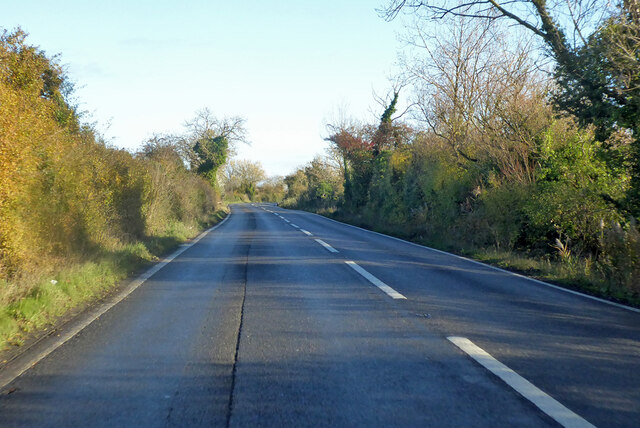
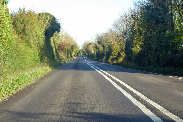
For outdoor enthusiasts, Stourmouth Valley offers a range of activities, including walking, cycling, and fishing. There are numerous footpaths and trails that crisscross the valley, providing opportunities to explore the stunning scenery and enjoy the tranquility of the surroundings.
Overall, Stourmouth Valley, with its natural beauty, picturesque villages, and outdoor activities, is a haven for those seeking a peaceful retreat in the heart of the Kentish countryside.
If you have any feedback on the listing, please let us know in the comments section below.
Stourmouth Valley Images
Images are sourced within 2km of 51.327763/1.2390974 or Grid Reference TR2563. Thanks to Geograph Open Source API. All images are credited.


Stourmouth Valley is located at Grid Ref: TR2563 (Lat: 51.327763, Lng: 1.2390974)
Administrative County: Kent
District: Dover
Police Authority: Kent
What 3 Words
///lightens.risky.thankful. Near Ash, Kent
Nearby Locations
Related Wikis
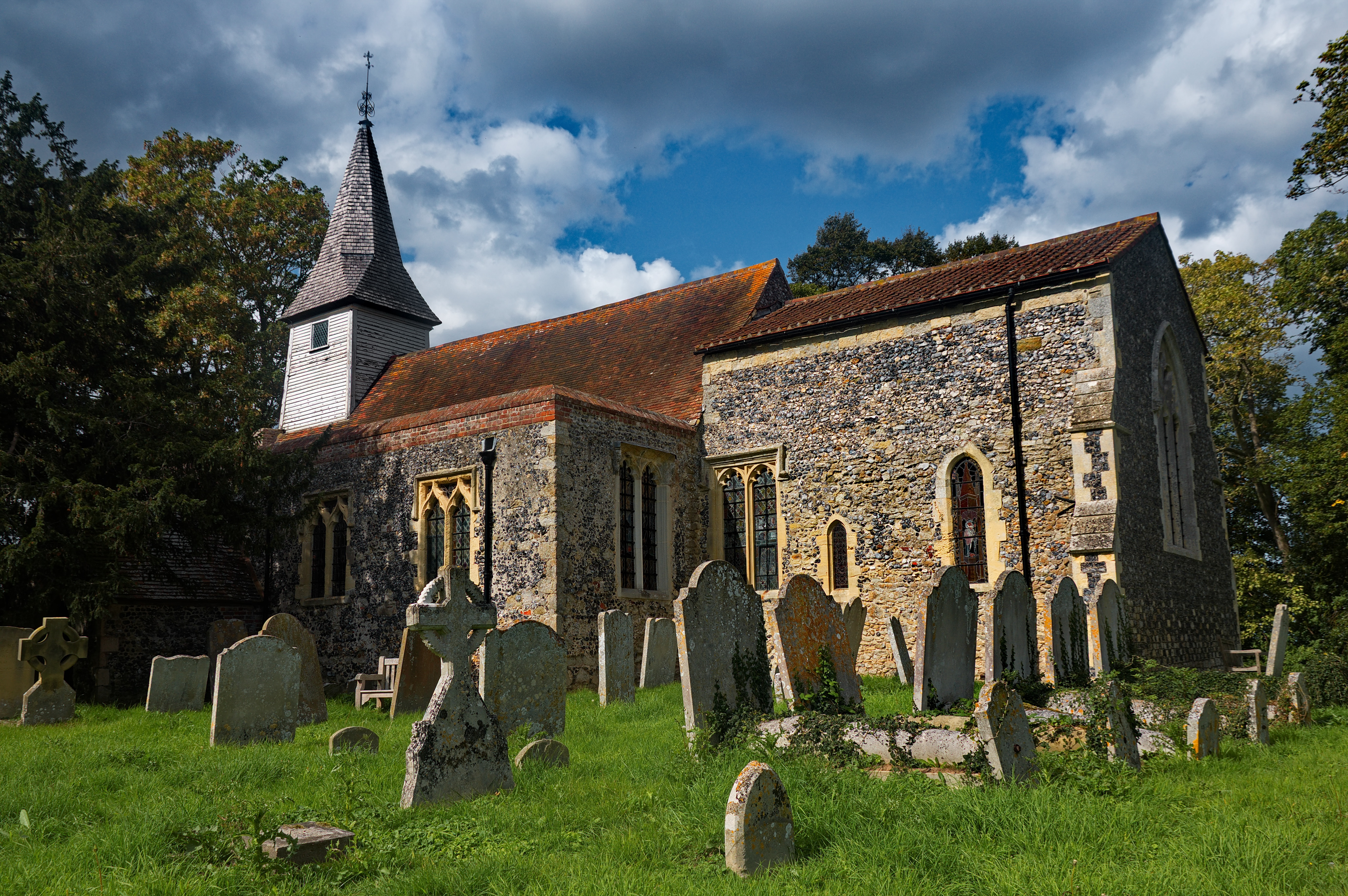
All Saints Church, West Stourmouth
All Saints Church, West Stourmouth, is a redundant Anglican church in the civil parish of Stourmouth, Kent, England. It is recorded in the National Heritage...

Little Stour
The Little Stour is one of the tributaries of the River Stour in the English county of Kent. The upper reaches of the river is known as the Nailbourne...
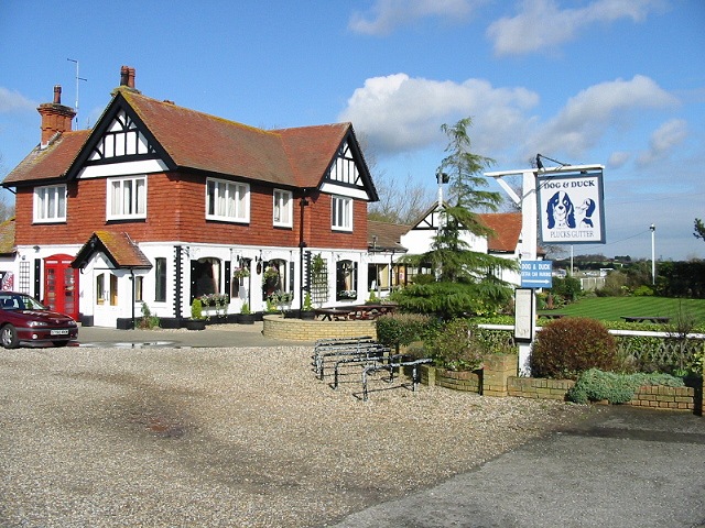
Plucks Gutter
Plucks Gutter is a hamlet in the civil parish of Stourmouth, Kent, England. The hamlet is situated where the Little Stour and Great Stour rivers meet...

Stourmouth
Stourmouth is a civil parish in the Dover non-metropolitan district of Kent, England. The parish contains the settlements of East and West Stourmouth,...
Have you been to Stourmouth Valley?
Leave your review of Stourmouth Valley below (or comments, questions and feedback).