Ness Head

Landscape Feature in Yorkshire Ryedale

England

Ness Head

St Mary's Church ruins, Levisham
St Mary's Church ruins, Levisham Credit: Colin Park

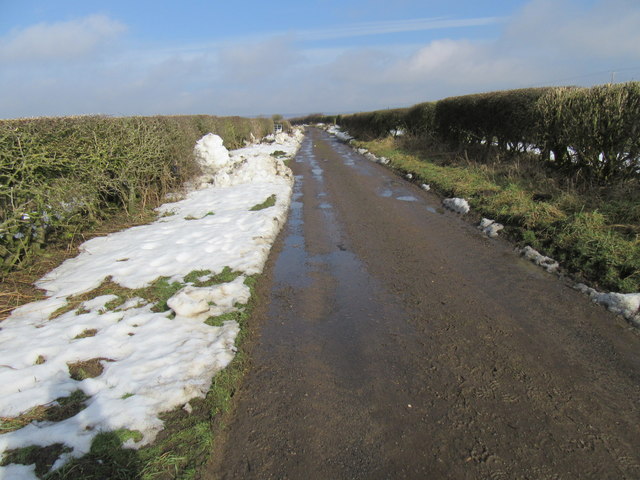
Ness Head is a prominent landscape feature located in the county of Yorkshire, England. Situated on the eastern coast, it is a rugged headland that juts out into the North Sea, offering breathtaking views and a unique geological makeup.

The headland is formed by layers of sedimentary rock, primarily consisting of limestone and sandstone, which have been shaped and eroded over millions of years. This erosion has resulted in the creation of steep cliffs that tower over the crashing waves below. The rock formations are a testament to the powerful forces of nature and provide a glimpse into the region's geological history.

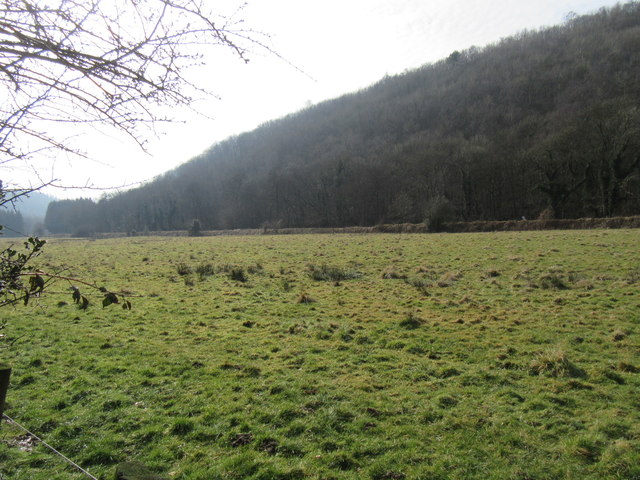
Ness Head is also home to a diverse array of flora and fauna, making it an important ecological site. The cliffs provide nesting sites for various seabirds, including puffins, kittiwakes, and guillemots. The surrounding grassy areas are filled with wildflowers, adding vibrant colors to the landscape during the summer months.

Due to its unique geography and natural beauty, Ness Head has become a popular destination for nature enthusiasts and hikers. There are several walking trails that wind along the cliffs, allowing visitors to explore the headland and enjoy panoramic views of the North Sea. Additionally, the area is a designated nature reserve, ensuring the preservation of its unique ecosystem.

In conclusion, Ness Head in Yorkshire is a remarkable landscape feature characterized by its dramatic cliffs, diverse wildlife, and stunning views. It offers visitors a chance to immerse themselves in the natural beauty of the region and experience the power of the North Sea firsthand.

If you have any feedback on the listing, please let us know in the comments section below.
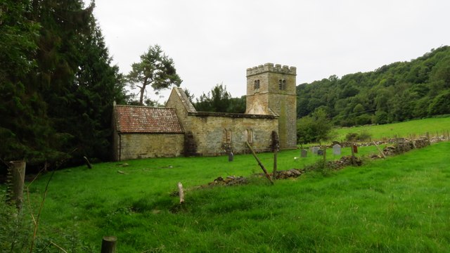
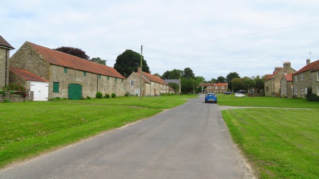
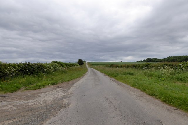
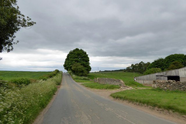
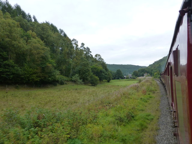
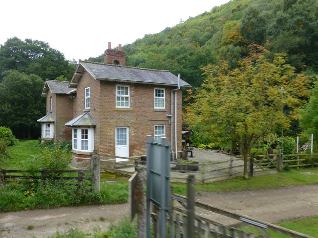
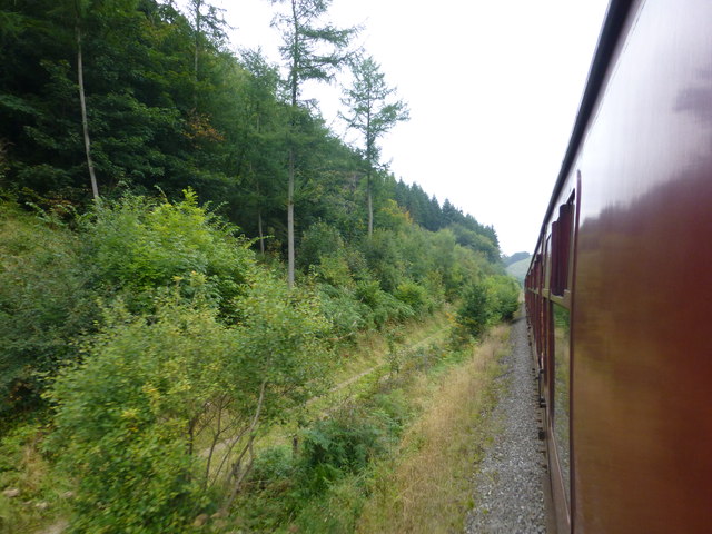
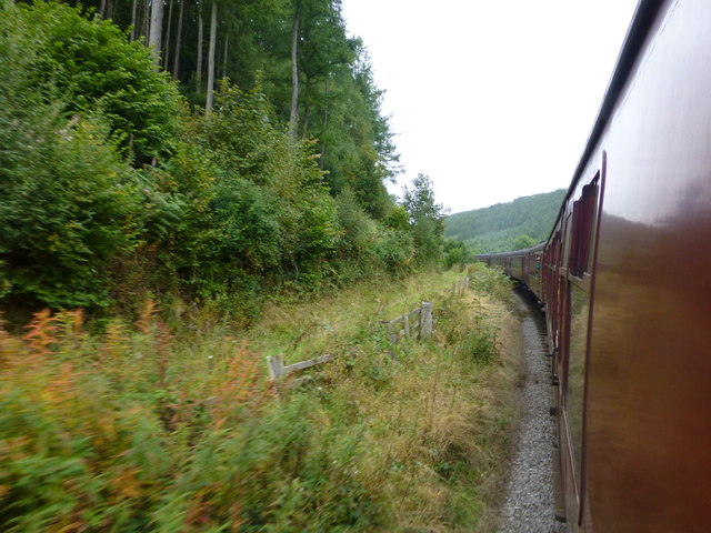
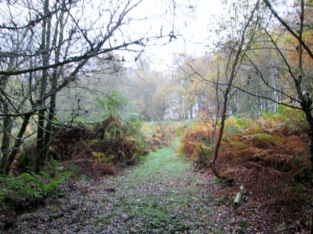
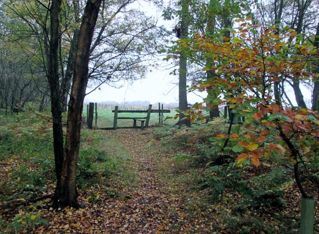
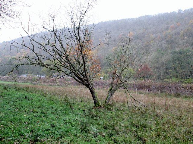
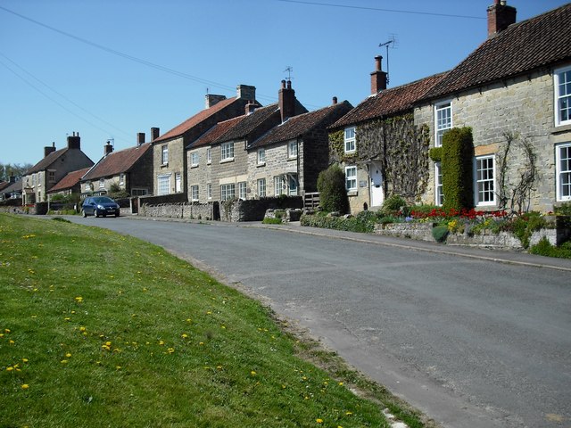
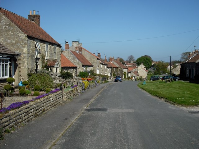
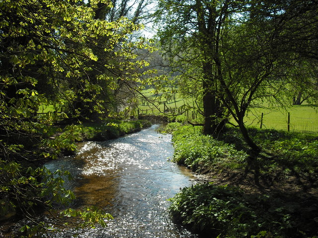
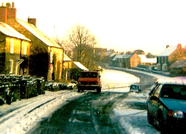
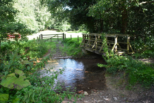
Ness Head Images

Images are sourced within 2km of 54.287141/-0.72771168 or Grid Reference SE8288. Thanks to Geograph Open Source API. All images are credited.

St Mary's Church ruins, Levisham
Levisham - village street and green
Ruddings Road, Newton-on-Rawcliffe A minor road, long and straight
Ruddings Road, Newton-on-Rawcliffe
A minor road, long and straight
Yatts Farm, Yatts Road, south of Newton
Steam train approaches Farwath A remote farmstead at Nesshead
Steam train approaches Farwath
A remote farmstead at Nesshead
Cottages at farmtrack crossing at Farwath
Farmtrack alongside the railway at Spring Wood A straight stretch of the NYMR
Farmtrack alongside the railway at Spring Wood
A straight stretch of the NYMR
Curve in the line at Blansby Park Wood View from passing train
Curve in the line at Blansby Park Wood
View from passing train
Footpath  through  Blansby  Park  Wood  on  a  misty  day Leading out on to the fields on Blansby Park
Footpath through Blansby Park Wood on a misty day
Leading out on to the fields on Blansby Park
Footpath  to  stile  and  open  fields Ahead the wide open fields on the plateau called Blansby Park once a royal deer park, by 1267 it had been made and 1500 deer was the highest figure recorded
Footpath to stile and open fields
Ahead the wide open fields on the plateau called Blansby Park once a royal deer park, by 1267 it had been made and 1500 deer was the highest figure recorded
Tree  on  rough  grazing  Newton  Dale The level crossing at Farworth is to the left
Tree on rough grazing Newton Dale
The level crossing at Farworth is to the left
Lockton village street An almost timeless piece of 'townscape'. The building behind the car is a Listed Building; part of it was a butcher's shop.
Lockton village street
An almost timeless piece of 'townscape'. The building behind the car is a Listed Building; part of it was a butcher's shop.
Lockton village street A view from the opposite end of the road shown in <a href="https://www.geograph.org.uk/photo/4951449">SE8489 : Lockton village street</a>
Lockton village street
A view from the opposite end of the road shown in SE8489 : Lockton village street
Ford crossing of Levisham Beck Taken from the adjacent footbridge, this is the point where Sleights Road, a bridleway, crosses Levisham Beck. There is a low dam and sluice in the middle distance.
Ford crossing of Levisham Beck
Taken from the adjacent footbridge, this is the point where Sleights Road, a bridleway, crosses Levisham Beck. There is a low dam and sluice in the middle distance.
Snow Scene in Lockton
Levisham Beck Ford This ford on the Levisham Beck is found beside the railway track at Farwath. A video of the ford can be viewed at:
<span class="nowrap"><a title="https://youtu.be/7YlWd7MOYxg" rel="nofollow ugc noopener" href="https://youtu.be/7YlWd7MOYxg">Link</a><img style="margin-left:2px;" alt="External link" title="External link - shift click to open in new window" src="https://s1.geograph.org.uk/img/external.png" width="10" height="10"/></span>
Levisham Beck Ford
This ford on the Levisham Beck is found beside the railway track at Farwath. A video of the ford can be viewed at: LinkExternal link
Westfield Lane Looking towards Lockton.
Westfield Lane
Looking towards Lockton.
Newton Dale The railway line ahead.
Newton Dale
The railway line ahead.
Show me another place!

Ness Head is located at Grid Ref: SE8288 (Lat: 54.287141, Lng: -0.72771168)

Division: North Riding

Administrative County: North Yorkshire

District: Ryedale

Police Authority: North Yorkshire

What 3 Words

///stars.unlimited.worked. Near Pickering, North Yorkshire

Nearby Locations

Ness Head

Related Wikis

Levisham

Levisham is a small village and civil parish in North Yorkshire, England, located within the North York Moors National Park about 5 miles (8 km) north...

Lockton

Lockton is a small village and civil parish in North Yorkshire, England. It is situated in the North York Moors about 4 miles (6.4 km) north-east of Pickering...

Newton-on-Rawcliffe

Newton-on-Rawcliffe is a village and civil parish (as Newton) in North Yorkshire, England. It is in the North York Moors National Park, 4 miles (6.4 km...

Levisham railway station

Levisham railway station is a station on the North Yorkshire Moors Railway and serves the village of Levisham in the North York Moors National Park, North...

14–18 NOW

14–18 NOW was the UK's arts programme for the First World War centenary. Working with arts and heritage partners all across the UK, the programme commissioned...

Pexton Moor

Pexton Moor is an archaeological site in North Yorkshire containing a prehistoric cemetery. It is located at the western edge of Dalby Forest, north of...

Newbridge, North Yorkshire

Newbridge is a hamlet, near Pickering in North Yorkshire, England.

Ellerburn

Ellerburn is a village in the Ryedale district of North Yorkshire, England, situated near Thornton-le-Dale, about 3 miles (4.8 km) east of Pickering....

Nearby Amenities

Located within 500m of 54.287141,-0.72771168
Railway: level_crossing
Lat/Long: 54.2839946/-0.7277373
Ford: yes
Lat/Long: 54.2839029/-0.7282604
Natural: spring
Lat/Long: 54.2850396/-0.7270239
Natural: spring
Lat/Long: 54.288429/-0.7242927
Information: guidepost
Tourism: information
Lat/Long: 54.2847485/-0.7276363
Information: route_marker
Tourism: information
Lat/Long: 54.2842989/-0.7267419
Information: route_marker
Tourism: information
Lat/Long: 54.2844755/-0.7269059
Information: route_marker
Tourism: information
Lat/Long: 54.2850481/-0.7271522
Information: route_marker
Tourism: information
Lat/Long: 54.2866484/-0.7265166
Information: route_marker
Tourism: information
Lat/Long: 54.2872183/-0.7264334
Information: route_marker
Tourism: information
Lat/Long: 54.2887153/-0.7250513
The data included in this document is from www.openstreetmap.org. The data is made available under ODbL.

Have you been to Ness Head?

Leave your review of Ness Head below (or comments, questions and feedback).