Corn Hill Point
Coastal Feature, Headland, Point in Yorkshire Ryedale
England
Corn Hill Point

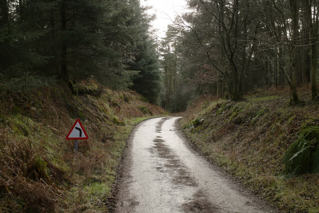
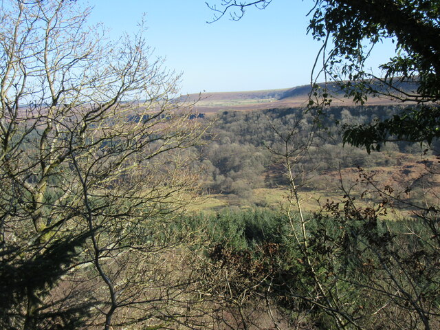
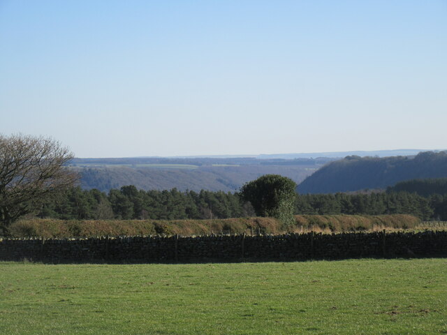
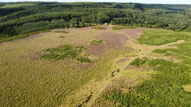
Corn Hill Point is a prominent coastal feature located in the county of Yorkshire, England. Positioned as a headland, it extends out into the North Sea, forming a distinct point along the coastline. Situated near the town of Scarborough, it is renowned for its picturesque beauty and rich natural surroundings.
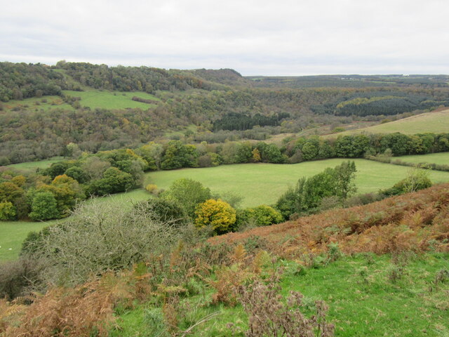
The headland is characterized by its rocky cliffs, which rise majestically from the sea, providing a stunning backdrop against the crashing waves. These cliffs are composed of layers of sedimentary rocks, displaying a range of colors and textures, adding to the area's visual appeal.
Corn Hill Point is also known for its diverse wildlife. The surrounding waters serve as a habitat for a variety of marine species, including seals and seabirds, making it an ideal spot for birdwatching and wildlife enthusiasts. Visitors can often catch a glimpse of guillemots, kittiwakes, and even the occasional puffin.
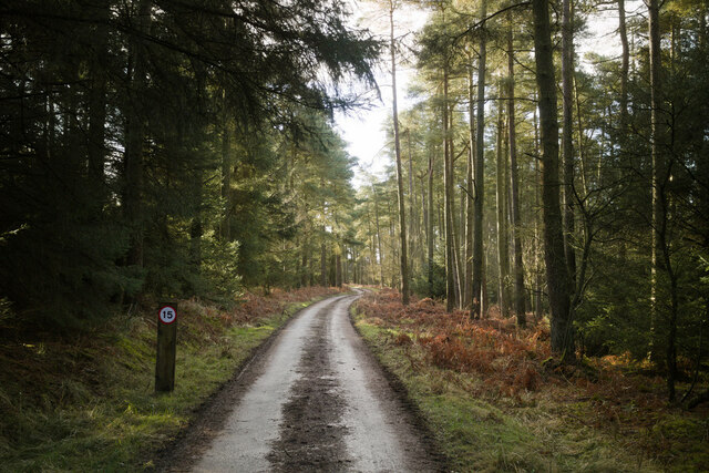
For those seeking outdoor activities, Corn Hill Point offers several walking trails along the cliffs, providing breathtaking views of the coastline and the North Sea. The area is also popular for fishing, with an abundance of fish species found in the surrounding waters.
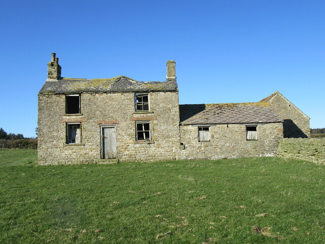
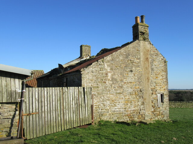
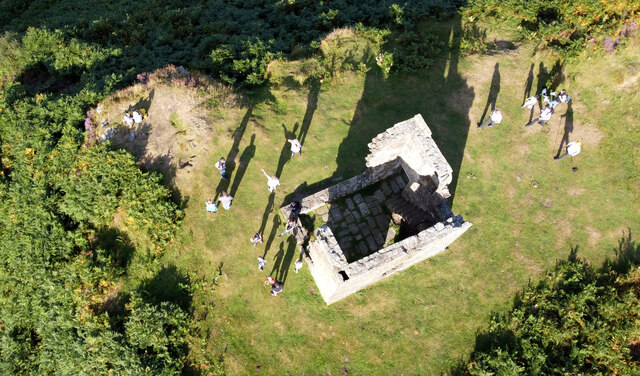
Moreover, the headland boasts a rich historical significance. It is home to the ruins of an ancient castle, believed to have been built in the medieval period. The castle ruins serve as a reminder of the area's past and provide a fascinating glimpse into Yorkshire's history.
Overall, Corn Hill Point stands as a captivating coastal feature, showcasing the natural beauty, diverse wildlife, and historical significance of the Yorkshire coastline.
If you have any feedback on the listing, please let us know in the comments section below.
Corn Hill Point Images
Images are sourced within 2km of 54.323188/-0.74202146 or Grid Reference SE8192. Thanks to Geograph Open Source API. All images are credited.

Corn Hill Point is located at Grid Ref: SE8192 (Lat: 54.323188, Lng: -0.74202146)
Division: North Riding
Administrative County: North Yorkshire
District: Ryedale
Police Authority: North Yorkshire
What 3 Words
///bookmark.locals.tiptoes. Near Pickering, North Yorkshire
Nearby Locations
Related Wikis
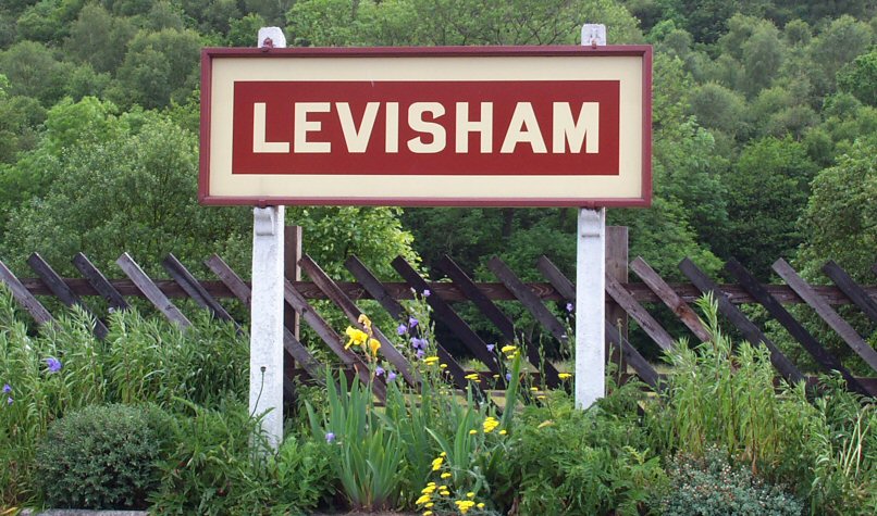
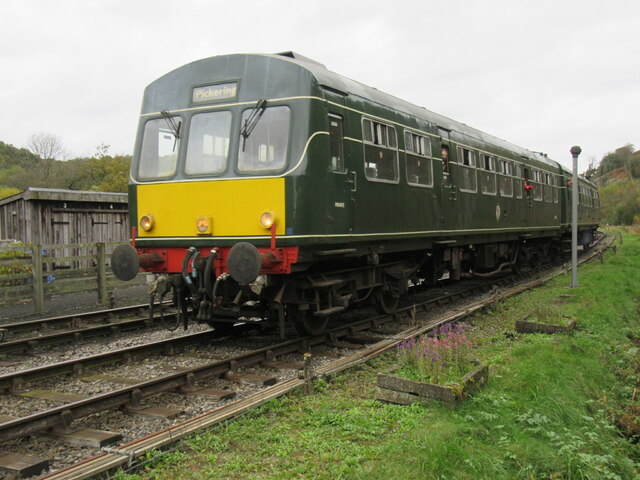
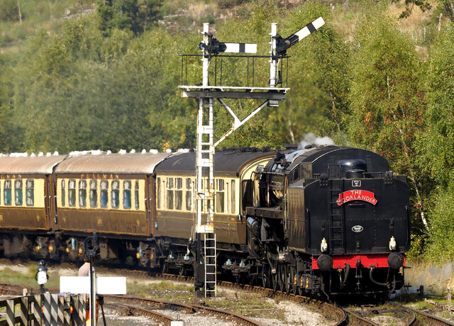
Levisham railway station
Levisham railway station is a station on the North Yorkshire Moors Railway and serves the village of Levisham in the North York Moors National Park, North...

Newton-on-Rawcliffe
Newton-on-Rawcliffe is a village and civil parish (as Newton) in North Yorkshire, England. It is in the North York Moors National Park, 4 miles (6.4 km...

Levisham
Levisham is a small village and civil parish in North Yorkshire, England, located within the North York Moors National Park about 5 miles (8 km) north...

Stape
Stape is a hamlet and civil parish in the Ryedale district of North Yorkshire, England. At the 2011 Census the population was less than 100; details are...

Newton Dale Halt railway station
Newton Dale Halt railway station is a request stop on the North Yorkshire Moors Railway and serves as a stopping off point for walkers around Newton Dale...

Hole of Horcum
The Hole of Horcum is a section of the valley of the Levisham Beck, upstream of Levisham and Lockton, in the Tabular Hills of the North York Moors National...

Lockton
Lockton is a small village and civil parish in North Yorkshire, England. It is situated in the North York Moors about 4 miles (6.4 km) north-east of Pickering...

Newton Dale
Newton Dale is a narrow dale within the North York Moors National Park in North Yorkshire, England. It was created by meltwater from a glacier carving...
Nearby Amenities
Located within 500m of 54.323188,-0.74202146Have you been to Corn Hill Point?
Leave your review of Corn Hill Point below (or comments, questions and feedback).