Ravine Head
Landscape Feature in Hampshire Rushmoor
England
Ravine Head

Ravine Head is a picturesque landscape feature located in Hampshire, England. Situated on the outskirts of the charming village of Brockenhurst, this natural phenomenon is renowned for its stunning beauty and unique geological formations.
The defining characteristic of Ravine Head is its deep, narrow ravine that runs through the heart of the area. The ravine is a product of centuries of erosion caused by the flow of the Lymington River, which meanders through the region. Its steep sides are composed of exposed layers of sandstone and clay, creating a visually striking contrast against the lush greenery that surrounds it.
The ravine is flanked by dense woodlands, dominated by a variety of tree species such as oak, beech, and birch. These trees provide a canopy that filters sunlight, casting dappled shadows on the forest floor. This unique ecosystem supports a wide range of flora and fauna, including rare ferns, wildflowers, and a diverse array of bird species.
Visitors to Ravine Head can explore the area via a network of footpaths and trails that wind their way through the woods, offering breathtaking vistas of the ravine and the surrounding landscape. The tranquility and serenity of the site make it a popular destination for nature enthusiasts, hikers, and photographers.
Overall, Ravine Head is a captivating landscape feature that showcases the beauty of Hampshire's natural environment. Its awe-inspiring ravine, lush woodlands, and diverse wildlife make it a must-visit destination for those seeking an escape into nature.
If you have any feedback on the listing, please let us know in the comments section below.
Ravine Head Images
Images are sourced within 2km of 51.263585/-0.7971076 or Grid Reference SU8452. Thanks to Geograph Open Source API. All images are credited.


Ravine Head is located at Grid Ref: SU8452 (Lat: 51.263585, Lng: -0.7971076)
Administrative County: Hampshire
District: Rushmoor
Police Authority: Hampshire
What 3 Words
///solve.bunch.flippers. Near Aldershot, Hampshire
Nearby Locations
Related Wikis

Bourley and Long Valley
Bourley and Long Valley is a 823.5-hectare (2,035-acre) biological Site of Special Scientific Interest between Fleet and Aldershot in Hampshire. It is...

Eelmoor Marsh
Eelmoor Marsh is a 66.3-hectare (164-acre) biological Site of Special Scientific Interest between Fleet and Farnborough in Hampshire. It is part of Thames...

Rushmoor Arena
Rushmoor Arena is an outdoor arena in Aldershot. It is a secure area of 28 Hectares (68 acres) surrounded by a security fence which is mainly hidden by...
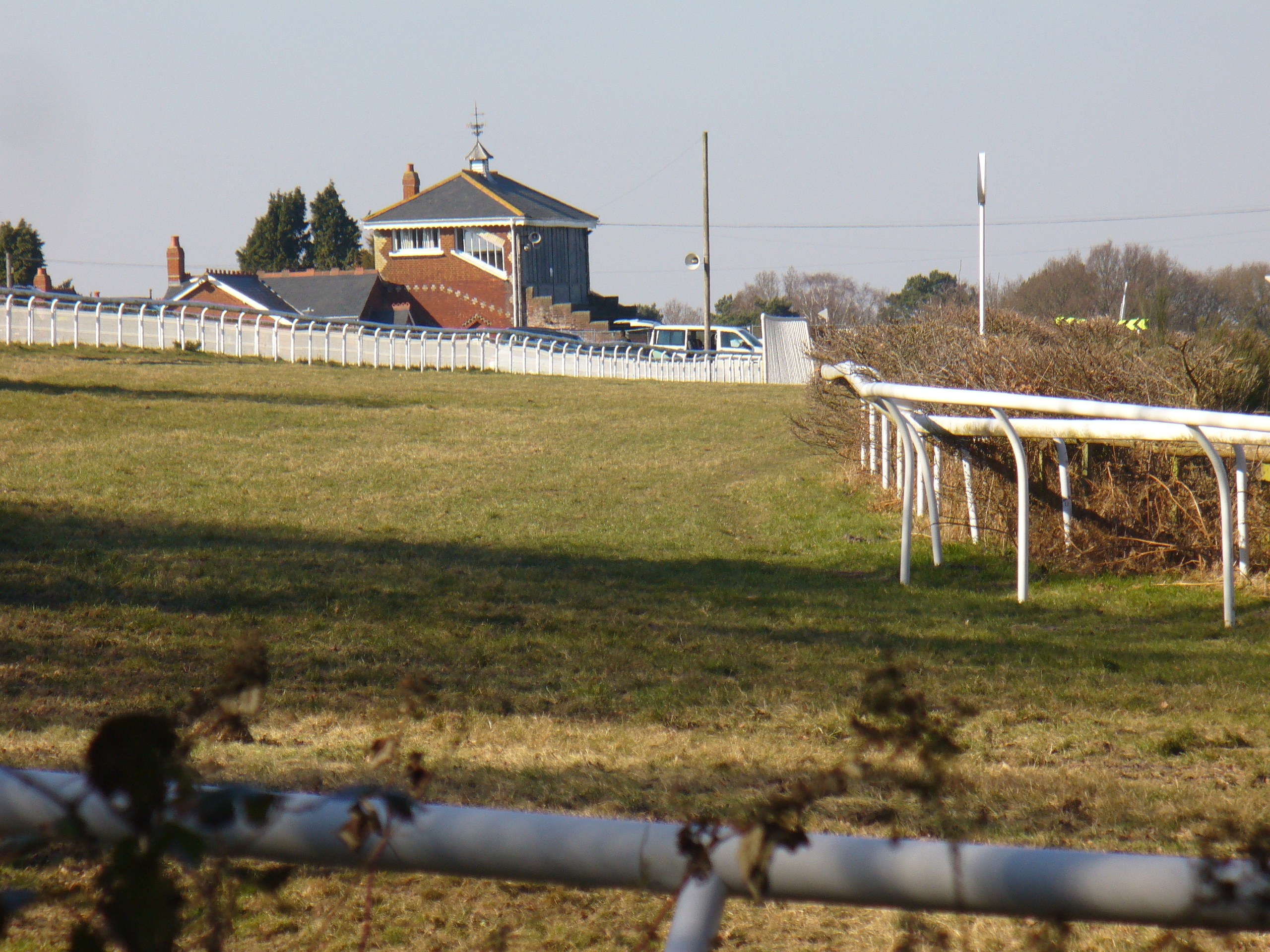
Tweseldown Racecourse
Tweseldown Racecourse southeast of Fleet, Hampshire was originally a National Hunt steeplechasing venue and the home of the equestrian dressage and eventing...

Equestrian statue of the Duke of Wellington, Aldershot
The Wellington statue in Aldershot, England is a monument to Arthur Wellesley, 1st Duke of Wellington, victor at the Battle of Waterloo and later prime...

Royal Pavilion, Aldershot
The Royal Pavilion, also known as the Queen's Pavilion, was a royal residence located at Aldershot in Hampshire. The most unpretentious of all royal residences...

Royal Garrison Church, Aldershot
Royal Garrison Church of All Saints is a Church of England church in Aldershot Garrison, England. It was built in 1863 and designed by the architect P...
Equestrian at the 1948 Summer Olympics
The equestrian events at the 1948 London Summer Olympics included dressage, eventing, and show jumping. All three disciplines had both individual and team...
Nearby Amenities
Located within 500m of 51.263585,-0.7971076Have you been to Ravine Head?
Leave your review of Ravine Head below (or comments, questions and feedback).