Greinton

Settlement in Somerset Sedgemoor

England

Greinton

Shapwick - St Mary's Church The central tower of the parish church is on 13th century arches.
Shapwick - St Mary's Church Credit: Colin Smith

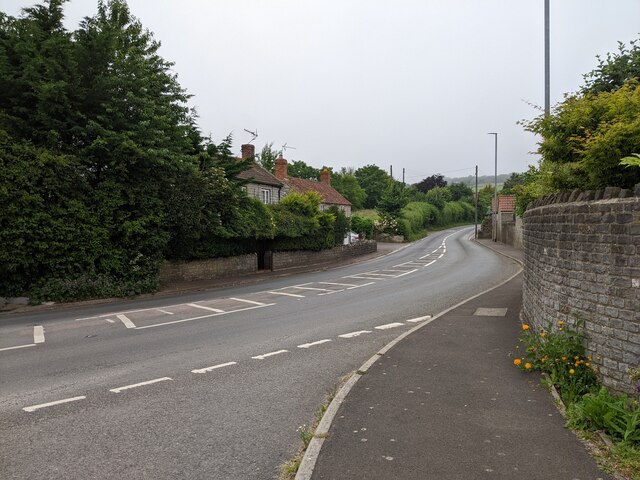
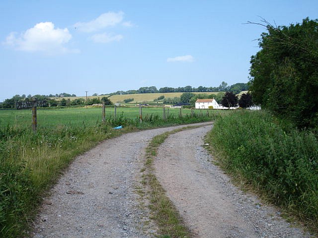
Greinton is a small village located in the county of Somerset, England. Situated approximately 6 miles southwest of Bridgwater, it lies in the Sedgemoor district. The village is nestled amidst picturesque countryside, with the River Parrett flowing nearby.

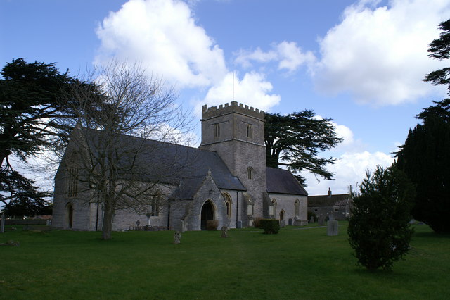
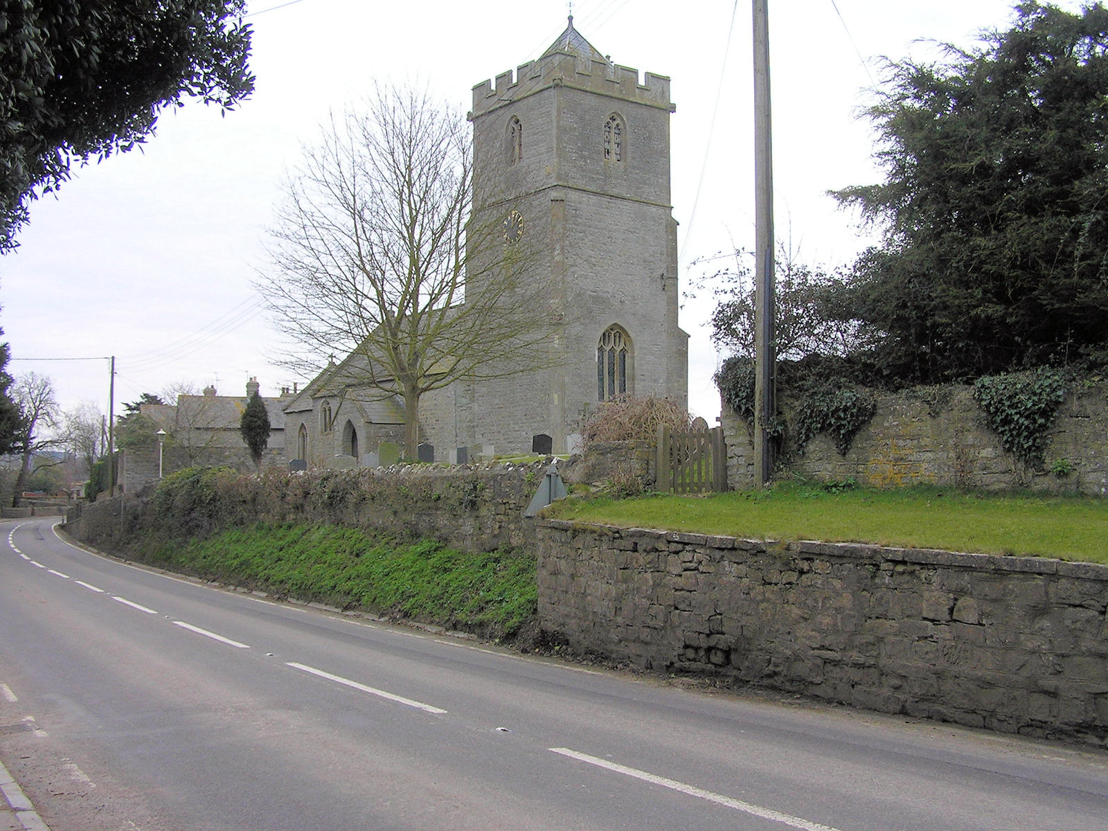
Historically, Greinton dates back to the Anglo-Saxon era, and its name is believed to be derived from the Old English words "grene" and "tun," meaning green farm or settlement. The village still retains much of its rural charm and traditional architecture.

Despite its small size, Greinton offers several amenities to its residents and visitors. The village is home to a charming pub, serving local ales and traditional British cuisine. There is also a village hall, which hosts various community events and gatherings throughout the year.

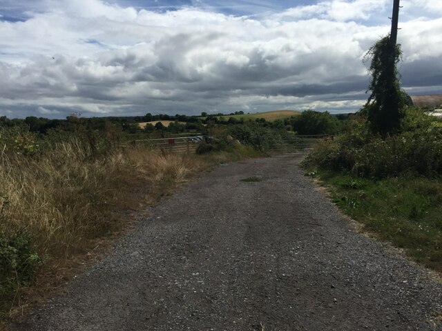
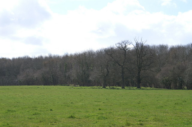
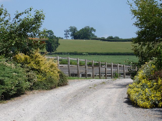
Surrounded by fertile farmlands, agriculture plays a significant role in the local economy, with farming being the primary occupation for many residents. The village is known for its dairy farming, and the lush green fields provide an idyllic setting.

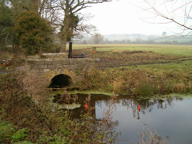
Greinton's close proximity to the River Parrett also makes it a popular spot for fishing and boating enthusiasts. The river offers opportunities for leisurely walks along its banks, providing a tranquil escape from the hustle and bustle of city life.

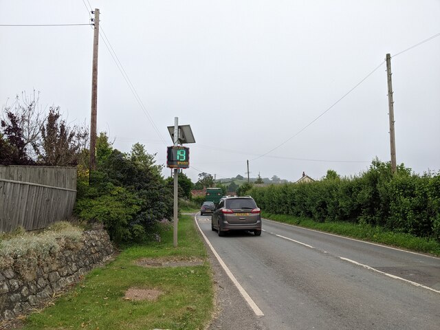
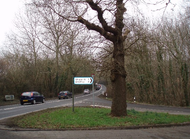
Furthermore, Greinton benefits from its strategic location, offering easy access to nearby towns and cities. The M5 motorway is just a short drive away, connecting the village to larger urban centers.

Overall, Greinton is a charming rural village, offering a peaceful and picturesque setting for its residents and visitors alike.

If you have any feedback on the listing, please let us know in the comments section below.

Greinton Images

Images are sourced within 2km of 51.12359/-2.836213 or Grid Reference ST4136. Thanks to Geograph Open Source API. All images are credited.

Shapwick - St Mary's Church The central tower of the parish church is on 13th century arches.
Shapwick - St Mary's Church
The central tower of the parish church is on 13th century arches.
Shapwick - Font Font and banner within St Mary, the parish church.
Shapwick - Font
Font and banner within St Mary, the parish church.
Sign for Moorsedge Farm on the A361
Lane junction for Moorlinch on the A361
The A361 heading towards Glastonbury
Speed check sign at Pedwell
Old Direction Sign, A361 Base of <a href="https://www.geograph.org.uk/photo/6037435">ST4136 : Old Direction Sign - Signpost by the A361, Taunton Road, Greinton</a> though the finger to Moorlinch has disappeared since 2014.

Inscription: Sheldon Wells

Milestone Society National ID: SO_ST4136
Old Direction Sign, A361
Base of ST4136 : Old Direction Sign - Signpost by the A361, Taunton Road, Greinton though the finger to Moorlinch has disappeared since 2014. Inscription: Sheldon Wells Milestone Society National ID: SO_ST4136
Track and footpath Track and footpath to farmland near the village of Moorlinch.
Track and footpath
Track and footpath to farmland near the village of Moorlinch.
Rhyne and Accommodation Bridge
St.Michael and All Angels. Greinton. Just above the A361, the access is through the gate to the right of the picture. The local stone is grey lias.
St.Michael and All Angels. Greinton.
Just above the A361, the access is through the gate to the right of the picture. The local stone is grey lias.
Road Junction on the A39 The sign reads Shapwick 1, Westhay 4. The main road is the A39 but as can be seen it is only a single carriageway road.
Road Junction on the A39
The sign reads Shapwick 1, Westhay 4. The main road is the A39 but as can be seen it is only a single carriageway road.
Chapel at Pedwell Tucked away on a quiet lane this plain little chapel is looking for a new owner.
Chapel at Pedwell
Tucked away on a quiet lane this plain little chapel is looking for a new owner.
The Albion Inn. Ashcott The sign on the wall reads, Truckstop, Restaurant, All Welcome. The A39 on the left of the picture carries a lot of heavy goods vehicles.
The Albion Inn. Ashcott
The sign on the wall reads, Truckstop, Restaurant, All Welcome. The A39 on the left of the picture carries a lot of heavy goods vehicles.
The Blessed Virgin Mary Church, Shapwick
Greenway Farm, Greinton To the west of the village, nestling at the foot of the Polden Hills.
Greenway Farm, Greinton
To the west of the village, nestling at the foot of the Polden Hills.
Not a tree The entrance to West Town Farm, Greinton from which one can see, on the ridge, a telecommunications mast disguised as a tree. Somehow the upper branches go upwards too much to be convincing which is why it caught my eye.
Not a tree
The entrance to West Town Farm, Greinton from which one can see, on the ridge, a telecommunications mast disguised as a tree. Somehow the upper branches go upwards too much to be convincing which is why it caught my eye.
Ashcott Inn and A39 The A39 is a very busy road running through the village of Ashcott.
Ashcott Inn and A39
The A39 is a very busy road running through the village of Ashcott.
Show me another place!

Greinton is located at Grid Ref: ST4136 (Lat: 51.12359, Lng: -2.836213)

Administrative County: Somerset

District: Sedgemoor

Police Authority: Avon and Somerset

What 3 Words

///claim.mute.converter. Near Westonzoyland, Somerset

Nearby Locations

Greinton

Related Wikis

Greinton

Greinton is a village and civil parish in Somerset, England, situated on the Somerset Levels and Moors at the foot of the Polden Hills, 9 kilometres (5...

Moorlinch

Moorlinch is a village and civil parish where the Polden Hills meet the Somerset Levels in Somerset, England. == History == The village was known as Mirieling...

Shapwick Moor

Shapwick Moor is an area of 138 acres (0.56 km2) of farmland on the Somerset levels bordering Shapwick Heath and Cattcot Heath. It is part of the Brue...

Ashcott

Ashcott is a small village and civil parish located in the Sedgemoor area of Somerset in the south-west of England. The village has a population of 1...

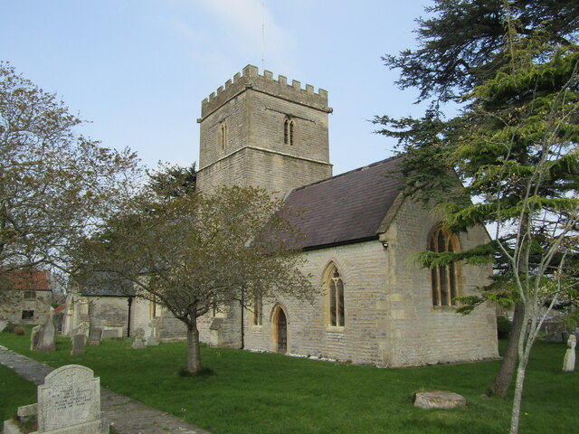
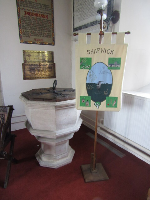
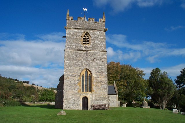
Church of the Blessed Virgin Mary, Shapwick

The Church of the Blessed Virgin Mary in Shapwick within the English county of Somerset was consecrated in 1331. It is a Grade II* listed building. �...

Shapwick, Somerset

Shapwick is a village on the Polden Hills overlooking the Somerset Moors, in Somerset, England. It is situated to the west of Glastonbury. == History... ==
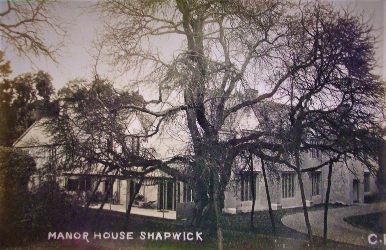
Shapwick Manor

Shapwick Manor at Shapwick in the county of Somerset, England, is a medieval manor house, largely remodelled in the 19th century by Henry Strangways on...

Shapwick School

Shapwick School was a specialist school at Shapwick Manor in Shapwick, a village on the Somerset Levels in Somerset, England. In March 2020, it was announced...

Nearby Amenities

Located within 500m of 51.12359,-2.836213
Greinton
Name Ru: Грейнтон
Place: village
Population: 71
Lat/Long: 51.1240846/-2.841132
Power: pole
Lat/Long: 51.1204109/-2.8312213
Power: pole
Lat/Long: 51.1204839/-2.8329451
Power: pole
Lat/Long: 51.1205379/-2.8343604
Power: pole
Lat/Long: 51.1206106/-2.8360557
Power: pole
Lat/Long: 51.1206811/-2.837769
Power: pole
Lat/Long: 51.1207496/-2.8393834
Power: pole
Lat/Long: 51.1207951/-2.8408273
Give Way
Lat/Long: 51.1240086/-2.842543
Power: pole
Lat/Long: 51.121516/-2.8311623
Power: pole
Lat/Long: 51.1221348/-2.8311353
Power: pole
Lat/Long: 51.1227127/-2.8311179
Power: pole
Lat/Long: 51.1233801/-2.8310812
Power: pole
Lat/Long: 51.1246143/-2.8309365
Power: pole
Lat/Long: 51.1255747/-2.8308149
Power: pole
Lat/Long: 51.126253/-2.8307493
Defibrillator
Booth: K6
Colour: red
Covered: booth
Defibrillator Location: inside red phone box in Greinton
Disused Amenity: telephone
Emergency: defibrillator
Man Made: telephone_box
Mapillary: 1335602890298752
Lat/Long: 51.1236823/-2.8384632
Post Box
Brand: Royal Mail
Brand Wikidata: Q638098
Operator: Royal Mail
Operator Wikidata: Q638098
Post Box Mounting: pier
Post Box Type: lamp
Ref: TA7 44D
Royal Cypher: EIIR
Royal Cypher Wikidata: Q33102113
Lat/Long: 51.1236772/-2.8384417
Advertising: board
Lat/Long: 51.1237065/-2.8384478
The data included in this document is from www.openstreetmap.org. The data is made available under ODbL.

Have you been to Greinton?

Leave your review of Greinton below (or comments, questions and feedback).