Grenitote

Settlement in Inverness-shire

Scotland

Grenitote

Flat boggy tidal ground near Grenitote Traigh Ear (East shore or beach), a magnificent stretch of beach, to the right.
Flat boggy tidal ground near Grenitote Credit: Gordon Brown

The requested URL returned error: 429 Too Many Requests

If you have any feedback on the listing, please let us know in the comments section below.
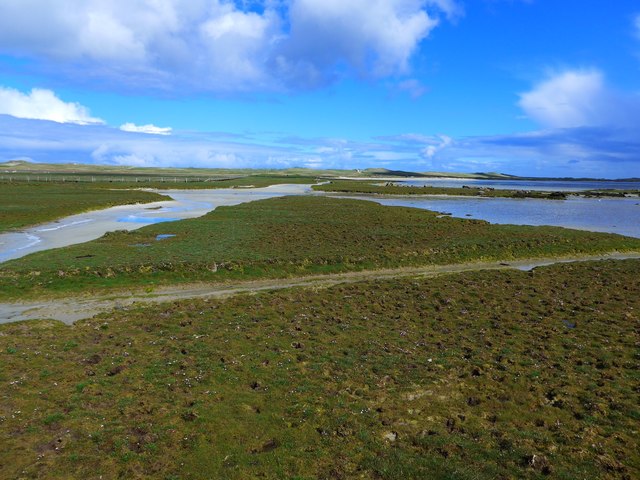
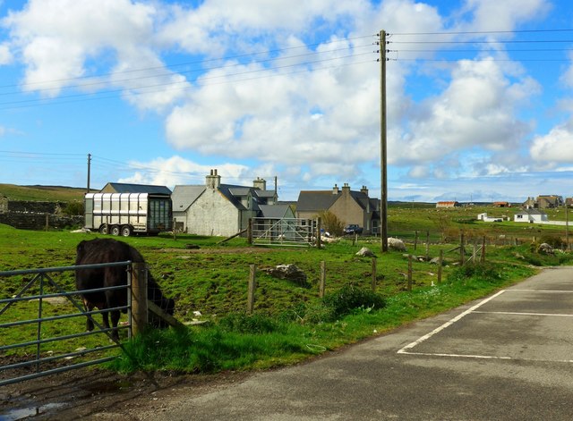
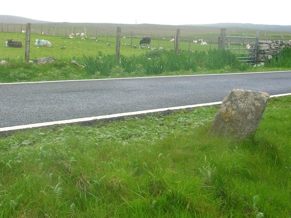
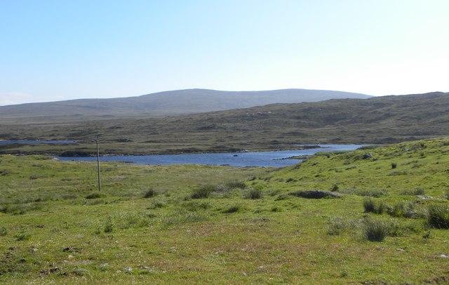
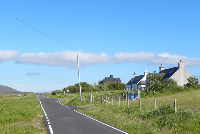
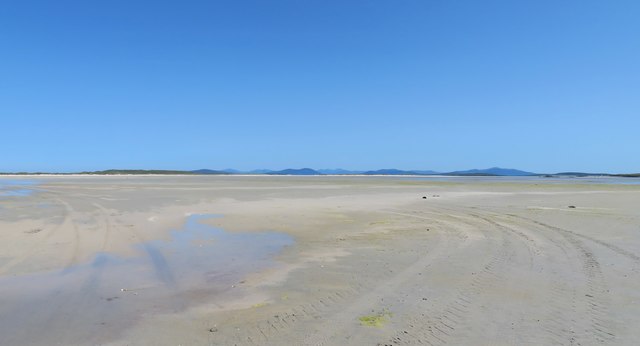
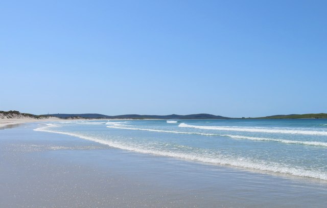
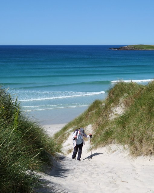
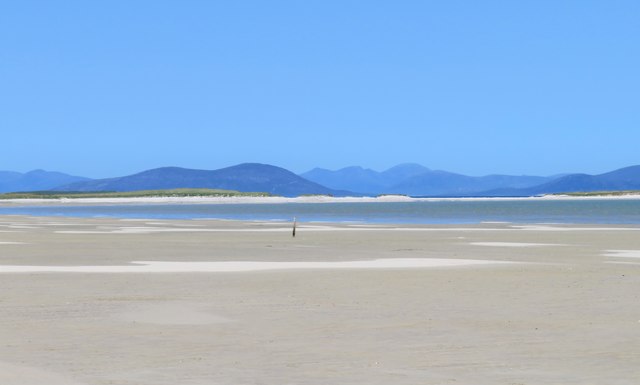
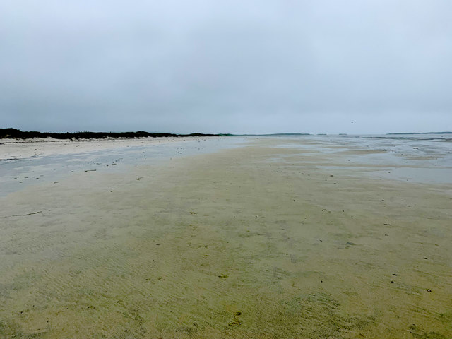
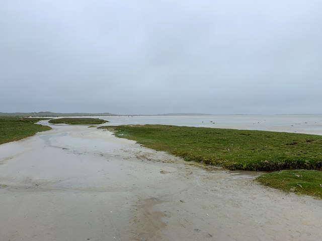
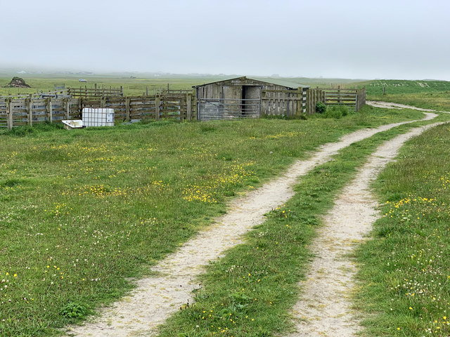
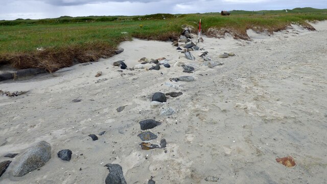
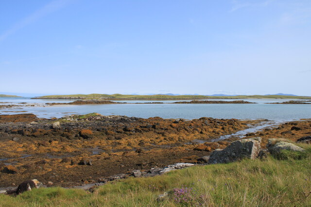
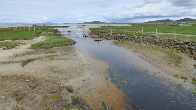
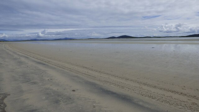
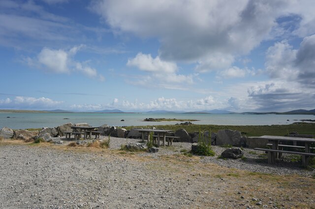
Grenitote Images

Images are sourced within 2km of 57.653762/-7.3272616 or Grid Reference NF8275. Thanks to Geograph Open Source API. All images are credited.

Flat boggy tidal ground near Grenitote Traigh Ear (East shore or beach), a magnificent stretch of beach, to the right.
Flat boggy tidal ground near Grenitote
Traigh Ear (East shore or beach), a magnificent stretch of beach, to the right.
Solas, North Uist This is a typical scattering of houses in a Hebridean 'township'.
Solas, North Uist
This is a typical scattering of houses in a Hebridean 'township'.
Old Milestone by the A865, Middlequater, North Uist Parish Granite slab by the A865, in parish of North Uist (North Uist District), East of junction to Middlequater, near The Rowan Tree B & B.

Surveyed

Milestone Society National ID: WI_NUCW15.
Old Milestone by the A865, Middlequater, North Uist Parish
Granite slab by the A865, in parish of North Uist (North Uist District), East of junction to Middlequater, near The Rowan Tree B & B. Surveyed Milestone Society National ID: WI_NUCW15.
Old Milestone by the A865, Grenitote, North Uist parish Granite slab by the A865, in parish of North Uist (North Uist District), Grenitote, in verge below modern bungalow, North side of road.

Inscription not recorded.

Surveyed

Milestone Society National ID: WI_NUCW16
Old Milestone by the A865, Grenitote, North Uist parish
Granite slab by the A865, in parish of North Uist (North Uist District), Grenitote, in verge below modern bungalow, North side of road. Inscription not recorded. Surveyed Milestone Society National ID: WI_NUCW16
View towards Loch nan Geireann A view across rough grassland and bog towards a corner of this irregularly shaped freshwater loch.
View towards Loch nan Geireann
A view across rough grassland and bog towards a corner of this irregularly shaped freshwater loch.
The A865 at Gearraidh Sgiobanais The main road through a typical scattered community on North Uist.
The A865 at Gearraidh Sgiobanais
The main road through a typical scattered community on North Uist.
A vast expanse of sand The sands of Traigh Ear at low tide. Taken as a wide angle view which makes the hills of Harris look a long way off.
A vast expanse of sand
The sands of Traigh Ear at low tide. Taken as a wide angle view which makes the hills of Harris look a long way off.
Traigh Iar Looking south west along this superb beach. In the distance, right of centre, are the outlines of the ruins on Vallay, one of which must be Vallay House.
Traigh Iar
Looking south west along this superb beach. In the distance, right of centre, are the outlines of the ruins on Vallay, one of which must be Vallay House.
Two steps forward, one back Taking the route up through the dunes can be hard work on a warm and sunny day, but then who's complaining in such a beautiful location?
Two steps forward, one back
Taking the route up through the dunes can be hard work on a warm and sunny day, but then who's complaining in such a beautiful location?
Incoming tide, Traigh Ear Slowly but surely the tide makes its way across the flat sands of Traigh Ear. By the time we reached the small channel 70m before the car park it was a case of paddling across with shoes and socks off.
Incoming tide, Traigh Ear
Slowly but surely the tide makes its way across the flat sands of Traigh Ear. By the time we reached the small channel 70m before the car park it was a case of paddling across with shoes and socks off.
Tràigh Ear, Greinetobht Looking towards Corran Àird a' Mhòrain.
Tràigh Ear, Greinetobht
Looking towards Corran Àird a' Mhòrain.
The south end of Tràigh Ear, Greinetobht The access to a vast area of sand on the east side of Àird a' Mhòrain peninsula.
The south end of Tràigh Ear, Greinetobht
The access to a vast area of sand on the east side of Àird a' Mhòrain peninsula.
Cattle pens and a shed on the machair The sandy ground around here was once intensively cultivated. Today there are but a few patches of potatoes, some rapeseed and cattle grazings.
Cattle pens and a shed on the machair
The sandy ground around here was once intensively cultivated. Today there are but a few patches of potatoes, some rapeseed and cattle grazings.
Old field boundary eroded by the sea
Orasaigh island from Sgiobanais Western part of Orasaigh island taken from the shoreline at Sgiobanais
Orasaigh island from Sgiobanais
Western part of Orasaigh island taken from the shoreline at Sgiobanais
Burn entering the Sea at Claggan Solas
Tràigh Ear A wide expanse of sand.
Tràigh Ear
A wide expanse of sand.
Picnic area at Greinetobht Within small car park.
Picnic area at Greinetobht
Within small car park.
Show me another place!

Grenitote is located at Grid Ref: NF8275 (Lat: 57.653762, Lng: -7.3272616)

Unitary Authority: Na h-Eileanan an Iar

Police Authority: Highlands and Islands

Also known as: Greinetobht

What 3 Words

///twitching.yachting.airship. Near Lochmaddy, Na h-Eileanan Siar

Related Wikis

Sollas

Sollas (Scottish Gaelic: Solas) is a small crofting township on the northern coast of the island of North Uist, Scotland. == History == === The Battle... ===

Oronsay, Outer Hebrides

Oronsay (Gaelic Orasaigh) is a tidal island off North Uist in the Outer Hebrides. Lying to the north of Vallaquie Strand, the island has been uninhabited...

Vallay

Vallay (Scottish Gaelic: Bhàlaigh) is an uninhabited tidal island in the Scottish Outer Hebrides. It can be reached from North Uist by a long beach at...

Lingeigh, North Uist

Lingeigh is an uninhabited island off North Uist, south east of Boreray. It is separated from North Uist by Traigh Lingeigh. == Footnotes ==

Nearby Amenities

Located within 500m of 57.653762,-7.3272616
Bus Stop
Grenitote
Bench: yes
Bus: yes
Naptan AtcoCode: 6010731668
Naptan Bearing: NW
Naptan CommonName: Grenitote
Naptan Indicator: Village
Naptan Landmark: Village
Naptan NaptanCode: 94723586
Naptan Street: Village
Naptan Verified: no
Public Transport: platform
Shelter: yes
Source: naptan_import
Lat/Long: 57.6533041/-7.3260282
Tourism: guest_house
Lat/Long: 57.6554663/-7.3340116
Post Box
Drive Through: yes
Ref: HS6 6
Lat/Long: 57.652954/-7.3247007
Greinetobht
Name En: Grenitote
Name Gd: Greinetobht
Place: village
Lat/Long: 57.653265/-7.325468
Sollas Bookbinding
Contact Twitter: SollasBooks
Craft: bookbinder
Website: https://www.sollasbooks.com/
Lat/Long: 57.6527736/-7.3252818
Passing Place
Lat/Long: 57.6514142/-7.3204605
Passing Place
Lat/Long: 57.6523824/-7.323182
Passing Place
Lat/Long: 57.6528239/-7.3311633
Power: pole
Lat/Long: 57.6506725/-7.3221195
Power: pole
Lat/Long: 57.6510514/-7.3231763
Power: pole
Lat/Long: 57.6513872/-7.3241365
Power: pole
Lat/Long: 57.6518006/-7.3252791
Power: pole
Lat/Long: 57.6521163/-7.3262447
Power: pole
Lat/Long: 57.6520202/-7.3273578
Power: pole
Lat/Long: 57.6519183/-7.3284575
Power: pole
Lat/Long: 57.651792/-7.329914
Power: pole
Lat/Long: 57.6517331/-7.3305658
Power: pole
Lat/Long: 57.6516341/-7.3317003
Power: pole
Lat/Long: 57.6515408/-7.3328027
Power: pole
Lat/Long: 57.6514303/-7.334176
Power: pole
Lat/Long: 57.6523939/-7.3280055
Power: pole
Lat/Long: 57.6528776/-7.3275522
Power: pole
Lat/Long: 57.6532392/-7.3272116
Power: pole
Lat/Long: 57.6540228/-7.3274342
Power: pole
Lat/Long: 57.6538994/-7.3278956
Power: pole
Lat/Long: 57.6540084/-7.330551
Power: pole
Lat/Long: 57.6535549/-7.3307628
Power: pole
Lat/Long: 57.6536296/-7.3312698
Power: pole
Lat/Long: 57.6528776/-7.331479
Power: pole
Lat/Long: 57.6533799/-7.3318921
Power: pole
Lat/Long: 57.6537846/-7.33223
Power: pole
Lat/Long: 57.6541017/-7.3327343
Power: pole
Lat/Long: 57.6545925/-7.3331205
Power: pole
Lat/Long: 57.6549139/-7.3333592
Power: pole
Lat/Long: 57.6525088/-7.331192
Power: pole
Lat/Long: 57.6534143/-7.329816
Power: pole
Lat/Long: 57.6532927/-7.3290429
Power: pole
Lat/Long: 57.6537911/-7.3258581
Power: pole
Lat/Long: 57.6536849/-7.3249917
Power: pole
Lat/Long: 57.6535931/-7.324525
Power: pole
Lat/Long: 57.6539174/-7.3265715
Power: pole
Lat/Long: 57.651638/-7.3226397
Power: pole
Lat/Long: 57.6513582/-7.322063
Power: pole
Lat/Long: 57.6512476/-7.3214032
Power: pole
Lat/Long: 57.6552319/-7.3336202
Passing Place
Lat/Long: 57.6548554/-7.331386
Passing Place
Lat/Long: 57.6554872/-7.332926
Barrier: cattle_grid
Lat/Long: 57.6540912/-7.3289194
Generator Method: photovoltaic
Generator Output Electricity: small_installation
Generator Source: solar
Generator Type: solar_photovoltaic_panel
Power: generator
Lat/Long: 57.6534023/-7.325548
Generator Method: photovoltaic
Generator Output Electricity: small_installation
Generator Source: solar
Generator Type: solar_photovoltaic_panel
Power: generator
Lat/Long: 57.6527672/-7.3251868
Passing Place
Lat/Long: 57.6538451/-7.3283857
The data included in this document is from www.openstreetmap.org. The data is made available under ODbL.

Have you been to Grenitote?

Leave your review of Grenitote below (or comments, questions and feedback).