Skibinish

Coastal Feature, Headland, Point in Inverness-shire

Scotland

Skibinish

Flat boggy tidal ground near Grenitote Traigh Ear (East shore or beach), a magnificent stretch of beach, to the right.
Flat boggy tidal ground near Grenitote Credit: Gordon Brown

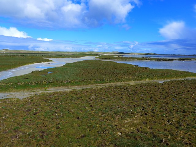
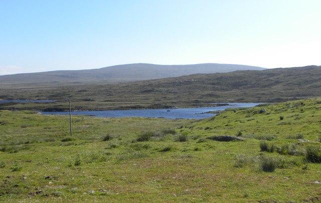
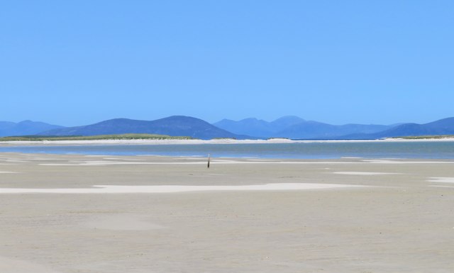
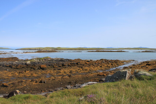
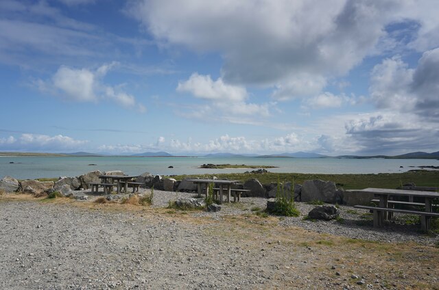
Skibinish is a striking coastal feature located in Inverness-shire, Scotland. It is a headland that juts out into the North Atlantic Ocean, forming a prominent point along the rugged coastline. The headland is characterized by its steep cliffs, providing breathtaking views of the surrounding sea and the nearby islands.

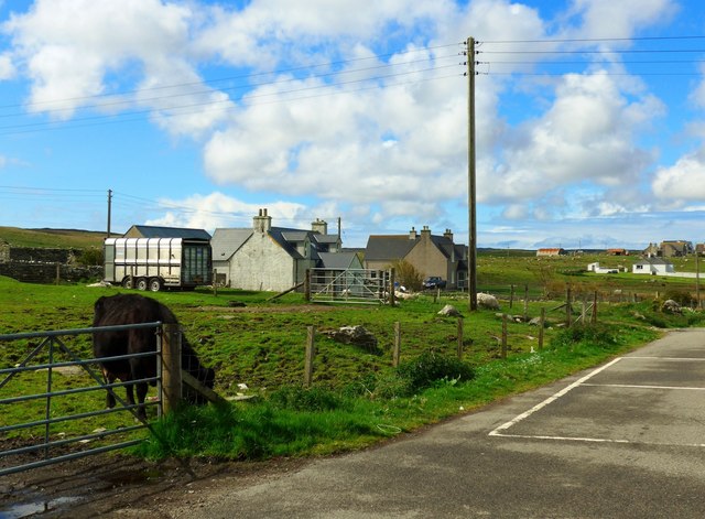
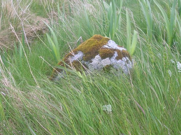
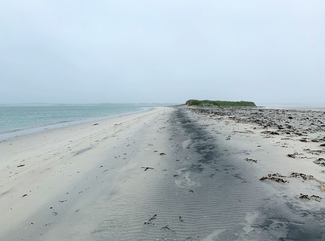
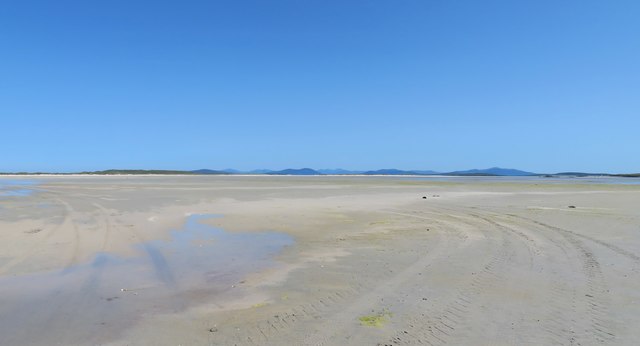
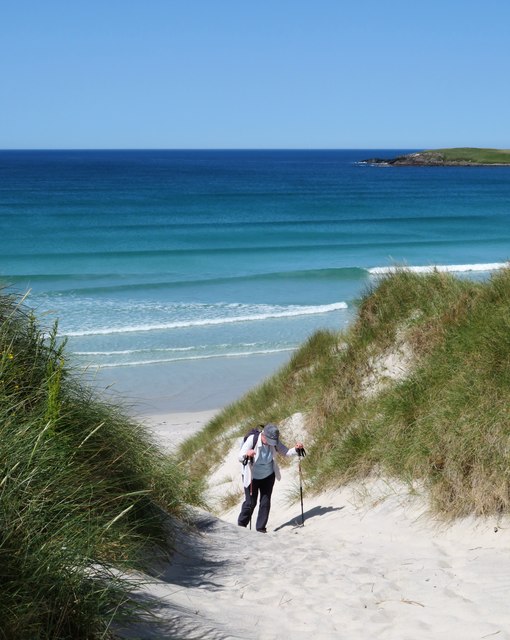
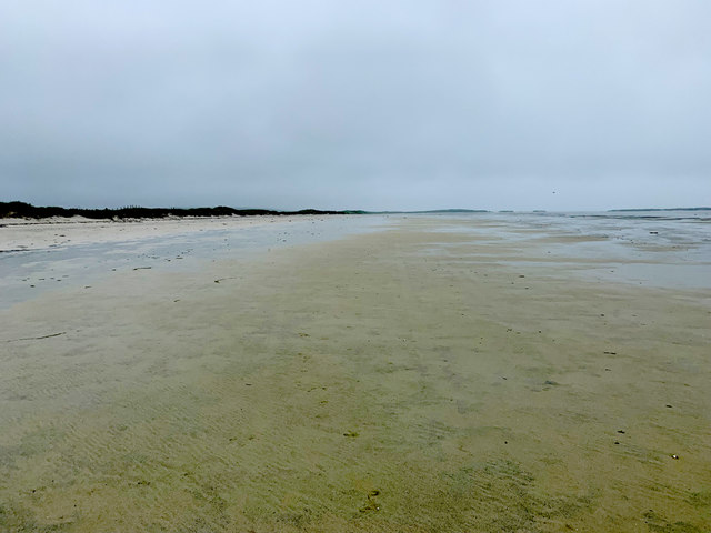
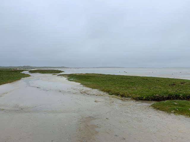
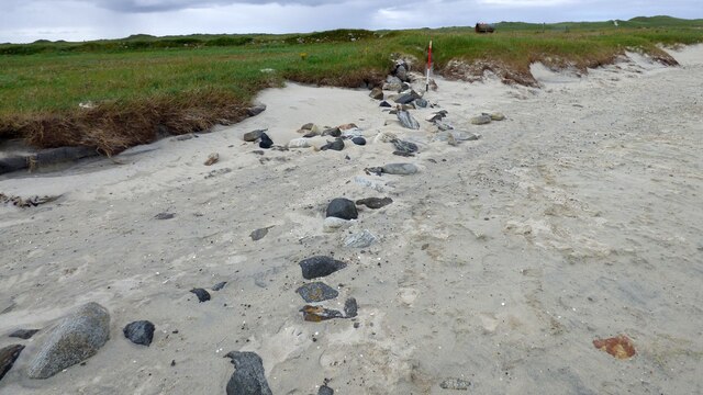
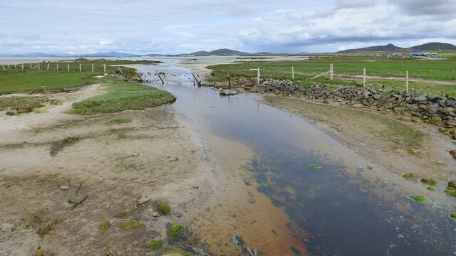
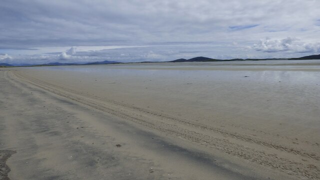
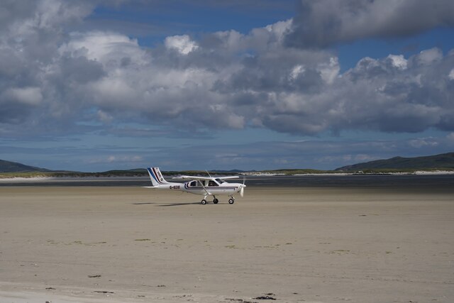
Skibinish is known for its dramatic beauty and serves as a popular destination for nature enthusiasts and hikers. The headland offers a diverse range of coastal habitats, including rocky shores, sandy beaches, and grassy slopes. These habitats support a rich and varied ecosystem, with a wide array of marine and birdlife.

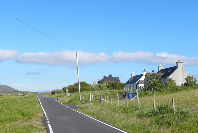
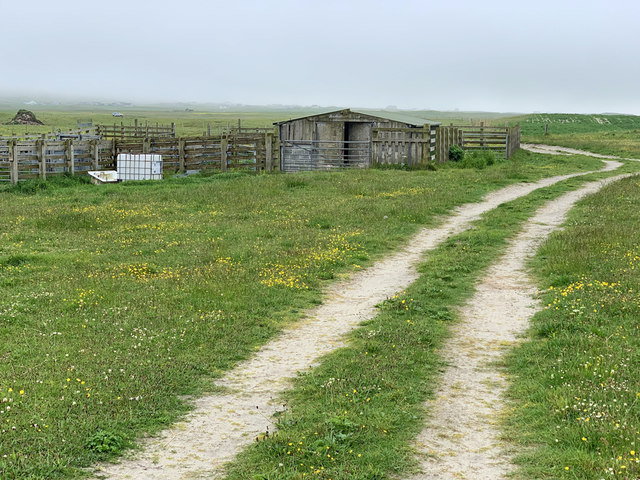
The headland is accessible through a network of well-maintained trails that wind their way along the coastline. These paths provide visitors with the opportunity to explore the stunning scenery and discover the area's natural wonders. The trails also offer panoramic views of the ocean, allowing visitors to witness the power of the crashing waves against the cliffs.

Skibinish is steeped in history and folklore, with ancient ruins and remnants of settlements scattered across its landscape. These archaeological sites provide insights into the area's past, dating back centuries. The headland also holds cultural significance for the local community, with traditional stories and legends passed down through generations.

Overall, Skibinish is a captivating coastal feature that showcases the rugged beauty of Inverness-shire. Its dramatic cliffs, diverse habitats, and rich history make it a must-visit destination for those seeking an authentic Scottish coastal experience.

If you have any feedback on the listing, please let us know in the comments section below.

Skibinish Images

Images are sourced within 2km of 57.655868/-7.3172297 or Grid Reference NF8275. Thanks to Geograph Open Source API. All images are credited.

Flat boggy tidal ground near Grenitote Traigh Ear (East shore or beach), a magnificent stretch of beach, to the right.
Flat boggy tidal ground near Grenitote
Traigh Ear (East shore or beach), a magnificent stretch of beach, to the right.
Solas, North Uist This is a typical scattering of houses in a Hebridean 'township'.
Solas, North Uist
This is a typical scattering of houses in a Hebridean 'township'.
Old Milestone by the A865, Grenitote, North Uist parish Granite slab by the A865, in parish of North Uist (North Uist District), Grenitote, in verge below modern bungalow, North side of road.

Inscription not recorded.

Surveyed

Milestone Society National ID: WI_NUCW16
Old Milestone by the A865, Grenitote, North Uist parish
Granite slab by the A865, in parish of North Uist (North Uist District), Grenitote, in verge below modern bungalow, North side of road. Inscription not recorded. Surveyed Milestone Society National ID: WI_NUCW16
View towards Loch nan Geireann A view across rough grassland and bog towards a corner of this irregularly shaped freshwater loch.
View towards Loch nan Geireann
A view across rough grassland and bog towards a corner of this irregularly shaped freshwater loch.
The A865 at Gearraidh Sgiobanais The main road through a typical scattered community on North Uist.
The A865 at Gearraidh Sgiobanais
The main road through a typical scattered community on North Uist.
Corran Àird a' Mhòrain Near the root of a long sand spit extending from Tràigh Ear (Greinetobht).
Corran Àird a' Mhòrain
Near the root of a long sand spit extending from Tràigh Ear (Greinetobht).
A vast expanse of sand The sands of Traigh Ear at low tide. Taken as a wide angle view which makes the hills of Harris look a long way off.
A vast expanse of sand
The sands of Traigh Ear at low tide. Taken as a wide angle view which makes the hills of Harris look a long way off.
Two steps forward, one back Taking the route up through the dunes can be hard work on a warm and sunny day, but then who's complaining in such a beautiful location?
Two steps forward, one back
Taking the route up through the dunes can be hard work on a warm and sunny day, but then who's complaining in such a beautiful location?
Incoming tide, Traigh Ear Slowly but surely the tide makes its way across the flat sands of Traigh Ear. By the time we reached the small channel 70m before the car park it was a case of paddling across with shoes and socks off.
Incoming tide, Traigh Ear
Slowly but surely the tide makes its way across the flat sands of Traigh Ear. By the time we reached the small channel 70m before the car park it was a case of paddling across with shoes and socks off.
Tràigh Ear, Greinetobht Looking towards Corran Àird a' Mhòrain.
Tràigh Ear, Greinetobht
Looking towards Corran Àird a' Mhòrain.
The south end of Tràigh Ear, Greinetobht The access to a vast area of sand on the east side of Àird a' Mhòrain peninsula.
The south end of Tràigh Ear, Greinetobht
The access to a vast area of sand on the east side of Àird a' Mhòrain peninsula.
Cattle pens and a shed on the machair The sandy ground around here was once intensively cultivated. Today there are but a few patches of potatoes, some rapeseed and cattle grazings.
Cattle pens and a shed on the machair
The sandy ground around here was once intensively cultivated. Today there are but a few patches of potatoes, some rapeseed and cattle grazings.
Old field boundary eroded by the sea
Orasaigh island from Sgiobanais Western part of Orasaigh island taken from the shoreline at Sgiobanais
Orasaigh island from Sgiobanais
Western part of Orasaigh island taken from the shoreline at Sgiobanais
Burn entering the Sea at Claggan Solas
Tràigh Ear A wide expanse of sand.
Tràigh Ear
A wide expanse of sand.
Picnic area at Greinetobht Within small car park.
Picnic area at Greinetobht
Within small car park.
Aircraft landing on Sollas beach Taking part in annual fly-in 2023
Aircraft landing on Sollas beach
Taking part in annual fly-in 2023
Show me another place!

Skibinish is located at Grid Ref: NF8275 (Lat: 57.655868, Lng: -7.3172297)

Unitary Authority: Na h-Eileanan an Iar

Police Authority: Highlands and Islands

What 3 Words

///quail.arose.pronouns. Near Lochmaddy, Na h-Eileanan Siar

Related Wikis

Oronsay, Outer Hebrides

Oronsay (Gaelic Orasaigh) is a tidal island off North Uist in the Outer Hebrides. Lying to the north of Vallaquie Strand, the island has been uninhabited...

Sollas

Sollas (Scottish Gaelic: Solas) is a small crofting township on the northern coast of the island of North Uist, Scotland. == History == === The Battle... ===

Lingeigh, North Uist

Lingeigh is an uninhabited island off North Uist, south east of Boreray. It is separated from North Uist by Traigh Lingeigh. == Footnotes ==

Vallay

Vallay (Scottish Gaelic: Bhàlaigh) is an uninhabited tidal island in the Scottish Outer Hebrides. It can be reached from North Uist by a long beach at...

Nearby Amenities

Located within 500m of 57.655868,-7.3172297
The data included in this document is from www.openstreetmap.org. The data is made available under ODbL.

Have you been to Skibinish?

Leave your review of Skibinish below (or comments, questions and feedback).