Tom Groove Head
Landscape Feature in Lancashire Burnley
England
Tom Groove Head
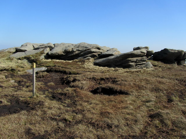
Tom Groove Head is a prominent landscape feature located in Lancashire, England. It is situated near the village of Tom Groove, which is nestled in the picturesque countryside of the region. This unique formation is a result of geological processes that have shaped the land over millions of years.
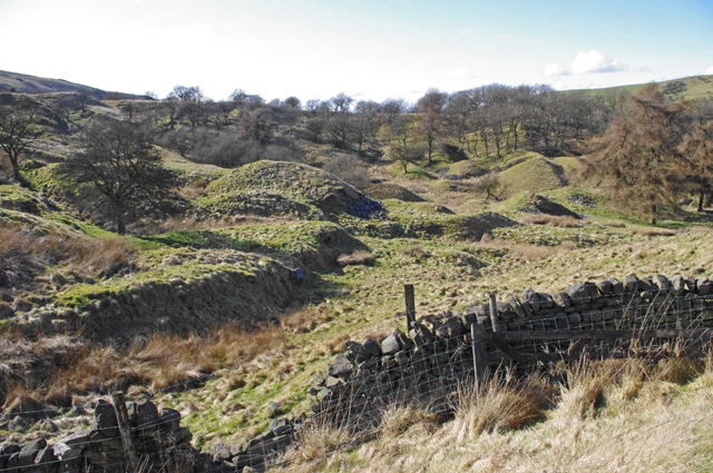
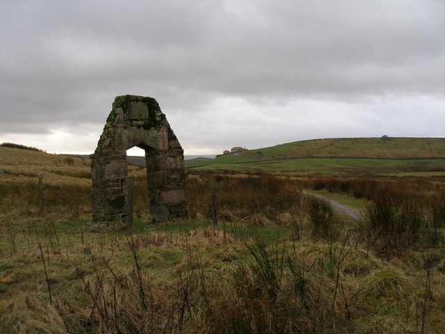
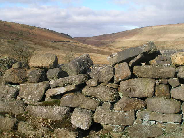
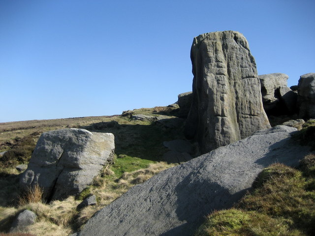
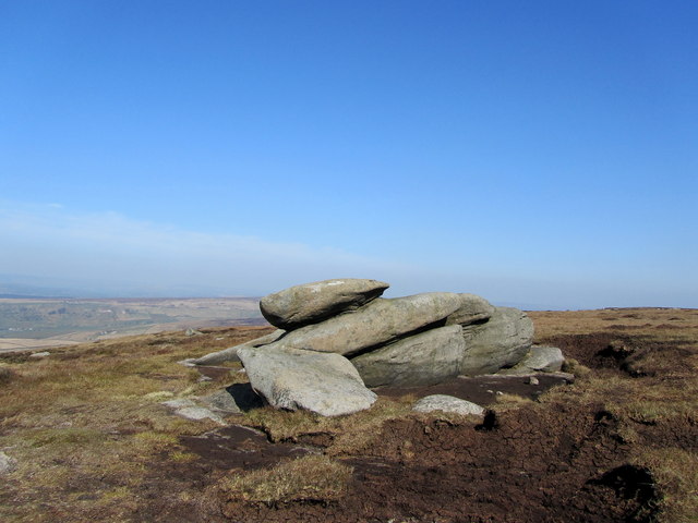
Tom Groove Head is characterized by its impressive rock formation, which stands tall and proud amidst the rolling hills of Lancashire. The rocks that make up this feature are predominantly sandstone, giving it a distinct reddish hue. Over time, erosion and weathering have sculpted the rocks into fascinating shapes, creating a visually captivating sight.
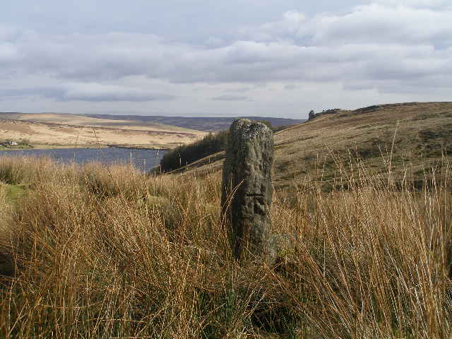
The head itself is a massive outcrop that juts out from the surrounding landscape. It is believed to have formed during the last ice age, as glaciers carved out the valley that now surrounds it. The exposed rock face showcases intricate layers, revealing the geological history of the area.
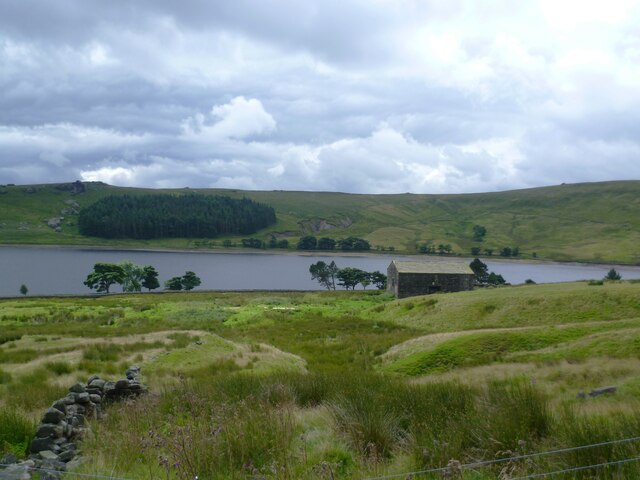
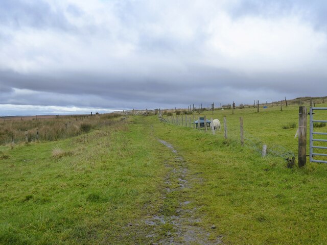
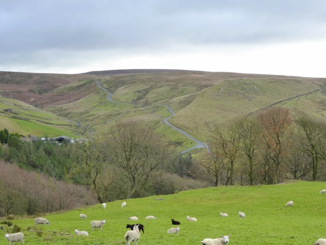
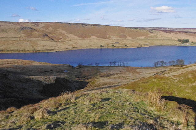
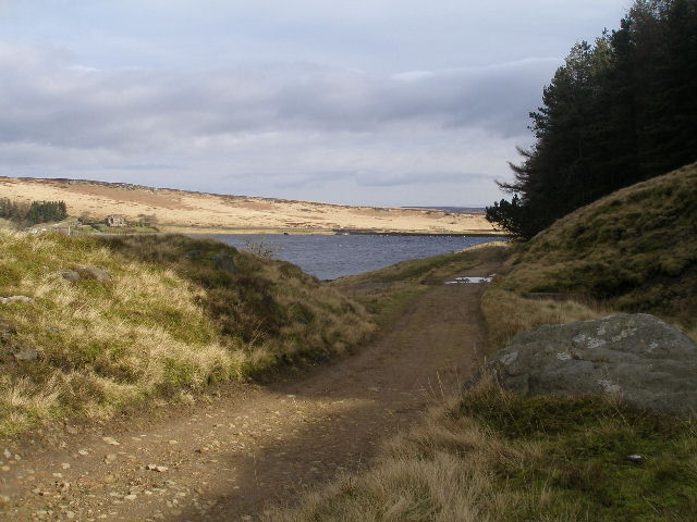
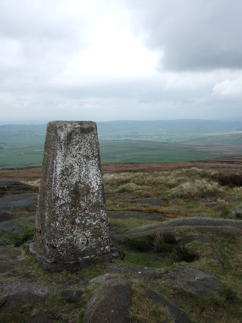
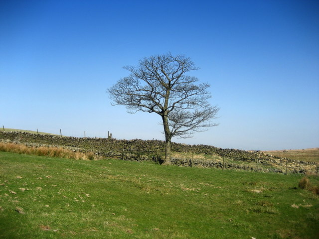
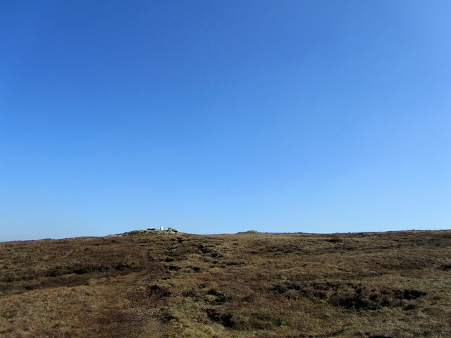
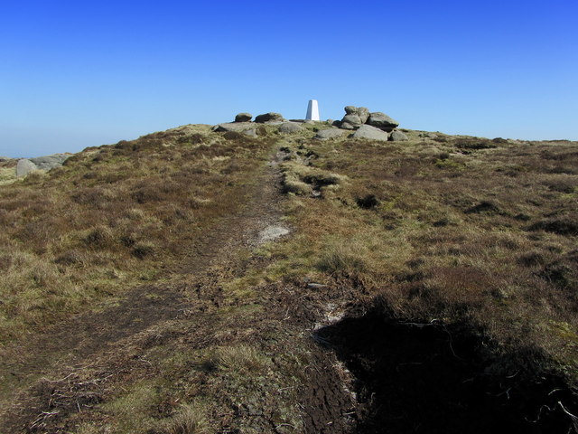
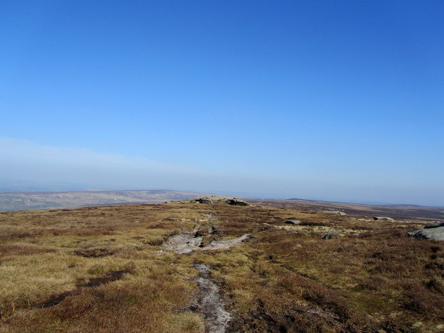
The site has become a popular attraction for nature enthusiasts and hikers, who are drawn to its beauty and tranquility. It offers stunning panoramic views of the surrounding countryside, with lush green fields stretching out as far as the eye can see. Visitors can explore the area on foot, following well-marked trails that wind their way around Tom Groove Head.
In addition to its natural beauty, Tom Groove Head also holds historical significance. It is said to have been a gathering place for local communities in ancient times, with evidence of human activity dating back thousands of years. Archaeological finds include tools and artifacts, providing insights into the lives of early inhabitants.
Overall, Tom Groove Head is a captivating landscape feature that combines natural grandeur with historical intrigue. Its unique rock formation and stunning surroundings make it a must-visit destination for those exploring the beauty of Lancashire.
If you have any feedback on the listing, please let us know in the comments section below.
Tom Groove Head Images
Images are sourced within 2km of 53.805189/-2.1183861 or Grid Reference SD9234. Thanks to Geograph Open Source API. All images are credited.
Tom Groove Head is located at Grid Ref: SD9234 (Lat: 53.805189, Lng: -2.1183861)
Administrative County: Lancashire
District: Burnley
Police Authority: Lancashire
What 3 Words
///earplugs.beside.rainy. Near Nelson, Lancashire
Nearby Locations
Related Wikis

Boulsworth Hill
Boulsworth Hill is a large expanse of moorland, the highest point of the South Pennines of south-eastern Lancashire, England, separating the Borough of...

Trawden Brook
Trawden Brook is a minor river in Lancashire, England. It is 3.48 miles (5.6 km) long and has a catchment area of 4.40 square miles (11.4 km2).Rising on...

Trawden
Trawden is a village in the Trawden Forest parish of Pendle, at the foot of Boulsworth Hill, in Lancashire, England. The village co-operatively owns and...

Trawden Forest
Trawden Forest is a civil parish in the Pendle district of Lancashire, England. It has a population of 2,765, and contains the village of Trawden (formerly...

Walshaw Dean Reservoirs
Walshaw Dean Reservoirs are three reservoirs situated above Hebden Bridge, West Yorkshire, England. They are between Hebden Bridge and Top Withins, a ruined...

Briercliffe
Briercliffe (historically Briercliffe-with-Extwistle) is a civil parish in the borough of Burnley, in Lancashire, England. It is situated 3 miles (4.8...

Worsthorne-with-Hurstwood
Worsthorne-with-Hurstwood is a civil parish in the Borough of Burnley, in Lancashire, England. Situated on the eastern outskirts of Burnley, in 2011 it...

Blake Dean Railway
The Blake Dean Railway was an approximately 5.5 miles (9 km) long 3 ft (914 mm) gauge narrow gauge railway on the edge of Hardcastle Crags Valley in West...
Related Videos

Sunrise hike & 1st images from Fujifilm X-T1 #photography #hiking #fujifilm
Sometimes, just a simple sunrise hike is just what the doctor ordered ! A local hill that stands above where I live, known as ...

Lad Law
It was hot, hot, HOT! today. Todays womble was a great trek up on to Lad Law on the edge of Bronte country in west ...

Mr Red Mavic air 🇬🇧 Terrain" Terrain" Pull up ! pull up ! #drone #dji #life #travel
This is a flight taken yesterday.

An afternoon hike up to Dove Stones in Calderdale/Thursden Valley.
An afternoon spent with my 2 boys, walking up to Dove Stones . This is in Calderdale, within Thursden Valley & next to Boulsworth ...
Have you been to Tom Groove Head?
Leave your review of Tom Groove Head below (or comments, questions and feedback).