Crockett Head
Landscape Feature in Westmorland South Lakeland
England
Crockett Head
Crockett Head is a prominent and picturesque landscape feature located in the county of Westmorland, England. Situated in the heart of the Lake District National Park, this stunning landmark offers breathtaking views of the surrounding natural beauty.
Rising to an elevation of approximately 1,250 feet (381 meters), Crockett Head is characterized by its distinctive shape and rugged terrain. The landscape here is predominantly rocky, with numerous outcrops and crags adding to the overall charm of the area. The head itself is a steep hill, providing hikers and nature enthusiasts with an exhilarating challenge to conquer.
From the summit of Crockett Head, visitors are rewarded with panoramic vistas that showcase the diverse landscape of Westmorland. To the north, one can admire the picturesque Ullswater, one of the most stunning lakes in the Lake District. To the south, the majestic fells and valleys of the region unfold, with their lush greenery and tranquil ambiance.
Crockett Head is also renowned for its rich biodiversity. The area is home to a variety of flora and fauna, including heather, bilberry, and mosses, as well as a range of bird species such as ravens and peregrine falcons. This makes it a popular destination for nature lovers and birdwatchers alike.
In addition to its natural beauty, Crockett Head holds historical significance. The region is dotted with remnants of ancient settlements, stone circles, and burial mounds, providing insight into the area's human history.
Overall, Crockett Head is a captivating landscape feature that combines natural splendor, challenging terrain, and historical intrigue. It offers an unforgettable experience for those seeking an escape into the tranquility and beauty of Westmorland's countryside.
If you have any feedback on the listing, please let us know in the comments section below.
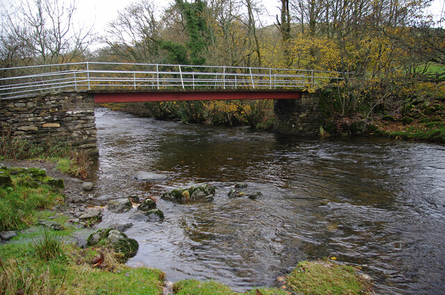
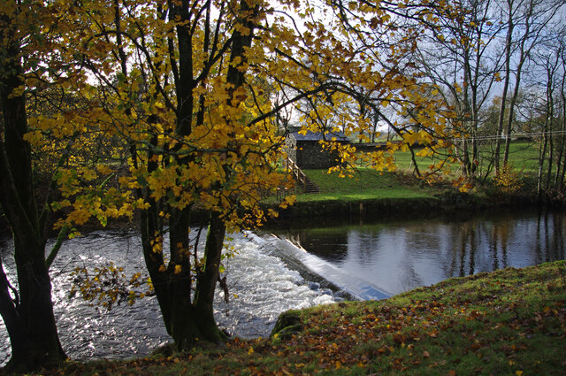
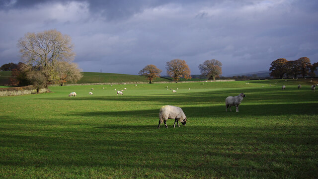
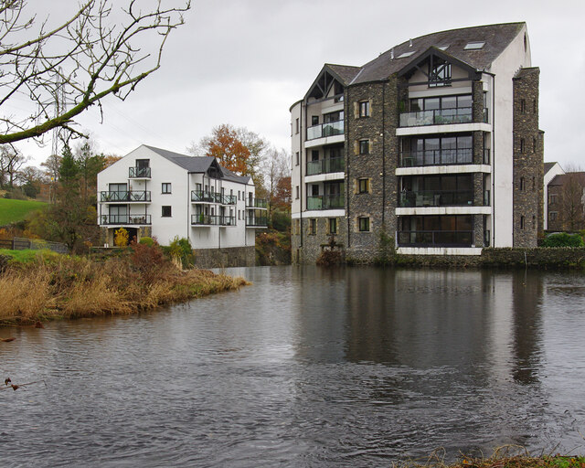
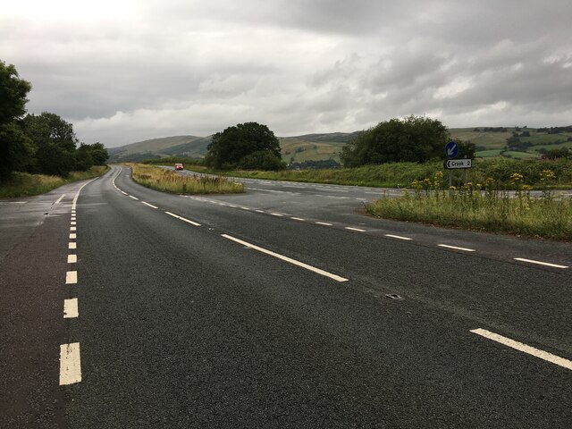
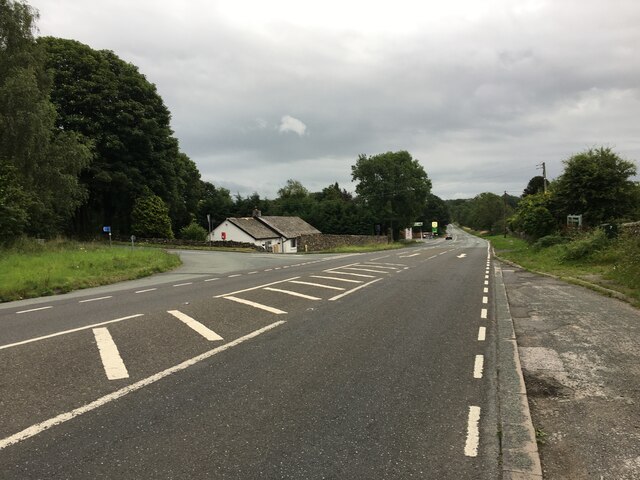
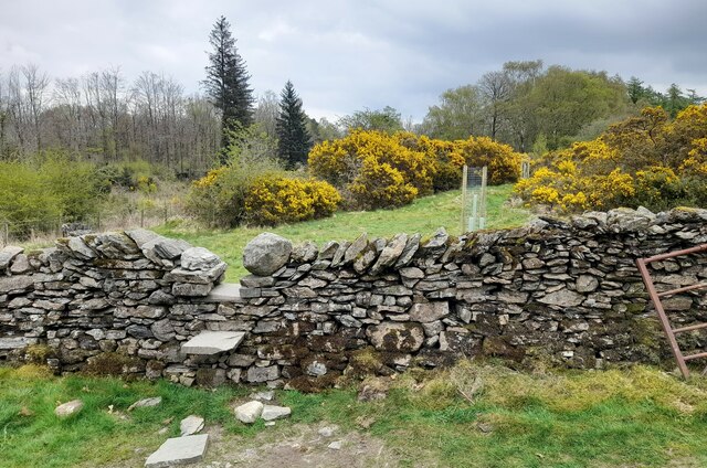
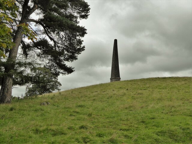
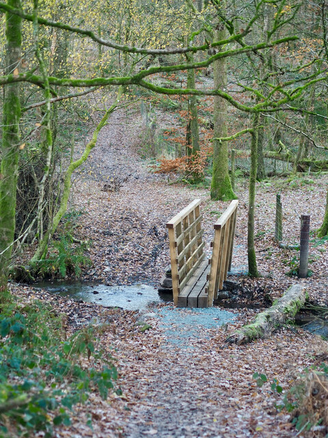
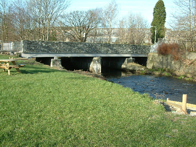
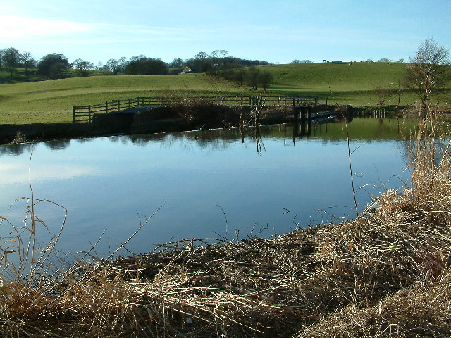
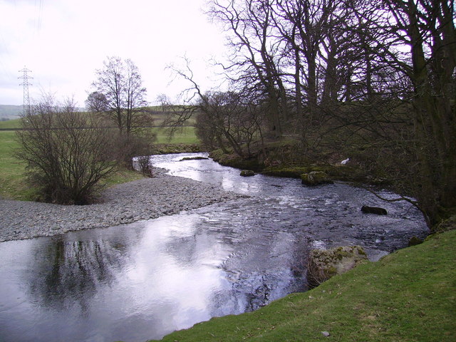
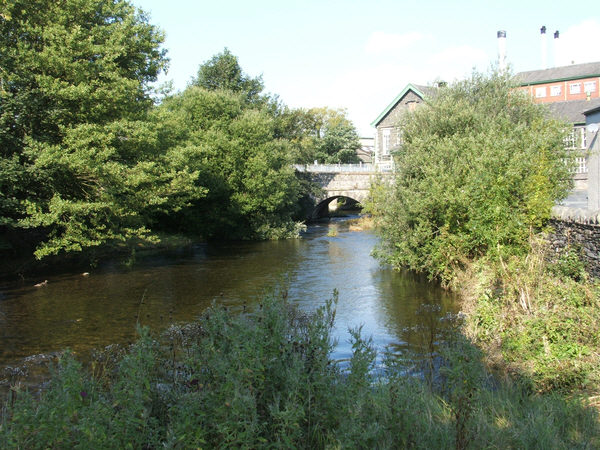
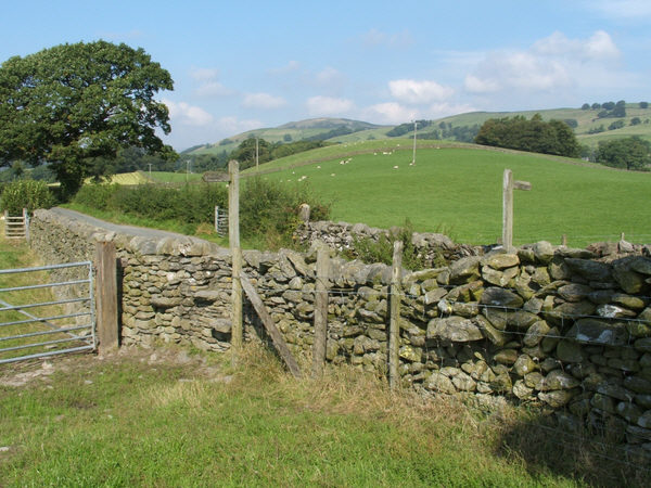
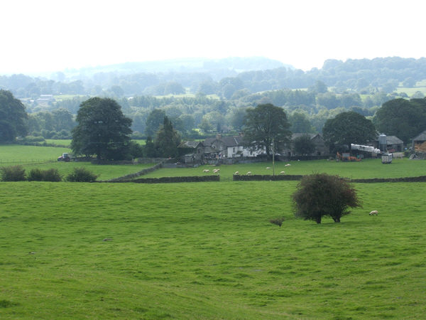
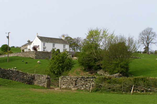
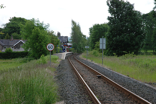
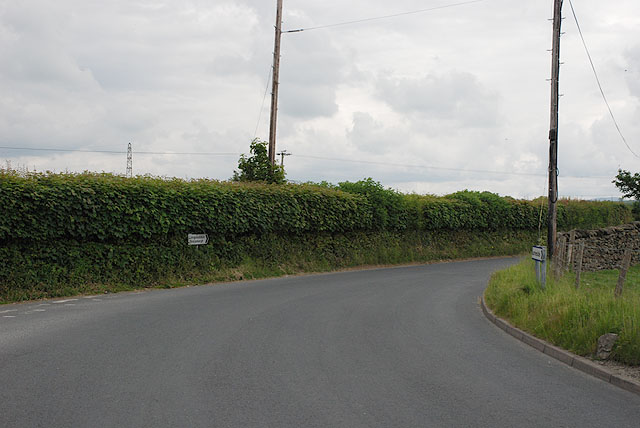
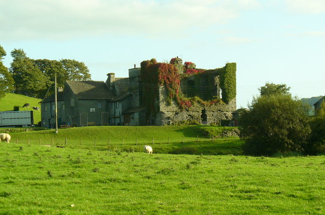
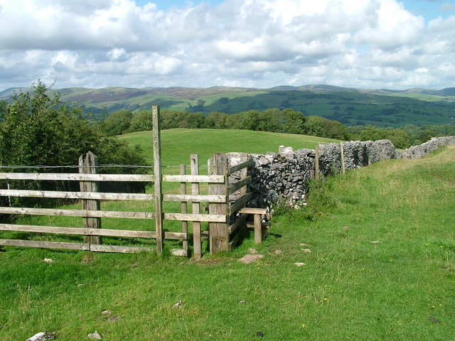
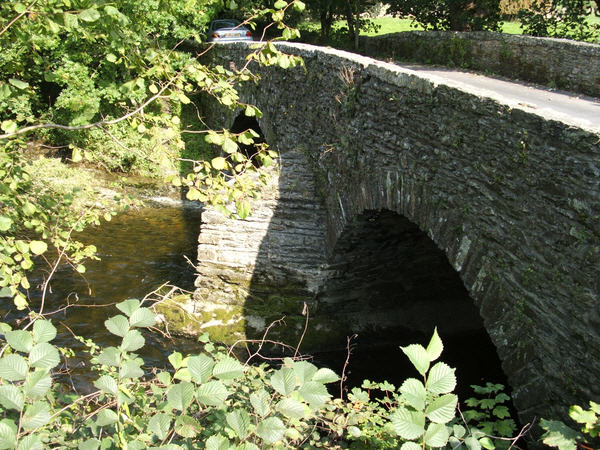
Crockett Head Images
Images are sourced within 2km of 54.359741/-2.7752293 or Grid Reference SD4996. Thanks to Geograph Open Source API. All images are credited.
Crockett Head is located at Grid Ref: SD4996 (Lat: 54.359741, Lng: -2.7752293)
Administrative County: Cumbria
District: South Lakeland
Police Authority: Cumbria
What 3 Words
///reshape.sailing.lurching. Near Burneside, Cumbria
Nearby Locations
Related Wikis
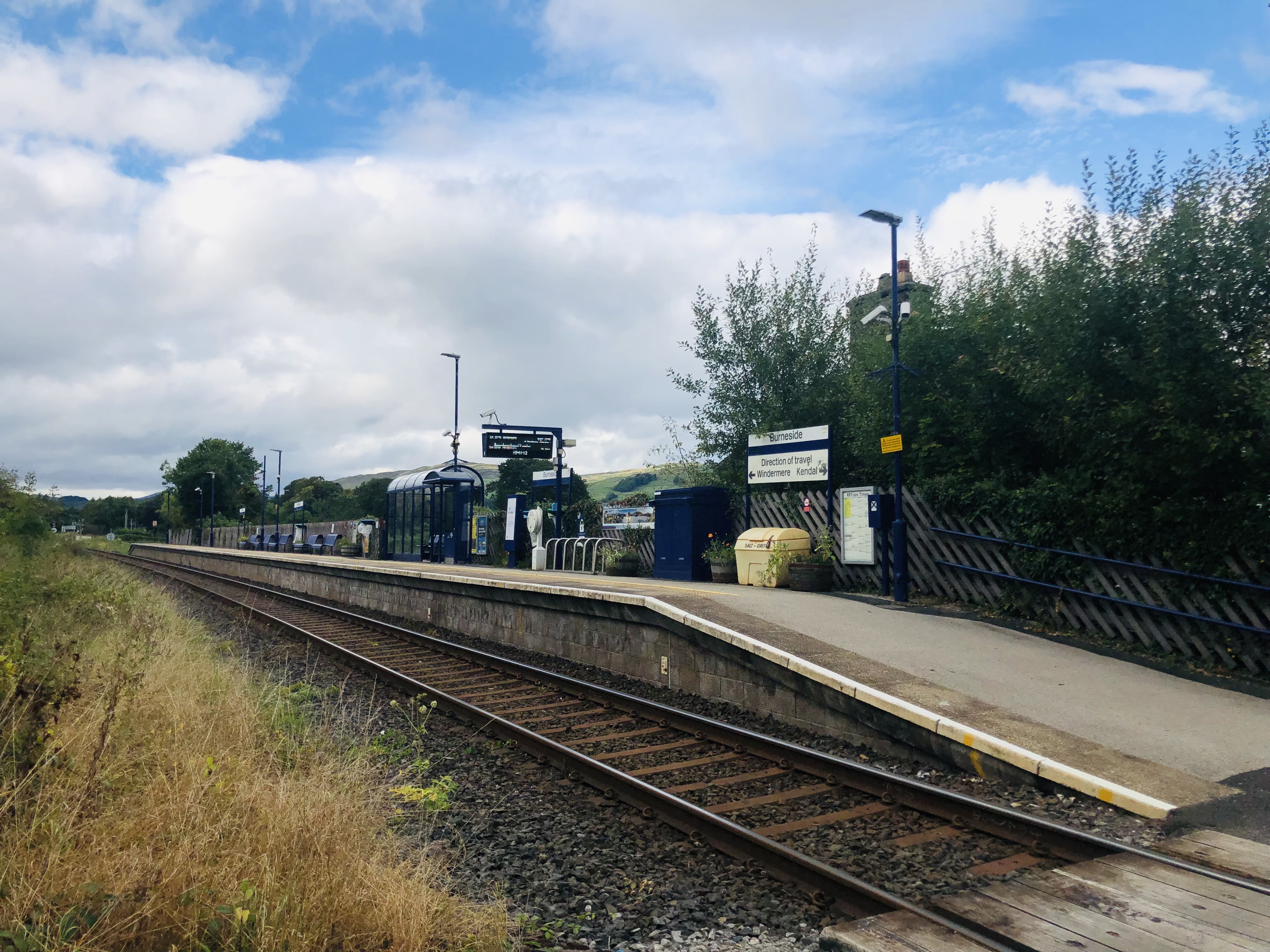
Burneside railway station
Burneside railway station is in Burneside, Cumbria, England. The station is situated on the Windermere Branch Line from Oxenholme to Windermere. To the...
Burneside
Burneside () is a small village in South Lakeland in Cumbria, England. It is located to the north of Kendal and to the south east of Staveley, on the River...

Cowan Head
Cowan Head is a hamlet in Cumbria, England. It is on the River Kent upstream from Burneside. == See also == Burneside Paper Mills Tramway == References ==
Strickland Ketel
Strickland Ketel (sometimes Strickland Kettle) is a civil parish in South Lakeland, Cumbria, England. In the 2001 census the parish had a population of...
Bowston
Bowston is a village in Cumbria, England, situated about 4 miles (6.4 km) north of Kendal, beside the River Kent. It has an old, probably 17th century...
Burneside Hall
Burneside Hall is a converted medieval pele tower in Burneside, Cumbria, England. == History == Documentary records for Burneside Hall extend to 1290,...

Smooth Lake District
Smooth Lake District is an Independent Local Radio station for the Lakes, owned and operated by Global and part of the Smooth network. == Overview == Originally...

Strickland Roger
Strickland Roger is a civil parish in South Lakeland, Cumbria, England. In the 2001 census the parish had a population of 544, decreasing at the 2011 census...
Nearby Amenities
Located within 500m of 54.359741,-2.7752293Have you been to Crockett Head?
Leave your review of Crockett Head below (or comments, questions and feedback).