Bowston
Settlement in Westmorland South Lakeland
England
Bowston
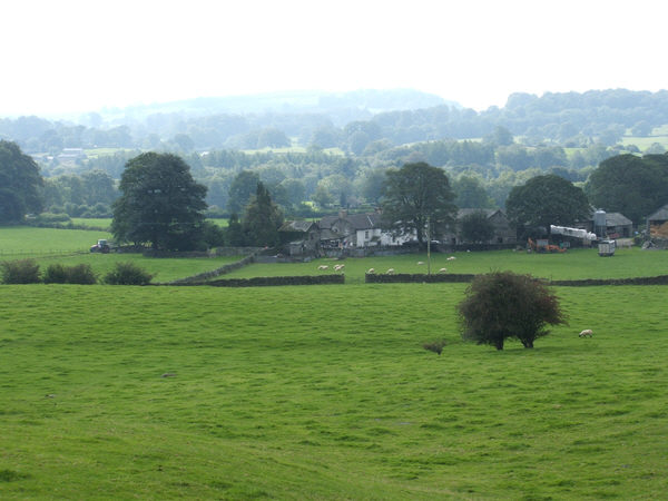
Bowston is a small village located in the county of Westmorland, in the North West of England. Situated in the Lake District National Park, Bowston is surrounded by picturesque landscapes and enjoys a tranquil setting. It is positioned approximately 2 miles north of Kendal, one of the major towns in the region.
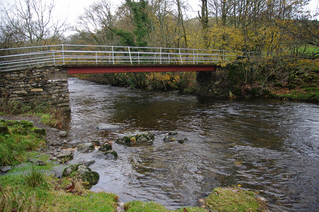
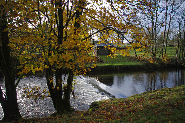
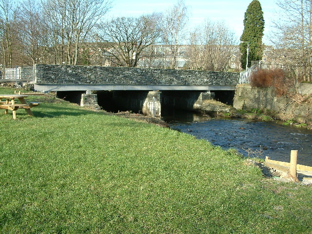
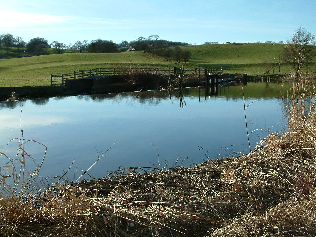
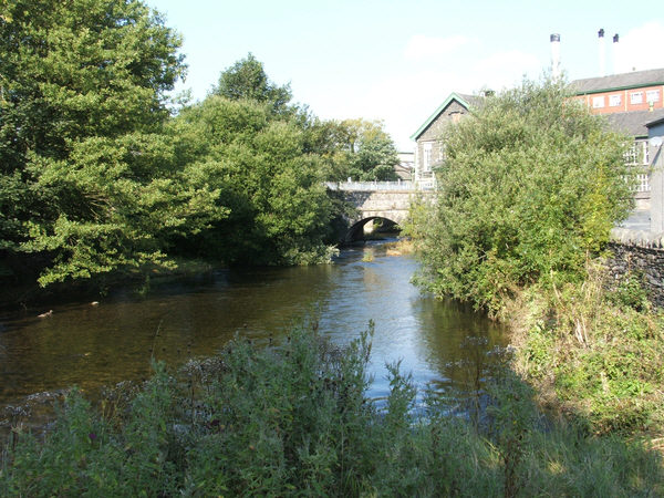
The village itself is home to a relatively small population, with a close-knit community that values its rural heritage. Bowston is characterized by charming stone-built houses, many of which date back to the 18th and 19th centuries, adding to its historical appeal. The village is nestled alongside the River Kent, which flows gracefully through the area, providing scenic views and opportunities for leisurely walks.
Despite its modest size, Bowston offers a range of amenities for its residents and visitors. The village boasts a local pub, which serves as a popular gathering spot, offering a cozy atmosphere and traditional British cuisine. Additionally, there is a small convenience store, providing essential goods for the community.
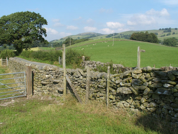
Bowston's prime location within the Lake District National Park makes it an ideal base for outdoor enthusiasts. The village is surrounded by numerous hiking trails, offering breathtaking views of the surrounding fells and valleys. The nearby River Kent also provides opportunities for fishing and boating activities.
Overall, Bowston, with its idyllic setting and rich history, offers a peaceful retreat for those seeking a taste of rural life within the beautiful landscape of Westmorland.
If you have any feedback on the listing, please let us know in the comments section below.
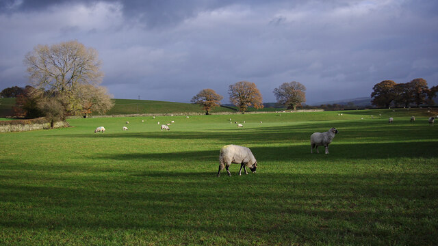
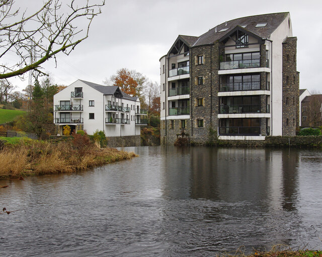
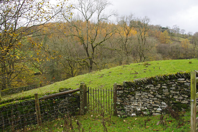
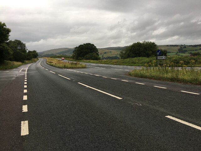
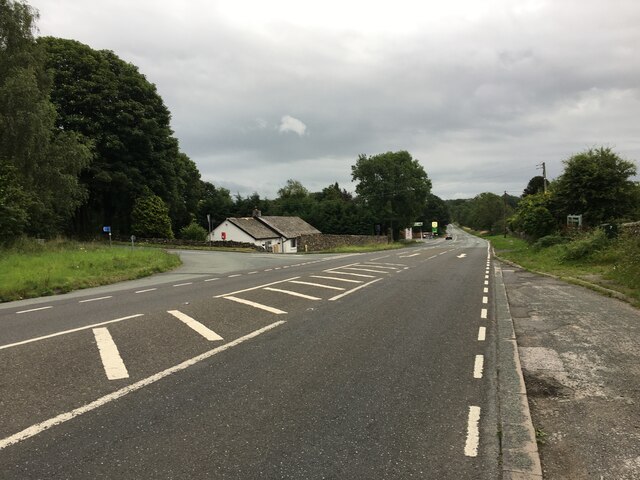
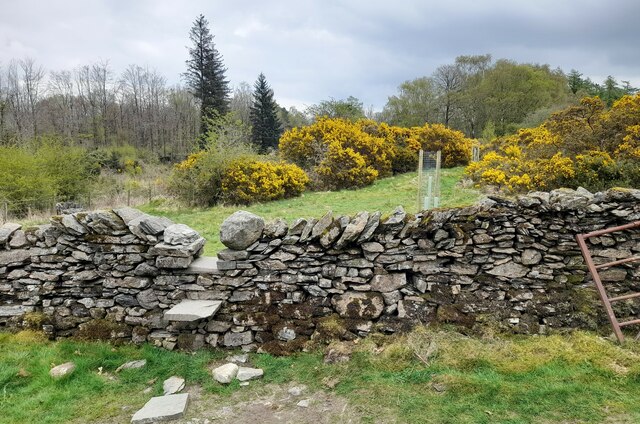
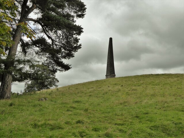
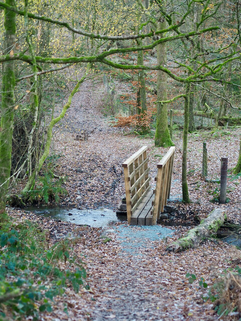
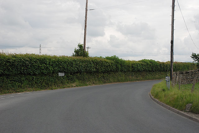
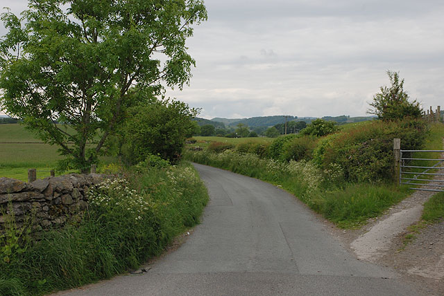
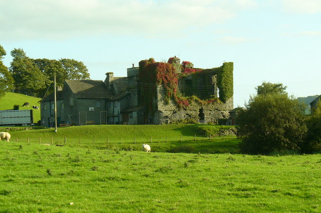
Bowston Images
Images are sourced within 2km of 54.363326/-2.77716 or Grid Reference SD4996. Thanks to Geograph Open Source API. All images are credited.
Bowston is located at Grid Ref: SD4996 (Lat: 54.363326, Lng: -2.77716)
Administrative County: Cumbria
District: South Lakeland
Police Authority: Cumbria
What 3 Words
///drew.jumbled.gossiping. Near Burneside, Cumbria
Nearby Locations
Related Wikis

Cowan Head
Cowan Head is a hamlet in Cumbria, England. It is on the River Kent upstream from Burneside. == See also == Burneside Paper Mills Tramway == References ==
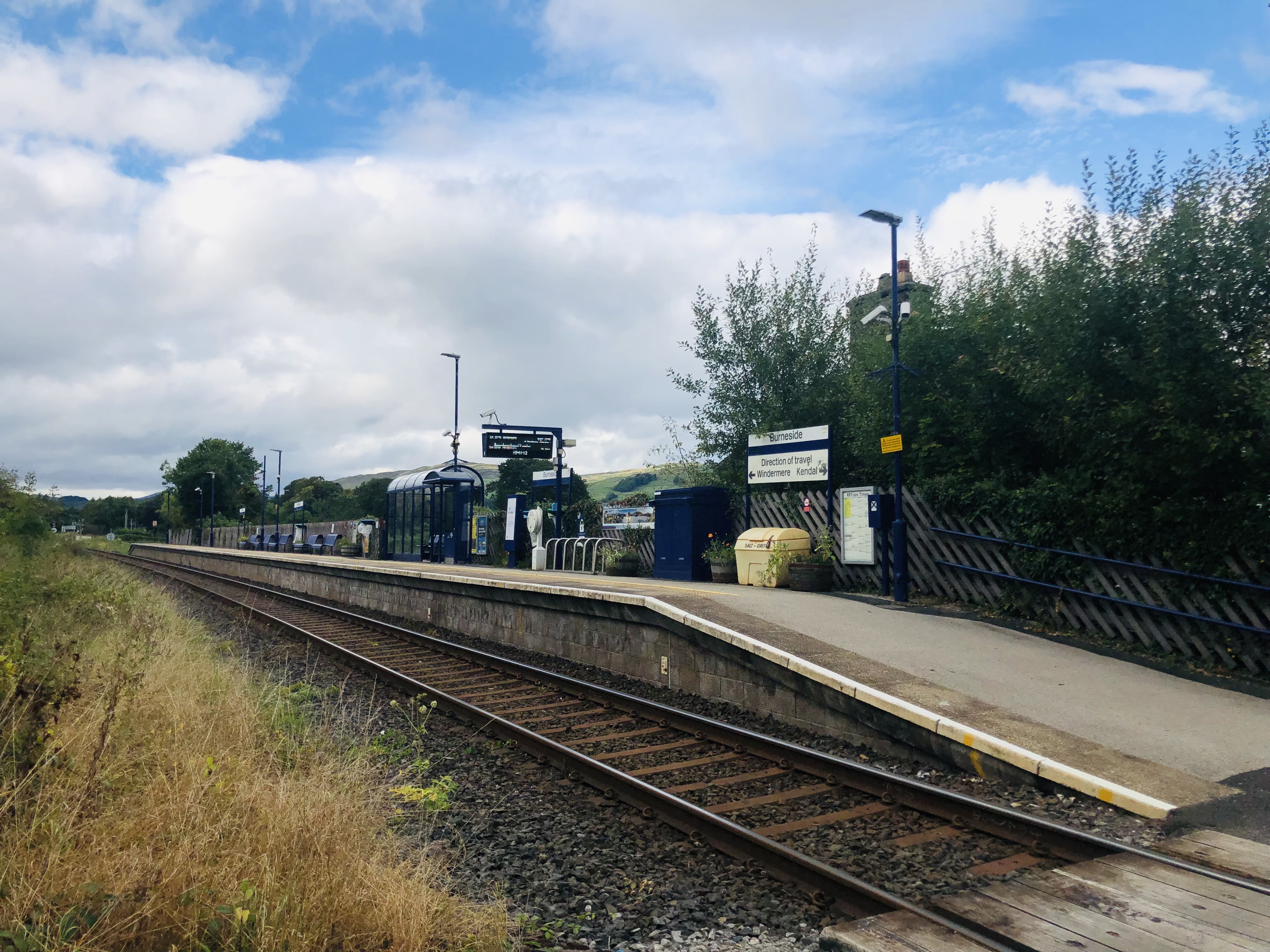
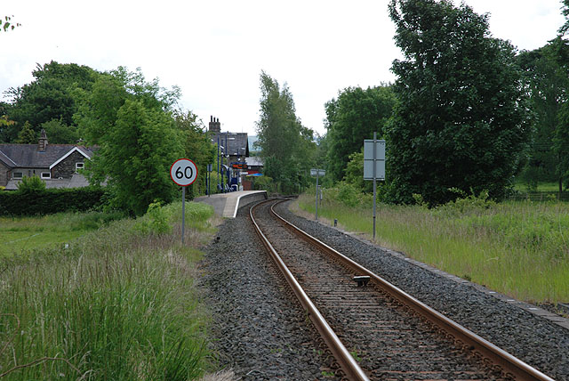
Burneside railway station
Burneside railway station is in Burneside, Cumbria, England. The station is situated on the Windermere Branch Line from Oxenholme to Windermere. To the...
Burneside
Burneside () is a small village in South Lakeland in Cumbria, England. It is located to the north of Kendal and to the south east of Staveley, on the River...

Strickland Roger
Strickland Roger is a civil parish in South Lakeland, Cumbria, England. In the 2001 census the parish had a population of 544, decreasing at the 2011 census...
Nearby Amenities
Located within 500m of 54.363326,-2.77716Have you been to Bowston?
Leave your review of Bowston below (or comments, questions and feedback).