Aira Point
Coastal Feature, Headland, Point in Cumberland Eden
England
Aira Point
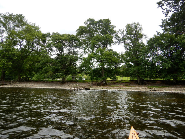
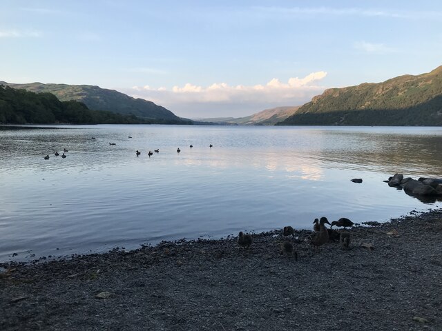
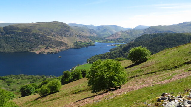
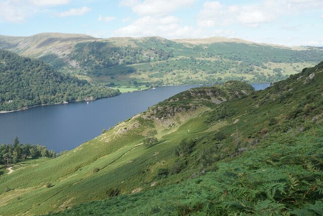
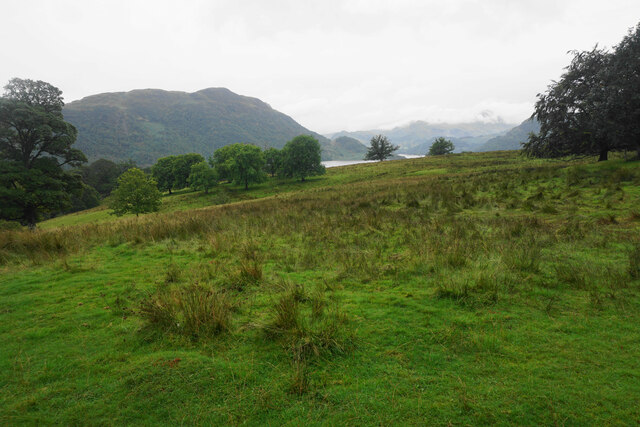
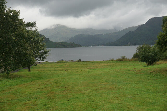
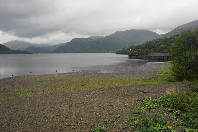
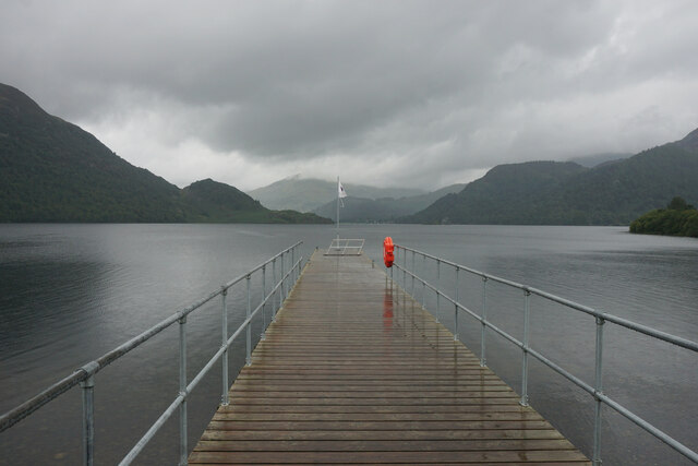
Aira Point is a prominent coastal feature located in the county of Cumberland in northwest England. It is a picturesque headland jutting out into the Irish Sea, offering breathtaking views and a rich natural environment for visitors to enjoy. The point is named after the nearby village of Aira, which is situated just a short distance inland.
The headland is characterized by its rugged cliffs, which rise dramatically from the sea, reaching heights of up to 50 meters. These cliffs are composed mainly of sedimentary rocks, including sandstone and limestone, and have been shaped by centuries of erosion from the crashing waves. As a result, Aira Point is home to several fascinating geological formations, such as sea stacks and caves.
The area around Aira Point is a haven for wildlife enthusiasts, as it provides habitat for a diverse range of species. The cliffs are home to nesting colonies of seabirds, including kittiwakes, fulmars, and guillemots. Visitors may also spot seals basking on the rocks below or dolphins swimming offshore.
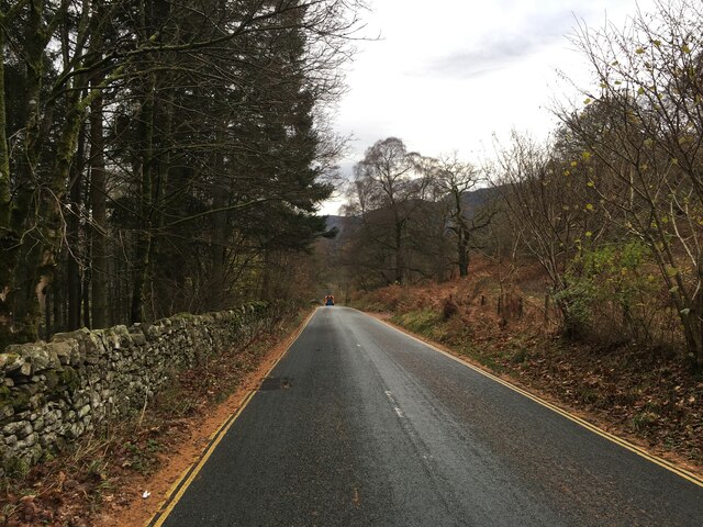
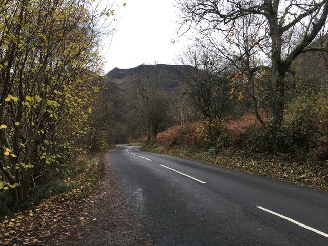
Aira Point is easily accessible to visitors, with a well-maintained footpath leading from the village of Aira to the headland. This path offers stunning views of the surrounding coastline and is a popular spot for walkers and hikers. Additionally, there is a small car park near the village, providing convenient parking for those arriving by car.
Overall, Aira Point is a magnificent coastal feature that showcases the natural beauty of the Cumberland region. With its impressive cliffs, diverse wildlife, and stunning views, it is a must-visit destination for nature lovers and outdoor enthusiasts alike.
If you have any feedback on the listing, please let us know in the comments section below.
Aira Point Images
Images are sourced within 2km of 54.569203/-2.9252134 or Grid Reference NY4019. Thanks to Geograph Open Source API. All images are credited.


Aira Point is located at Grid Ref: NY4019 (Lat: 54.569203, Lng: -2.9252134)
Administrative County: Cumbria
District: Eden
Police Authority: Cumbria
What 3 Words
///overused.fillers.repair. Near Keswick, Cumbria
Nearby Locations
Related Wikis

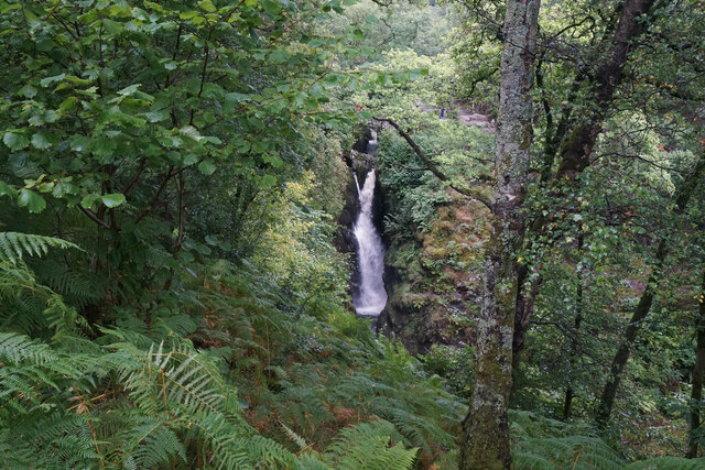
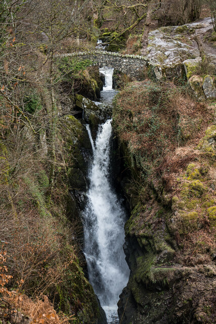
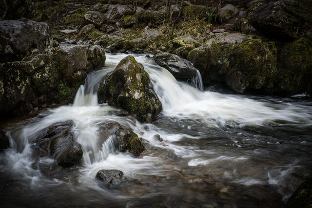
Aira Force
Aira Force is a waterfall in the English Lake District, in the civil parish of Matterdale and the county of Cumbria. The site of the waterfall is owned...
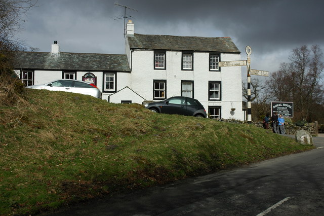
Dockray, Eden
Dockray (traditionally Dockwray) is a village in the civil parish of Matterdale, in the Eden district, in the county of Cumbria, England. In the 2011 census...

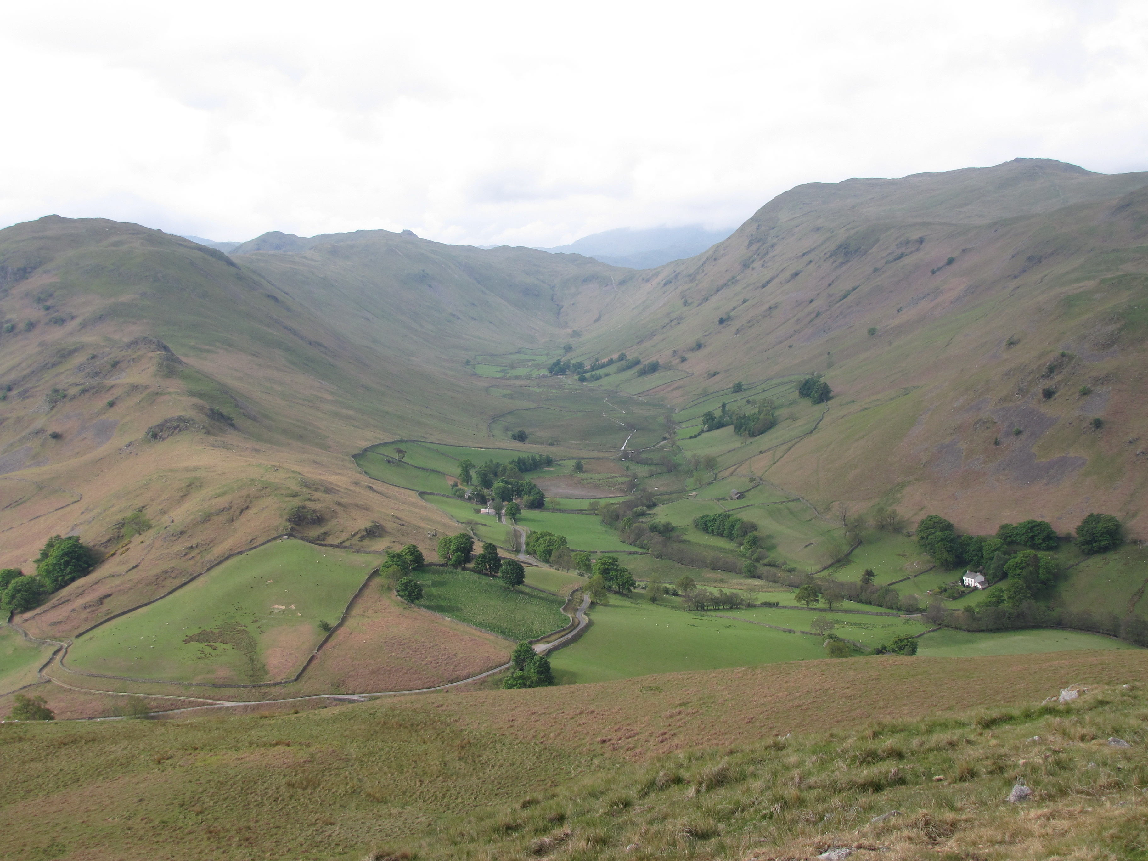
Gowbarrow Fell
Gowbarrow Fell (Windy hill) is a low fell in the English Lake District. It is an outlier of the Eastern Fells, standing to the north of Ullswater, bounded...
Boredale
Boredale sometimes known as Boardale, is a valley within Lake District National Park, in Cumbria, England. The valley is close to the eastern shore of...

Place Fell
Place Fell is a hill in the English Lake District. It stands at the corner of the upper and middle reaches of Ullswater, with steep western flanks overlooking...

Ulcat Row
Ulcat Row (also Ulcatrow) is a village in the civil parish of Matterdale, in the Eden district, in the county of Cumbria, England. In the 2011 census,...
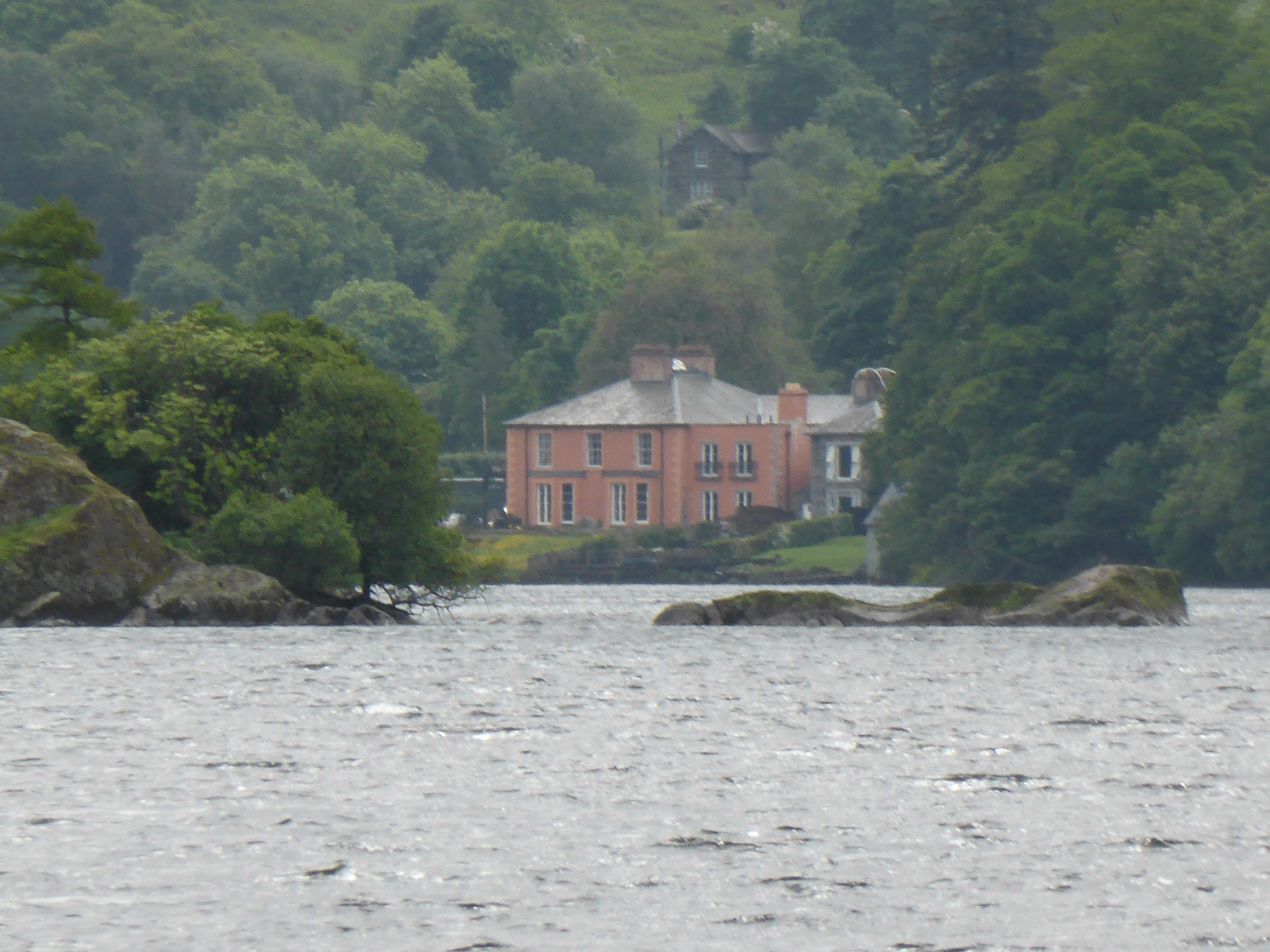
Glenridding House
Glenridding House is a Regency era building in Glenridding on Ullswater, constructed between 1807 and 1814. It was a private summer villa until about 1860...

Glenridding Dodd
Glenridding Dodd (the rounded hill above Glenridding) is a small fell in the English Lake District, at the end of a ridge descending from the Helvellyn...
Nearby Amenities
Located within 500m of 54.569203,-2.9252134Have you been to Aira Point?
Leave your review of Aira Point below (or comments, questions and feedback).