Low Birk Fell
Downs, Moorland in Westmorland Eden
England
Low Birk Fell

Low Birk Fell is a captivating area located in Westmorland, England. Known for its stunning natural beauty, it is situated in the Downs region, encompassing vast stretches of moorland. Spanning over an area of approximately 200 hectares, Low Birk Fell offers a tranquil escape for outdoor enthusiasts and nature lovers alike.
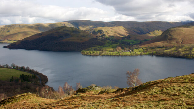
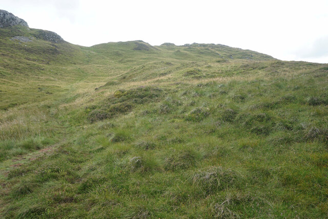
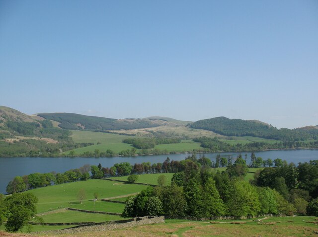
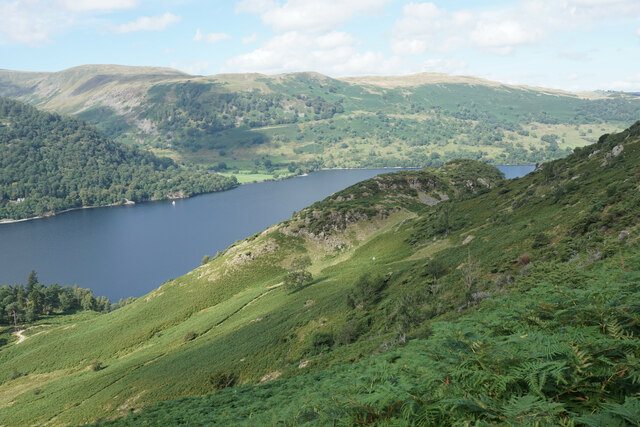
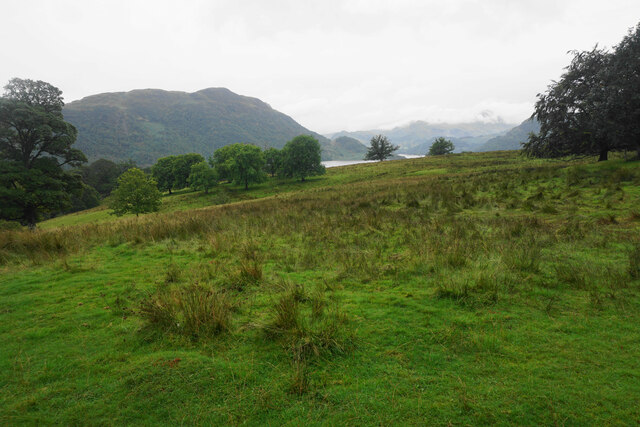
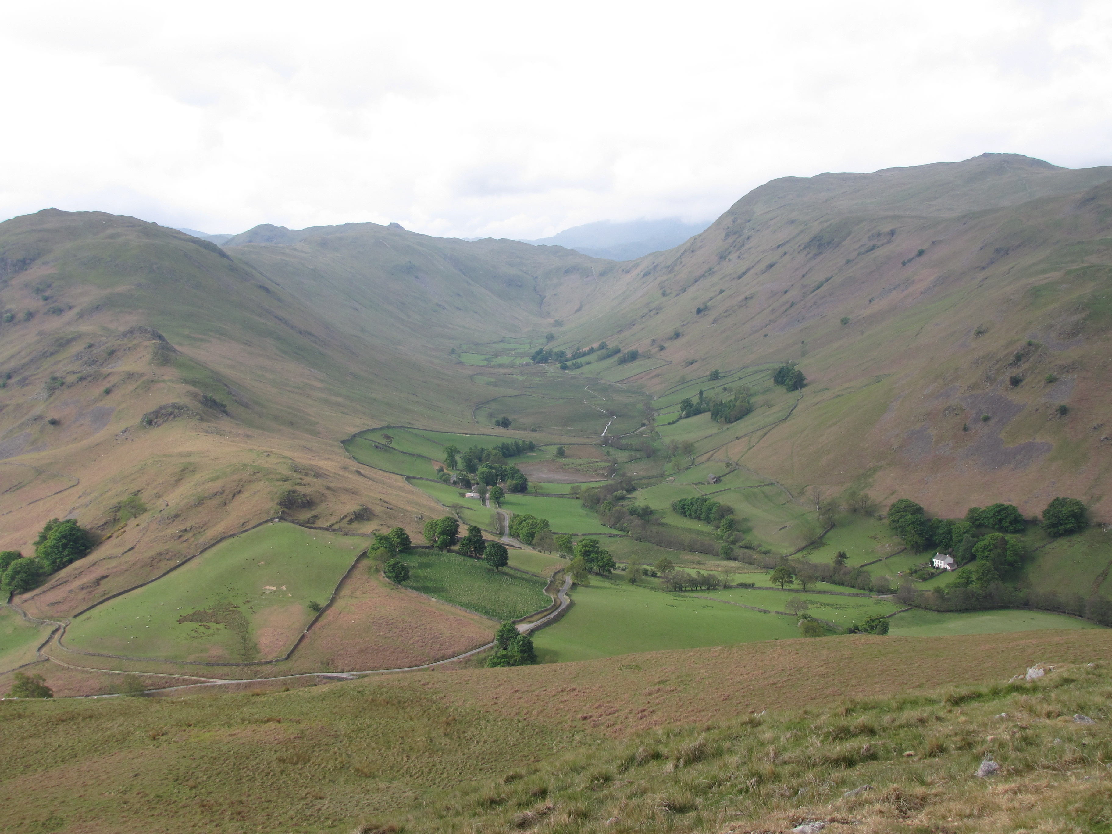
The landscape of Low Birk Fell is characterized by rolling hills, heather-covered moorland, and scattered stands of native trees. The area boasts breathtaking panoramic views, with the nearby Haweswater Reservoir visible in the distance. The unique combination of open spaces and rugged terrain makes it an ideal destination for walking, hiking, and birdwatching.
The moorland of Low Birk Fell is home to a diverse range of flora and fauna. Visitors can spot a variety of bird species, including golden plovers, curlews, and red grouse. The heather-clad hills provide a vibrant backdrop during the summer months when the purple flowers are in full bloom.
History enthusiasts will find interest in the area's past, as Low Birk Fell was once utilized for grazing sheep and mining activities. The remnants of old lead mines can still be seen scattered throughout the landscape, serving as a reminder of its industrial heritage.
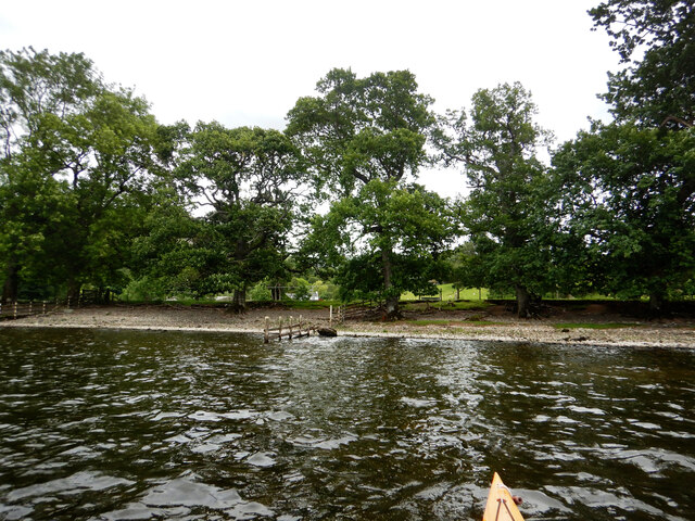
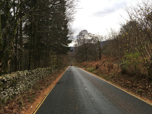
Access to Low Birk Fell is easily obtained via footpaths and bridleways that crisscross the area. The tranquil atmosphere and unspoiled natural beauty make it a popular destination for those seeking solitude and a connection with the great outdoors.
If you have any feedback on the listing, please let us know in the comments section below.
Low Birk Fell Images
Images are sourced within 2km of 54.563947/-2.9143766 or Grid Reference NY4019. Thanks to Geograph Open Source API. All images are credited.


![Low Moss Sheepfold For further info see ‘Heritage Gateway - Results’. 2012. Heritagegateway.org.uk <span class="nowrap"><a title="https://www.heritagegateway.org.uk/Gateway/Results_Single.aspx?uid=2886841&amp;resourceID=801" rel="nofollow ugc noopener" href="https://www.heritagegateway.org.uk/Gateway/Results_Single.aspx?uid=2886841&amp;resourceID=801">Link</a><img style="margin-left:2px;" alt="External link" title="External link - shift click to open in new window" src="https://s1.geograph.org.uk/img/external.png" width="10" height="10"/></span> [accessed 12 October 2022]](https://s2.geograph.org.uk/geophotos/07/30/98/7309854_3fd07f8b.jpg)


Low Birk Fell is located at Grid Ref: NY4019 (Lat: 54.563947, Lng: -2.9143766)
Administrative County: Cumbria
District: Eden
Police Authority: Cumbria
What 3 Words
///sloping.owner.sized. Near Keswick, Cumbria
Nearby Locations
Related Wikis

Aira Force
Aira Force is a waterfall in the English Lake District, in the civil parish of Matterdale and the county of Cumbria. The site of the waterfall is owned...
Boredale
Boredale sometimes known as Boardale, is a valley within Lake District National Park, in Cumbria, England. The valley is close to the eastern shore of...

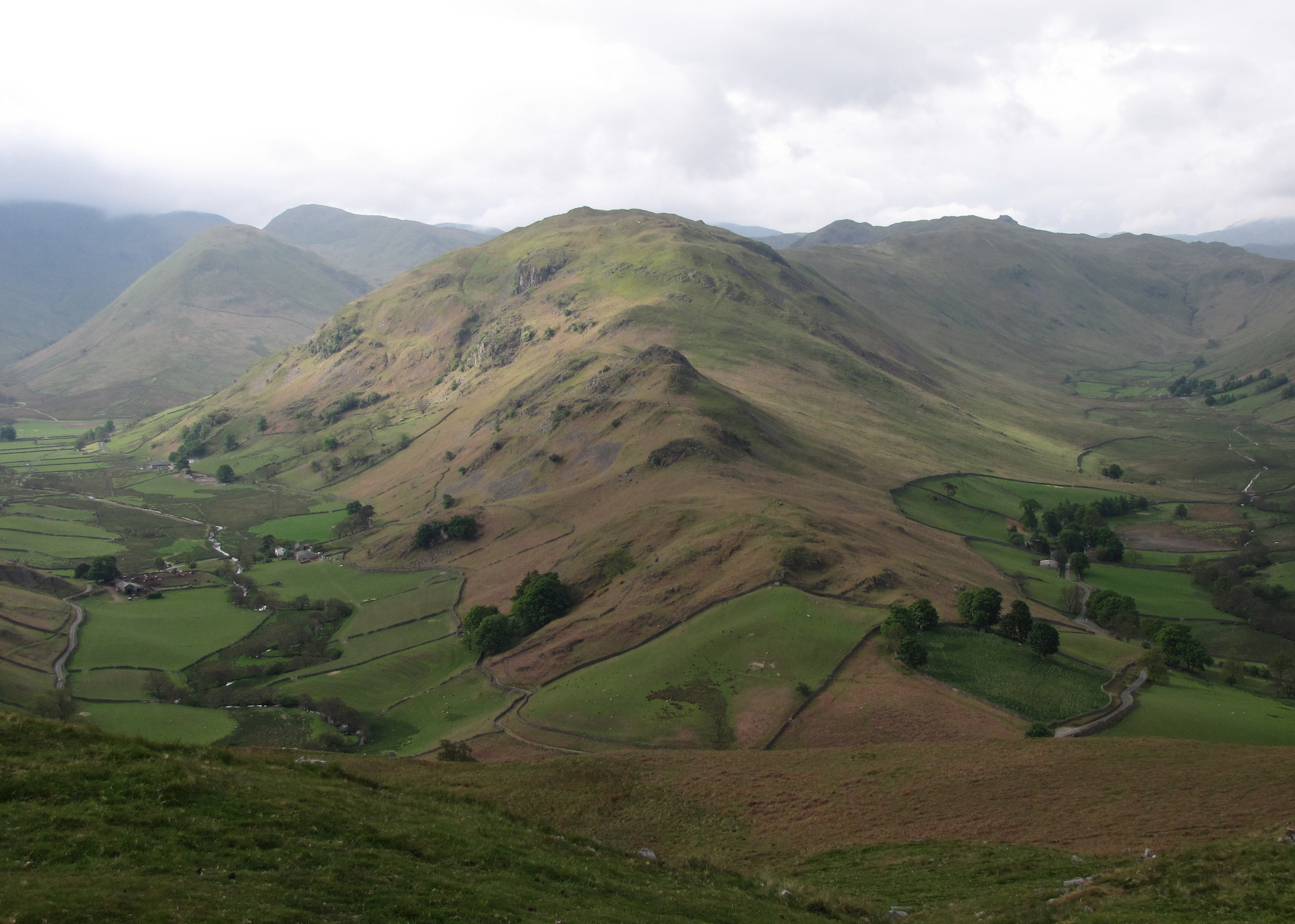
Place Fell
Place Fell is a hill in the English Lake District. It stands at the corner of the upper and middle reaches of Ullswater, with steep western flanks overlooking...

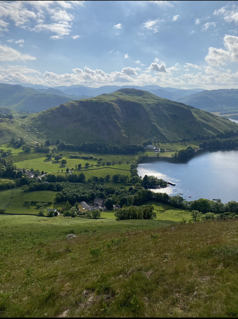
Martindale, Cumbria
Martindale is a valley, village and civil parish in Cumbria, England, situated within the Lake District National Park between the lakes of Ullswater and...
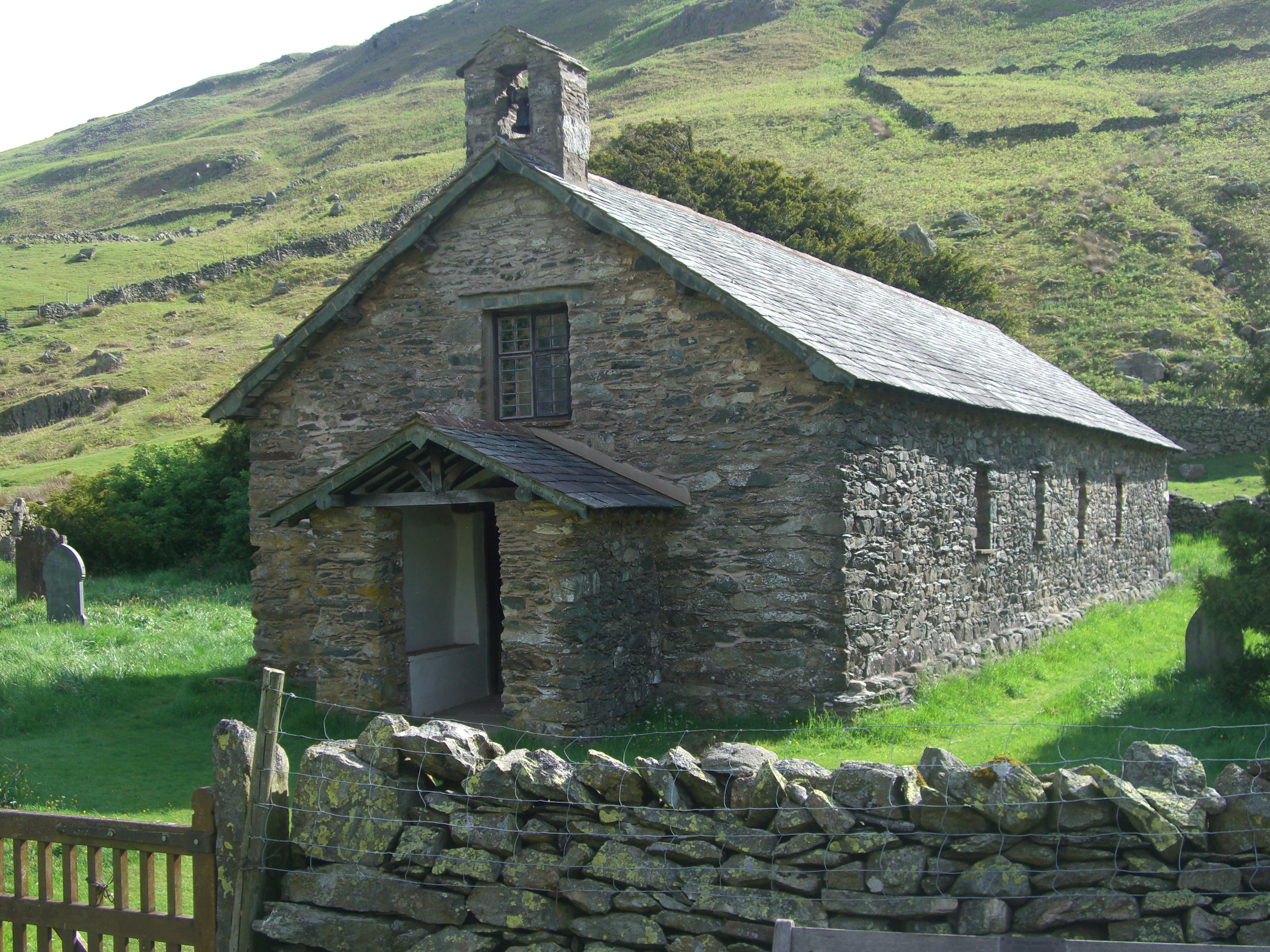
St Martin's Church, Martindale
St Martin's Church, Martindale is located in the valley of Martindale in Cumbria, England. It is often referred to as the "Old Church" to avoid confusion...
Hallin Fell
Hallin Fell is a hill in the English Lake District surrounded on three sides by Ullswater. == Topography == The fell is a continuation of the ridge leading...
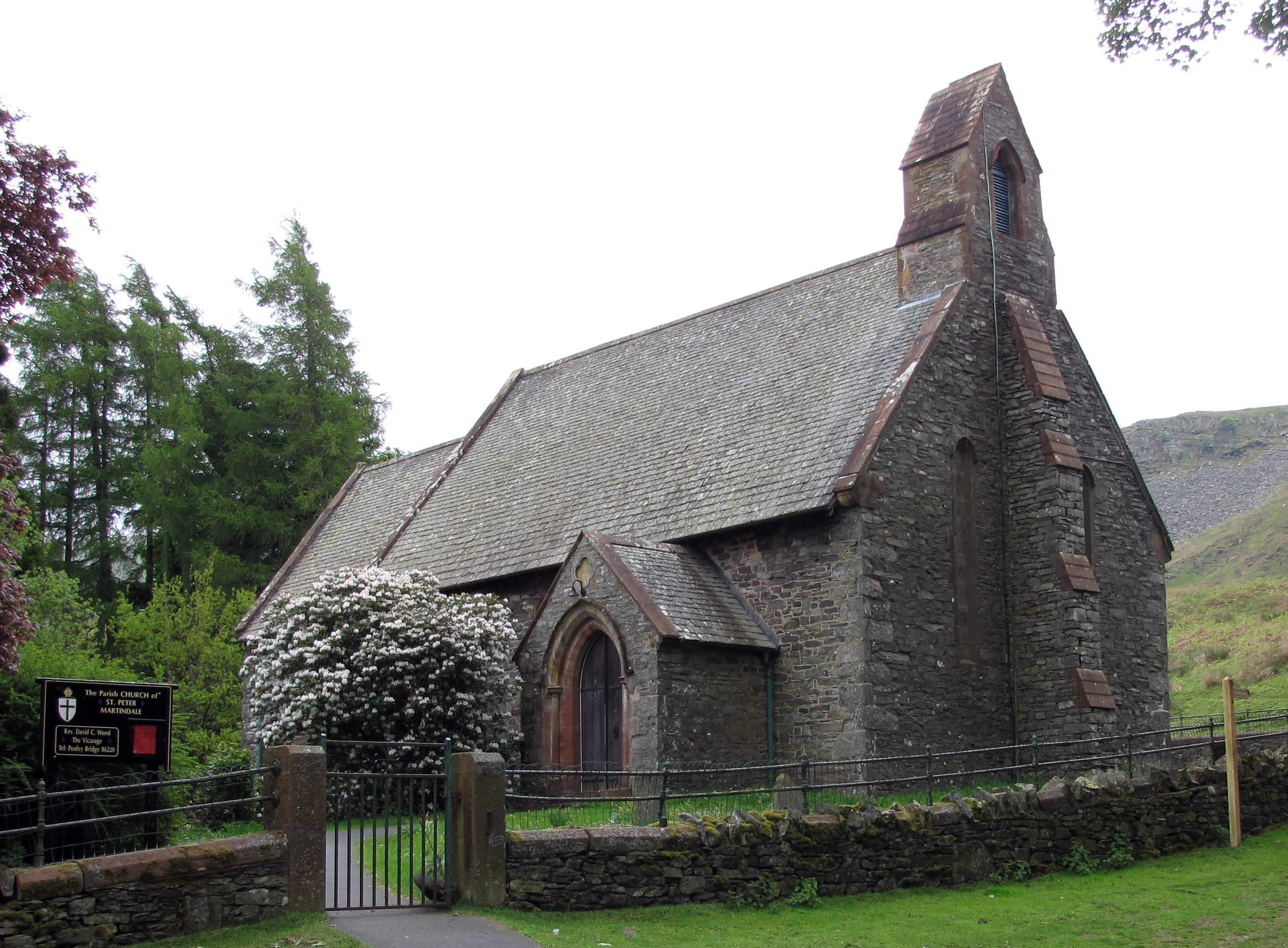
St Peter's Church, Martindale
St Peter’s Church is situated in the valley of Martindale in Cumbria, England. The church is located at the top of the hause on the minor road between...
Beda Fell
Beda Fell is a fell in the English Lake District, situated to the south of Ullswater. It divides the valleys of Boredale and Bannerdale within the Martindale...
Nearby Amenities
Located within 500m of 54.563947,-2.9143766Have you been to Low Birk Fell?
Leave your review of Low Birk Fell below (or comments, questions and feedback).