Rooking Gill Head
Landscape Feature in Westmorland Eden
England
Rooking Gill Head
![Red deer, below Bedafell Knott, Bannerdale 300 metres away, but well aware of me. Red deer are more usually seen on the east [Nab] side of Bannerdale.](https://s3.geograph.org.uk/geophotos/06/91/67/6916723_c7298698.jpg)
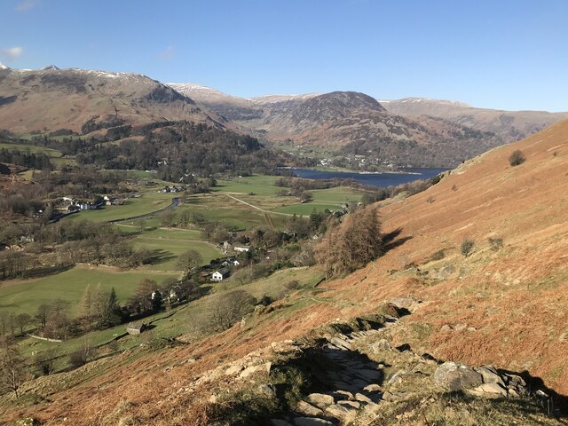
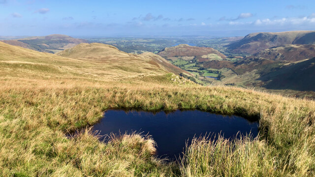
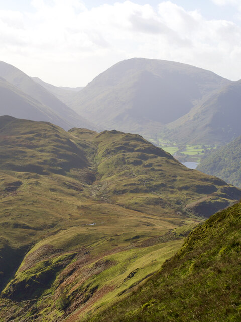
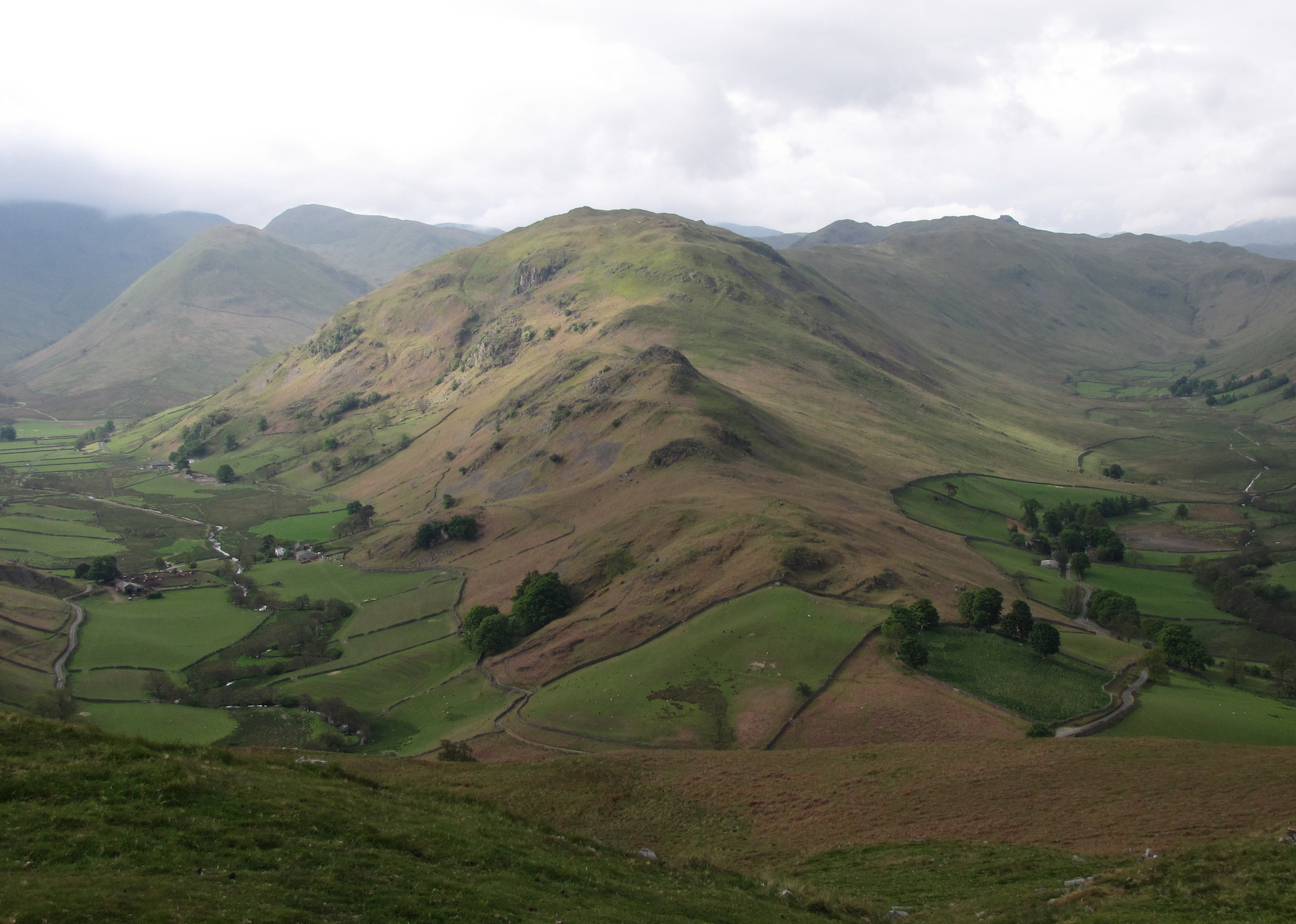
Rooking Gill Head is a prominent landscape feature located in Westmorland, a historic county in the northwest region of England. Situated near the picturesque Lake District National Park, Rooking Gill Head is a stunning geological formation that has captivated visitors for centuries.
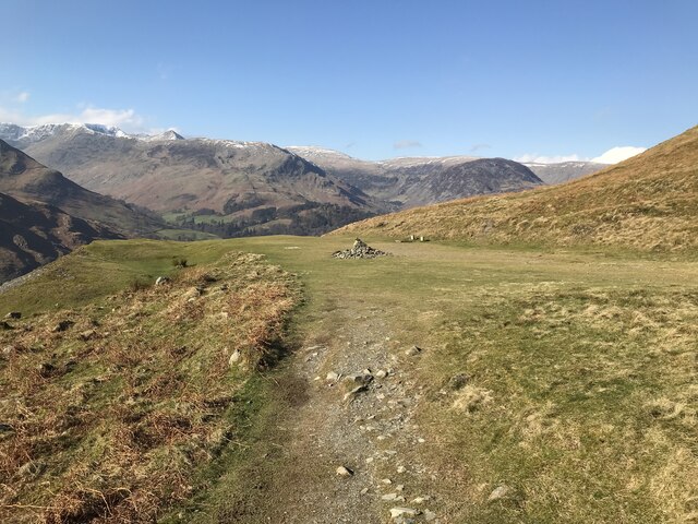
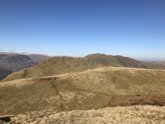
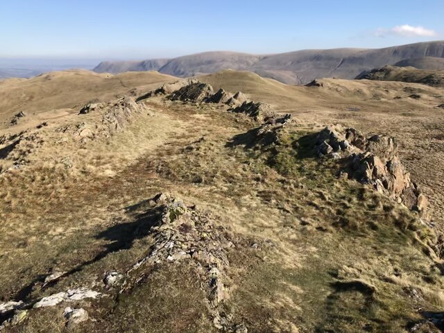
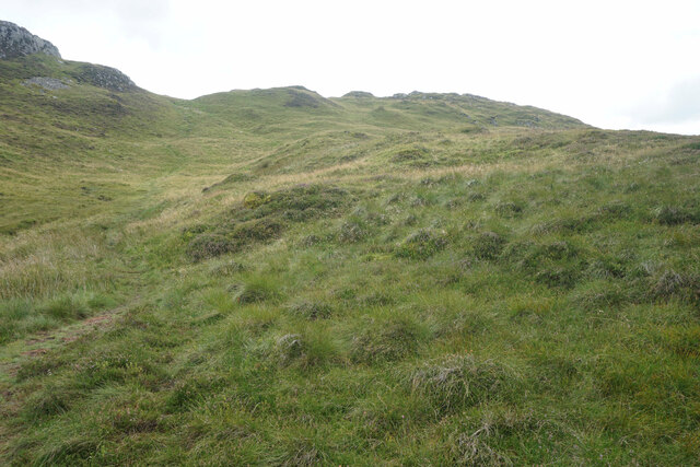
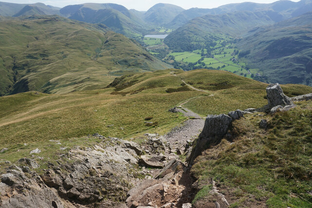
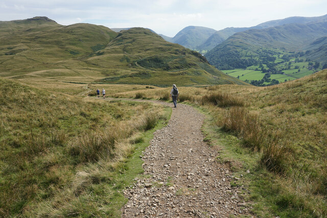
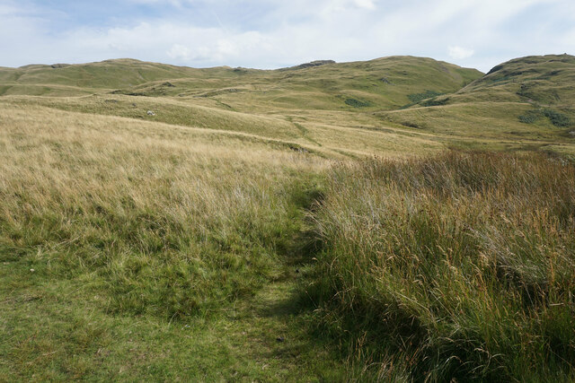
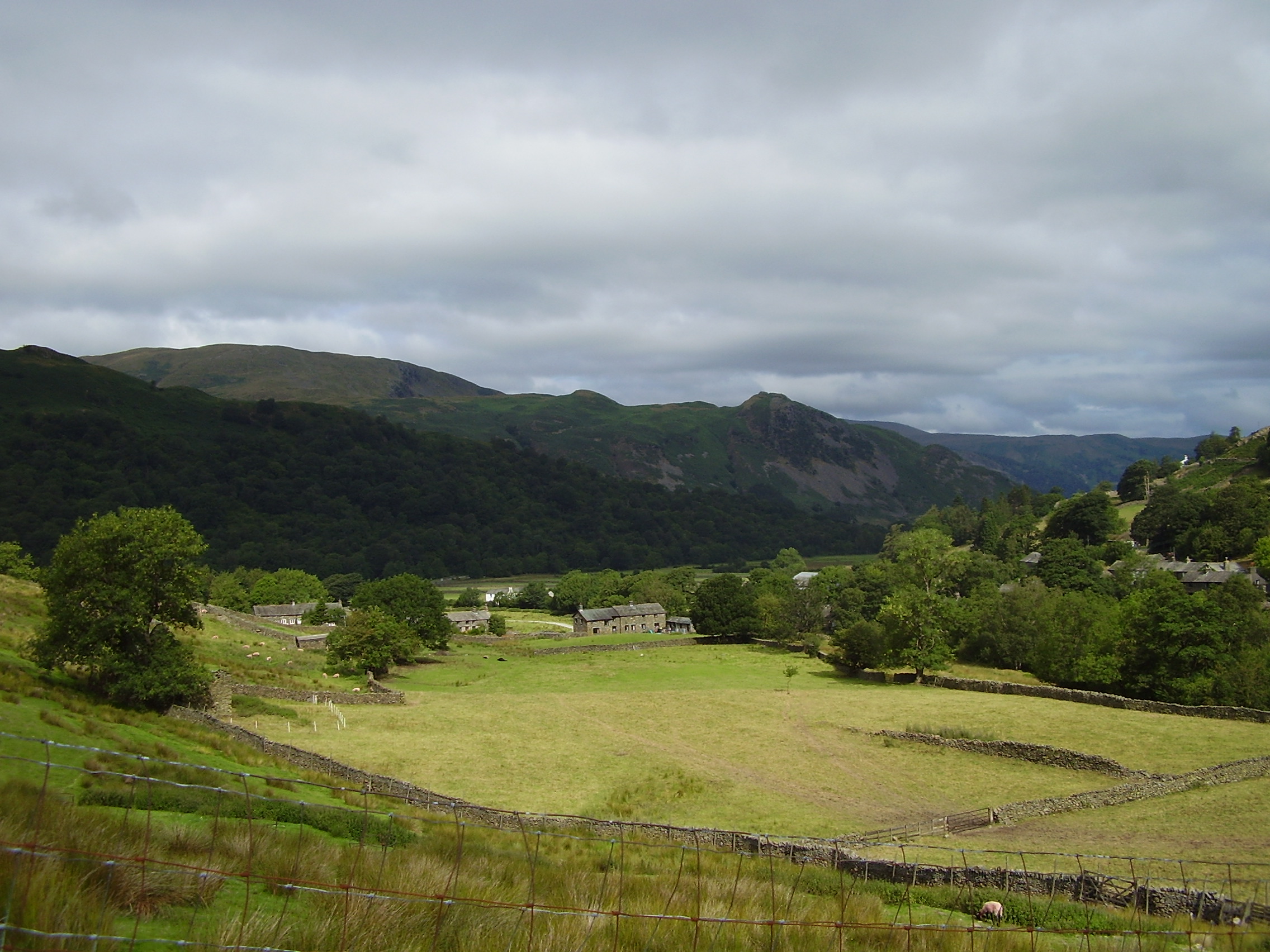
This landscape feature is characterized by its rugged terrain, showcasing steep cliffs and deep gorges that have been sculpted over millennia by the forces of nature. The gill, or ravine, is carved out by the Rooking Gill Beck, a small stream which flows through the area, adding to the enchanting beauty of the site. The surrounding countryside is a mix of rolling hills covered in lush green vegetation, dotted with scattered trees and shrubs.
The area is frequented by hikers, nature enthusiasts, and photographers who are drawn to the stunning vistas and the tranquility it offers. Rooking Gill Head provides ample opportunities for outdoor activities, such as walking along the well-maintained trails that crisscross the landscape, allowing visitors to explore its natural wonders.
The diverse flora and fauna of the region also add to its appeal, with a variety of plant species, including heather, ferns, and wildflowers, creating a vibrant and colorful tapestry. Wildlife such as deer, foxes, and various bird species can also be spotted in the area, making it a haven for nature lovers.
Overall, Rooking Gill Head in Westmorland is a captivating landscape feature that offers breathtaking views, diverse flora and fauna, and a peaceful ambiance, making it a must-visit destination for those seeking to immerse themselves in the beauty of the English countryside.
If you have any feedback on the listing, please let us know in the comments section below.
Rooking Gill Head Images
Images are sourced within 2km of 54.54155/-2.9192856 or Grid Reference NY4016. Thanks to Geograph Open Source API. All images are credited.

![Low Moss Sheepfold For further info see ‘Heritage Gateway - Results’. 2012. Heritagegateway.org.uk <span class="nowrap"><a title="https://www.heritagegateway.org.uk/Gateway/Results_Single.aspx?uid=2886841&amp;resourceID=801" rel="nofollow ugc noopener" href="https://www.heritagegateway.org.uk/Gateway/Results_Single.aspx?uid=2886841&amp;resourceID=801">Link</a><img style="margin-left:2px;" alt="External link" title="External link - shift click to open in new window" src="https://s1.geograph.org.uk/img/external.png" width="10" height="10"/></span> [accessed 12 October 2022]](https://s2.geograph.org.uk/geophotos/07/30/98/7309854_3fd07f8b.jpg)


Rooking Gill Head is located at Grid Ref: NY4016 (Lat: 54.54155, Lng: -2.9192856)
Administrative County: Cumbria
District: Eden
Police Authority: Cumbria
What 3 Words
///plod.resting.impact. Near Ambleside, Cumbria
Nearby Locations
Related Wikis

Place Fell
Place Fell is a hill in the English Lake District. It stands at the corner of the upper and middle reaches of Ullswater, with steep western flanks overlooking...

Patterdale
Patterdale (Saint Patrick's Dale) is a small village and civil parish in the eastern part of the English Lake District in the Eden District of Cumbria...

Angletarn Pikes
Angletarn Pikes is a fell in the English Lake District near the village of Patterdale. Its most notable feature is Angle Tarn from which it derives its...
Glenridding House
Glenridding House is a Regency era building in Glenridding on Ullswater, constructed between 1807 and 1814. It was a private summer villa until about 1860...
Arnison Crag
Arnison Crag is a fell in the English Lake District, an outlier of the Fairfield group in the Eastern Fells. It looks down on Patterdale village and the...
Beda Fell
Beda Fell is a fell in the English Lake District, situated to the south of Ullswater. It divides the valleys of Boredale and Bannerdale within the Martindale...

Glenridding
Glenridding is a village at the southern end of Ullswater, in the English Lake District. The village is popular with mountain walkers who can scale England...

Glenridding Dodd
Glenridding Dodd (the rounded hill above Glenridding) is a small fell in the English Lake District, at the end of a ridge descending from the Helvellyn...
Nearby Amenities
Located within 500m of 54.54155,-2.9192856Have you been to Rooking Gill Head?
Leave your review of Rooking Gill Head below (or comments, questions and feedback).