Angerton Point
Coastal Feature, Headland, Point in Lancashire South Lakeland
England
Angerton Point

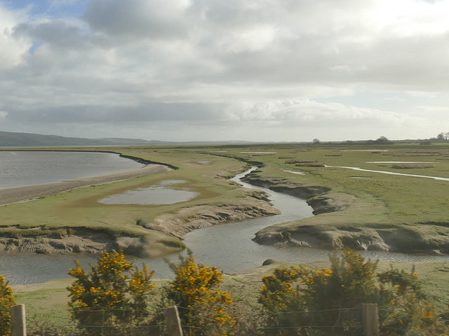
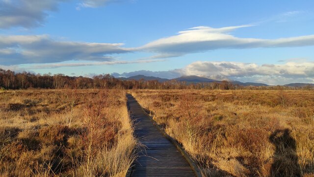
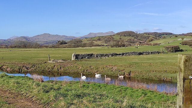
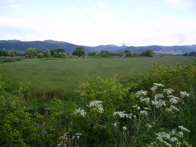
Angerton Point is a prominent coastal feature located in Lancashire, England. It is classified as a headland, also known as a point, due to its elongated and protruding shape into the sea. This geological formation is situated along the picturesque coastline of Lancashire, offering breathtaking views of the surrounding area.
The headland of Angerton Point is characterized by its rugged cliffs, which rise steeply from the sea, creating a dramatic and imposing landscape. These cliffs are composed of sedimentary rocks, including sandstone and shale, which have been shaped by erosion over millions of years.
The headland is home to a diverse range of flora and fauna, making it an important ecological site. Rare plant species can be found clinging to the cliffs, while seabirds such as gulls, cormorants, and puffins nest in the crevices and ledges.
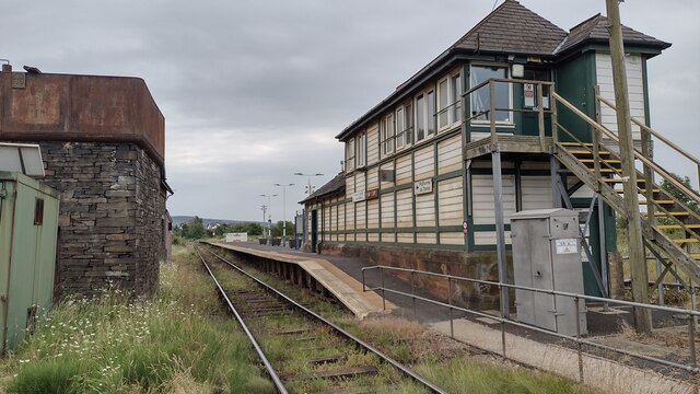
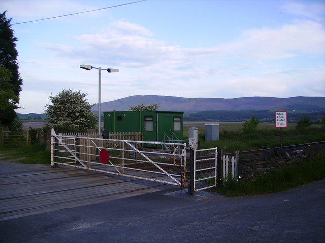
Angerton Point is also significant from a historical perspective. The headland has witnessed human activity dating back centuries, with archaeological evidence suggesting that it was once a site of early settlements and defensive structures. These remnants serve as a testament to the rich history of the area.
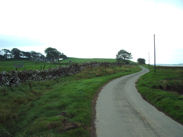
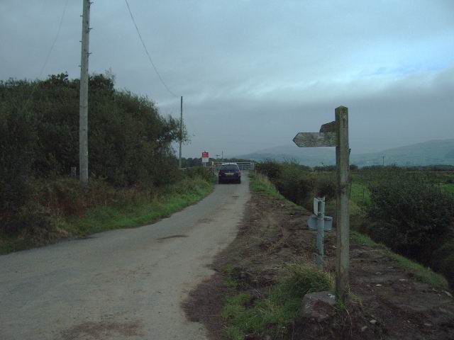
Visitors to Angerton Point can enjoy various recreational activities, including hiking along the coastal trails, birdwatching, and photography. The headland provides an ideal vantage point to admire the rugged beauty of the Lancashire coastline and the vast expanse of the Irish Sea beyond.
In conclusion, Angerton Point is a captivating headland on the Lancashire coast, boasting stunning natural scenery, historical significance, and a wide array of wildlife. It is a must-visit destination for nature enthusiasts and those seeking to explore the region's cultural heritage.
If you have any feedback on the listing, please let us know in the comments section below.
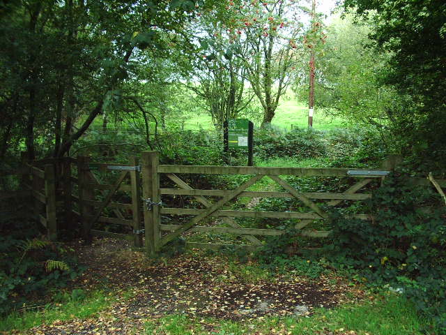
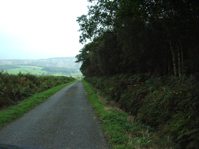
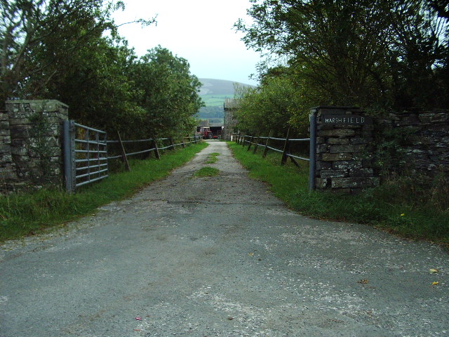
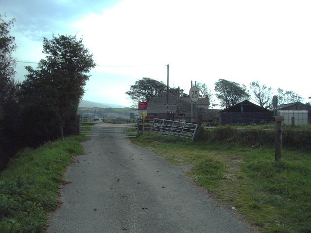
Angerton Point Images
Images are sourced within 2km of 54.247177/-3.2109504 or Grid Reference SD2184. Thanks to Geograph Open Source API. All images are credited.
Angerton Point is located at Grid Ref: SD2184 (Lat: 54.247177, Lng: -3.2109504)
Administrative County: Cumbria
District: South Lakeland
Police Authority: Cumbria
What 3 Words
///flat.obvious.neatly. Near Millom, Cumbria
Nearby Locations
Related Wikis

Foxfield, Cumbria
Foxfield is a village on the west coast of Cumbria, England, in the Furness district that was part of Lancashire from 1182 to 1974. It lies on the Duddon...

Foxfield railway station
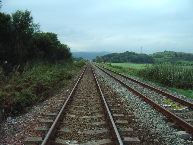
Foxfield is a railway station on the Cumbrian Coast Line, which runs between Carlisle and Barrow-in-Furness. The station, situated 11+1⁄2 miles (19 km...

Angerton, South Lakeland
Angerton is a civil parish in the Westmorland and Furness district of the ceremonial county of Cumbria, England, historically part of the Furness portion...

Kirkby Ireleth
Kirkby Ireleth is a civil parish in the South Lakeland district of the English county of Cumbria. It includes the villages of Grizebeck and Kirkby-in...

Kirkby-in-Furness railway station
Kirkby-in-Furness is a railway station on the Cumbrian Coast Line, which runs between Carlisle and Barrow-in-Furness. The station, situated 9+1⁄4 miles...

Green Road railway station
Green Road is a railway station on the Cumbrian Coast Line, which runs between Carlisle and Barrow-in-Furness. The station, situated 13+1⁄2 miles (22 km...

Kirkby-in-Furness
Kirkby-in-Furness, generally referred to simply as Kirkby locally, is a village that is the major part of the parish of Kirkby Ireleth in the Furness district...

Millom Without
Millom Without is a civil parish in the county of Cumbria, England. It had a population of 1,638 in 2001, decreasing to 859 at the 2011 Census. Millom...
Nearby Amenities
Located within 500m of 54.247177,-3.2109504Have you been to Angerton Point?
Leave your review of Angerton Point below (or comments, questions and feedback).