Sròn nam Meall
Landscape Feature in Perthshire
Scotland
Sròn nam Meall

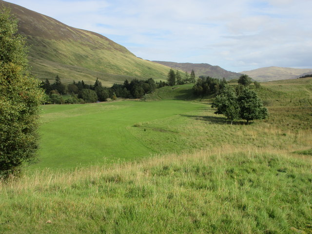
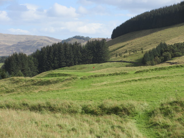
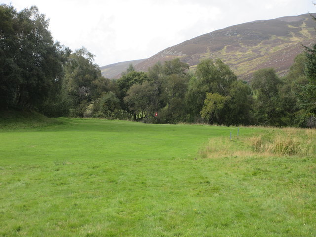
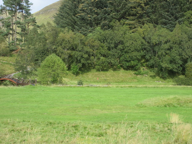
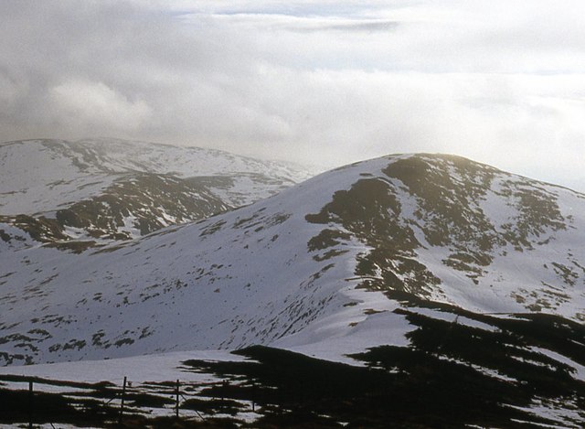
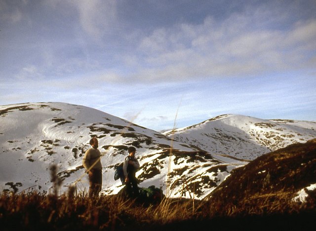
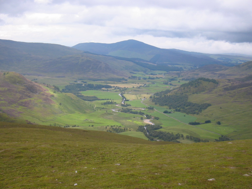
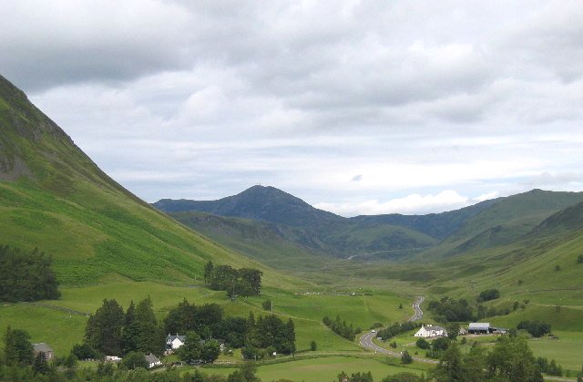
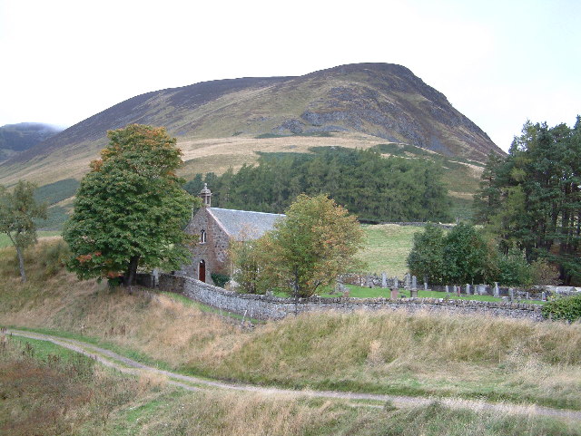
Sròn nam Meall is a prominent landscape feature located in Perthshire, Scotland. It is a distinctive, cone-shaped hill standing at an elevation of approximately 770 meters (2,526 feet) above sea level. The hill is situated within the Cairngorms National Park, near the village of Blair Atholl.
The name "Sròn nam Meall" translates to "Nose of the Hills" in Gaelic, which is fitting as it is surrounded by a cluster of smaller hills. The hill itself is characterized by its steep slopes and rocky terrain, covered in heather and scattered with boulders.
At the summit of Sròn nam Meall, there is a cairn, a man-made pile of stones, which serves as a marker and offers panoramic views of the surrounding countryside. On a clear day, one can see the picturesque landscapes of Perthshire, including the nearby River Tilt, the Grampian Mountains, and the rolling hills that stretch as far as the eye can see.
The area around Sròn nam Meall is rich in biodiversity, with a variety of plant and animal species calling it home. It is particularly known for its birdlife, with species such as golden eagles, peregrine falcons, and red grouse being frequently spotted. The hill is also a popular destination for hikers and nature enthusiasts, who are drawn to its rugged beauty and breathtaking vistas.
Overall, Sròn nam Meall is a captivating landscape feature in Perthshire, offering a glimpse into the natural wonders of Scotland's countryside.
If you have any feedback on the listing, please let us know in the comments section below.
Sròn nam Meall Images
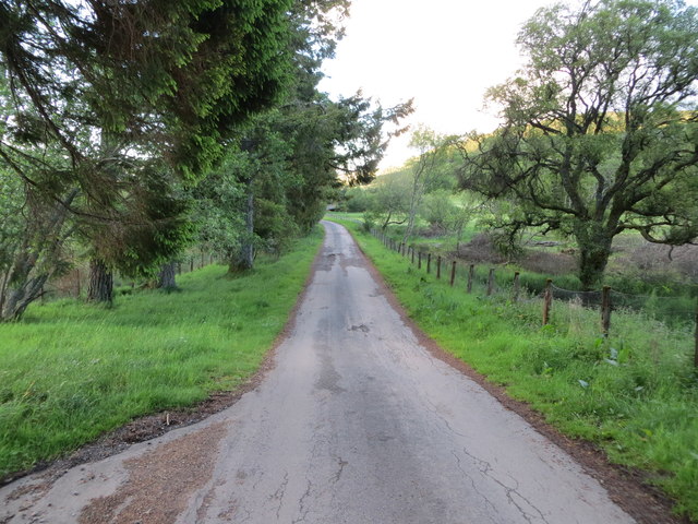
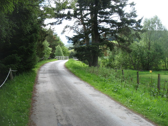
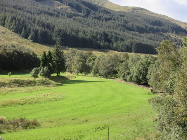
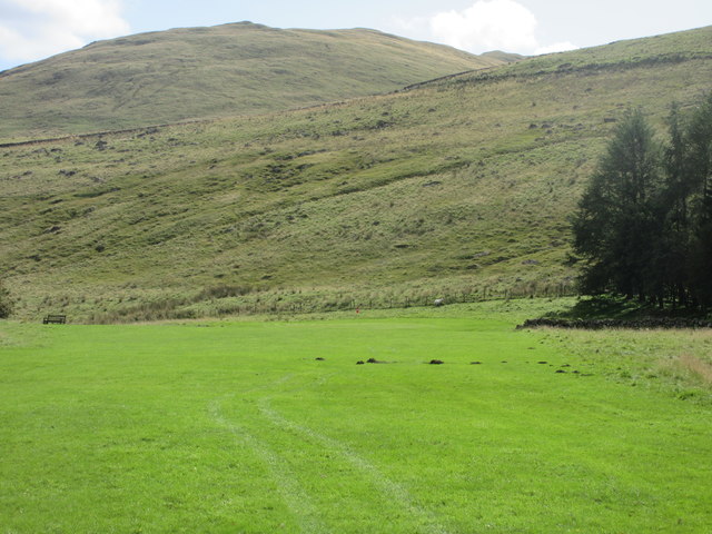
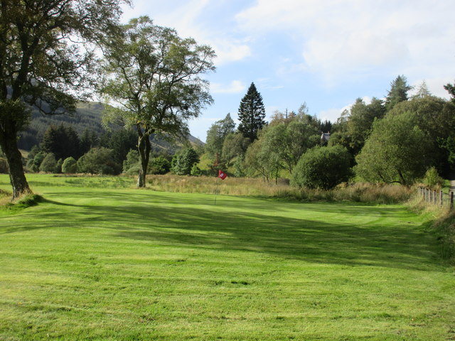
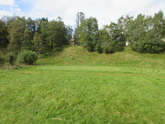
Images are sourced within 2km of 56.811656/-3.4943593 or Grid Reference NO0869. Thanks to Geograph Open Source API. All images are credited.


Sròn nam Meall is located at Grid Ref: NO0869 (Lat: 56.811656, Lng: -3.4943593)
Unitary Authority: Perth and Kinross
Police Authority: Tayside
What 3 Words
///howler.hubcaps.shook. Near Pitlochry, Perth & Kinross
Nearby Locations
Related Wikis
Shee Water
The Shee Water (Scottish Gaelic: Sìdh / Uisge Sìdh) is a river in the highland portion of eastern Perth and Kinross, Scotland. The Allt a' Ghlinne Bhig...
Spittal of Glenshee
The Spittal of Glenshee (Scottish Gaelic: Spideal Ghlinn Sìdh, pronounced [ˈspitʲəl̪ˠ ʝliːɲ ˈʃiːʝ]) lies at the head of Glenshee in the highlands of eastern...
Ben Gulabin
Ben Gulabin (806 m) is a mountain in the Mounth area of the Grampian Mountains in Scotland. It is located on the eastern side of the main A93 road between...

Glen Shee
Glen Shee (Scottish Gaelic: Gleann Sith) is a glen in eastern Perthshire, Scotland. Shee Water flows through the glen. The head of the glen, where Gleann...
Have you been to Sròn nam Meall?
Leave your review of Sròn nam Meall below (or comments, questions and feedback).