Guards Head

Landscape Feature in Cumberland Copeland

England

Guards Head

Trees in Blengdale Forest An area of mature planting within Blengdale Forest. Some of the trees on the edge of the block appear to have succumbed to wind damage, probably exacerbated by the trees on the opposite side of the track being felled fairly recently.
Trees in Blengdale Forest Credit: Graham Robson

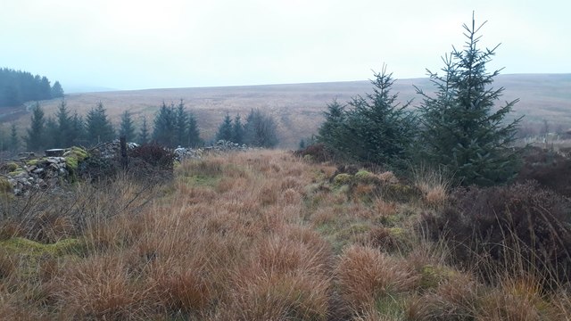
Guards Head is a prominent landscape feature located in Cumberland, a historic county in Northwest England. Situated near the town of Keswick, it is part of the picturesque Lake District National Park. Guards Head is a distinctive rocky outcrop that rises approximately 500 meters above sea level, offering breathtaking views of the surrounding countryside.

The formation of Guards Head can be attributed to geological processes that occurred millions of years ago. It is composed mainly of volcanic rock, specifically andesite and basalt, which were formed during volcanic activity in the area. Over time, erosion and weathering have shaped the rock into its current form, creating a striking and rugged landscape.

The summit of Guards Head is accessible via walking trails that wind their way through the undulating terrain. Hikers and outdoor enthusiasts are drawn to this area for its challenging yet rewarding climbs and panoramic vistas. From the top, visitors can enjoy unobstructed views of the nearby mountains, valleys, and lakes, including the iconic Derwent Water.

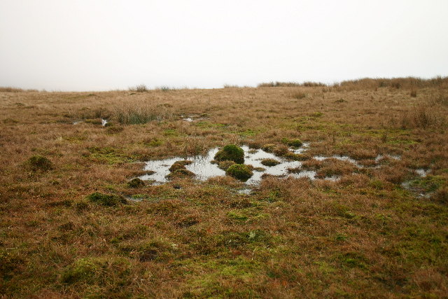
The area surrounding Guards Head is known for its rich wildlife and diverse plant species. The lower slopes are covered in lush vegetation, including heather, bracken, and various grasses, providing habitats for a variety of birds, mammals, and insects.

Due to its natural beauty and significant geological features, Guards Head is a popular destination for both locals and tourists alike. Whether it be for hiking, photography, or simply enjoying the tranquility of the countryside, Guards Head offers a memorable experience for anyone seeking to explore the wonders of Cumberland's landscape.

If you have any feedback on the listing, please let us know in the comments section below.
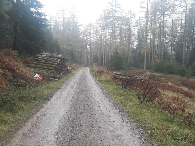
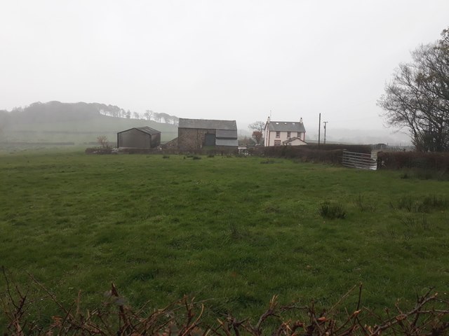
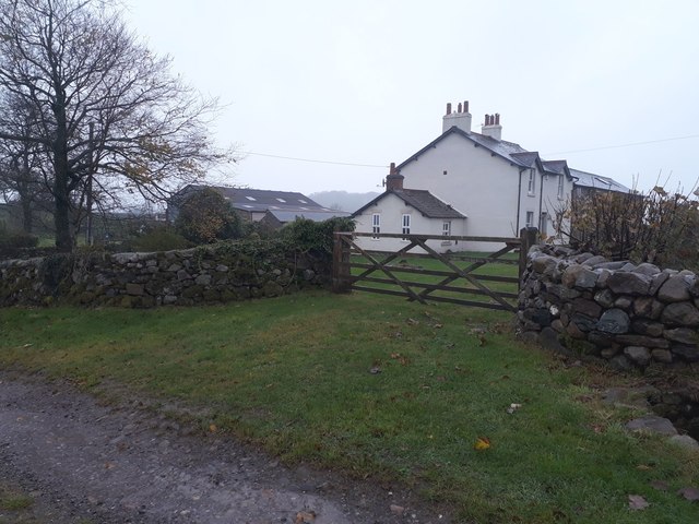
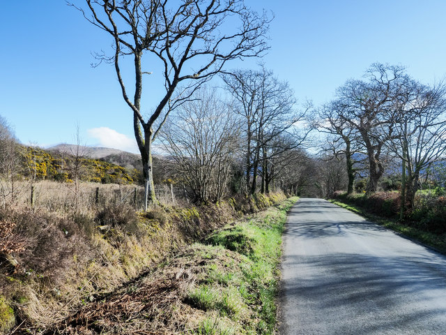
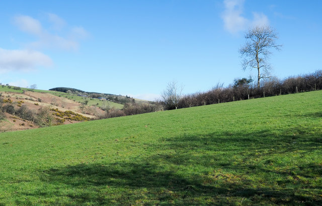
Guards Head Images

Images are sourced within 2km of 54.435435/-3.3958534 or Grid Reference NY0905. Thanks to Geograph Open Source API. All images are credited.

Trees in Blengdale Forest An area of mature planting within Blengdale Forest. Some of the trees on the edge of the block appear to have succumbed to wind damage, probably exacerbated by the trees on the opposite side of the track being felled fairly recently.
Trees in Blengdale Forest
An area of mature planting within Blengdale Forest. Some of the trees on the edge of the block appear to have succumbed to wind damage, probably exacerbated by the trees on the opposite side of the track being felled fairly recently.
Clear felled area within Blengdale Forest A large area of forest cleared of all trees, a bleak expanse of open ground on a wet day at the start of November.
Clear felled area within Blengdale Forest
A large area of forest cleared of all trees, a bleak expanse of open ground on a wet day at the start of November.
Bridleway descending to the River Bleng A bridleway picks its way down the slope towards the river between a block of planting and a dry stone wall.
Bridleway descending to the River Bleng
A bridleway picks its way down the slope towards the river between a block of planting and a dry stone wall.
The River Bleng The River Bleng carrying a lot of water downstream on a persistently rainy November day. There are, according to maps, stepping stones somewhere under the torrent of water allowing bridleway users to cross the river, I wasn't mad enough to try crossing however.
The River Bleng
The River Bleng carrying a lot of water downstream on a persistently rainy November day. There are, according to maps, stepping stones somewhere under the torrent of water allowing bridleway users to cross the river, I wasn't mad enough to try crossing however.
Track in Blengdale Forest A track through Blengdale Forest. A footpath follows the track.
Track in Blengdale Forest
A track through Blengdale Forest. A footpath follows the track.
Log piles beside the track, Blengdale Forest Evidence of ongoing work in Blengdale Forest in the form of piles of cut logs stacked beside the track through the forest.
Log piles beside the track, Blengdale Forest
Evidence of ongoing work in Blengdale Forest in the form of piles of cut logs stacked beside the track through the forest.
Road south of Blengdale The minor road connecting Blengdale and Blengdale Forest to the village of Wellington.
Road south of Blengdale
The minor road connecting Blengdale and Blengdale Forest to the village of Wellington.
Yard at Mill House Farm The farm yard beside the sheds of Mill House Farm, being used for the parking and storage of various agricultural machinery and paraphernalia.
Yard at Mill House Farm
The farm yard beside the sheds of Mill House Farm, being used for the parking and storage of various agricultural machinery and paraphernalia.
Entrance to Mill House farm steading The entrance off a minor road into the steading of Mill House Farm. The water lying on the road and yard entrance is evidence of the persistent rain that had been falling all day prior to the taking of this photo.
Entrance to Mill House farm steading
The entrance off a minor road into the steading of Mill House Farm. The water lying on the road and yard entrance is evidence of the persistent rain that had been falling all day prior to the taking of this photo.
Sowermyrr farm Looking across a grass paddock towards the small farm at Sowermyrr.
Sowermyrr farm
Looking across a grass paddock towards the small farm at Sowermyrr.
Bolton Head The farmhouse and adjacent buildings at Bolton Head.
Bolton Head
The farmhouse and adjacent buildings at Bolton Head.
Bridleway at Bolton Head A narrow track east of Bolton House. Further along it was very wet underfoot.
Bridleway at Bolton Head
A narrow track east of Bolton House. Further along it was very wet underfoot.
Farm track east of Rainors A farm track passing between the farms of Rainors and Julian Holme. A public bridleway follows the track.
Farm track east of Rainors
A farm track passing between the farms of Rainors and Julian Holme. A public bridleway follows the track.
Hawkbarrow Farm Looking down the short lane to the farm buildings and house at Hawkbarrow Farm. The large pond in front of the steading appears to be a recent addition.
Hawkbarrow Farm
Looking down the short lane to the farm buildings and house at Hawkbarrow Farm. The large pond in front of the steading appears to be a recent addition.
Minor road north of Hawkbarrow Farm The minor road passing to the north of Hawkbarrow Farm.
Minor road north of Hawkbarrow Farm
The minor road passing to the north of Hawkbarrow Farm.
Grass with rushes at southern Ponsonby Fell The area is a vague rise to the south of Ponsonby Fell's summit.
The snow-scattered mountains in the distance lie between Wasdale and Ennerdale; Seatallan is the isolated peak to the right.
Grass with rushes at southern Ponsonby Fell
The area is a vague rise to the south of Ponsonby Fell's summit. The snow-scattered mountains in the distance lie between Wasdale and Ennerdale; Seatallan is the isolated peak to the right.
Minor road heading west The road connects Wasdale Head with Gosforth.
Seatallan is the hill on the horizon to the left of the most prominent tree.
Minor road heading west
The road connects Wasdale Head with Gosforth. Seatallan is the hill on the horizon to the left of the most prominent tree.
Field on north side of road above River Bleng Looking uphill over the field towards one of its boundaries which is fenced and has an unkempt hedge. The trench of Blengdale with its river, the Bleng, is obvious.
Field on north side of road above River Bleng
Looking uphill over the field towards one of its boundaries which is fenced and has an unkempt hedge. The trench of Blengdale with its river, the Bleng, is obvious.
Show me another place!

Guards Head is located at Grid Ref: NY0905 (Lat: 54.435435, Lng: -3.3958534)

Administrative County: Cumbria

District: Copeland

Police Authority: Cumbria

What 3 Words

///backswing.clogging.moss. Near Seascale, Cumbria

Nearby Locations

Guards Head

Related Wikis

Borough of Copeland

The Borough of Copeland was a local government district with borough status in western Cumbria, England. Its council was based in Whitehaven. It was...

Copeland (UK Parliament constituency)

Copeland is a constituency in Cumbria created in 1983 and represented in the House of Commons of the UK Parliament. The constituency is represented in...

Bamse's Wood

Bamse's Wood is a newly planted forest and nature reserve that sits between Gosforth and Nether Wasdale in the Lake District, Cumbria, England. The 17...

Ponsonby Fell

Ponsonby Fell is a hill in the west of the English Lake District, near Gosforth, in the Borough of Copeland, Cumbria. It is the subject of a chapter of...

Nearby Amenities

Located within 500m of 54.435435,-3.3958534
Barrier: stile
Bicycle: no
Foot: designated
Horse: no
Motor Vehicle: no
Stile: ladder
Lat/Long: 54.431521/-3.3965225
Guards Head
Place: locality
Lat/Long: 54.4356135/-3.3942255
Whin Garth
Place: locality
Lat/Long: 54.4348313/-3.4022731
Between Guards
Place: locality
Lat/Long: 54.4325198/-3.3998006
Power: pole
Lat/Long: 54.4326046/-3.3995683
Power: pole
Lat/Long: 54.4319928/-3.3990061
The data included in this document is from www.openstreetmap.org. The data is made available under ODbL.

Have you been to Guards Head?

Leave your review of Guards Head below (or comments, questions and feedback).