Windylaw Head

Landscape Feature in Fife

Scotland

Windylaw Head

A985 eastbound
A985 eastbound Credit: Alpin Stewart

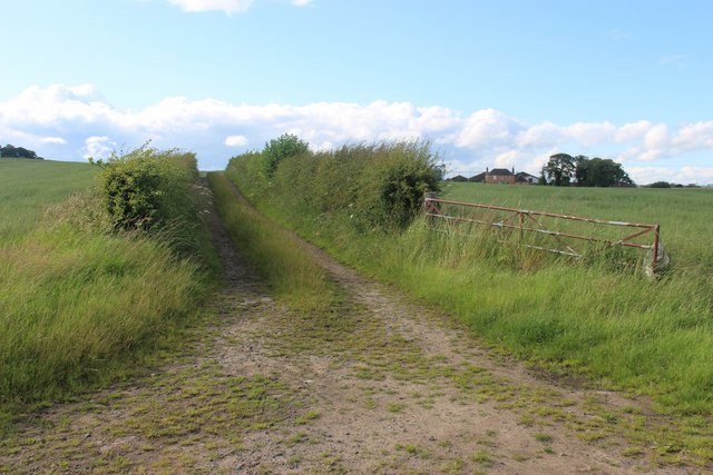
Windylaw Head is a prominent landscape feature located in Fife, Scotland. Situated near the village of Kingsbarns, it overlooks the North Sea and offers breathtaking views of the surrounding coastal area.

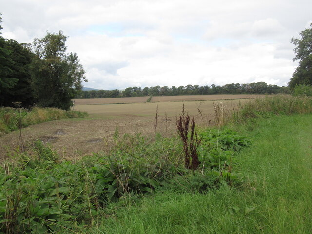
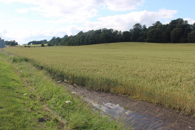
Rising to an elevation of approximately 80 meters above sea level, Windylaw Head is characterized by its rugged cliffs and grassy slopes. The headland extends out into the sea, forming a natural promontory that serves as a vantage point for observing the nearby countryside and ocean.

The headland is primarily composed of sandstone, which has been eroded over time by the relentless forces of wind and water. This erosion has resulted in the formation of several caves and arches along the cliff face, adding to the area's unique beauty.

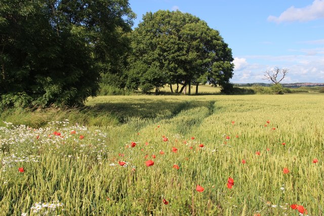
The vegetation on Windylaw Head is diverse, with grasses, shrubs, and wildflowers covering the slopes. The headland is also home to a variety of bird species, including gulls, fulmars, and cormorants, making it a popular spot for birdwatching enthusiasts.

Access to Windylaw Head is convenient, with a well-maintained footpath leading visitors to the summit. Along the way, informative signage provides interesting facts about the area's geological and ecological features. Additionally, benches are strategically placed at various viewpoints, allowing visitors to rest and take in the stunning scenery.

Overall, Windylaw Head offers a captivating landscape for nature lovers and outdoor enthusiasts alike. Its dramatic cliffs, coastal views, and diverse wildlife make it a must-visit destination for those exploring the scenic wonders of Fife.

If you have any feedback on the listing, please let us know in the comments section below.

Windylaw Head Images

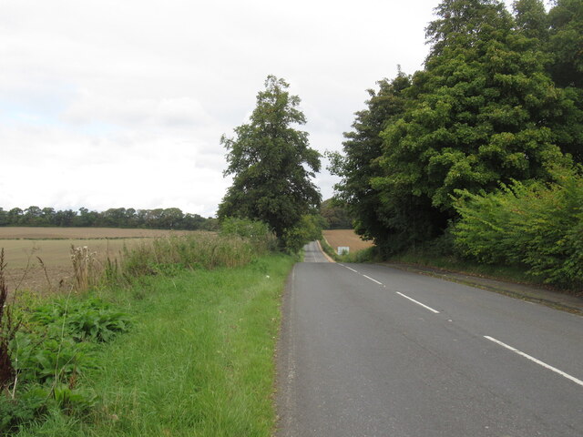
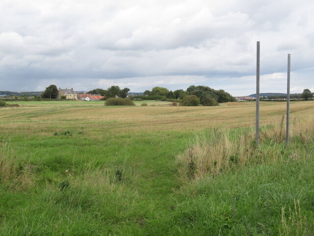
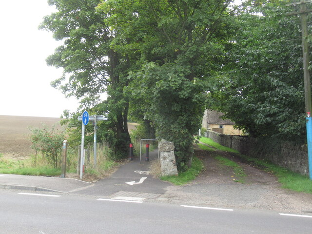
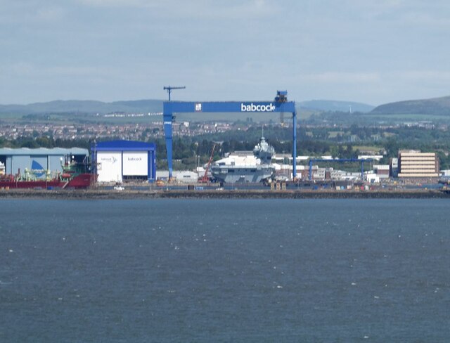
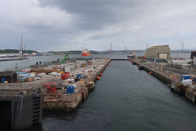
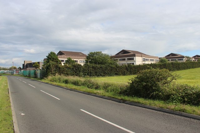
Images are sourced within 2km of 56.033531/-3.4654299 or Grid Reference NT0883. Thanks to Geograph Open Source API. All images are credited.

A985 eastbound
A985 eastbound
A985 eastbound
A985 eastbound
Railway bridge over the A985
A985 near Gellet Without the windscreen view of the railway bridge that carried a line down to Limekilns on the Firth of Forth.
A985 near Gellet
Without the windscreen view of the railway bridge that carried a line down to Limekilns on the Firth of Forth.
Stubble near Gellet
Stubble near Gellet
B9165, south of Dunfermline
Stubble, Brucehaven
Stubble, Brucehaven
Brucehaven The Fife Coastal path emerges here as part of the awkward bypassing of Rosyth Dockyard.
Brucehaven
The Fife Coastal path emerges here as part of the awkward bypassing of Rosyth Dockyard.
Rosyth Dockyard The Goliath crane, capable of lifting 1000 tonnes, is clearly visible from the grounds of Hopetoun House on the far side of the Firth of Forth.
Rosyth Dockyard
The Goliath crane, capable of lifting 1000 tonnes, is clearly visible from the grounds of Hopetoun House on the far side of the Firth of Forth.
Leaving Rosyth Dockyard
Rosyth barracks, HMS Caledonia
A field of Grain at Brucehaven Bounded by Fossackiehill Plantation.
A field of Grain at Brucehaven
Bounded by Fossackiehill Plantation.
A field of Grain at Brucehaven Beside Douglasbank Cemetery.
A field of Grain at Brucehaven
Beside Douglasbank Cemetery.
Farm track leading to Blackhall
Aircraft Carrier Queen Elizabeth (under construction) Not yet an HMS. That happens when she is commissioned as a 'Ship of the Line'. The white stuff along the deck is protective sheeting erected by scaffolders to provide a safe and weather proof habitat for various trades to conduct their duties.
Aircraft Carrier Queen Elizabeth (under construction)
Not yet an HMS. That happens when she is commissioned as a 'Ship of the Line'. The white stuff along the deck is protective sheeting erected by scaffolders to provide a safe and weather proof habitat for various trades to conduct their duties.
HMS Queen Elizabeth under construction at Rosyth Dockyard Photographed from across the Forth from near Abercorn.
HMS Queen Elizabeth under construction at Rosyth Dockyard
Photographed from across the Forth from near Abercorn.
Limekilns Much of Limekilns is squeezed between the north bank of the Forth and the wooded escarpment behind it.
Limekilns
Much of Limekilns is squeezed between the north bank of the Forth and the wooded escarpment behind it.
Limekilns Harbour Looking west, the cranes at Crombie depot just visible on the horizon.
Limekilns Harbour
Looking west, the cranes at Crombie depot just visible on the horizon.
Show me another place!

Windylaw Head is located at Grid Ref: NT0883 (Lat: 56.033531, Lng: -3.4654299)

Unitary Authority: Fife

Police Authority: Fife

What 3 Words

///ringers.removers.airship. Near Limekilns, Fife

Related Wikis

Pattiesmuir

Pattiesmuir (formerly Pettimuir, Pettymuir and also known as Patiemuir, Patiesmuir and Peattie Muir) is a small, dormitory hamlet located in the west of...

Limekilns

Limekilns is a village in Fife, Scotland. It lies on the shore of the Firth of Forth, around 3 miles (5 km) south of Dunfermline. == History and economy... ==

HMS Scotia (shore establishment)

HMS Scotia is one of the newest Royal Naval Reserve units, formed in 1958, and currently recruiting from the east of Scotland. The unit inhabits spacious...

HMS Caledonia (base)

His Majesty’s Ship Caledonia (HMS Caledonia) is a military establishment of the Royal Navy based next to the former Royal Naval Dockyard, Rosyth in Scotland...

Nearby Amenities

Located within 500m of 56.033531,-3.4654299
Rosyth Old Kirk
Description: Pre-reformation church ruins, abandoned 1630-48.
Historic: ruins
Historic Civilization: medieval
Website: https://canmore.org.uk/site/49515/rosyth-church
Wikidata: Q56668031
Lat/Long: 56.0296554/-3.4694099
Barrier: cycle_barrier
Bicycle: yes
Cycle Barrier: single
Foot: yes
Lat/Long: 56.0357593/-3.4608182
Power: pole
Lat/Long: 56.0312005/-3.4675728
Power: pole
Lat/Long: 56.0311649/-3.4665181
Power: pole
Lat/Long: 56.0311372/-3.4655059
Power: pole
Lat/Long: 56.0311075/-3.4644795
Power: pole
Lat/Long: 56.0310759/-3.4634744
Power: pole
Lat/Long: 56.0310245/-3.4614323
Power: pole
Lat/Long: 56.0310027/-3.4603811
Power: pole
Lat/Long: 56.0309592/-3.4593618
Generator Method: photovoltaic
Generator Output Electricity: yes
Generator Source: solar
Generator Type: solar_photovoltaic_panel
Power: generator
Lat/Long: 56.0317696/-3.4692414
Generator Method: photovoltaic
Generator Output Electricity: yes
Generator Source: solar
Generator Type: solar_photovoltaic_panel
Power: generator
Lat/Long: 56.0334295/-3.4732311
Generator Method: photovoltaic
Generator Output Electricity: yes
Generator Source: solar
Generator Type: solar_photovoltaic_panel
Power: generator
Lat/Long: 56.0344931/-3.4725402
Power: pole
Lat/Long: 56.0310482/-3.4623753
Power: pole
Lat/Long: 56.0312237/-3.4683739
The data included in this document is from www.openstreetmap.org. The data is made available under ODbL.

Have you been to Windylaw Head?

Leave your review of Windylaw Head below (or comments, questions and feedback).