Brucemount Plantation

Wood, Forest in Fife

Scotland

Brucemount Plantation

A985 eastbound
A985 eastbound Credit: Alpin Stewart

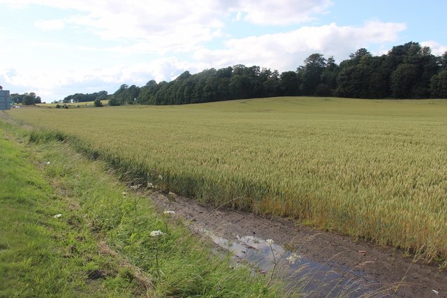
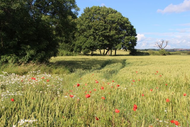
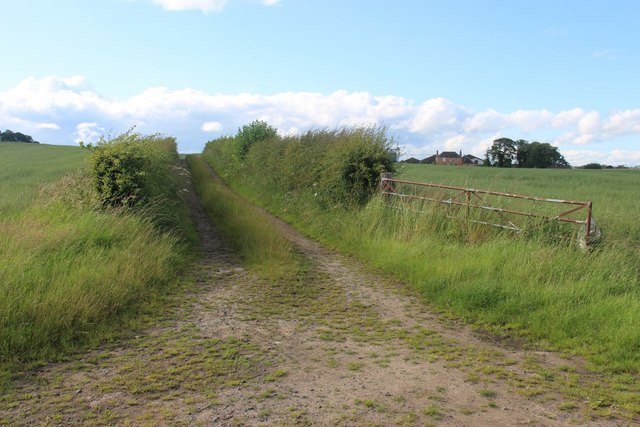
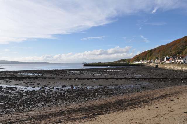
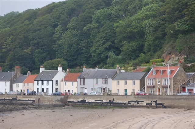
Brucemount Plantation is a picturesque woodland area located in the region of Fife, Scotland. Spread across a vast expanse, the plantation is renowned for its natural beauty and diverse range of flora and fauna. Nestled amidst rolling hills and meandering streams, Brucemount Plantation offers a tranquil retreat for nature enthusiasts and hikers alike.

The plantation is predominantly composed of a mix of deciduous and coniferous trees, including oak, beech, pine, and spruce. This diverse range of tree species provides an enchanting tapestry of colors throughout the year, with vibrant foliage in the autumn and lush greenery in the warmer months. The dense canopy created by these trees offers a cool respite during summer and provides a habitat for a variety of woodland creatures.

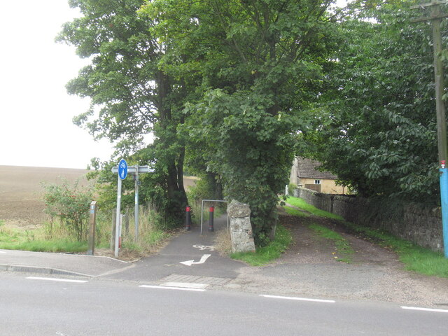
Walking trails crisscross the plantation, allowing visitors to explore its natural wonders at their own pace. As they meander through the woodland, visitors may spot an array of wildlife, including red squirrels, deer, and various species of birds. The plantation is also home to a rich undergrowth of ferns, mosses, and wildflowers, adding to its captivating allure.

Brucemount Plantation holds historical significance as well, with remnants of an old castle and other structures dotting the landscape. These remnants serve as a reminder of the area's past and add an intriguing element to the overall experience.

Whether it's a leisurely stroll, a hike, or a bird-watching expedition, Brucemount Plantation offers an idyllic escape into nature's embrace. Its natural beauty, diverse wildlife, and historical remnants make it a must-visit destination for those seeking solace in the enchanting woodlands of Fife.

If you have any feedback on the listing, please let us know in the comments section below.

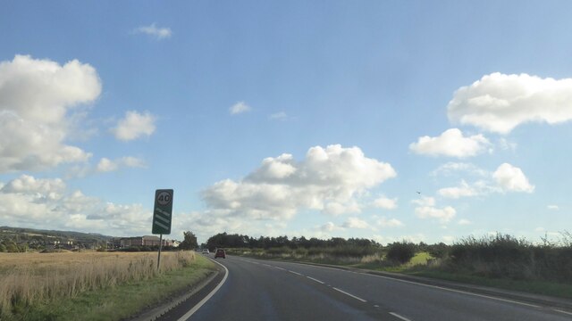
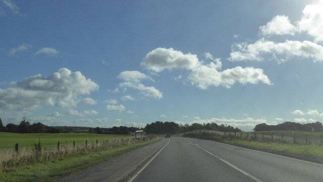
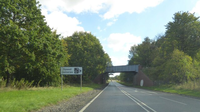
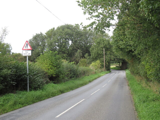
Brucemount Plantation Images

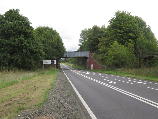
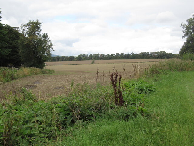
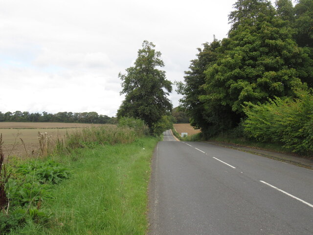
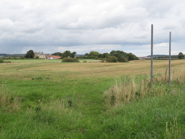
Images are sourced within 2km of 56.03955/-3.4655778 or Grid Reference NT0883. Thanks to Geograph Open Source API. All images are credited.

A985 eastbound
A985 eastbound
A985 eastbound
A985 eastbound
Railway bridge over the A985
Waggon Road Approaching a bridge carrying the railway from Dunfermline to Alloa via Kincardine, criminally underused.
Waggon Road
Approaching a bridge carrying the railway from Dunfermline to Alloa via Kincardine, criminally underused.
A985 near Gellet Without the windscreen view of the railway bridge that carried a line down to Limekilns on the Firth of Forth.
A985 near Gellet
Without the windscreen view of the railway bridge that carried a line down to Limekilns on the Firth of Forth.
Stubble near Gellet
Stubble near Gellet
B9165, south of Dunfermline
Stubble, Brucehaven
Stubble, Brucehaven
Brucehaven The Fife Coastal path emerges here as part of the awkward bypassing of Rosyth Dockyard.
Brucehaven
The Fife Coastal path emerges here as part of the awkward bypassing of Rosyth Dockyard.
Rosyth Dockyard The Goliath crane, capable of lifting 1000 tonnes, is clearly visible from the grounds of Hopetoun House on the far side of the Firth of Forth.
Rosyth Dockyard
The Goliath crane, capable of lifting 1000 tonnes, is clearly visible from the grounds of Hopetoun House on the far side of the Firth of Forth.
Rosyth barracks, HMS Caledonia
A field of Grain at Brucehaven Bounded by Fossackiehill Plantation.
A field of Grain at Brucehaven
Bounded by Fossackiehill Plantation.
A field of Grain at Brucehaven Beside Douglasbank Cemetery.
A field of Grain at Brucehaven
Beside Douglasbank Cemetery.
Farm track leading to Blackhall
Aircraft Carrier Queen Elizabeth (under construction) Not yet an HMS. That happens when she is commissioned as a 'Ship of the Line'. The white stuff along the deck is protective sheeting erected by scaffolders to provide a safe and weather proof habitat for various trades to conduct their duties.
Aircraft Carrier Queen Elizabeth (under construction)
Not yet an HMS. That happens when she is commissioned as a 'Ship of the Line'. The white stuff along the deck is protective sheeting erected by scaffolders to provide a safe and weather proof habitat for various trades to conduct their duties.
HMS Queen Elizabeth under construction at Rosyth Dockyard Photographed from across the Forth from near Abercorn.
HMS Queen Elizabeth under construction at Rosyth Dockyard
Photographed from across the Forth from near Abercorn.
Limekilns Much of Limekilns is squeezed between the north bank of the Forth and the wooded escarpment behind it.
Limekilns
Much of Limekilns is squeezed between the north bank of the Forth and the wooded escarpment behind it.
Limekilns Harbour Looking west, the cranes at Crombie depot just visible on the horizon.
Limekilns Harbour
Looking west, the cranes at Crombie depot just visible on the horizon.
Show me another place!

Brucemount Plantation is located at Grid Ref: NT0883 (Lat: 56.03955, Lng: -3.4655778)

Unitary Authority: Fife

Police Authority: Fife

What 3 Words

///boast.painter.loaning. Near Limekilns, Fife

Related Wikis

Pattiesmuir

Pattiesmuir (formerly Pettimuir, Pettymuir and also known as Patiemuir, Patiesmuir and Peattie Muir) is a small, dormitory hamlet located in the west of...

Broomhall House

Broomhall House is the family seat of the Earls of Elgin, three miles (4.8 kilometres) south-west of Dunfermline, sitting above the village of Limekilns...

Limekilns

Limekilns is a village in Fife, Scotland. It lies on the shore of the Firth of Forth, around 3 miles (5 km) south of Dunfermline. == History and economy... ==

HMS Scotia (shore establishment)

HMS Scotia is one of the newest Royal Naval Reserve units, formed in 1958, and currently recruiting from the east of Scotland. The unit inhabits spacious...

Nearby Amenities

Located within 500m of 56.03955,-3.4655778
Bus Stop
East Lodge
Bench: no
Bin: no
Bus: yes
Lit: no
Naptan AtcoCode: 6500D9182
Naptan NaptanCode: 34346793
Passenger Information Display: no
Public Transport: platform
Shelter: no
Unsigned: yes
Lat/Long: 56.040735/-3.4713304
Bus Stop
East Lodge
Bench: no
Bin: no
Bus: yes
Lit: no
Naptan AtcoCode: 6500D9135
Naptan NaptanCode: 34398739
Passenger Information Display: no
Public Transport: platform
Shelter: no
Unsigned: yes
Lat/Long: 56.0404498/-3.4710114
Power: pole
Lat/Long: 56.0411561/-3.4728034
Power: pole
Lat/Long: 56.0410159/-3.4717961
The data included in this document is from www.openstreetmap.org. The data is made available under ODbL.

Have you been to Brucemount Plantation?

Leave your review of Brucemount Plantation below (or comments, questions and feedback).