Sròn Coire na Creige
Landscape Feature in Perthshire
Scotland
Sròn Coire na Creige
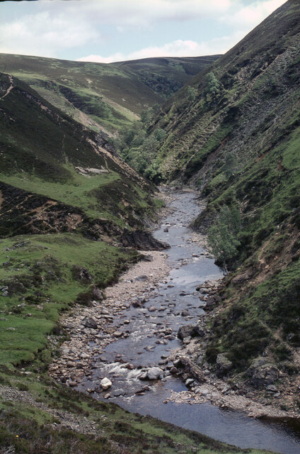
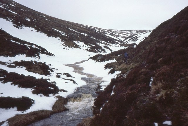
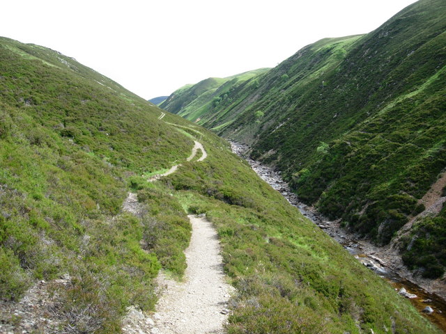
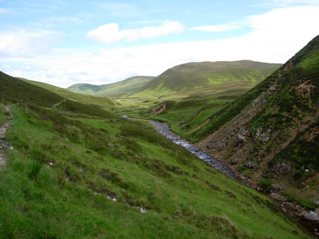
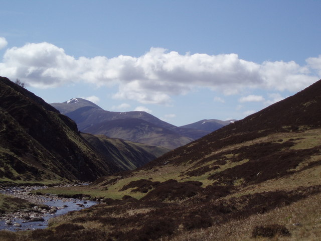
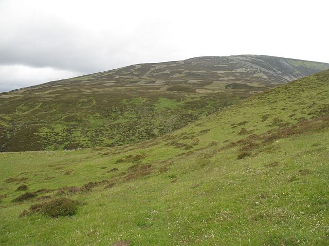
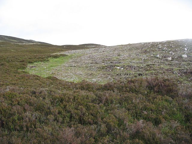
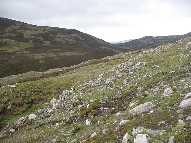
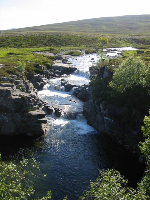
Sròn Coire na Creige is a prominent landscape feature located in Perthshire, Scotland. It is a striking rocky ridge that stretches for approximately 2 kilometers in length, rising up to an elevation of around 800 meters. The name Sròn Coire na Creige translates to "Nose of the Corrie of the Rocks" in English, which accurately describes its appearance.
The ridge is formed by a series of steep and jagged rock formations, creating a dramatic and rugged landscape. It is predominantly composed of ancient granite, which gives the rocks a distinctive pinkish hue. This geological feature is a result of glacial erosion over thousands of years, sculpting the terrain into its current form.
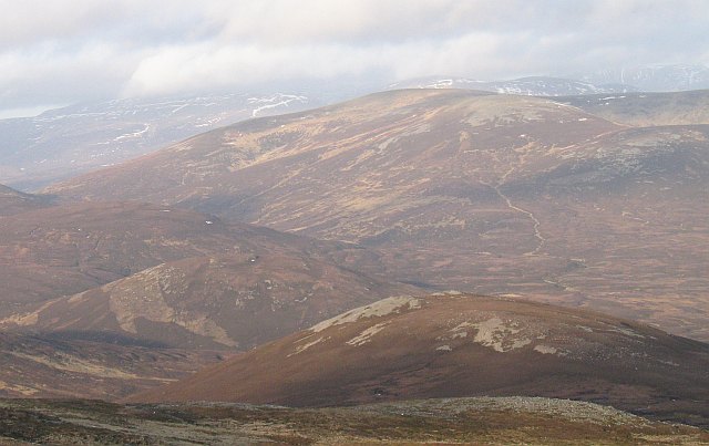
At the summit of Sròn Coire na Creige, one can enjoy breathtaking panoramic views of the surrounding area. To the east, the ridge overlooks the stunning Loch Tay and the picturesque villages nestled along its shores. To the west, the landscape extends towards the majestic peaks of the Grampian Mountains.
The area surrounding Sròn Coire na Creige is rich in biodiversity, with a variety of flora and fauna calling it home. Visitors may spot various species of birds, including golden eagles and peregrine falcons, soaring above the ridge. The lower slopes are covered in heather and grasses, providing habitat for small mammals such as mountain hares and red deer.
Overall, Sròn Coire na Creige is a captivating and awe-inspiring landscape feature, offering visitors the chance to immerse themselves in the natural beauty of the Perthshire region.
If you have any feedback on the listing, please let us know in the comments section below.
Sròn Coire na Creige Images
Images are sourced within 2km of 56.911725/-3.6825752 or Grid Reference NN9781. Thanks to Geograph Open Source API. All images are credited.
Sròn Coire na Creige is located at Grid Ref: NN9781 (Lat: 56.911725, Lng: -3.6825752)
Unitary Authority: Perth and Kinross
Police Authority: Tayside
What 3 Words
///outermost.survive.dart. Near Inverey, Aberdeenshire
Nearby Locations
Related Wikis
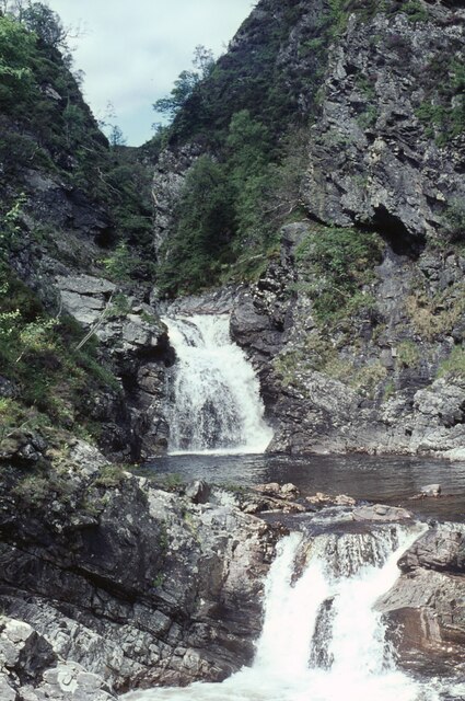
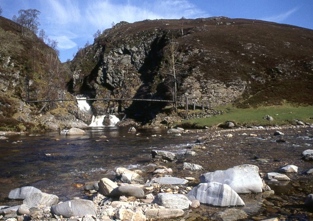
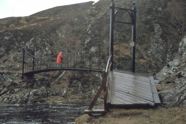
Falls of Tarf
The Falls of Tarf is a waterfall on the Tarf Water in the eastern Highlands of Scotland. Immediately downstream of the falls the Tarf is joined by a second...

Loch Tilt
Loch Tilt is a small mountain freshwater loch that sits at the end of Glen Tilt and is located in north-east Perth and Kinross, Scotland. Loch Tilt has...
An Sgarsoch
An Sgarsoch (1,006.5m) is a mountain in the Grampian Mountains of Scotland. It lies north of Blair Atholl in a very remote part of the Highlands, on the...

Loch Loch
Loch Loch is a remote freshwater loch, located in Glen Loch in Perth and Kinross, some 9.5 miles north of Pitlochry, Scotland and is within the Forest...

Beinn Iutharn Mhòr
Beinn Iutharn Mhor (1,045 m) is a mountain in the Grampian Mountains of Scotland. It lies north of Glen Shee on the Aberdeenshire and Perthshire border...

Càrn Bhac
Carn Bhac (945 m) is a mountain in the Grampian Mountains of Scotland. It lies north of the village of Inverey in Aberdeenshire, in the southern Mounth...

Carn an Fhidhleir
Carn an Fhidhleir (994 m) is a mountain in the Grampian Mountains of Scotland. It lies on the border of Inverness-shire, Perthshire and Aberdeenshire,...
Chest of Dee
Chest of Dee is a waterfall of Scotland. == See also == Waterfalls of Scotland == References ==
Have you been to Sròn Coire na Creige?
Leave your review of Sròn Coire na Creige below (or comments, questions and feedback).