Sròn nam Broc
Landscape Feature in Perthshire
Scotland
Sròn nam Broc
Sròn nam Broc is a prominent landscape feature located in Perthshire, Scotland. The name Sròn nam Broc translates to "Nose of the Badgers" in Gaelic, which reflects the area's rich wildlife and natural beauty. This picturesque hill is characterized by its gently sloping terrain and lush vegetation, making it a popular destination for hikers and nature enthusiasts.
The summit of Sròn nam Broc offers stunning panoramic views of the surrounding countryside, including the rolling hills and forests of Perthshire. On a clear day, visitors can see all the way to the distant peaks of the Scottish Highlands. The hill is also home to a variety of wildlife, including badgers, deer, and a wide range of bird species.
Sròn nam Broc is easily accessible by foot, with several well-marked trails leading to the summit. Along the way, visitors can enjoy the sights and sounds of the Scottish countryside, from babbling brooks to ancient woodlands. Whether you're looking for a challenging hike or a peaceful retreat in nature, Sròn nam Broc has something to offer for everyone.
If you have any feedback on the listing, please let us know in the comments section below.
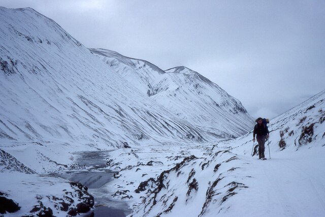
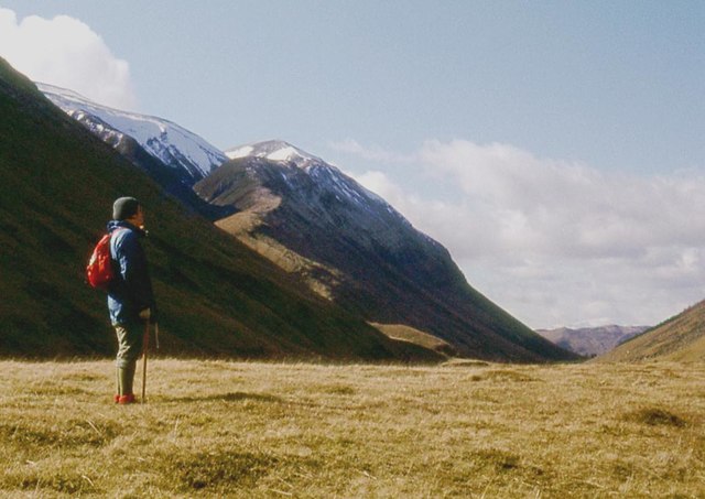
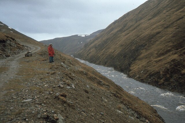
Sròn nam Broc Images
Images are sourced within 2km of 56.875493/-3.7152747 or Grid Reference NN9577. Thanks to Geograph Open Source API. All images are credited.


Sròn nam Broc is located at Grid Ref: NN9577 (Lat: 56.875493, Lng: -3.7152747)
Unitary Authority: Perth and Kinross
Police Authority: Tayside
What 3 Words
///mammal.jeeps.cavalier. Near Blair Atholl, Perth & Kinross
Nearby Locations
Related Wikis
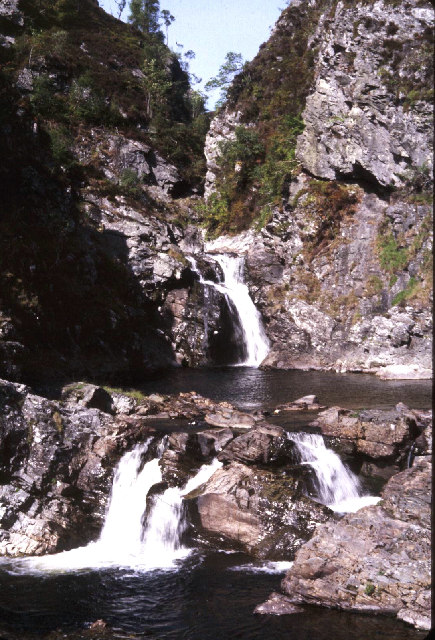
Falls of Tarf
The Falls of Tarf is a waterfall on the Tarf Water in the eastern Highlands of Scotland. Immediately downstream of the falls the Tarf is joined by a second...

Loch Loch
Loch Loch is a remote freshwater loch, located in Glen Loch in Perth and Kinross, some 9.5 miles north of Pitlochry, Scotland and is within the Forest...

Carn a' Chlamain
Càrn a' Chlamain (Gaelic: Càrn a' Chlamhain) is a Scottish mountain situated roughly 12 kilometres north of Blair Atholl in the Forest of Atholl. It is...

Beinn a' Ghlò
Beinn a’ Ghlò is a Scottish mountain situated roughly 10 km (6 mi) north east of Blair Atholl in the Forest of Atholl in between Glen Tilt and Glen Loch...
Have you been to Sròn nam Broc?
Leave your review of Sròn nam Broc below (or comments, questions and feedback).