Sròn Lochain
Landscape Feature in Perthshire
Scotland
Sròn Lochain
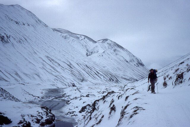
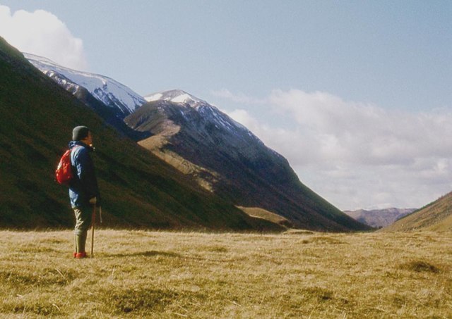
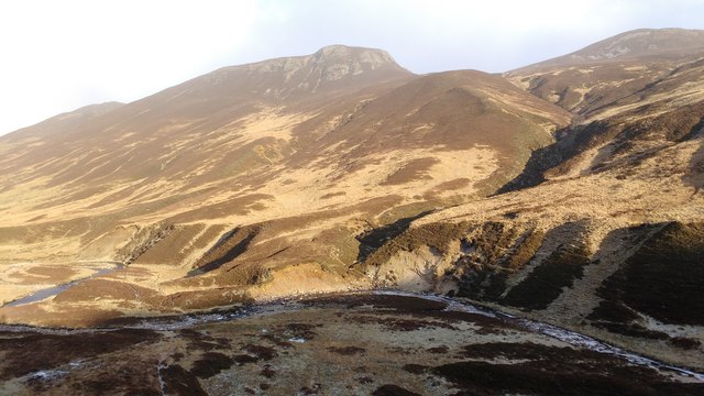
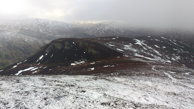
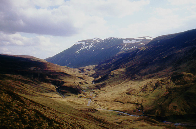
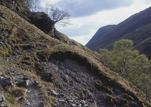
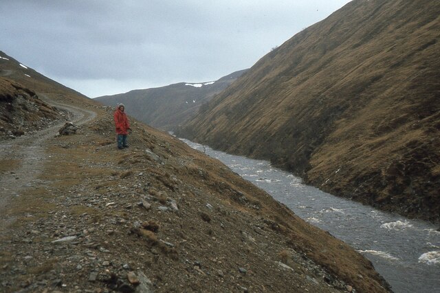
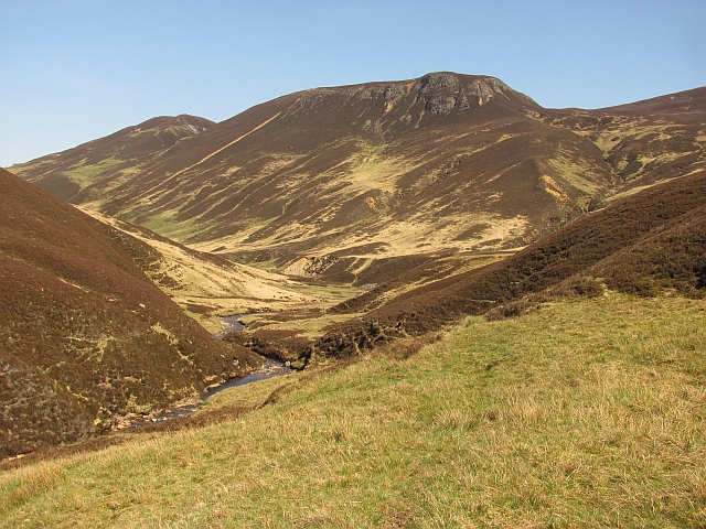
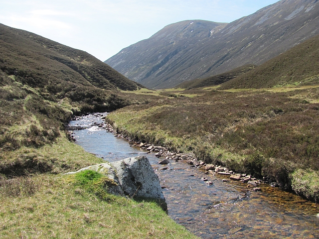
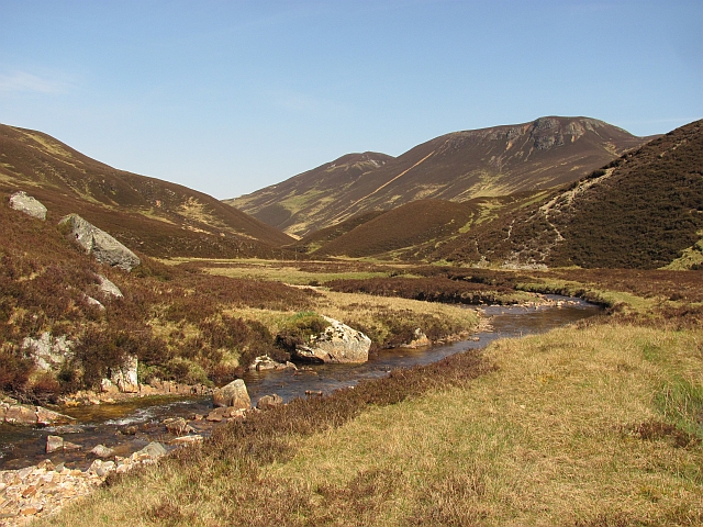
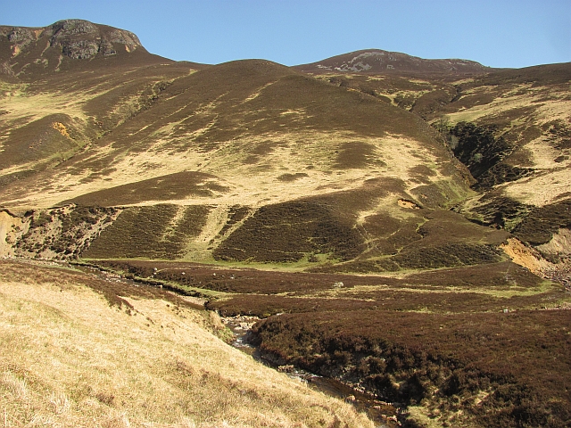
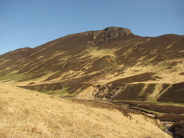
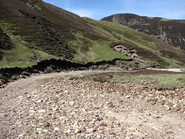
Sròn Lochain is a captivating landscape feature located in Perthshire, Scotland. It is a glacially carved, U-shaped valley nestled amidst the mesmerizing beauty of the Scottish Highlands. The serene valley is surrounded by towering mountains, adding to its dramatic charm.
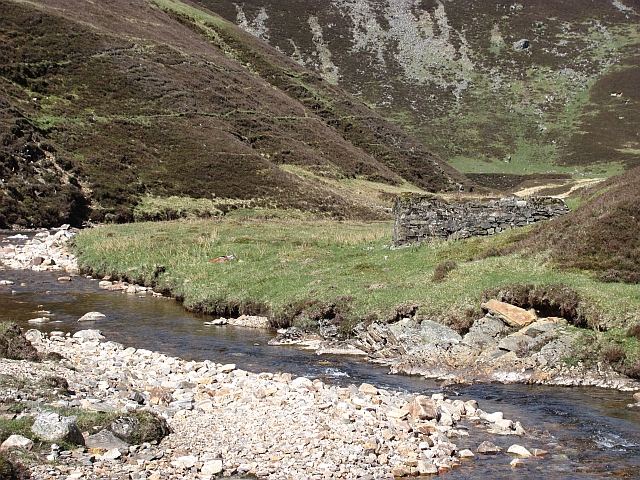
The valley stretches approximately 2 kilometers in length and is dotted with several small, picturesque lochans (lochs). These lochans, formed by the melting ice thousands of years ago, shimmer with crystal-clear waters reflecting the breathtaking scenery.
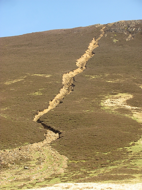
The landscape is dominated by the presence of Sròn, a prominent, rocky hill that rises steeply from the valley floor. Its rugged slopes, covered in heather and scattered with boulders, create a striking contrast against the soft hues of the surrounding vegetation.
The valley is home to a diverse range of flora and fauna, adding to its ecological significance. The lush vegetation consists of native species such as Scots pine, birch, and rowan trees, providing a haven for various bird species, including golden eagles and ospreys. The lochans support a rich aquatic ecosystem, hosting fish like trout and char, as well as various waterfowl.
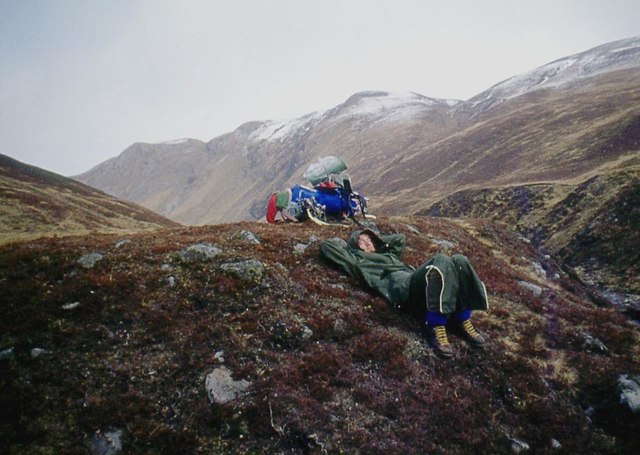
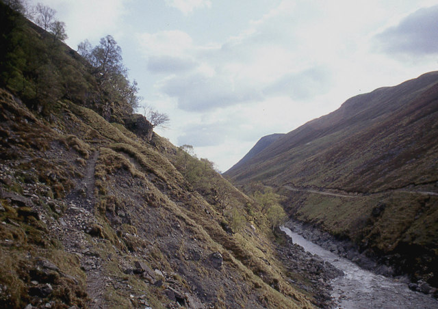
Visitors to Sròn Lochain can explore the valley through hiking trails that wind through the enchanting landscape. The valley offers stunning panoramic views from its higher vantage points, allowing visitors to immerse themselves in the unspoiled natural beauty that characterizes this remarkable landscape feature.
If you have any feedback on the listing, please let us know in the comments section below.
Sròn Lochain Images
Images are sourced within 2km of 56.876472/-3.6809087 or Grid Reference NN9777. Thanks to Geograph Open Source API. All images are credited.
Sròn Lochain is located at Grid Ref: NN9777 (Lat: 56.876472, Lng: -3.6809087)
Unitary Authority: Perth and Kinross
Police Authority: Tayside
What 3 Words
///detonated.migrants.timer. Near Blair Atholl, Perth & Kinross
Nearby Locations
Related Wikis
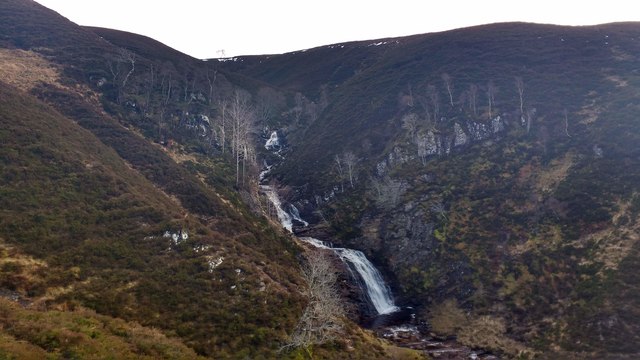
Falls of Tarf
The Falls of Tarf is a waterfall on the Tarf Water in the eastern Highlands of Scotland. Immediately downstream of the falls the Tarf is joined by a second...

Loch Loch
Loch Loch is a remote freshwater loch, located in Glen Loch in Perth and Kinross, some 9.5 miles north of Pitlochry, Scotland and is within the Forest...

Loch Tilt
Loch Tilt is a small mountain freshwater loch that sits at the end of Glen Tilt and is located in north-east Perth and Kinross, Scotland. Loch Tilt has...

Beinn a' Ghlò
Beinn a’ Ghlò is a Scottish mountain situated roughly 10 km (6 mi) north east of Blair Atholl in the Forest of Atholl in between Glen Tilt and Glen Loch...

Carn a' Chlamain
Càrn a' Chlamain (Gaelic: Càrn a' Chlamhain) is a Scottish mountain situated roughly 12 kilometres north of Blair Atholl in the Forest of Atholl. It is...

Beinn Iutharn Mhòr
Beinn Iutharn Mhor (1,045 m) is a mountain in the Grampian Mountains of Scotland. It lies north of Glen Shee on the Aberdeenshire and Perthshire border...

Glen Tilt
Glen Tilt (Scottish Gaelic: Gleann Teilt) is a glen in the extreme north of Perthshire, Scotland. Beginning at the confines of Aberdeenshire, it follows...

Glas Tulaichean
Glas Tulaichean (Scottish Gaelic: An Glas-Thulchan) is a large, complex mountain in the Mounth, Scotland. It is about 18 kilometres (11 mi) south of Braemar...
Have you been to Sròn Lochain?
Leave your review of Sròn Lochain below (or comments, questions and feedback).