Airy Point
Coastal Feature, Headland, Point in Devon North Devon
England
Airy Point
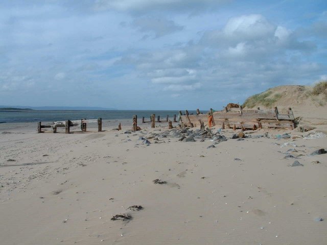
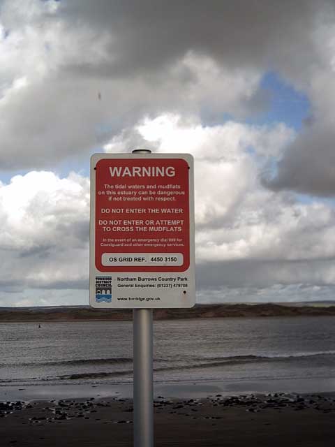
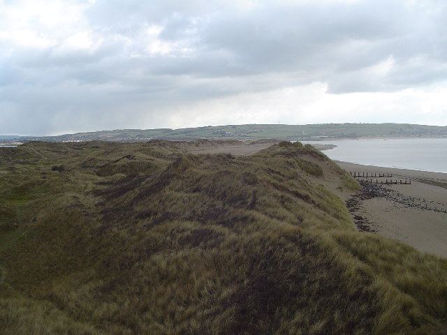
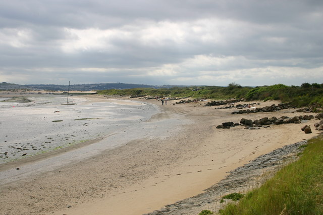
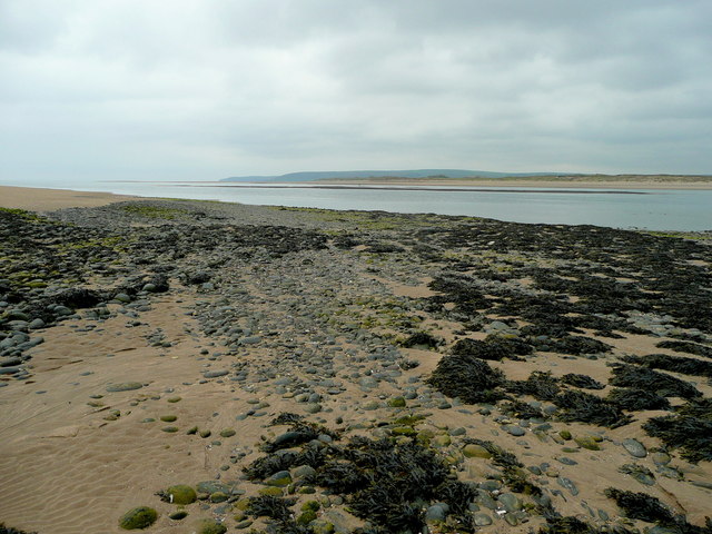
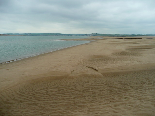
Airy Point is a prominent coastal feature located in Devon, England. It is classified as a headland and point due to its unique geographical characteristics. Situated along the southern coastline of Devon, Airy Point juts out into the English Channel, offering stunning views of the surrounding area.
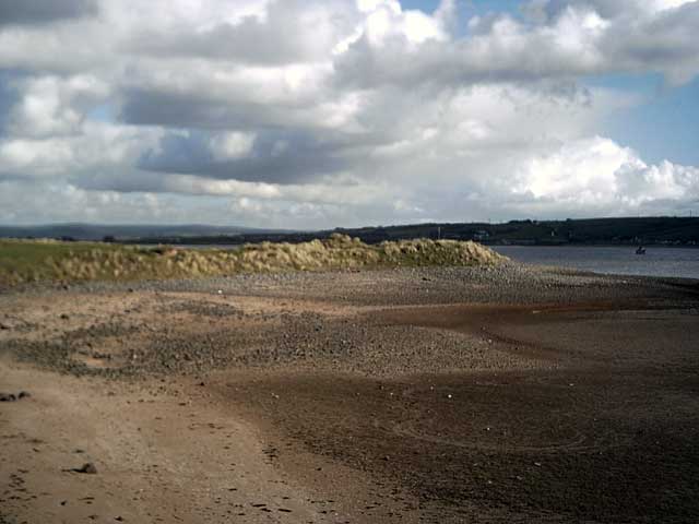
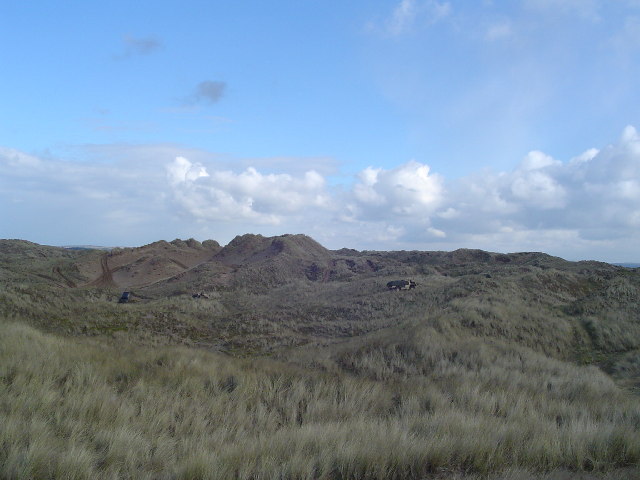
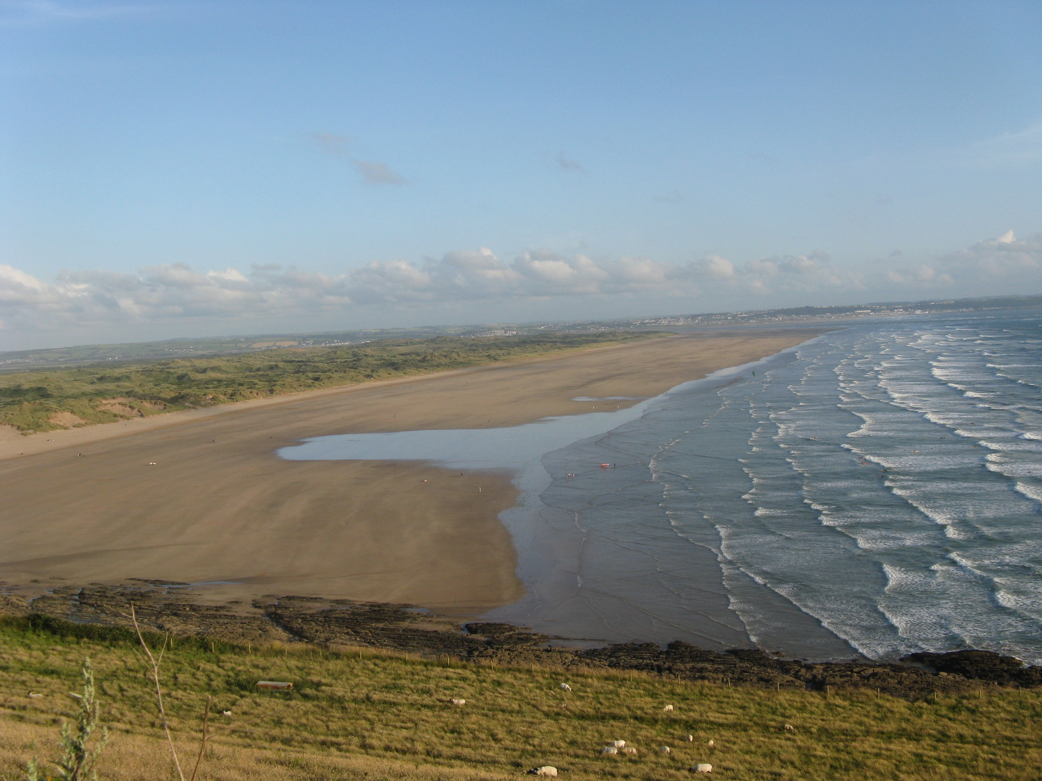
The headland is composed of rugged cliffs that have been shaped by the relentless action of the ocean over time. These cliffs rise dramatically from the sea, creating an impressive and picturesque landscape. The geology of the area consists primarily of limestone, which adds to the visual appeal of the headland, with its distinct layers and formations.
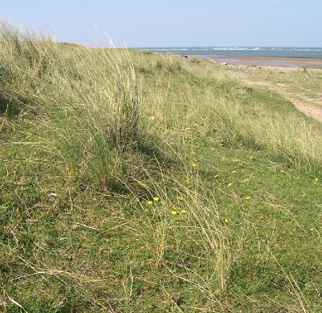
Airy Point is known for its diverse wildlife and rich marine ecosystem. The surrounding waters are home to a variety of fish species, making it a popular spot for recreational fishing. Birdwatchers frequent the area as well, as it serves as a nesting site for numerous seabirds, including gulls, cormorants, and puffins.
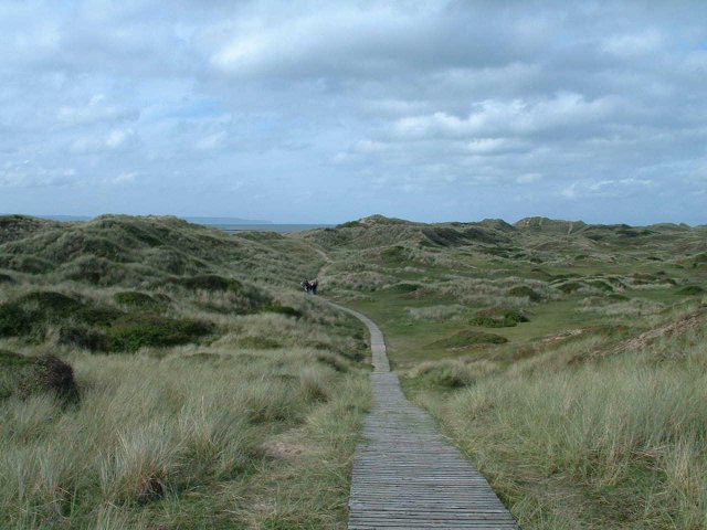
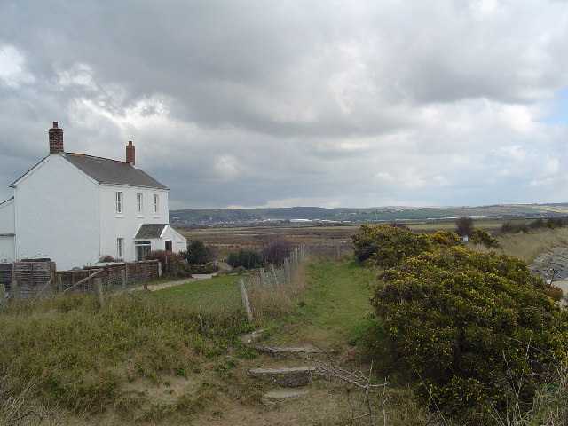
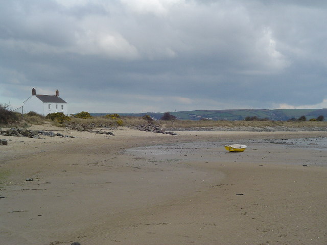
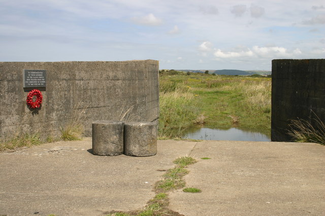
Visitors to Airy Point can explore the coastal path that runs along the headland, providing breathtaking views of the coastline and the open sea. The path offers opportunities for hiking and walking, allowing visitors to immerse themselves in the natural beauty of the area. Additionally, there are several lookout points along the path that offer panoramic views of the surrounding landscape.
Airy Point is a must-visit destination for nature enthusiasts and those seeking a tranquil retreat. Its rugged cliffs, diverse wildlife, and stunning views make it a captivating coastal feature that showcases the natural beauty of Devon's coastline.
If you have any feedback on the listing, please let us know in the comments section below.
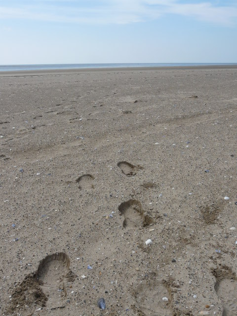
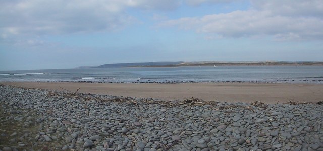
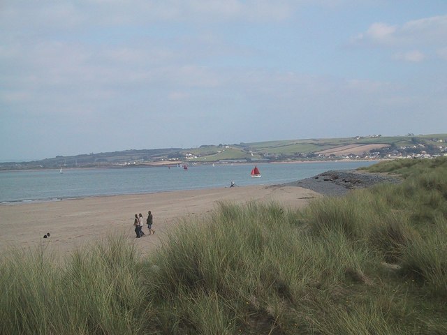
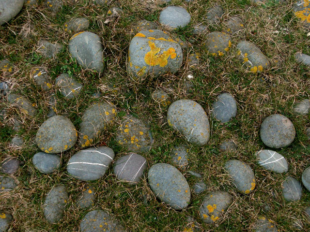
Airy Point Images
Images are sourced within 2km of 51.07602/-4.2148213 or Grid Reference SS4433. Thanks to Geograph Open Source API. All images are credited.
Airy Point is located at Grid Ref: SS4433 (Lat: 51.07602, Lng: -4.2148213)
Administrative County: Devon
District: North Devon
Police Authority: Devon and Cornwall
What 3 Words
///emporium.lots.typically. Near Appledore, Devon
Nearby Locations
Related Wikis
River Taw
The River Taw () rises at Taw Head, a spring on the central northern flanks of Dartmoor, crosses North Devon and at the town of Barnstaple, formerly a...

River Torridge
The River Torridge is a river in Devon in England; it rises near Meddon. The river describes a long loop through Devon farming country where its tributaries...
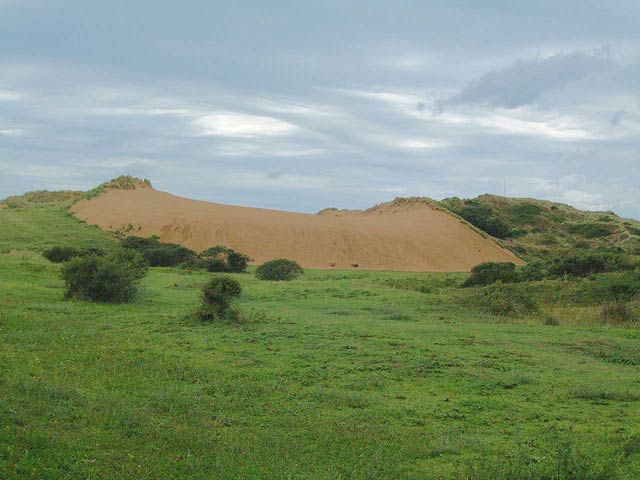
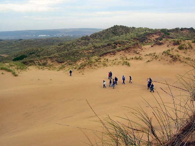
Braunton Burrows
Braunton Burrows is a sand dune system on the North Devon coast. It is privately owned and forms part of the Christie Devon Estates Trust (see Tapeley...

Appledore Lifeboat Station
Appledore Lifeboat Station is the base for Royal National Lifeboat Institution (RNLI) search and rescue operations at Appledore, Devon in the United Kingdom...
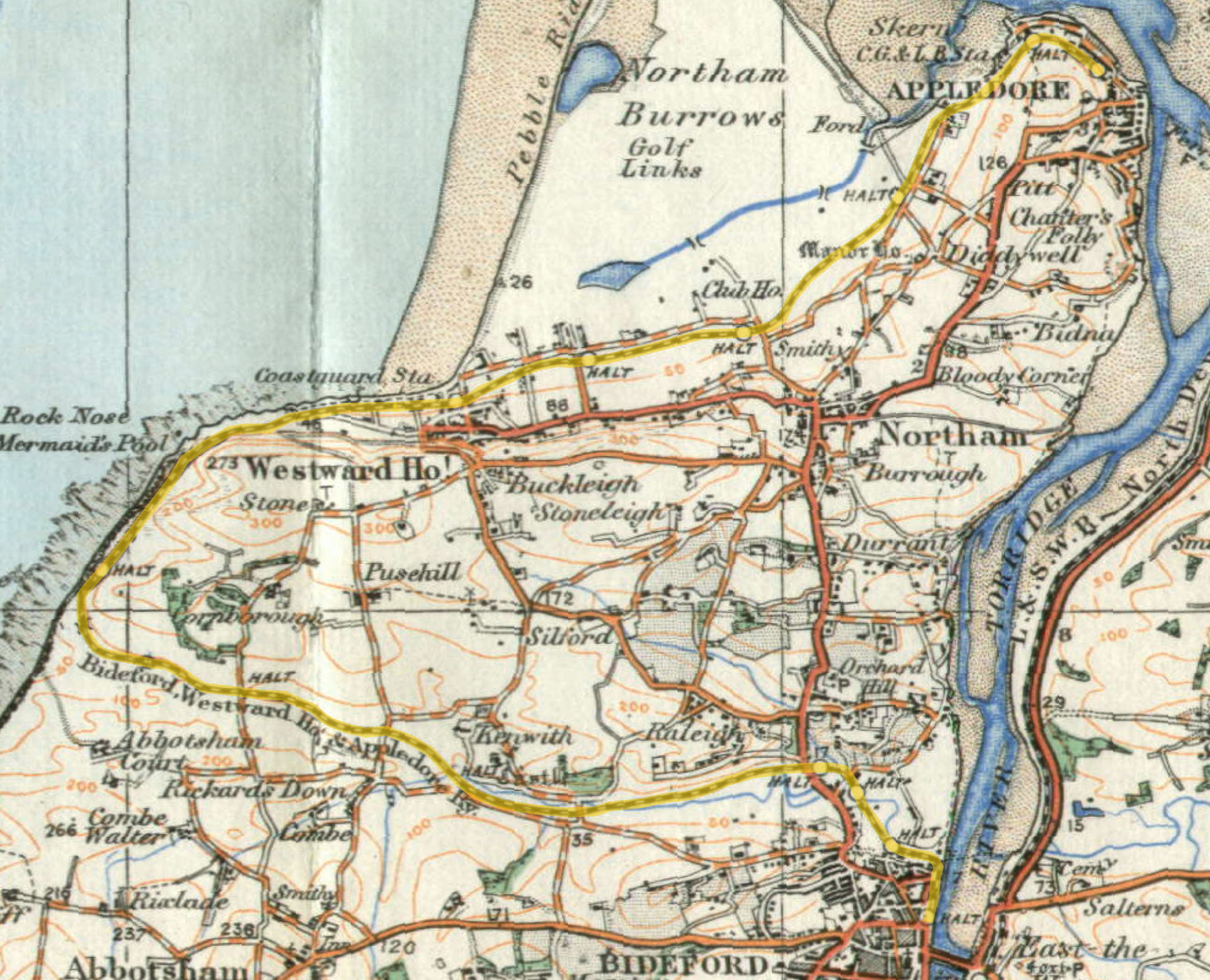
Lovers' Lane Halt railway station
Lovers' Lane Halt railway station was a minor railway station or halt in north Devon close to the town of Appledore, a community lying on the peninsula...

Appledore railway station (Devon)
Appledore railway station was a railway station in north Devon, situated close to the village of Appledore, a community lying on the peninsula formed by...
Saunton Sands
Saunton Sands is a beach near the English village of Saunton on the North Devon coast near Braunton, popular for longboard surfing. Beyond its southern...

St Mary's Church, Appledore
St Mary's Church is the parish church of Appledore. It sits on the Quay overlooking the River Torridge. The foundation stone of the church was laid in...
Nearby Amenities
Located within 500m of 51.07602,-4.2148213Have you been to Airy Point?
Leave your review of Airy Point below (or comments, questions and feedback).