Rubha Fhuar a' Chos

Landscape Feature in Stirlingshire

Scotland

Rubha Fhuar a' Chos

Loch Lomond Seaplane base G-MDJE ready for takeoff
Loch Lomond Seaplane base Credit: Alan Reid

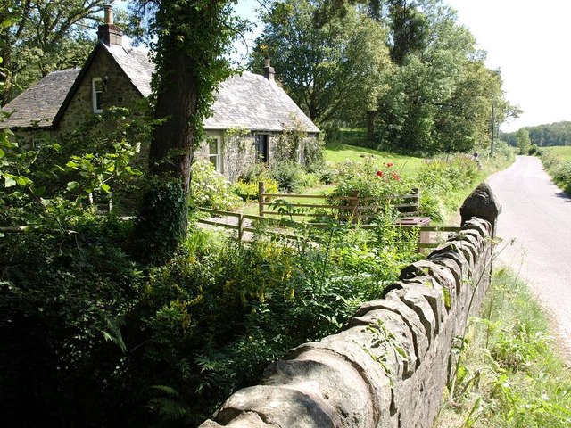
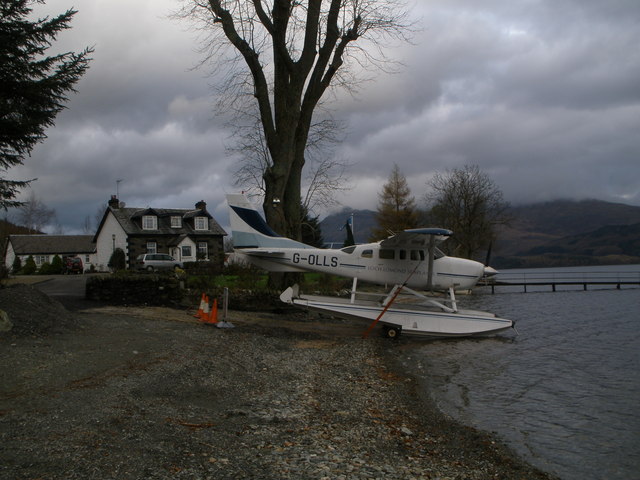
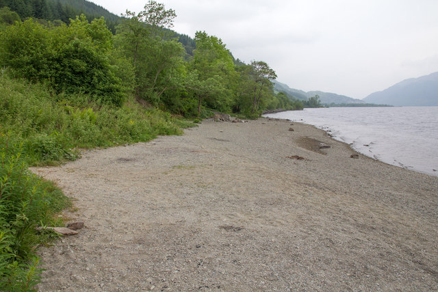
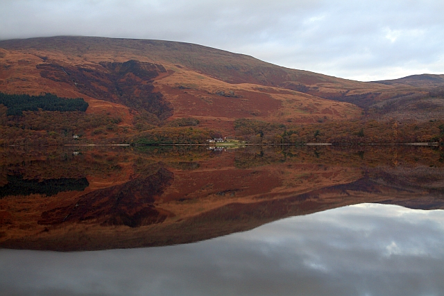
Rubha Fhuar a' Chos is a prominent landscape feature located in Stirlingshire, Scotland. Translated as "The Cold Foot Promontory," it is a rocky headland that juts out into the waters of Loch Lomond. The promontory is situated on the eastern shore of the loch, near the village of Inversnaid.

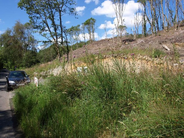
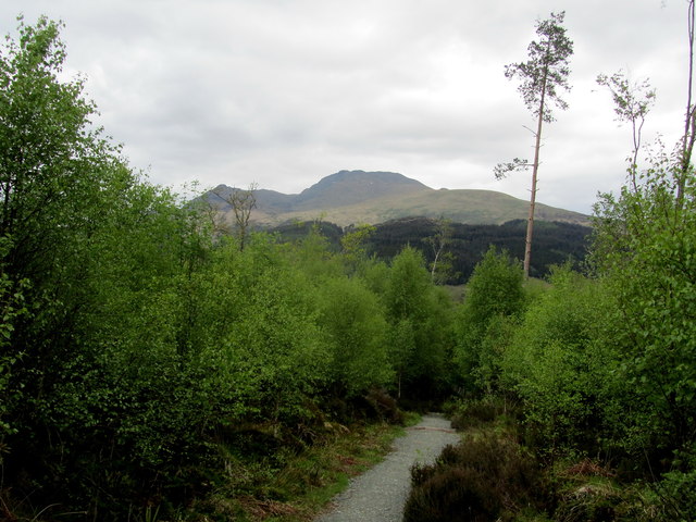
Characterized by its rugged terrain, Rubha Fhuar a' Chos offers breathtaking views of the surrounding landscape. The headland is covered in heather and grass, with scattered rocks and boulders adding to its natural beauty. The area is also home to a variety of flora and fauna, including wildflowers, birds, and small mammals.

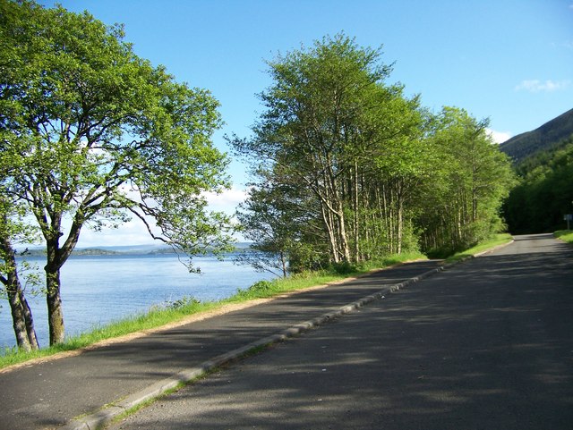
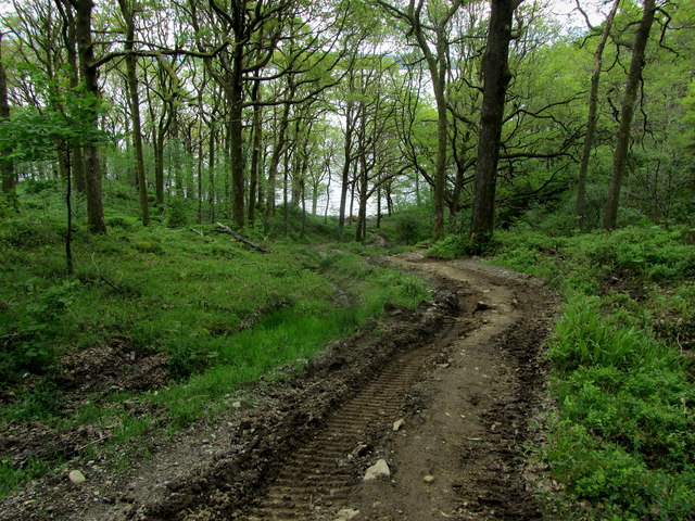
Visitors to Rubha Fhuar a' Chos can enjoy several walking trails that traverse the headland and provide access to the shoreline. These paths offer opportunities for exploration and photography, allowing visitors to capture the picturesque scenery and capture glimpses of the abundant wildlife.

The location's proximity to Loch Lomond adds to its appeal, as visitors can participate in various water activities such as boating, fishing, and swimming. The loch itself is renowned for its pristine waters and breathtaking views of the surrounding mountains.

Overall, Rubha Fhuar a' Chos is a must-visit destination for nature lovers and outdoor enthusiasts. Its dramatic landscape, combined with its tranquil ambiance and stunning views, make it an ideal location for those seeking a peaceful retreat in the heart of Stirlingshire.

If you have any feedback on the listing, please let us know in the comments section below.

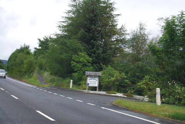
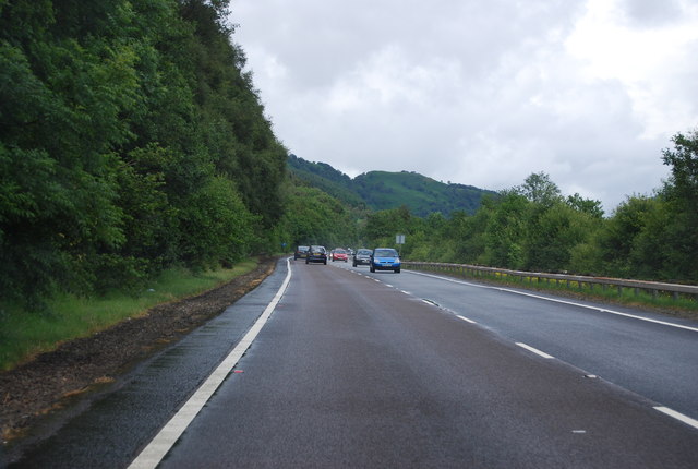
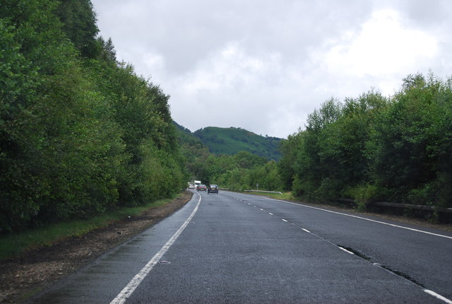
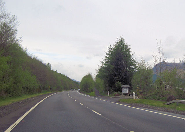
Rubha Fhuar a' Chos Images

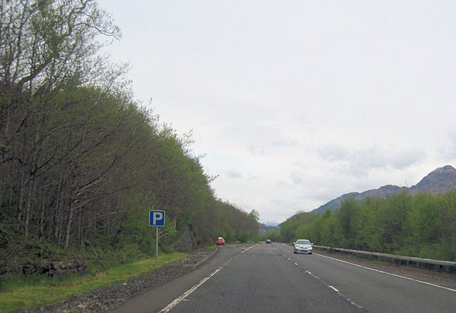
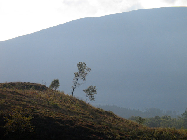
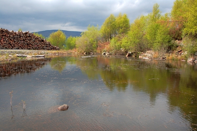
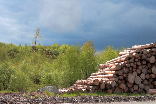
Images are sourced within 2km of 56.133285/-4.6295014 or Grid Reference NS3696. Thanks to Geograph Open Source API. All images are credited.

Loch Lomond Seaplane base G-MDJE ready for takeoff
Loch Lomond Seaplane base
G-MDJE ready for takeoff
Cottage on the road to Rowardennan
Forestry activity beside the Rowardennan road
Sea-plane on the banks of Loch Lomond at Culag
A82 The improved bit of the A82 on Loch Lomond. Things go worse north of Tarbet.
A82
The improved bit of the A82 on Loch Lomond. Things go worse north of Tarbet.
Entrance to Culag
Entrance to Culag
A82 The A82 is a trunk road in Scotland. It is the principal route from Lowland Scotland to the western Scottish Highlands, running from Glasgow to Inverness, going by Loch Lomond, Glen Coe, Fort William and the Great Glen. It is 167 miles long.
<span class="nowrap"><a title="https://www.sabre-roads.org.uk/wiki/index.php?title=A82" rel="nofollow ugc noopener" href="https://www.sabre-roads.org.uk/wiki/index.php?title=A82">Link</a><img style="margin-left:2px;" alt="External link" title="External link - shift click to open in new window" src="https://s1.geograph.org.uk/img/external.png" width="10" height="10"/></span>
A82
The A82 is a trunk road in Scotland. It is the principal route from Lowland Scotland to the western Scottish Highlands, running from Glasgow to Inverness, going by Loch Lomond, Glen Coe, Fort William and the Great Glen. It is 167 miles long. LinkExternal link
Entrance to Culag from A82
Lay By north of Culag
Young trees on Dun Maoil Dun Maoil is a minor rise within the Rowardennan Forest above the east side of Loch Lomond. The large dome beyond is on the west side of the loch - Ben Dubh.
Young trees on Dun Maoil
Dun Maoil is a minor rise within the Rowardennan Forest above the east side of Loch Lomond. The large dome beyond is on the west side of the loch - Ben Dubh.
Pond near Dun Maoil
Pond near Dun Maoil
Dun Maoil A small hillock, almost hidden by the trees.
Dun Maoil
A small hillock, almost hidden by the trees.
Shores of Loch Lomond A small pebbly beach area adjacent to a lay by on the A82.
Shores of Loch Lomond
A small pebbly beach area adjacent to a lay by on the A82.
View of Loch Lomond  at a Lay By north of Culag
View of Loch Lomond at a Lay By north of Culag
Layby on Northbound A82 A82 north of Culag.
Layby on Northbound A82
A82 north of Culag.
West Highland Way in Ross Wood (1) Resources being spent on upgrading the National Trail, seen here on a steep section in Ross Wood
West Highland Way in Ross Wood (1)
Resources being spent on upgrading the National Trail, seen here on a steep section in Ross Wood
West Highland Way in Ross Wood (2) Glimpses of Ben Lomond are sometimes available from the National Trail in Ross Wood
West Highland Way in Ross Wood (2)
Glimpses of Ben Lomond are sometimes available from the National Trail in Ross Wood
Show me another place!

Rubha Fhuar a' Chos is located at Grid Ref: NS3696 (Lat: 56.133285, Lng: -4.6295014)

Unitary Authority: Stirling

Police Authority: Forth Valley

What 3 Words

///redouble.teardrop.slug. Near Garelochhead, Argyll & Bute

Related Wikis

Ross Isles

The Ross Isles are two small islands in Loch Lomond, in west central Scotland. They lie opposite Luss, and are named after the promontory on the east shore...

Eilean nan Deargannan

Eilean nan Deargannan (sometimes written as Eilean Deargannan) is a small island in Loch Lomond, in west central Scotland. It lies between Rowardennan...

Inverbeg

Inverbeg is a settlement in Argyll and Bute, Scotland. Its Ordnance Survey grid reference is NS3497.It is on the western shore of Loch Lomond. There has...

Rowardennan

Rowardennan (Gaelic: Rubha Aird Eònain) is a small rural community on the eastern shore of Loch Lomond in Stirling council, Scotland. It is mainly known...

Nearby Amenities

Located within 500m of 56.133285,-4.6295014
Mill of Ross
Place: isolated_dwelling
Lat/Long: 56.1358463/-4.6266899
The data included in this document is from www.openstreetmap.org. The data is made available under ODbL.

Have you been to Rubha Fhuar a' Chos?

Leave your review of Rubha Fhuar a' Chos below (or comments, questions and feedback).