Ross Point

Coastal Feature, Headland, Point in Stirlingshire

Scotland

Ross Point

Loch Lomond Seaplane base G-MDJE ready for takeoff
Loch Lomond Seaplane base Credit: Alan Reid

Ross Point is a prominent coastal feature located in Stirlingshire, Scotland. It is a headland that juts out into the North Sea, offering breathtaking views and a compelling natural landscape. The point is situated at the mouth of the River Forth, where it meets the vast expanse of the ocean.

The headland is characterized by its rugged cliffs, which soar above the churning waters below. These cliffs are composed of sedimentary rock, displaying layers of different colors and textures, offering a glimpse into the geological history of the region. The elevation of the cliffs provides an advantageous vantage point, granting visitors unobstructed views of the surrounding area.

Ross Point is also known for its diverse wildlife. The surrounding waters are teeming with marine life, making it a popular spot for fishing enthusiasts. Seabirds, such as gulls and cormorants, can often be seen perching on the cliffs or gliding gracefully above the waves. The headland itself is covered in lush vegetation and grassy meadows, providing a habitat for various species of flora and fauna.

The point is easily accessible by foot, with a well-maintained coastal path leading visitors to its edge. Along the way, there are several viewpoints and picnic spots, allowing visitors to appreciate the natural beauty of the area while enjoying a leisurely stroll. Due to its location and geological significance, Ross Point is a popular destination for nature lovers, hikers, and photographers seeking to capture its rugged charm and stunning vistas.

If you have any feedback on the listing, please let us know in the comments section below.
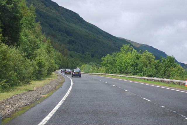
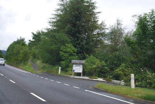
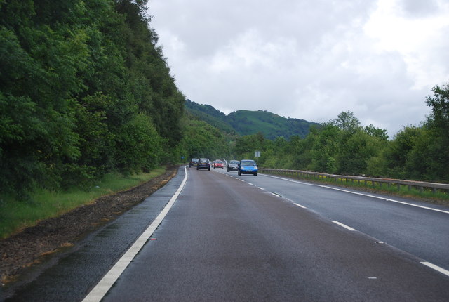
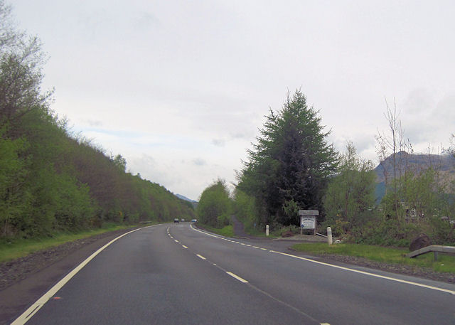
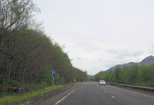
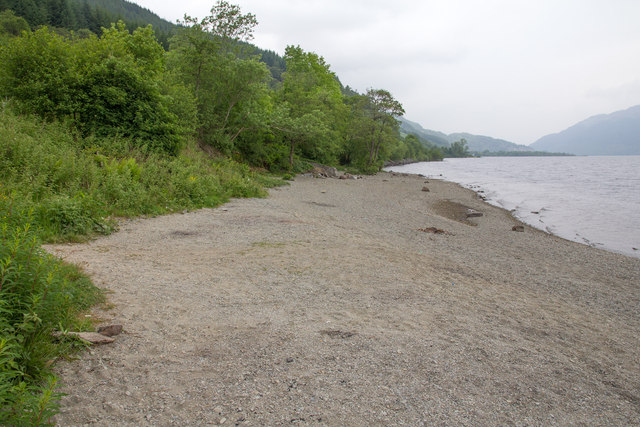
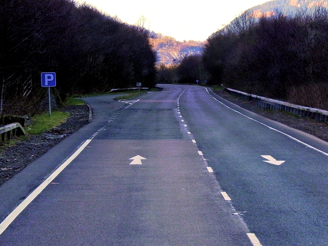
Ross Point Images

Images are sourced within 2km of 56.126279/-4.6301334 or Grid Reference NS3695. Thanks to Geograph Open Source API. All images are credited.

Loch Lomond Seaplane base G-MDJE ready for takeoff
Loch Lomond Seaplane base
G-MDJE ready for takeoff
Cottage on the road to Rowardennan
Forestry activity beside the Rowardennan road
Sea-plane on the banks of Loch Lomond at Culag
Rhu Wood Woodland on the west side of Loch Lomond, seen from the old alignment of the A82.
Rhu Wood
Woodland on the west side of Loch Lomond, seen from the old alignment of the A82.
Rhu Wood A path leaves a car park rather steeply. A possible route onto Mid Hill?
Rhu Wood
A path leaves a car park rather steeply. A possible route onto Mid Hill?
A82 by Loch Lomond The A82 is a trunk road in Scotland. It is the principal route from Lowland Scotland to the western Scottish Highlands, running from Glasgow to Inverness, going by Loch Lomond, Glen Coe, Fort William and the Great Glen. It is 167 miles long.
<span class="nowrap"><a title="https://www.sabre-roads.org.uk/wiki/index.php?title=A82" rel="nofollow ugc noopener" href="https://www.sabre-roads.org.uk/wiki/index.php?title=A82">Link</a><img style="margin-left:2px;" alt="External link" title="External link - shift click to open in new window" src="https://s1.geograph.org.uk/img/external.png" width="10" height="10"/></span>
A82 by Loch Lomond
The A82 is a trunk road in Scotland. It is the principal route from Lowland Scotland to the western Scottish Highlands, running from Glasgow to Inverness, going by Loch Lomond, Glen Coe, Fort William and the Great Glen. It is 167 miles long. LinkExternal link
A82 The A82 is a trunk road in Scotland. It is the principal route from Lowland Scotland to the western Scottish Highlands, running from Glasgow to Inverness, going by Loch Lomond, Glen Coe, Fort William and the Great Glen. It is 167 miles long.
<span class="nowrap"><a title="https://www.sabre-roads.org.uk/wiki/index.php?title=A82" rel="nofollow ugc noopener" href="https://www.sabre-roads.org.uk/wiki/index.php?title=A82">Link</a><img style="margin-left:2px;" alt="External link" title="External link - shift click to open in new window" src="https://s1.geograph.org.uk/img/external.png" width="10" height="10"/></span>
A82
The A82 is a trunk road in Scotland. It is the principal route from Lowland Scotland to the western Scottish Highlands, running from Glasgow to Inverness, going by Loch Lomond, Glen Coe, Fort William and the Great Glen. It is 167 miles long. LinkExternal link
Entrance to Culag
Entrance to Culag
A82 The A82 is a trunk road in Scotland. It is the principal route from Lowland Scotland to the western Scottish Highlands, running from Glasgow to Inverness, going by Loch Lomond, Glen Coe, Fort William and the Great Glen. It is 167 miles long.
<span class="nowrap"><a title="https://www.sabre-roads.org.uk/wiki/index.php?title=A82" rel="nofollow ugc noopener" href="https://www.sabre-roads.org.uk/wiki/index.php?title=A82">Link</a><img style="margin-left:2px;" alt="External link" title="External link - shift click to open in new window" src="https://s1.geograph.org.uk/img/external.png" width="10" height="10"/></span>
A82
The A82 is a trunk road in Scotland. It is the principal route from Lowland Scotland to the western Scottish Highlands, running from Glasgow to Inverness, going by Loch Lomond, Glen Coe, Fort William and the Great Glen. It is 167 miles long. LinkExternal link
North east view from Luss beach Snow capped Ben Lomond in background
North east view from Luss beach
Snow capped Ben Lomond in background
A82 passing lay by at Culag plantation Ben Lomond can be seen across Loch Lomond
A82 passing lay by at Culag plantation
Ben Lomond can be seen across Loch Lomond
A82 by Loch Lomond Bend by Dun Mor
A82 by Loch Lomond
Bend by Dun Mor
A82 approaching Culag
Entrance to Culag from A82
Lay By north of Culag
Shores of Loch Lomond A small pebbly beach area adjacent to a lay by on the A82.
Shores of Loch Lomond
A small pebbly beach area adjacent to a lay by on the A82.
Layby on Northbound A82 A82 north of Culag.
Layby on Northbound A82
A82 north of Culag.
Show me another place!

Ross Point is located at Grid Ref: NS3695 (Lat: 56.126279, Lng: -4.6301334)

Unitary Authority: Stirling

Police Authority: Forth Valley

What 3 Words

///dentures.waged.land. Near Garelochhead, Argyll & Bute

Nearby Locations

Pilot Bay Ross Point

Related Wikis

Ross Isles

The Ross Isles are two small islands in Loch Lomond, in west central Scotland. They lie opposite Luss, and are named after the promontory on the east shore...

West Loch Lomond Cycle Path

The West Loch Lomond Cycle Path is a cycle path that runs from Arrochar and Tarbet railway station, at the upper end of Loch Lomond in Scotland, to Balloch...

Thistle Cottage

Thistle Cottage is a building in Luss, Argyll and Bute, Scotland. A Category C listed cottage dating to the late 19th century, it overlooks the western...

Inchlonaig

Inchlonaig is an island in Loch Lomond in Scotland. == Geography and geology == Inchlonaig is the most northerly of the larger islands in the Loch Lomond...

Related Videos

Thru-Hiking the West Highland Way with my Dog: Rowardennan to Tyndrum | The hardest bit?!

In March of 2024, Otto and I thru-hiked the West Highland Way in Scotland, one of the most famous long-distance trails in the UK.

Hiking along LOCH LOMOND, Scotland (we found a RED SQUIRREL!) - Nature Diaries

Hi Conservation Crew! After Laura had a case of the dreaded C word, we are on our jollies and back out in nature! Join us as we ...

117 Miles on The West Highland Way: Day 2 - Solo Hiking & Wild Camping 4K

Day 2 of the 10 day, 117 mile hike through the Scottish highlands. July 19th, I woke up to the glorious morning light in my tent and ...

Beautiful Loch Lomond | Scotland | Family Travel Vlog

We visited Loch Lomond and The Trossachs in Scotland. Loch Lomond is famous for its stunning scenery, mountains, lochs, and ...

Nearby Amenities

Located within 500m of 56.126279,-4.6301334
Ross Point
Place: locality
Lat/Long: 56.1247213/-4.6333947
The data included in this document is from www.openstreetmap.org. The data is made available under ODbL.

Have you been to Ross Point?

Leave your review of Ross Point below (or comments, questions and feedback).