Àird Rubha Mhadaidh
Landscape Feature in Argyllshire
Scotland
Àird Rubha Mhadaidh

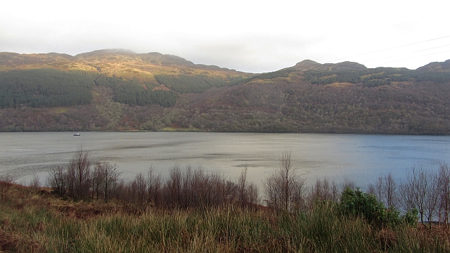
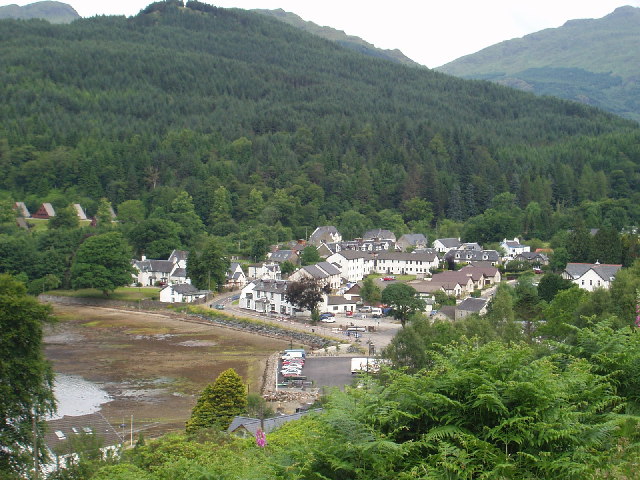
Àird Rubha Mhadaidh is a picturesque landscape feature located in Argyllshire, Scotland. It is situated on the western coast of the country, overlooking the scenic waters of the Atlantic Ocean. The name Àird Rubha Mhadaidh translates to "Fox Point" in English, hinting at the wildlife that can be found in this area.
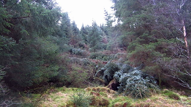
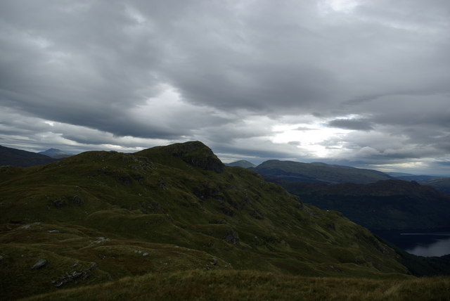
The landscape of Àird Rubha Mhadaidh is characterized by rugged cliffs and rocky outcrops that jut out into the sea. These cliffs provide breathtaking views of the surrounding coastline and the open ocean, making it a popular spot for nature enthusiasts and photographers.
The area is also known for its diverse flora and fauna. The cliffs are home to various seabirds, including gulls, puffins, and fulmars, which nest in the crevices and ledges. Seals can often be spotted basking on the rocks, and if lucky, visitors may even catch a glimpse of dolphins or whales swimming offshore.
In addition to its natural beauty, Àird Rubha Mhadaidh holds historical significance. The ruins of an ancient fort can be found on the headland, dating back to the Iron Age. These remnants offer a glimpse into the region's past and provide an opportunity for visitors to connect with history.
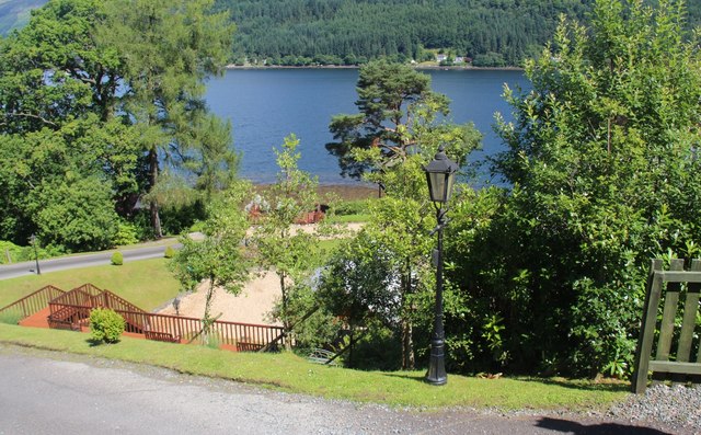
Overall, Àird Rubha Mhadaidh is a captivating landscape feature that showcases the rugged beauty and rich biodiversity of Argyllshire. Whether it is admiring the stunning views, observing the wildlife, or exploring the ancient ruins, this location offers a truly unforgettable experience for all who visit.
If you have any feedback on the listing, please let us know in the comments section below.
Àird Rubha Mhadaidh Images
Images are sourced within 2km of 56.146279/-4.900957 or Grid Reference NS1998. Thanks to Geograph Open Source API. All images are credited.


Àird Rubha Mhadaidh is located at Grid Ref: NS1998 (Lat: 56.146279, Lng: -4.900957)
Unitary Authority: Argyll and Bute
Police Authority: Argyll and West Dunbartonshire
What 3 Words
///autumn.embarks.teaching. Near Garelochhead, Argyll & Bute
Nearby Locations
Related Wikis
Cruach nam Miseag
Cruach nam Miseag is a mountain near Lochgoilhead within the Arrochar Alps, Scotland. It reaches a height of 606 m (1989 ft). It is located at NS182981...

Loch Goil
Loch Goil; (Scottish Gaelic: Loch Goil) is a small sea loch forming part of the coast of the Cowal peninsula in Argyll and Bute, Scotland. The sea loch...

The Steeple (Lochgoilhead)
The Steeple is a small Mountain in the Ardgoil Peninsula and Arrochar Alps behind the village of Lochgoilhead within Loch Lomond and the Trossachs National...
Tom nan Gamhna
Tom nan Gamhna is a mountain within the Ardgoil Peninsula and Arrochar Alps near Lochgoilhead in Argyll, Scottish Highlands. The mountain reaches a height...
Tom Molach
Tom Molach is a peak within the Ardgoil Peninsula and Arrochar Alps near Lochgoilhead in Argyll, Scotland. The peak reaches a height of 370 metres (1,210...
Lochgoilhead
Lochgoilhead (Scottish Gaelic: Ceann Loch Goibhle, IPA:[ˈkʰʲaun̴̪ˈɫ̪ɔxˈkɤilə]) is a village on the Cowal peninsula, in Argyll and Bute, Scottish Highlands...
The Saddle (Lochgoilhead)
The Saddle is a mountain near Lochgoilhead in The Ardgoil Peninsula in Argyll. It reaches a height of 521m and is in the Arrochar Alps.

Beinn Reithe
Beinn Reithe is a mountain in Argyll in the Scottish Highlands and forms part of the Ardgoil Peninsula and Arrochar Alps. Beinn Reithe is located between...
Nearby Amenities
Located within 500m of 56.146279,-4.900957Have you been to Àird Rubha Mhadaidh?
Leave your review of Àird Rubha Mhadaidh below (or comments, questions and feedback).