Rubha Calltuinn
Landscape Feature in Argyllshire
Scotland
Rubha Calltuinn
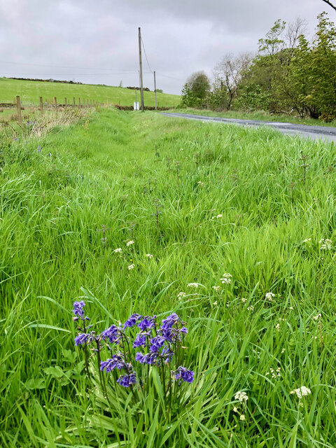
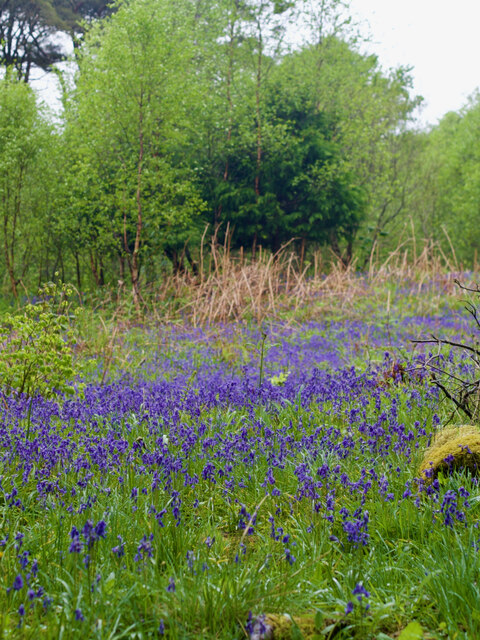
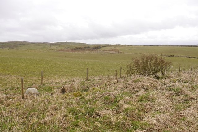
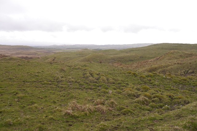
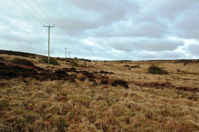
Rubha Calltuinn, also known as Point Calltuinn, is a captivating landscape feature located in Argyllshire, Scotland. Situated on the west coast of Scotland, this prominent headland extends into the waters of the Atlantic Ocean. Rubha Calltuinn is characterized by its rugged and dramatic cliffs, which rise dramatically from the sea, creating a breathtaking sight.
The headland is predominantly composed of ancient rocks, including metamorphic and igneous formations, which provide a rich geological history. These rocks have been shaped over millions of years by erosive forces such as wind and water, resulting in the striking cliffs that can be observed today.
The area is renowned for its abundant wildlife, making it a popular destination for nature enthusiasts. Visitors have the opportunity to spot a variety of seabirds, including gannets, puffins, and razorbills, nesting on the rocky ledges. The surrounding waters are also home to seals and dolphins, which can occasionally be seen swimming close to the shore.
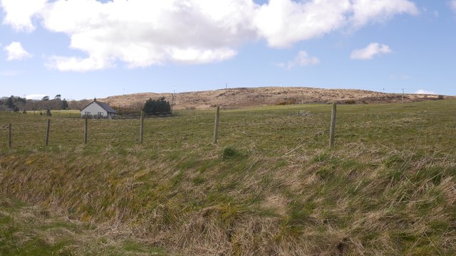
In addition to its natural beauty, Rubha Calltuinn offers stunning panoramic views of the surrounding coastline and islands. On clear days, visitors can enjoy vistas of the nearby Isle of Mull and the distant peaks of the Inner Hebrides.
Overall, Rubha Calltuinn is a captivating landscape feature that combines dramatic cliffs, diverse wildlife, and breathtaking views. Its unique geological formations and natural beauty make it a must-visit destination for those exploring the rugged beauty of Argyllshire.
If you have any feedback on the listing, please let us know in the comments section below.
Rubha Calltuinn Images
Images are sourced within 2km of 55.819516/-6.1385016 or Grid Reference NR4066. Thanks to Geograph Open Source API. All images are credited.
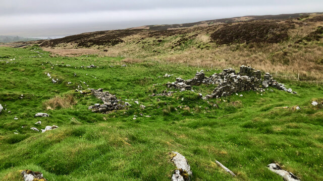
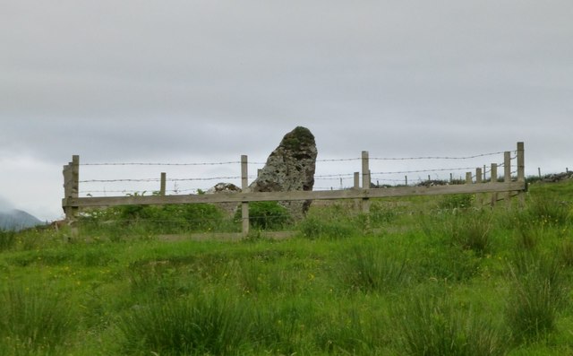
![Site of 18th-century illicit distillery Not quite sure exactly which building but recorded on Canmore.org.uk. Islay, Ballygrant | Canmore. Available online at: <span class="nowrap"><a title="https://canmore.org.uk/site/79738/islay-ballygrant" rel="nofollow ugc noopener" href="https://canmore.org.uk/site/79738/islay-ballygrant">Link</a><img style="margin-left:2px;" alt="External link" title="External link - shift click to open in new window" src="https://s1.geograph.org.uk/img/external.png" width="10" height="10"/></span> [Accessed 29 May 2022].](https://s1.geograph.org.uk/geophotos/07/18/55/7185505_6f6f6b11.jpg)
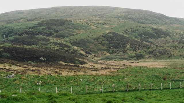
![Building (Period Unassigned) Not sure is recorded for this pair of ruins. For further info. see Canmore.org.uk. Islay, Kilslevan | Canmore. Available online at: <span class="nowrap"><a title="https://canmore.org.uk/site/155645/islay-kilslevan" rel="nofollow ugc noopener" href="https://canmore.org.uk/site/155645/islay-kilslevan">Link</a><img style="margin-left:2px;" alt="External link" title="External link - shift click to open in new window" src="https://s1.geograph.org.uk/img/external.png" width="10" height="10"/></span> [Accessed 29 May 2022].](https://s1.geograph.org.uk/geophotos/07/18/55/7185525_f2eb2f38.jpg)
![Building (Period Unassigned) Not sure is recorded for this pair of ruins. For further info. see Canmore.org.uk. Islay, Kilslevan | Canmore. Available online at: <span class="nowrap"><a title="https://canmore.org.uk/site/155645/islay-kilslevan" rel="nofollow ugc noopener" href="https://canmore.org.uk/site/155645/islay-kilslevan">Link</a><img style="margin-left:2px;" alt="External link" title="External link - shift click to open in new window" src="https://s1.geograph.org.uk/img/external.png" width="10" height="10"/></span> [Accessed 29 May 2022].](https://s2.geograph.org.uk/geophotos/07/18/55/7185538_ab35b0f3.jpg)
Rubha Calltuinn is located at Grid Ref: NR4066 (Lat: 55.819516, Lng: -6.1385016)
Unitary Authority: Argyll and Bute
Police Authority: Argyll and West Dunbartonshire
What 3 Words
///bulky.firms.overtime. Near Ballygrant, Argyll & Bute
Nearby Locations
Related Wikis

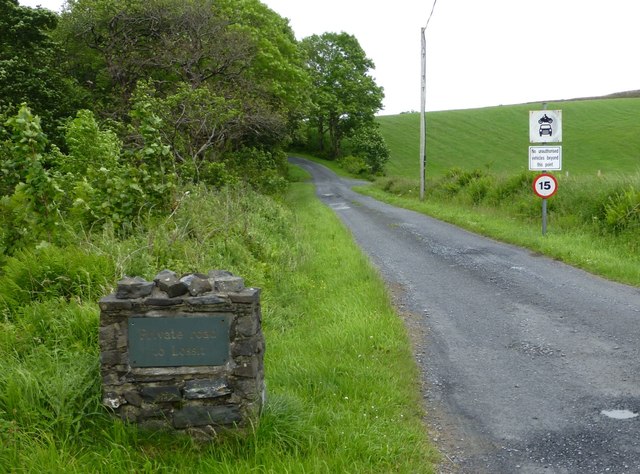
Ballygrant
Ballygrant (Scottish Gaelic: Baile a' Ghràna) is a small village on the Inner Hebrides island of Islay of the western coast of Scotland. The village is...

Dun Guaidhre
Dun Guaidhre, also known as Dùn Ghùaidhre, is an Iron Age fort southwest of Kilmeny, Islay, Scotland. It is protected as a scheduled monument. Local tradition...

Finlaggan
Finlaggan (NR 388 680, Scottish Gaelic: Port an Eilein) is a historic site on Eilean Mòr in Loch Finlaggan. The Loch, the island, and Finlaggan Castle...

Dunlossit House
Dunlossit House is a Category C listed country house near Port Askaig, Islay in the county of Argyll, in western Scotland.. == History and architecture... ==
Nearby Amenities
Located within 500m of 55.819516,-6.1385016Have you been to Rubha Calltuinn?
Leave your review of Rubha Calltuinn below (or comments, questions and feedback).