Loch nan Cadhan

Lake, Pool, Pond, Freshwater Marsh in Argyllshire

Scotland

Loch nan Cadhan

Verge on road to Lossit Lodge
Verge on road to Lossit Lodge Credit: Mick Garratt

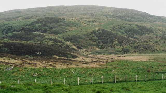
Loch nan Cadhan, located in Argyllshire, Scotland, is a picturesque freshwater body that can be classified as a lake or a loch. This serene water feature is nestled amidst the stunning natural beauty of the region, surrounded by rolling hills and lush greenery.

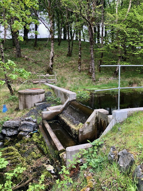
With a surface area of approximately [insert size], Loch nan Cadhan is a relatively small yet enchanting water body. It is fed by several small streams and springs that flow down from the nearby hills, ensuring a constant supply of fresh water. The lake is also home to an array of aquatic flora and fauna, making it a haven for nature enthusiasts and wildlife lovers alike.

The tranquil waters of Loch nan Cadhan provide an ideal habitat for various species of fish, including trout and salmon. Anglers are often drawn to the lake for its abundant fishing opportunities. Additionally, the lake's calm and clear waters offer a perfect setting for water sports such as kayaking and canoeing, attracting outdoor enthusiasts seeking a thrilling adventure.

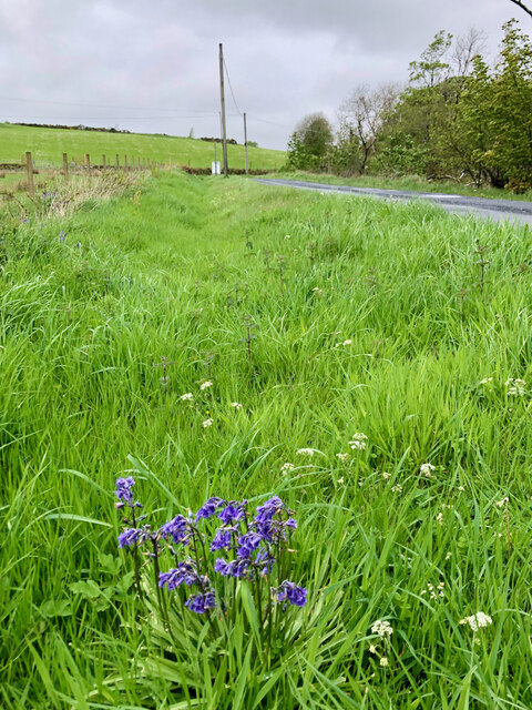
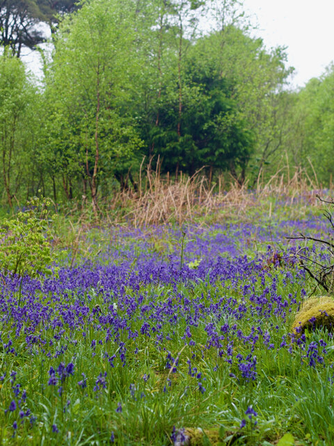
Surrounding the lake, there is a freshwater marsh that serves as a vital ecosystem for many wetland species. This marshland features a diverse range of plant life, including reeds, sedges, and water lilies. It provides a nesting ground for numerous bird species, including ducks, swans, and herons, making it a popular spot for birdwatching.

Overall, Loch nan Cadhan is a hidden gem in the heart of Argyllshire, offering a tranquil escape and a chance to immerse oneself in the beauty of Scotland's natural landscapes. Whether it's fishing, birdwatching, or simply enjoying the serenity of the surroundings, this freshwater lake has something to offer for everyone.

If you have any feedback on the listing, please let us know in the comments section below.

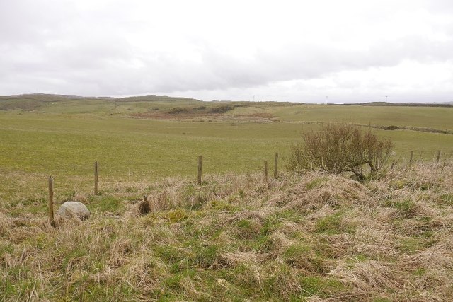
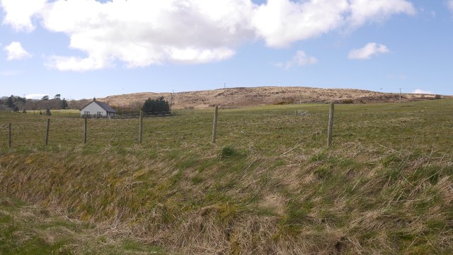
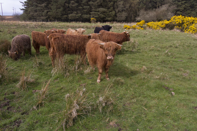
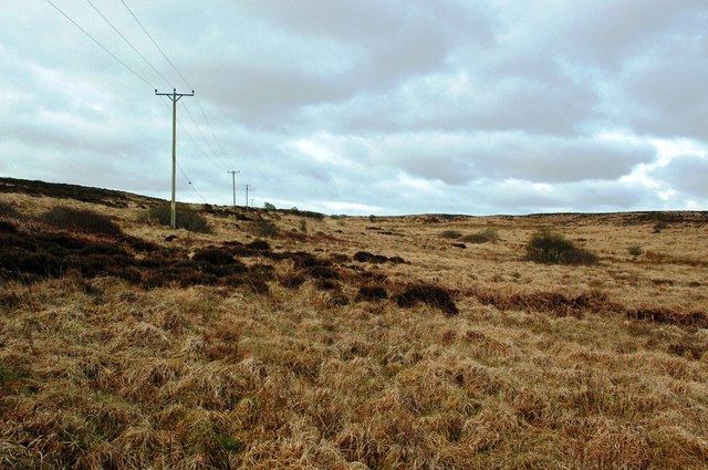
Loch nan Cadhan Images

Images are sourced within 2km of 55.824512/-6.1455674 or Grid Reference NR4066. Thanks to Geograph Open Source API. All images are credited.
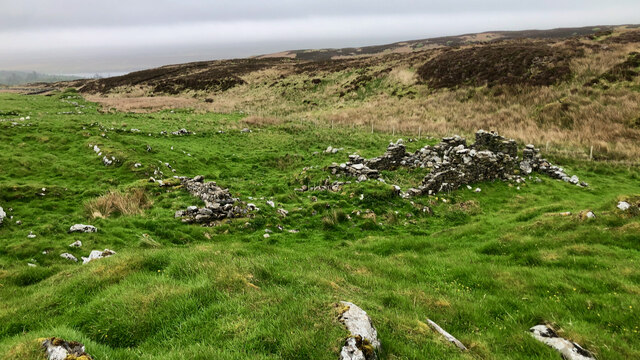
Verge on road to Lossit Lodge
Site of 18th-century illicit distillery Not quite sure exactly which building but recorded on Canmore.org.uk. Islay, Ballygrant | Canmore. Available online at: <span class="nowrap"><a title="https://canmore.org.uk/site/79738/islay-ballygrant" rel="nofollow ugc noopener" href="https://canmore.org.uk/site/79738/islay-ballygrant">Link</a><img style="margin-left:2px;" alt="External link" title="External link - shift click to open in new window" src="https://s1.geograph.org.uk/img/external.png" width="10" height="10"/></span> [Accessed 29 May 2022].
Site of 18th-century illicit distillery
Not quite sure exactly which building but recorded on Canmore.org.uk. Islay, Ballygrant | Canmore. Available online at: LinkExternal link [Accessed 29 May 2022].
Woodland track
Woodland track
Bluebells, Ballygrant Wood
Building (Period Unassigned) Not sure is recorded for this pair of ruins. For further info. see Canmore.org.uk. Islay, Kilslevan | Canmore. Available online at: <span class="nowrap"><a title="https://canmore.org.uk/site/155645/islay-kilslevan" rel="nofollow ugc noopener" href="https://canmore.org.uk/site/155645/islay-kilslevan">Link</a><img style="margin-left:2px;" alt="External link" title="External link - shift click to open in new window" src="https://s1.geograph.org.uk/img/external.png" width="10" height="10"/></span> [Accessed 29 May 2022].
Building (Period Unassigned)
Not sure is recorded for this pair of ruins. For further info. see Canmore.org.uk. Islay, Kilslevan | Canmore. Available online at: LinkExternal link [Accessed 29 May 2022].
Kilslevan deserted village The remains of deserted houses and settlements are common throughout the whole of Scotland, Islay is no exception.

Kilslevan seems to have once been a township of at least eight longhouses, and several other buildings, enclosures and two corn-drying kilns although these are hard to discern under the grass and moss. There are the ruins of a rudimentary chapel nearby. Close by too, is an old lead mine, although it is not clear if this was related to the village.

Its Gaelic name is Cill Sléibleainn meaning St. Slevan’s Church.

The village was abandoned in the later half of 19th century. One local source refers to a claim that it was “a plague village”. Perhaps not ‘the’ plague but an epidemic of some sort may well have reduced the population for it to become unsustainable

We are fortunate that the 1836 Islay Tenants Rental List has been transcribed and made available online Under Kilslevan, seven tenants are listed :—

Ronald McDougall
Alexander Campbell
Archibald Currie (Black)
Archibald Currie (fair)
Archibald McDougall
Alexander Currie
Hugh Currie
Another source gives the population as 67 in the 1841 census, and 55 in the 1851. There must have been big multi-generational families in those days. Abandonment must have taken place sometime in the following decades.

For references see my blog <span class="nowrap"><a title="http://www.fhithich.uk/?p=28118" rel="nofollow ugc noopener" href="http://www.fhithich.uk/?p=28118">Link</a><img style="margin-left:2px;" alt="External link" title="External link - shift click to open in new window" src="https://s1.geograph.org.uk/img/external.png" width="10" height="10"/></span>
Kilslevan deserted village
The remains of deserted houses and settlements are common throughout the whole of Scotland, Islay is no exception. Kilslevan seems to have once been a township of at least eight longhouses, and several other buildings, enclosures and two corn-drying kilns although these are hard to discern under the grass and moss. There are the ruins of a rudimentary chapel nearby. Close by too, is an old lead mine, although it is not clear if this was related to the village. Its Gaelic name is Cill Sléibleainn meaning St. Slevan’s Church. The village was abandoned in the later half of 19th century. One local source refers to a claim that it was “a plague village”. Perhaps not ‘the’ plague but an epidemic of some sort may well have reduced the population for it to become unsustainable We are fortunate that the 1836 Islay Tenants Rental List has been transcribed and made available online Under Kilslevan, seven tenants are listed :— Ronald McDougall Alexander Campbell Archibald Currie (Black) Archibald Currie (fair) Archibald McDougall Alexander Currie Hugh Currie Another source gives the population as 67 in the 1841 census, and 55 in the 1851. There must have been big multi-generational families in those days. Abandonment must have taken place sometime in the following decades. For references see my blog LinkExternal link
Dùn Bhoraraic
Dùn Bhoraraic
Water catchment station
End/Start road to Finlaggan
Cafe, Ballygrant Once the post office.
Cafe, Ballygrant
Once the post office.
Ballygrant The A846 heading for Port Askaig.
Ballygrant
The A846 heading for Port Askaig.
Fields by Ballygrant Farmland in a lime rich part of Islay.
Fields by Ballygrant
Farmland in a lime rich part of Islay.
Field by Ballygrant Beside the road to Port Askaig.
Field by Ballygrant
Beside the road to Port Askaig.
Highland Cattle on Islay There are several small herds of Highland Cattle on Islay.
Highland Cattle on Islay
There are several small herds of Highland Cattle on Islay.
Robolls Moorland Moorland on the edge of Robolls Hill, viewed in mid-April with the land still in winter colours.
Robolls Moorland
Moorland on the edge of Robolls Hill, viewed in mid-April with the land still in winter colours.
Private road to Lossit But leading to a pleasant walk through the woods to Loch Ballygrant.
Private road to Lossit
But leading to a pleasant walk through the woods to Loch Ballygrant.
Track to Loch Ballygrant
Show me another place!

Loch nan Cadhan is located at Grid Ref: NR4066 (Lat: 55.824512, Lng: -6.1455674)

Unitary Authority: Argyll and Bute

Police Authority: Argyll and West Dunbartonshire

What 3 Words

///mammals.additives.exploring. Near Ballygrant, Argyll & Bute

Related Wikis

Ballygrant

Ballygrant (Scottish Gaelic: Baile a' Ghràna) is a small village on the Inner Hebrides island of Islay of the western coast of Scotland. The village is...

Finlaggan

Finlaggan (NR 388 680, Scottish Gaelic: Port an Eilein) is a historic site on Eilean Mòr in Loch Finlaggan. The Loch, the island, and Finlaggan Castle...

Dun Guaidhre

Dun Guaidhre, also known as Dùn Ghùaidhre, is an Iron Age fort southwest of Kilmeny, Islay, Scotland. It is protected as a scheduled monument.Local tradition...

Dunlossit House

Dunlossit House is a Category C listed country house near Port Askaig, Islay in the county of Argyll, in western Scotland.. == History and architecture... ==

Nearby Amenities

Located within 500m of 55.824512,-6.1455674
Power: pole
Lat/Long: 55.8226904/-6.1519697
Power: pole
Lat/Long: 55.8262244/-6.1499751
Power: pole
Lat/Long: 55.8284413/-6.1487658
The data included in this document is from www.openstreetmap.org. The data is made available under ODbL.

Have you been to Loch nan Cadhan?

Leave your review of Loch nan Cadhan below (or comments, questions and feedback).