Loch Ballygrant

Lake, Pool, Pond, Freshwater Marsh in Argyllshire

Scotland

Loch Ballygrant

Verge on road to Lossit Lodge
Verge on road to Lossit Lodge Credit: Mick Garratt

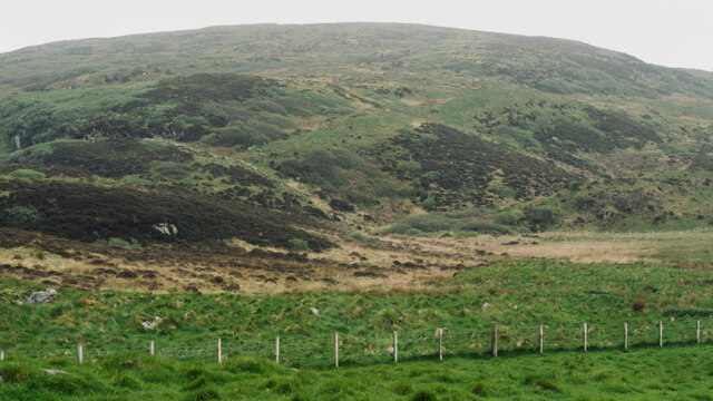
Loch Ballygrant is a picturesque freshwater loch located in the region of Argyllshire, Scotland. Nestled amidst the stunning landscape of the Scottish Highlands, the loch is surrounded by rolling hills and verdant forests, offering visitors a tranquil and scenic retreat.

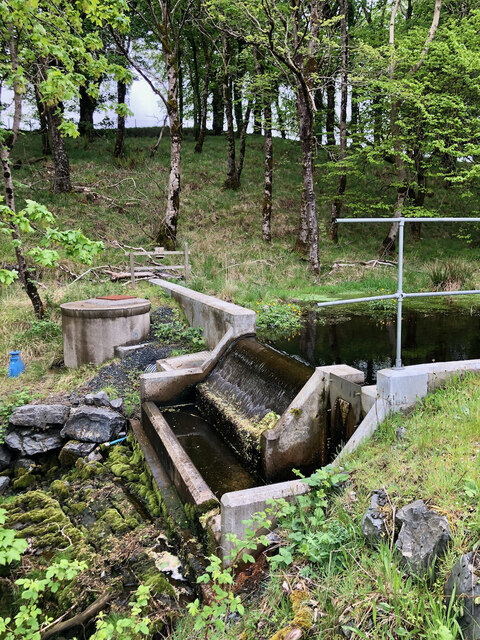
Covering an area of approximately 50 acres, Loch Ballygrant is a relatively small body of water, but its beauty and serenity make it a popular destination for both locals and tourists. The loch has a maximum depth of around 10 meters and is fed by several small streams that flow down from the nearby hills.

The water in Loch Ballygrant is crystal clear and teeming with a diverse range of freshwater species, including trout, pike, and perch. This makes it a haven for anglers, who flock to the loch in search of a good catch. Fishing permits are readily available, allowing visitors to enjoy a relaxing day of casting their lines in the tranquil surroundings.

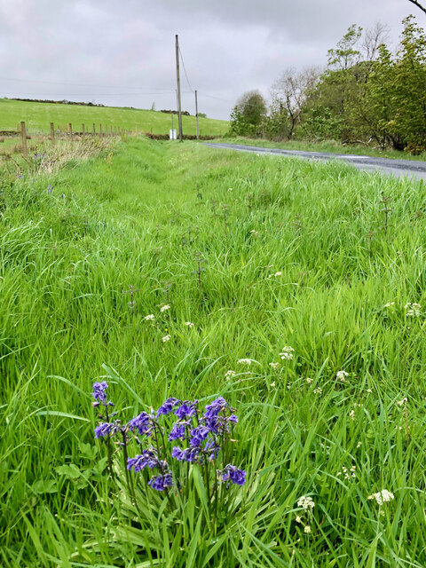
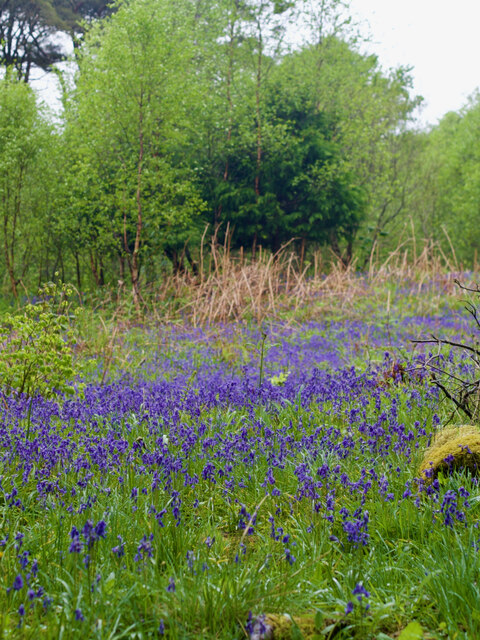
Surrounding the loch is a freshwater marsh, providing a habitat for various species of birds, plants, and wildlife. The marsh is home to a variety of waterfowl, including ducks, swans, and herons, making it a haven for birdwatchers and nature enthusiasts.

For those seeking outdoor activities, Loch Ballygrant offers opportunities for boating and kayaking. Visitors can explore the calm waters and take in the breathtaking scenery, or simply relax on the shores and enjoy a picnic while soaking up the peaceful ambiance.

Overall, Loch Ballygrant is a hidden gem in the Argyllshire region, offering a tranquil and picturesque setting for outdoor enthusiasts, anglers, and nature lovers alike.

If you have any feedback on the listing, please let us know in the comments section below.

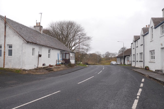
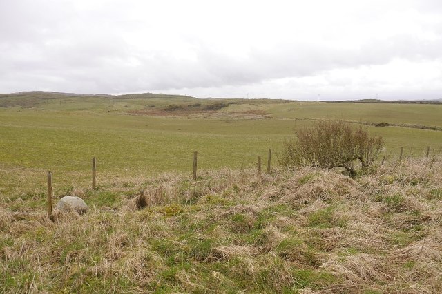
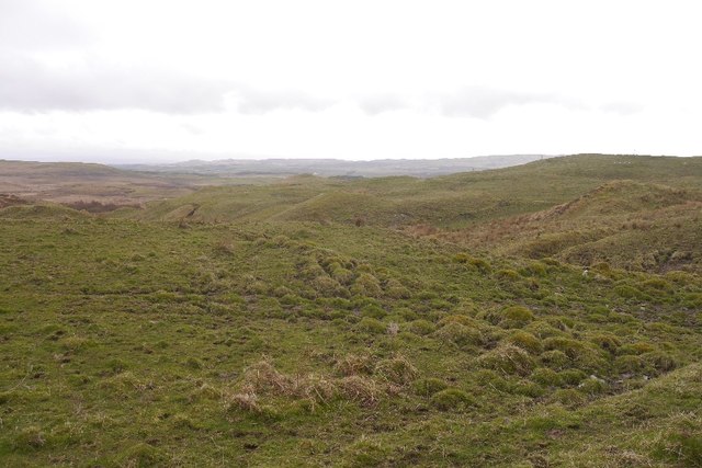
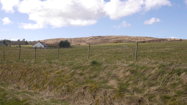
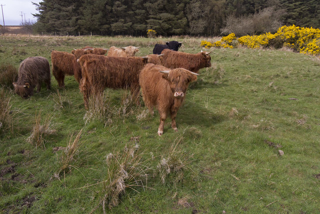
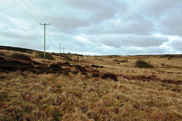
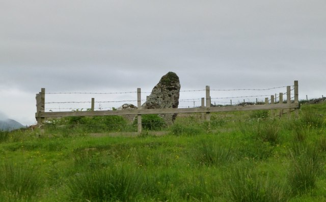
Loch Ballygrant Images

Images are sourced within 2km of 55.819628/-6.1431622 or Grid Reference NR4066. Thanks to Geograph Open Source API. All images are credited.
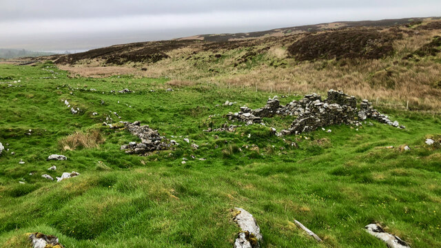
Verge on road to Lossit Lodge
Site of 18th-century illicit distillery Not quite sure exactly which building but recorded on Canmore.org.uk. Islay, Ballygrant | Canmore. Available online at: <span class="nowrap"><a title="https://canmore.org.uk/site/79738/islay-ballygrant" rel="nofollow ugc noopener" href="https://canmore.org.uk/site/79738/islay-ballygrant">Link</a><img style="margin-left:2px;" alt="External link" title="External link - shift click to open in new window" src="https://s1.geograph.org.uk/img/external.png" width="10" height="10"/></span> [Accessed 29 May 2022].
Site of 18th-century illicit distillery
Not quite sure exactly which building but recorded on Canmore.org.uk. Islay, Ballygrant | Canmore. Available online at: LinkExternal link [Accessed 29 May 2022].
Woodland track
Woodland track
Bluebells, Ballygrant Wood
Building (Period Unassigned) Not sure is recorded for this pair of ruins. For further info. see Canmore.org.uk. Islay, Kilslevan | Canmore. Available online at: <span class="nowrap"><a title="https://canmore.org.uk/site/155645/islay-kilslevan" rel="nofollow ugc noopener" href="https://canmore.org.uk/site/155645/islay-kilslevan">Link</a><img style="margin-left:2px;" alt="External link" title="External link - shift click to open in new window" src="https://s1.geograph.org.uk/img/external.png" width="10" height="10"/></span> [Accessed 29 May 2022].
Building (Period Unassigned)
Not sure is recorded for this pair of ruins. For further info. see Canmore.org.uk. Islay, Kilslevan | Canmore. Available online at: LinkExternal link [Accessed 29 May 2022].
Kilslevan deserted village The remains of deserted houses and settlements are common throughout the whole of Scotland, Islay is no exception.

Kilslevan seems to have once been a township of at least eight longhouses, and several other buildings, enclosures and two corn-drying kilns although these are hard to discern under the grass and moss. There are the ruins of a rudimentary chapel nearby. Close by too, is an old lead mine, although it is not clear if this was related to the village.

Its Gaelic name is Cill Sléibleainn meaning St. Slevan’s Church.

The village was abandoned in the later half of 19th century. One local source refers to a claim that it was “a plague village”. Perhaps not ‘the’ plague but an epidemic of some sort may well have reduced the population for it to become unsustainable

We are fortunate that the 1836 Islay Tenants Rental List has been transcribed and made available online Under Kilslevan, seven tenants are listed :—

Ronald McDougall
Alexander Campbell
Archibald Currie (Black)
Archibald Currie (fair)
Archibald McDougall
Alexander Currie
Hugh Currie
Another source gives the population as 67 in the 1841 census, and 55 in the 1851. There must have been big multi-generational families in those days. Abandonment must have taken place sometime in the following decades.

For references see my blog <span class="nowrap"><a title="http://www.fhithich.uk/?p=28118" rel="nofollow ugc noopener" href="http://www.fhithich.uk/?p=28118">Link</a><img style="margin-left:2px;" alt="External link" title="External link - shift click to open in new window" src="https://s1.geograph.org.uk/img/external.png" width="10" height="10"/></span>
Kilslevan deserted village
The remains of deserted houses and settlements are common throughout the whole of Scotland, Islay is no exception. Kilslevan seems to have once been a township of at least eight longhouses, and several other buildings, enclosures and two corn-drying kilns although these are hard to discern under the grass and moss. There are the ruins of a rudimentary chapel nearby. Close by too, is an old lead mine, although it is not clear if this was related to the village. Its Gaelic name is Cill Sléibleainn meaning St. Slevan’s Church. The village was abandoned in the later half of 19th century. One local source refers to a claim that it was “a plague village”. Perhaps not ‘the’ plague but an epidemic of some sort may well have reduced the population for it to become unsustainable We are fortunate that the 1836 Islay Tenants Rental List has been transcribed and made available online Under Kilslevan, seven tenants are listed :— Ronald McDougall Alexander Campbell Archibald Currie (Black) Archibald Currie (fair) Archibald McDougall Alexander Currie Hugh Currie Another source gives the population as 67 in the 1841 census, and 55 in the 1851. There must have been big multi-generational families in those days. Abandonment must have taken place sometime in the following decades. For references see my blog LinkExternal link
Dùn Bhoraraic
Dùn Bhoraraic
Water catchment station
Cill a' Mhanaich A corner of the old cemetery at Kilmeny,
Cill a' Mhanaich
A corner of the old cemetery at Kilmeny,
Cafe, Ballygrant Once the post office.
Cafe, Ballygrant
Once the post office.
Ballygrant The A846 heading for Port Askaig.
Ballygrant
The A846 heading for Port Askaig.
Fields by Ballygrant Farmland in a lime rich part of Islay.
Fields by Ballygrant
Farmland in a lime rich part of Islay.
Near Knocklearoch Intricate contours on rough grazing. This was the site of lead mining.
Near Knocklearoch
Intricate contours on rough grazing. This was the site of lead mining.
Field by Ballygrant Beside the road to Port Askaig.
Field by Ballygrant
Beside the road to Port Askaig.
Highland Cattle on Islay There are several small herds of Highland Cattle on Islay.
Highland Cattle on Islay
There are several small herds of Highland Cattle on Islay.
Robolls Moorland Moorland on the edge of Robolls Hill, viewed in mid-April with the land still in winter colours.
Robolls Moorland
Moorland on the edge of Robolls Hill, viewed in mid-April with the land still in winter colours.
Standing stones  At Knocklearoch.
Standing stones
At Knocklearoch.
Show me another place!

Loch Ballygrant is located at Grid Ref: NR4066 (Lat: 55.819628, Lng: -6.1431622)

Unitary Authority: Argyll and Bute

Police Authority: Argyll and West Dunbartonshire

What 3 Words

///towers.thighs.eyeliner. Near Ballygrant, Argyll & Bute

Related Wikis

Ballygrant

Ballygrant (Scottish Gaelic: Baile a' Ghràna) is a small village on the Inner Hebrides island of Islay of the western coast of Scotland. The village is...

Dun Guaidhre

Dun Guaidhre, also known as Dùn Ghùaidhre, is an Iron Age fort southwest of Kilmeny, Islay, Scotland. It is protected as a scheduled monument.Local tradition...

Finlaggan

Finlaggan (NR 388 680, Scottish Gaelic: Port an Eilein) is a historic site on Eilean Mòr in Loch Finlaggan. The Loch, the island, and Finlaggan Castle...

Dunlossit House

Dunlossit House is a Category C listed country house near Port Askaig, Islay in the county of Argyll, in western Scotland.. == History and architecture... ==

Nearby Amenities

Located within 500m of 55.819628,-6.1431622
The data included in this document is from www.openstreetmap.org. The data is made available under ODbL.

Have you been to Loch Ballygrant?

Leave your review of Loch Ballygrant below (or comments, questions and feedback).