Àird Dhubh Asabuis

Landscape Feature in Argyllshire

Scotland

Àird Dhubh Asabuis

Moorland beside unsurfaced road to RSPB reserve A minor road crosses the peninsula of The Oa eventually becoming unsurfaced and presumably unadopted. It reaches the RSPB reserve after a kilometre or so of rough motoring.
Moorland beside unsurfaced road to RSPB reserve Credit: Trevor Littlewood

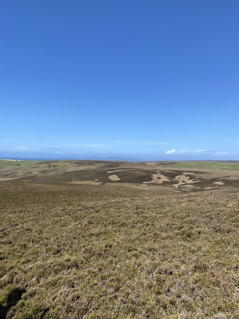
Àird Dhubh Asabuis is a stunning landscape feature located in Argyllshire, Scotland. It is situated on the west coast of the country, overlooking the vast expanse of the Atlantic Ocean.

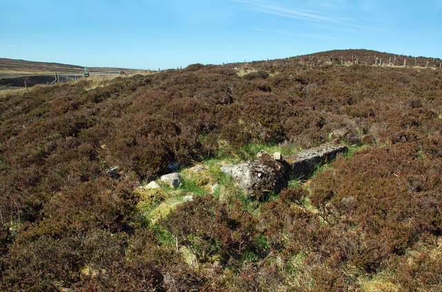
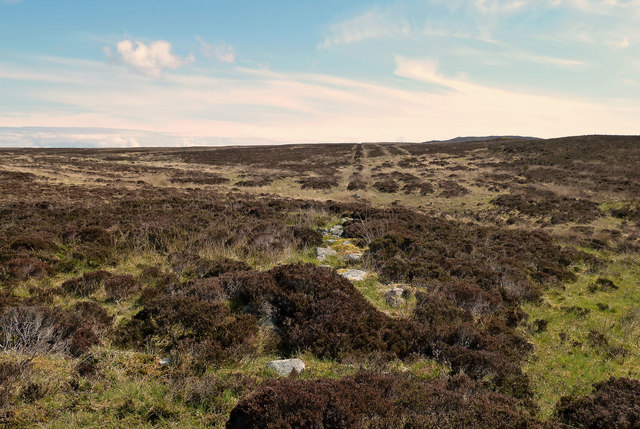
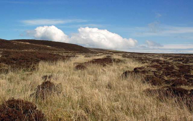
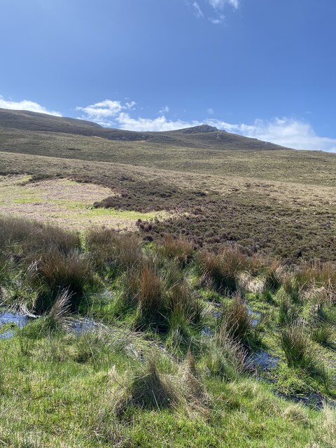
This landscape is characterized by its rugged and dramatic cliffs, which rise steeply from the sea and create a breathtaking view. The cliffs are made up of layers of ancient rock formations, giving them a unique and striking appearance. They are often adorned with vibrant green vegetation, adding to the beauty of the landscape.

At the base of the cliffs, there is a small pebble beach that stretches along the shoreline. This beach is a popular spot for visitors to relax and enjoy the peacefulness of the area. The crystal-clear waters of the Atlantic lap gently against the shore, providing a soothing and tranquil atmosphere.

The area surrounding Àird Dhubh Asabuis is rich in wildlife, making it a haven for nature enthusiasts. Seabirds can often be seen soaring above the cliffs, including gulls, puffins, and razorbills. It is also possible to spot seals and dolphins swimming in the waters below.

Àird Dhubh Asabuis is accessible by a winding coastal road, which offers breathtaking views along the way. The remoteness of the location adds to its charm, giving visitors a sense of tranquility and seclusion.

Overall, Àird Dhubh Asabuis is a captivating landscape feature that showcases the natural beauty of Scotland's west coast. Its rugged cliffs, stunning beach, and diverse wildlife make it a must-visit destination for nature lovers and those seeking a peaceful escape.

If you have any feedback on the listing, please let us know in the comments section below.

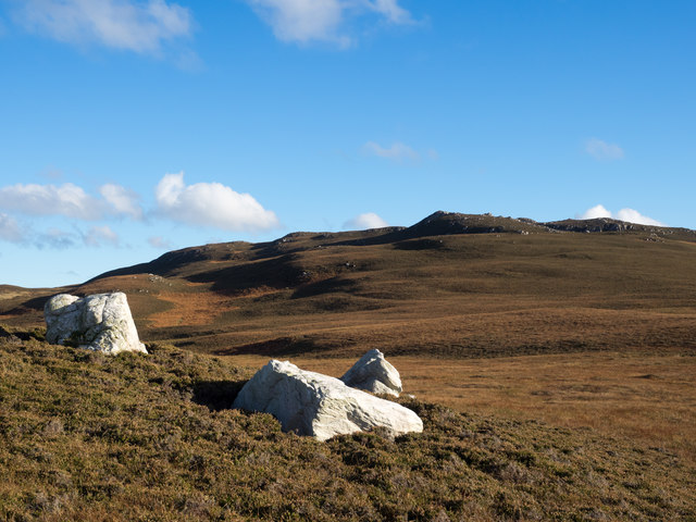
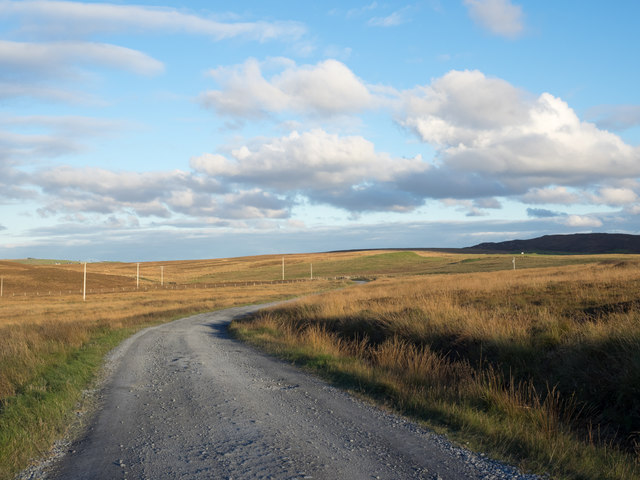
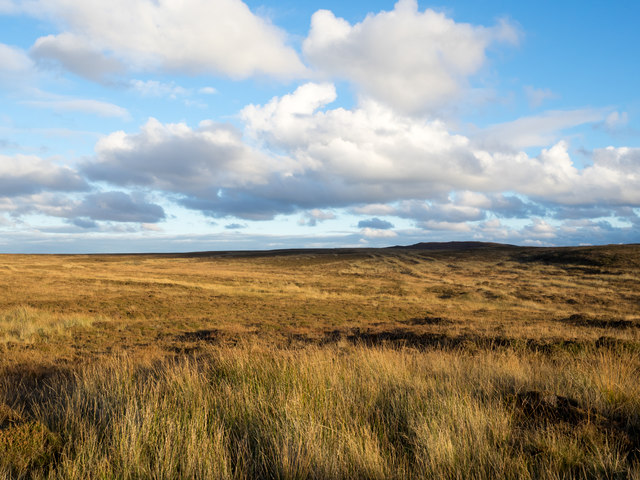
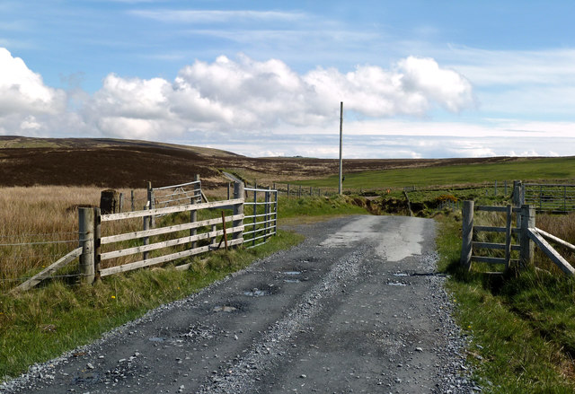
Àird Dhubh Asabuis Images

Images are sourced within 2km of 55.601252/-6.2860841 or Grid Reference NR3042. Thanks to Geograph Open Source API. All images are credited.

Moorland beside unsurfaced road to RSPB reserve A minor road crosses the peninsula of The Oa eventually becoming unsurfaced and presumably unadopted. It reaches the RSPB reserve after a kilometre or so of rough motoring.
Moorland beside unsurfaced road to RSPB reserve
A minor road crosses the peninsula of The Oa eventually becoming unsurfaced and presumably unadopted. It reaches the RSPB reserve after a kilometre or so of rough motoring.
Three white rocks on heather The rocks are on heather moorland north-west of Beinn Mhòr which is the distant hill.
Three white rocks on heather
The rocks are on heather moorland north-west of Beinn Mhòr which is the distant hill.
Unsurfaced public road near to Kinnabus The road serves farms on The Oa but is also the access for the RSPB reserve on the peninsula.
Unsurfaced public road near to Kinnabus
The road serves farms on The Oa but is also the access for the RSPB reserve on the peninsula.
Moorland with rushes on The Oa The Oa, a peninsula at the south end of Islay, is largely as at this location,  a moorland area. The view is eastwards from the only public road which generally runs west to east.
Moorland with rushes on The Oa
The Oa, a peninsula at the south end of Islay, is largely as at this location, a moorland area. The view is eastwards from the only public road which generally runs west to east.
Bog near Kinnabus Peat cuttings.
Bog near Kinnabus
Peat cuttings.
Moorland Road On The Oa This lonely road gives access to farms at Killeyan on the island of Islay.
Moorland Road On The Oa
This lonely road gives access to farms at Killeyan on the island of Islay.
Oa Moorland Moorland on the Oa viewed at the beginning of May.
Oa Moorland
Moorland on the Oa viewed at the beginning of May.
Approaching Glenavulin The start of the tarmac road on Islay's Oa peninsula.
Approaching Glenavulin
The start of the tarmac road on Islay's Oa peninsula.
Old Gate Post At first I thought that I had found the standing stone that's shown on the maps but it was only an old concrete gate post.
Old Gate Post
At first I thought that I had found the standing stone that's shown on the maps but it was only an old concrete gate post.
Old Moorland Dyke Now tumbled down and overgrown, this old boundary can still be traced across the moor.
Old Moorland Dyke
Now tumbled down and overgrown, this old boundary can still be traced across the moor.
Old Moorland Bridge I had gone into the moor in search of a standing stone and, at first, thought that I had found it. However, it was only the remains of a field boundary dyke crossing a moorland burn.
Old Moorland Bridge
I had gone into the moor in search of a standing stone and, at first, thought that I had found it. However, it was only the remains of a field boundary dyke crossing a moorland burn.
No Standing Stone I had gone into the moor to look for the standing stone that's shown on the maps but I couldn't find it at all. It might have fallen or it could have become overgrown and hidden by heather.
No Standing Stone
I had gone into the moor to look for the standing stone that's shown on the maps but I couldn't find it at all. It might have fallen or it could have become overgrown and hidden by heather.
Highland Coo
Highland Coo
Moorland and coastal views
Views towards Loch Kinnabus
Views to Dun Athad and Mull of Oa
Onwards and upwards towards Beinn Mhor
Views on the descent from Beinn Mhor
Show me another place!

Àird Dhubh Asabuis is located at Grid Ref: NR3042 (Lat: 55.601252, Lng: -6.2860841)

Unitary Authority: Argyll and Bute

Police Authority: Argyll and West Dunbartonshire

What 3 Words

///stealthier.firms.doormat. Near Port Ellen, Argyll & Bute

Related Wikis

Eas Mòr, upper

Eas Mor is a waterfall is a waterfall on the Abhainn Ghil on the island of Islay in Scotland. It lies on The Oa peninsula south of Giol and west of Lenavore...

The Oa

The Oa ( OH) (Scottish Gaelic: An Obha) is a rocky peninsula in the southwest of the island of Islay, in Argyll, Scotland. It is an RSPB nature reserve...

Eas Mòr, lower

Eas Mor (lower) is a waterfall on the Abhainn Ghil on the island of Islay, in Scotland. It lies on the west coast of The Oa peninsula north of Lower Killeyan...

Port Ellen distillery

Port Ellen distillery is located in Port Ellen on the isle of Islay, Scotland. It initially operated between 1825 and 1983 when production shut down....

Machrie golf course

The Machrie Golf Course, or "The Machrie Links", is located on Islay, in Scotland. The word "machrie" is a corruption of the Scottish Gaelic machair, which...

St John's Church, Port Ellen

St John's Church, Port Ellen is a Category B listed building in Port Ellen, Islay, Argyll and Bute, Scotland. == History == The memorial stone for the...

Port Ellen

Port Ellen (Scottish Gaelic: Port Ìlein) is a small town on the island of Islay, in Argyll, Scotland. The town is named after the wife of its founder,...

Laphroaig distillery

Laphroaig distillery ( lə-FROYG) is an Islay single malt Scotch whisky distillery. It is named after the area of land at the head of Loch Laphroaig on...

Nearby Amenities

Located within 500m of 55.601252,-6.2860841
Asabus
Place: locality
Lat/Long: 55.6027049/-6.2813731
The data included in this document is from www.openstreetmap.org. The data is made available under ODbL.

Have you been to Àird Dhubh Asabuis?

Leave your review of Àird Dhubh Asabuis below (or comments, questions and feedback).