Covehithe Broad
Lake, Pool, Pond, Freshwater Marsh in Suffolk East Suffolk
England
Covehithe Broad

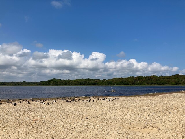
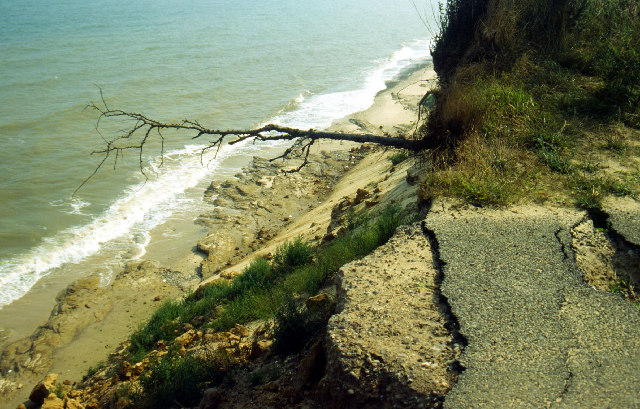
Covehithe Broad is a freshwater marsh located in Suffolk, England. Nestled in the village of Covehithe, this natural gem is a popular destination for nature lovers and birdwatchers alike. Covering an area of approximately 4 hectares, the broad is a haven for various species of wildlife and offers a serene and tranquil setting for visitors.
The broad is a result of a former sand and gravel quarry, whose pits later became filled with rainwater and turned into a picturesque lake. Surrounded by lush vegetation and reed beds, Covehithe Broad supports a diverse range of plant and animal life. The marshland is home to several species of waterfowl, including ducks, geese, and swans, as well as a variety of wading birds such as herons and egrets. The surrounding trees and shrubs provide nesting grounds for numerous songbirds, adding to the area's rich biodiversity.
Visitors to Covehithe Broad can enjoy a leisurely stroll along its peaceful shores, taking in the breathtaking views of the surrounding landscape. The broad is also a popular spot for fishing enthusiasts, with anglers often seen casting their lines in search of perch, pike, and roach. Additionally, the calm waters offer an ideal environment for kayaking and canoeing, providing a unique perspective of the marshland.
Covehithe Broad is a place of natural beauty and tranquility, offering a peaceful retreat from the hustle and bustle of daily life. Its rich biodiversity and stunning scenery make it a must-visit destination for anyone seeking to connect with nature and explore the wonders of Suffolk's countryside.
If you have any feedback on the listing, please let us know in the comments section below.
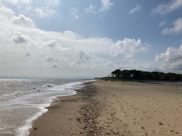
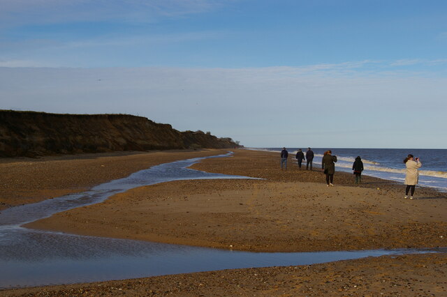
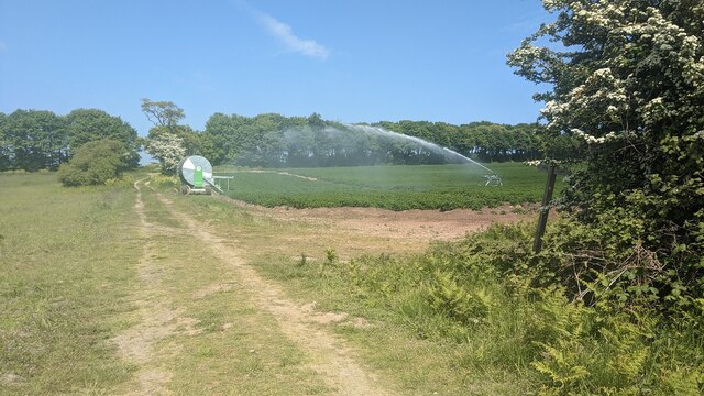
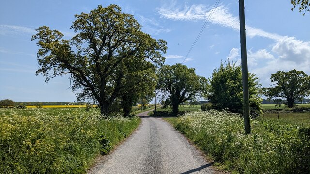
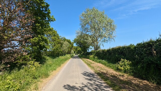
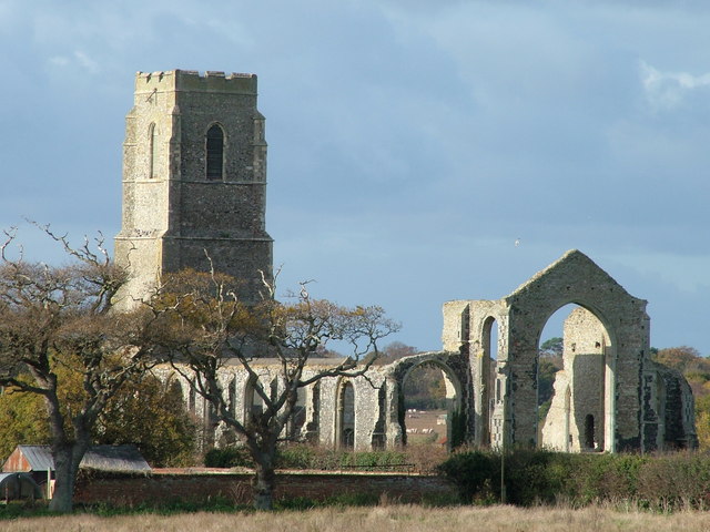
Covehithe Broad Images
Images are sourced within 2km of 52.372213/1.701398 or Grid Reference TM5281. Thanks to Geograph Open Source API. All images are credited.


Covehithe Broad is located at Grid Ref: TM5281 (Lat: 52.372213, Lng: 1.701398)
Administrative County: Suffolk
District: East Suffolk
Police Authority: Suffolk
What 3 Words
///pinch.magnum.solicitor. Near Southwold, Suffolk
Nearby Locations
Related Wikis

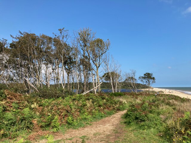
Benacre National Nature Reserve
Benacre National Nature Reserve is a national nature reserve in the English county of Suffolk. It is located on the North Sea coast in the parishes of...
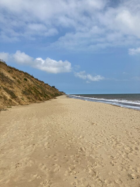
Covehithe
Covehithe is a village and civil parish in the East Suffolk district of the English county of Suffolk. It lies on the North Sea coast around 4 miles (6...
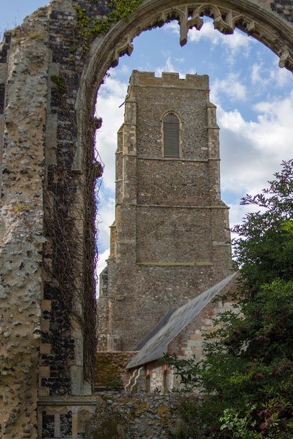
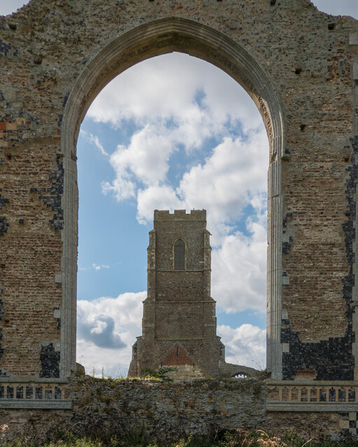
St Andrew's Church, Covehithe
St Andrew's Church is a partly redundant Anglican church in the hamlet of Covehithe in the English county of Suffolk. It is recorded in the National Heritage...
Pakefield to Easton Bavents
Pakefield to Easton Bavents is a 735.4-hectare (1,817-acre) biological and geological Site of Special Scientific Interest which stretches along the Suffolk...

Benacre Broad
Benacre Broad is an isolated coastal lagoon on the North Sea coast of the English county of Suffolk. It is located in the parish of Benacre around 1⁄2...

South Cove, Suffolk
South Cove is a civil parish in the east of the English county of Suffolk. It is 3 miles (4.8 km) north of the coastal town of Southwold and 1 mile (1...

Wrentham, Suffolk
Wrentham is a village and civil parish in the East Suffolk district, in the north-east of the English county of Suffolk. It is located about 2 miles (3...

Old Town Hall, Wrentham
The Old Town Hall is a former municipal building in the High Street in Wrentham, Suffolk, England. The building, which was the meeting place of Wrentham...
Nearby Amenities
Located within 500m of 52.372213,1.701398Have you been to Covehithe Broad?
Leave your review of Covehithe Broad below (or comments, questions and feedback).