Buttsole Pond

Lake, Pool, Pond, Freshwater Marsh in Kent Dover

England

Buttsole Pond

Mossy barn roof, Heronden Farm Ferns are also growing on the roof, at the far end.
Mossy barn roof, Heronden Farm Credit: John Baker

Buttsole Pond, located in Kent, England, is a freshwater body consisting of a lake, pool, pond, and freshwater marsh. Situated in the charming village of Buttsole, the pond covers an area of approximately 4 acres and is surrounded by picturesque countryside.

The pond is fed by natural springs and rainwater runoff, ensuring a constant supply of freshwater. Its depth varies throughout the year, typically ranging from 1 to 3 meters. The water in Buttsole Pond is clear and clean, providing a suitable habitat for various aquatic plants and wildlife.

The pond's surroundings are rich in biodiversity, with a diverse range of flora and fauna. The freshwater marsh that borders the pond is home to numerous species of plants, such as reeds, sedges, and rushes, providing nesting and feeding grounds for various bird species, including waterfowl.

The pond itself supports a healthy population of fish, including common carp, roach, and tench. This makes it a popular spot for fishing enthusiasts, who can enjoy a peaceful day by the water's edge. Additionally, the pond attracts a variety of water-loving mammals, such as otters, water voles, and frogs.

Buttsole Pond is a serene and tranquil location, providing a haven for both wildlife and visitors seeking a moment of tranquility. Its natural beauty and diverse ecosystem make it a valuable natural asset within the Kent countryside. Whether it be for fishing, birdwatching, or simply enjoying nature's beauty, Buttsole Pond offers a peaceful retreat for all to enjoy.

If you have any feedback on the listing, please let us know in the comments section below.

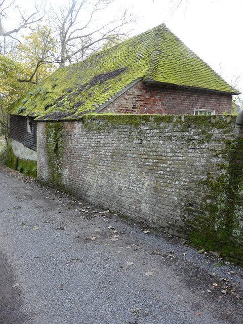
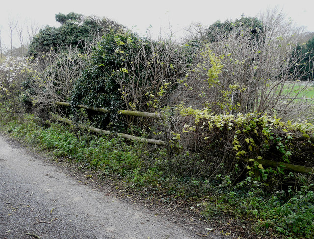
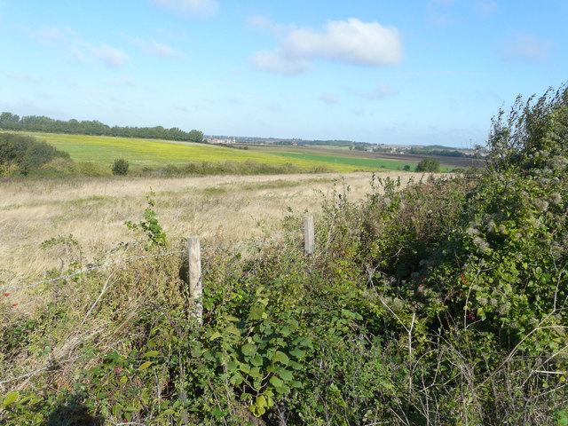
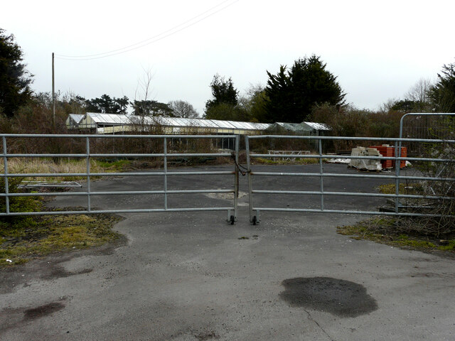
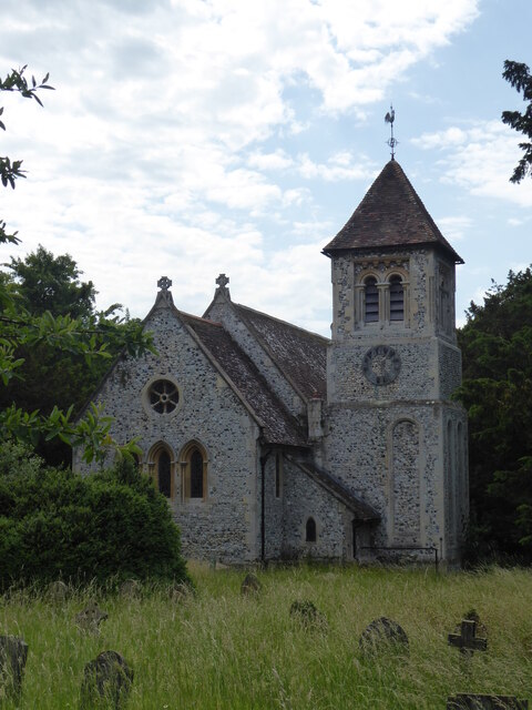
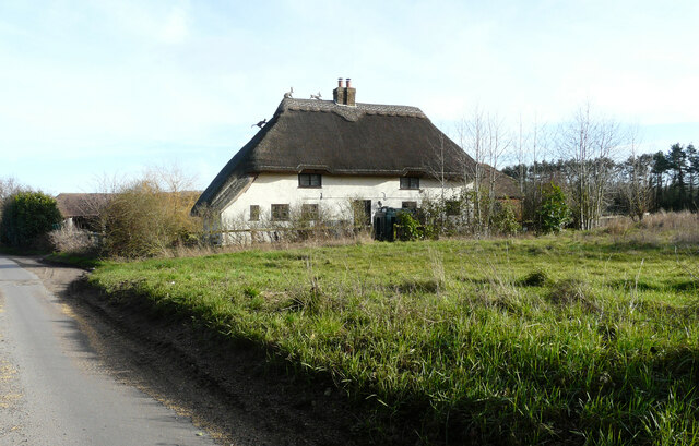
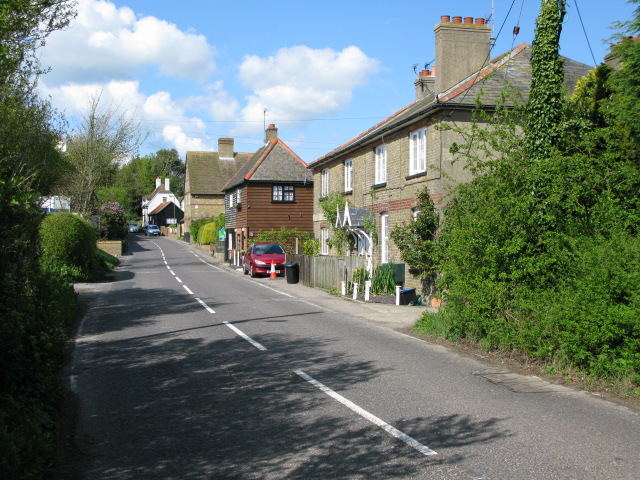
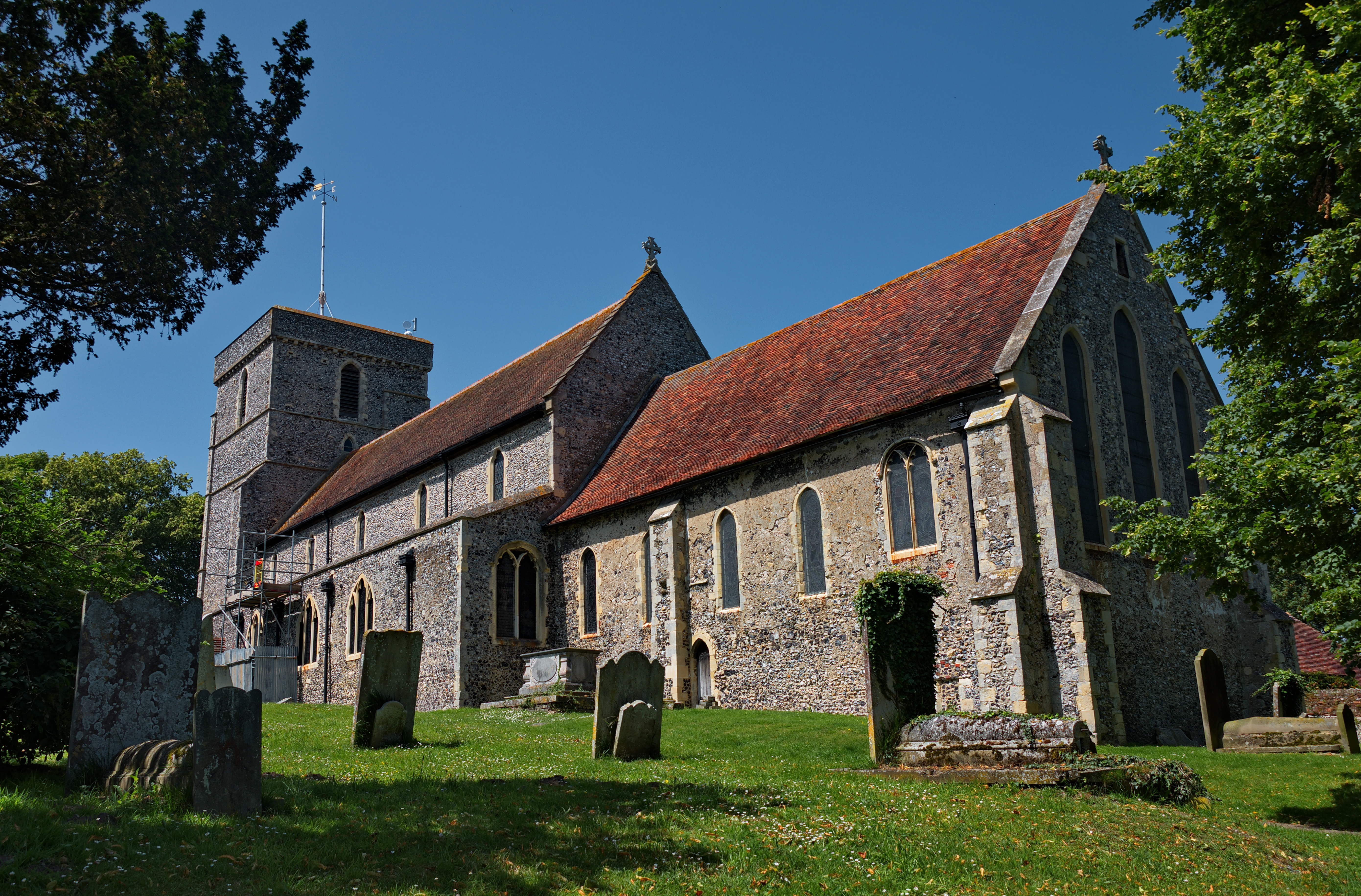
Buttsole Pond Images

Images are sourced within 2km of 51.239807/1.3073538 or Grid Reference TR3054. Thanks to Geograph Open Source API. All images are credited.

Mossy barn roof, Heronden Farm Ferns are also growing on the roof, at the far end.
Mossy barn roof, Heronden Farm
Ferns are also growing on the roof, at the far end.
Ivy-covered building, Heronden Road Nick Smith’s <a href="https://www.geograph.org.uk/photo/304028">TR2954 : Derelict house in Heronden</a> shows the building as it was almost nine years ago, when one could see a lot more of its structure.
Ivy-covered building, Heronden Road
Nick Smith’s TR2954 : Derelict house in Heronden shows the building as it was almost nine years ago, when one could see a lot more of its structure.
Looking northwest from Thornton Lane The hedge, on the other side of the meadow, follows the route of the former East Kent Light Railway. To the right of the hedge at the top of the next field, the pale patch marks the redevelopment of Hammill brickworks in <a href="https://www.geograph.org.uk/gridref/TR2955">TR2955</a> and beyond that the tower and spire of Wingham church is visible in <a href="https://www.geograph.org.uk/gridref/TR2457">TR2457</a>. Just over six years ago, I took a view from this location <a href="https://www.geograph.org.uk/photo/1514584">TR2954 : Looking southwest from Thornton Lane</a>.
Looking northwest from Thornton Lane
The hedge, on the other side of the meadow, follows the route of the former East Kent Light Railway. To the right of the hedge at the top of the next field, the pale patch marks the redevelopment of Hammill brickworks in TR2955 and beyond that the tower and spire of Wingham church is visible in TR2457. Just over six years ago, I took a view from this location TR2954 : Looking southwest from Thornton Lane.
Hammill Park A zoom shot from a bridleway showing the former engine sheds, which are being converted, and the houses, which have been completed on this site. The development of the site, which has been named Hammill Park, is being managed by Quinn Estates      
<span class="nowrap"><a title="http://quinn-estates.com/future-developments#current-projects/hammill-brickworks" rel="nofollow ugc noopener" href="http://quinn-estates.com/future-developments#current-projects/hammill-brickworks">Link</a><img style="margin-left:2px;" alt="External link" title="External link - shift click to open in new window" src="https://s1.geograph.org.uk/img/external.png" width="10" height="10"/></span>
 

This image of the <a href="https://www.geograph.org.uk/photo/5580927">TR2955 : Conversion of former engine sheds</a> shows the building a few months earlier.
Hammill Park
A zoom shot from a bridleway showing the former engine sheds, which are being converted, and the houses, which have been completed on this site. The development of the site, which has been named Hammill Park, is being managed by Quinn Estates LinkExternal link This image of the TR2955 : Conversion of former engine sheds shows the building a few months earlier.
Derelict building, Heronden Road Almost hidden from view in the undergrowth. 

See <a href="https://www.geograph.org.uk/photo/4771272">TR2954 : Ivy-covered building, Heronden Road</a> and <a href="https://www.geograph.org.uk/photo/4526044">TR2954 : Ruined building, Middle Heronden Farm</a> for buildings, which are in a similar state.
Derelict building, Heronden Road
Almost hidden from view in the undergrowth. See TR2954 : Ivy-covered building, Heronden Road and TR2954 : Ruined building, Middle Heronden Farm for buildings, which are in a similar state.
Derelict building, Middle Heronden Farm This image of the same <a href="https://www.geograph.org.uk/photo/4526065">TR2954 : Derelict building, Middle Heronden Farm</a> shows it with more ivy growing on the exterior walls and before it had been shored up.
Derelict building, Middle Heronden Farm
This image of the same TR2954 : Derelict building, Middle Heronden Farm shows it with more ivy growing on the exterior walls and before it had been shored up.
Derelict building, Middle Heronden Farm This image is of the same <a href="https://www.geograph.org.uk/photo/4526073">TR2954 : Derelict building, Middle Heronden Farm</a> but taken from further away. The present image shows how some of the windows have been boarded over, with warnings about ‘danger do not enter’ and ‘unsafe structure’ painted on the boards.
Derelict building, Middle Heronden Farm
This image is of the same TR2954 : Derelict building, Middle Heronden Farm but taken from further away. The present image shows how some of the windows have been boarded over, with warnings about ‘danger do not enter’ and ‘unsafe structure’ painted on the boards.
Fallow field north of Heronden
Small field near Heronden One of a series of small hedged arable fields, which only appeared on maps and aerial views late in the 20th century. Why were they created?
Small field near Heronden
One of a series of small hedged arable fields, which only appeared on maps and aerial views late in the 20th century. Why were they created?
A view of Great Selson Farm The house is partly hidden by trees.
A view of Great Selson Farm
The house is partly hidden by trees.
A country lane On the horizon are some of the houses, which have been built as part of the   redevelopment of the Hammill Brick Works.
A country lane
On the horizon are some of the houses, which have been built as part of the redevelopment of the Hammill Brick Works.
2, Gore Farm, Gore Lane The view of <a href="https://www.geograph.org.uk/photo/6042597">TR3055 : 2, Gore Farm, Gore Lane</a> shows the single storey extension under construction.
2, Gore Farm, Gore Lane
The view of TR3055 : 2, Gore Farm, Gore Lane shows the single storey extension under construction.
Former Poison Cross Nursery, Foxborough Hill Planning permission has been granted by Dover District Council under application number DOV/21/00421 for the “erection of 6 detached dwellings and 3 buildings containing 8 units for office and light industrial use with new vehicle access, associated parking and landscaping”.
Former Poison Cross Nursery, Foxborough Hill
Planning permission has been granted by Dover District Council under application number DOV/21/00421 for the “erection of 6 detached dwellings and 3 buildings containing 8 units for office and light industrial use with new vehicle access, associated parking and landscaping”.
Former Poison Cross Nursery, Foxborough Hill Planning permission has been granted by Dover District Council under application number DOV/21/00421 for the “erection of 6 detached dwellings and 3 buildings containing 8 units for office and light industrial use with new vehicle access, associated parking and landscaping”.  

A similar view of <a href="https://www.geograph.org.uk/photo/5152180">TR3055 : The remains of Poisin Cross Nursery, Foxborough Hill</a> taken in October 2016; both views show the sign for the nursery.
Former Poison Cross Nursery, Foxborough Hill
Planning permission has been granted by Dover District Council under application number DOV/21/00421 for the “erection of 6 detached dwellings and 3 buildings containing 8 units for office and light industrial use with new vehicle access, associated parking and landscaping”. A similar view of TR3055 : The remains of Poisin Cross Nursery, Foxborough Hill taken in October 2016; both views show the sign for the nursery.
Walton Lea, Sandwich Road Planning permission has been approved by Dover District Council under application number DOV/21/00520 for the “erection of a two-storey side extension”.
Walton Lea, Sandwich Road
Planning permission has been approved by Dover District Council under application number DOV/21/00520 for the “erection of a two-storey side extension”.
Betteshanger, St Mary the Virgin
Venson Farm A delightful example of a thatcher's art, depicting a cat ascending the roof to reach two hares on the ridge.
Venson Farm
A delightful example of a thatcher's art, depicting a cat ascending the roof to reach two hares on the ridge.
Thornton Lane This lane leads from Mill Lane, Eastry towards Thorntonhill.
Thornton Lane
This lane leads from Mill Lane, Eastry towards Thorntonhill.
Show me another place!

Buttsole Pond is located at Grid Ref: TR3054 (Lat: 51.239807, Lng: 1.3073538)

Administrative County: Kent

District: Dover

Police Authority: Kent

What 3 Words

///innovate.rear.dormant. Near Eastry, Kent

Related Wikis

Buttsole

Buttsole is a hamlet within the civil parish of Eastry, south-west of Sandwich in Kent, England. It is a cluster of houses along Lower Street, south of...

Updown early medieval cemetery

A 7th-century cemetery was discovered in Updown, Kent, United Kingdom, in the 1970s. It was excavated by Sonia Chadwick Hawkes and Brian Philp in advance...

Eastry

Eastry is a civil parish in Kent, England, around 2+1⁄2 miles (4 km) southwest of Sandwich. It was voted "Kent Village of the Year 2005". The name is derived...
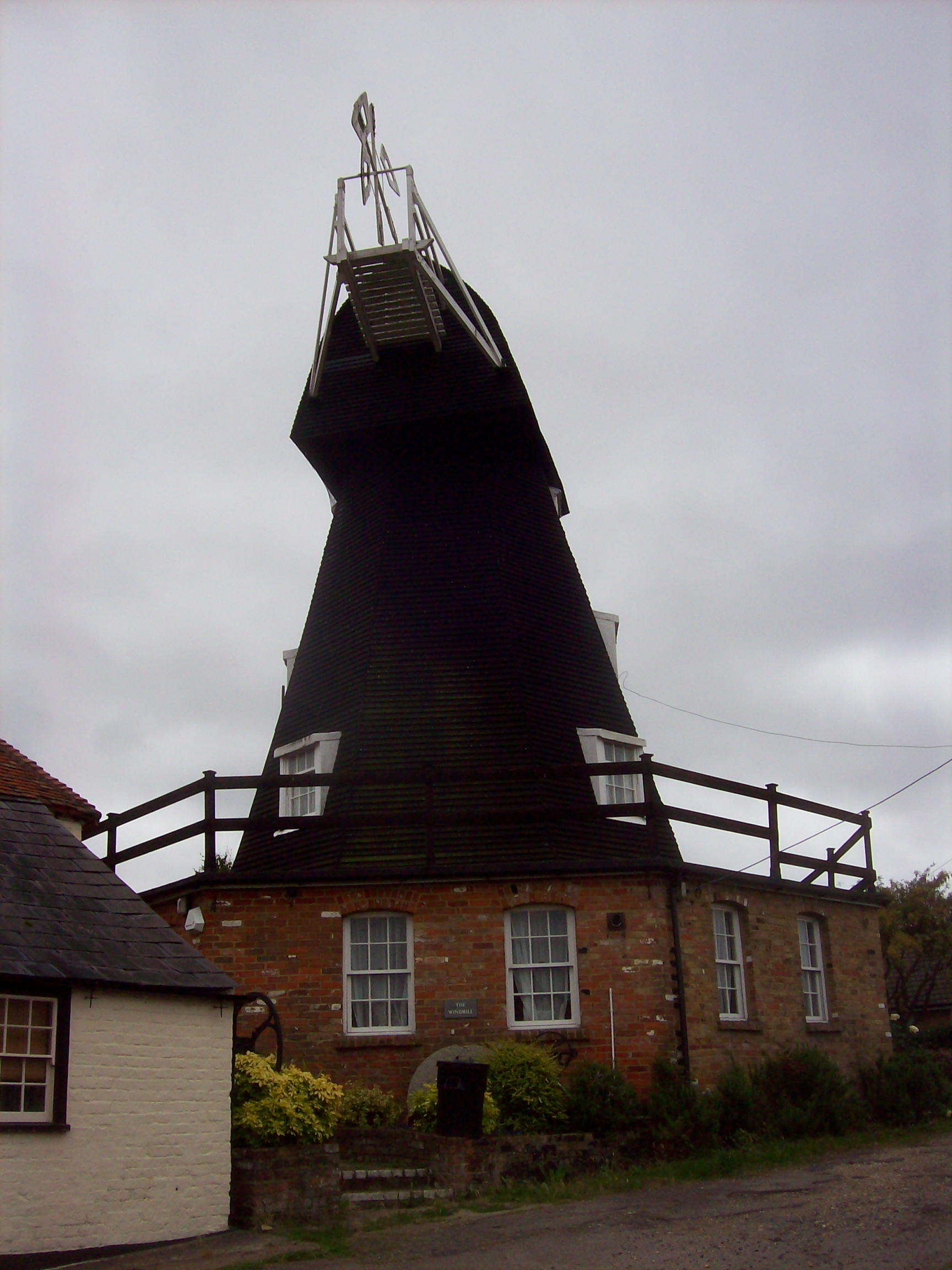
Upper Mill, Eastry

Upper Mill is a Grade II listed house converted smock mill in Eastry, Kent, England. It was built in the mid eighteenth century. == History == Upper Mill...

Eastry South railway station

Eastry South railway station was a railway station on the East Kent Light Railway. It opened on 13 April 1925 and closed to passenger traffic after the...

Eastry railway station

Eastry railway station was a railway station on the East Kent Light Railway. It opened on 16 October 1916 and closed to passenger traffic after the last...

Poison Cross railway station

Poison Cross railway station was a railway station on the East Kent Light Railway. It opened in May 1925 and closed to passenger traffic on 1 November...
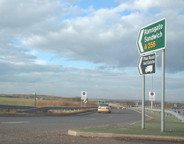
A256 road

The A256 is a major road running along the east coast of Kent between the Isle of Thanet and Dover. It is operated by Kent County Council as a primary...

Nearby Amenities

Located within 500m of 51.239807,1.3073538
Bus Stop
Buttsole Pond
Flag: no
Local Ref: adj
Naptan AtcoCode: 240097244
Naptan Bearing: N
Naptan BusStopType: CUS
Naptan CommonName: Buttsole Pond
Naptan Indicator: adj
Naptan Landmark: Buttsole Pond
Naptan NaptanCode: kntgpagm
Naptan PlusbusZoneRef: DEAL
Naptan RevisionNumber: 3
Naptan Status: act
Naptan Street: Lower Street
Naptan Verified: no
Public Transport: platform
Ref: kntgpagm
Source: naptan_import
Source Date: 2018-08-30
Lat/Long: 51.2395187/1.3074334
Bus Stop
Buttsole Pond
Flag: no
Local Ref: opp
Naptan AtcoCode: 240097246
Naptan Bearing: S
Naptan BusStopType: CUS
Naptan CommonName: Buttsole Pond
Naptan Indicator: opp
Naptan Landmark: Buttsole Pond
Naptan NaptanCode: kntgpagj
Naptan PlusbusZoneRef: DEAL
Naptan RevisionNumber: 3
Naptan Status: act
Naptan Street: Lower Street
Naptan Verified: no
Public Transport: platform
Ref: kntgpagj
Source: naptan_import
Source Date: 2018-08-30
Lat/Long: 51.2395032/1.3076616
Post Box
Brand: Royal Mail
Brand Wikidata: Q638098
Collection Times: Mo-Fr 09:00; Sa 07:00
Operator: Royal Mail
Operator Wikidata: Q638098
Post Box Mounting: wooden_post
Post Box Type: lamp
Postal Code: CT13
Ref: CT13 118
Royal Cypher: EIIR
Royal Cypher Wikidata: Q33102113
Source: survey
Lat/Long: 51.2419608/1.3077813
Power: pole
Lat/Long: 51.235827/1.3090573
Power: pole
Lat/Long: 51.2358515/1.3044546
Power: pole
Lat/Long: 51.2359724/1.3096849
Power: pole
Lat/Long: 51.2358952/1.3060801
Power: pole
Lat/Long: 51.2359336/1.3078729
Power: pole
Lat/Long: 51.2357441/1.3049492
Power: pole
Lat/Long: 51.2357727/1.306366
Power: pole
Lat/Long: 51.2358023/1.3078352
Power: pole
Lat/Long: 51.2422906/1.3022039
Power: pole
Lat/Long: 51.2424031/1.3028771
Power: pole
Lat/Long: 51.2425475/1.3037864
Power: pole
Lat/Long: 51.2426298/1.3045615
Power: pole
Lat/Long: 51.2428918/1.3062594
Power: pole
Lat/Long: 51.2422738/1.3067502
Power: pole
Lat/Long: 51.2416559/1.3072518
Generator Method: photovoltaic
Generator Output Electricity: yes
Generator Source: solar
Generator Type: solar_photovoltaic_panel
Location: roof
Power: generator
Lat/Long: 51.2410213/1.3079014
Generator Output Electricity: yes
Generator Source: solar
Generator Type: solar_photovoltaic_panel
Location: roof
Power: generator
Lat/Long: 51.2382833/1.3103986
The data included in this document is from www.openstreetmap.org. The data is made available under ODbL.

Have you been to Buttsole Pond?

Leave your review of Buttsole Pond below (or comments, questions and feedback).