Eastry
Civil Parish in Kent Dover
England
Eastry

Eastry is a civil parish located in the county of Kent, in the southeastern part of England. It is situated approximately 7 miles northeast of the town of Sandwich and around 11 miles east of the city of Canterbury. With a population of around 1,600 residents, it is a relatively small parish.
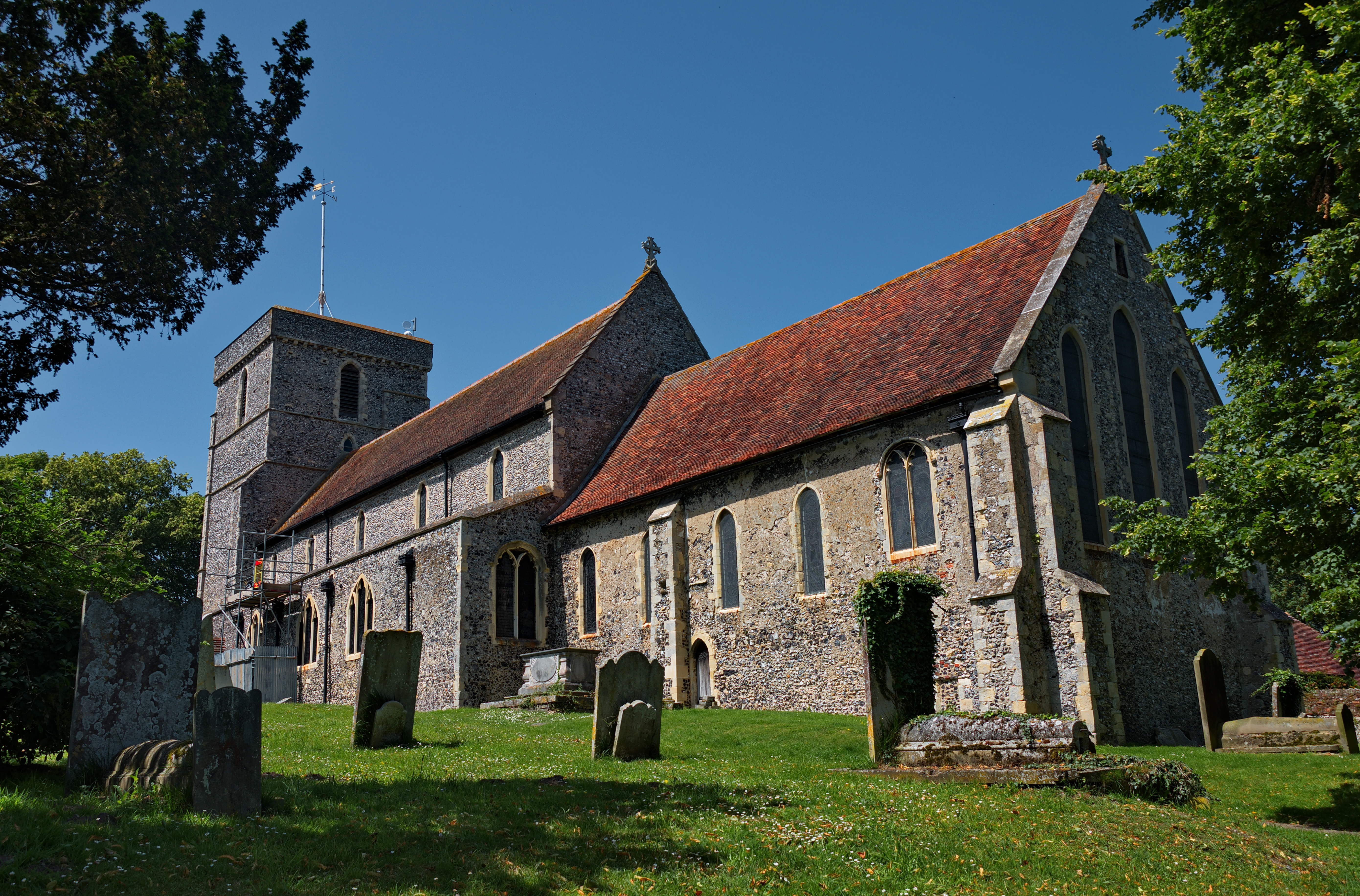
Eastry is known for its rich history, dating back to Roman times. The village was an important settlement during the Anglo-Saxon period and was mentioned in the Domesday Book of 1086. The parish is home to several historic buildings, including the Grade I listed Church of St. Mary the Virgin, which dates back to the 13th century and features stunning architecture.
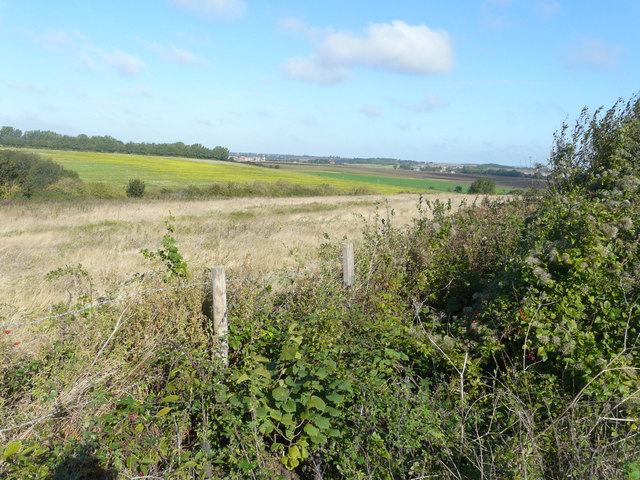
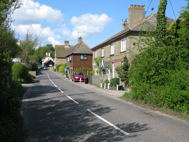
The village of Eastry itself has a charming, traditional feel with its narrow streets and timber-framed houses. There are a few amenities available, including a primary school, a village hall, and a local pub. The surrounding countryside offers picturesque landscapes and is popular with walkers and nature enthusiasts.
The parish holds an annual Eastry Show, which showcases local produce, crafts, and livestock, attracting visitors from the neighboring areas. Additionally, there are various community events and activities organized throughout the year, bringing the residents together and fostering a strong sense of community spirit.
Overall, Eastry is a quiet and picturesque civil parish in Kent, offering a glimpse into its rich historical past and providing a peaceful and close-knit community for its residents.
If you have any feedback on the listing, please let us know in the comments section below.
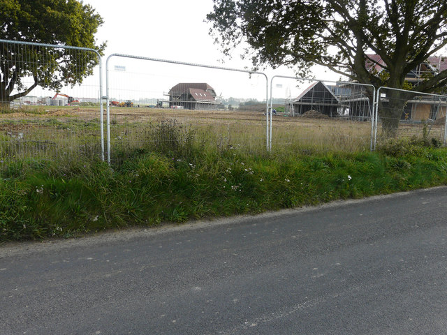
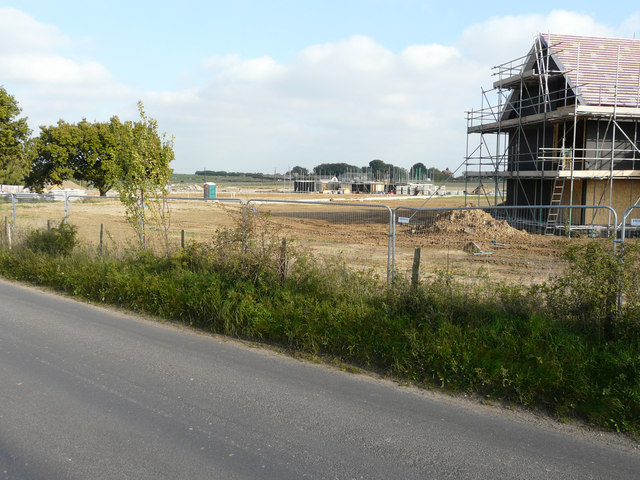
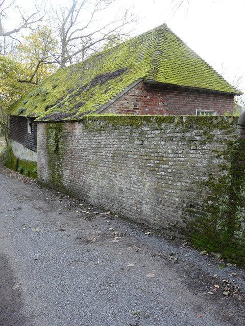
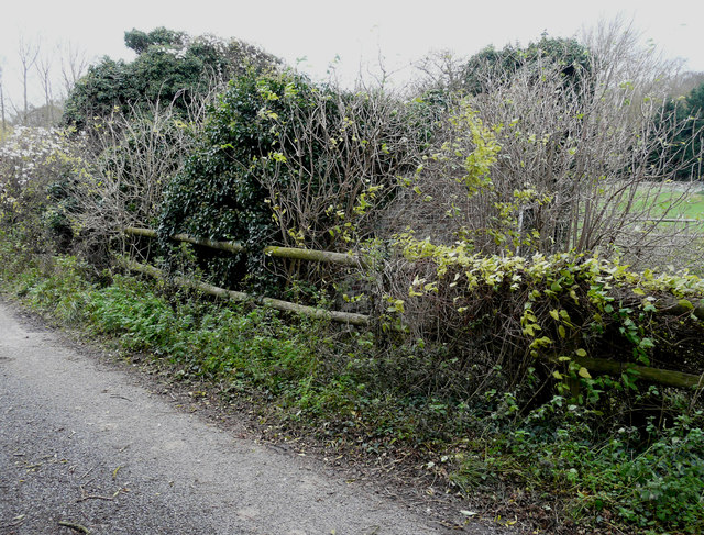
Eastry Images
Images are sourced within 2km of 51.240235/1.300212 or Grid Reference TR3054. Thanks to Geograph Open Source API. All images are credited.


Eastry is located at Grid Ref: TR3054 (Lat: 51.240235, Lng: 1.300212)
Administrative County: Kent
District: Dover
Police Authority: Kent
What 3 Words
///hunches.park.overpaid. Near Eastry, Kent
Nearby Locations
Related Wikis
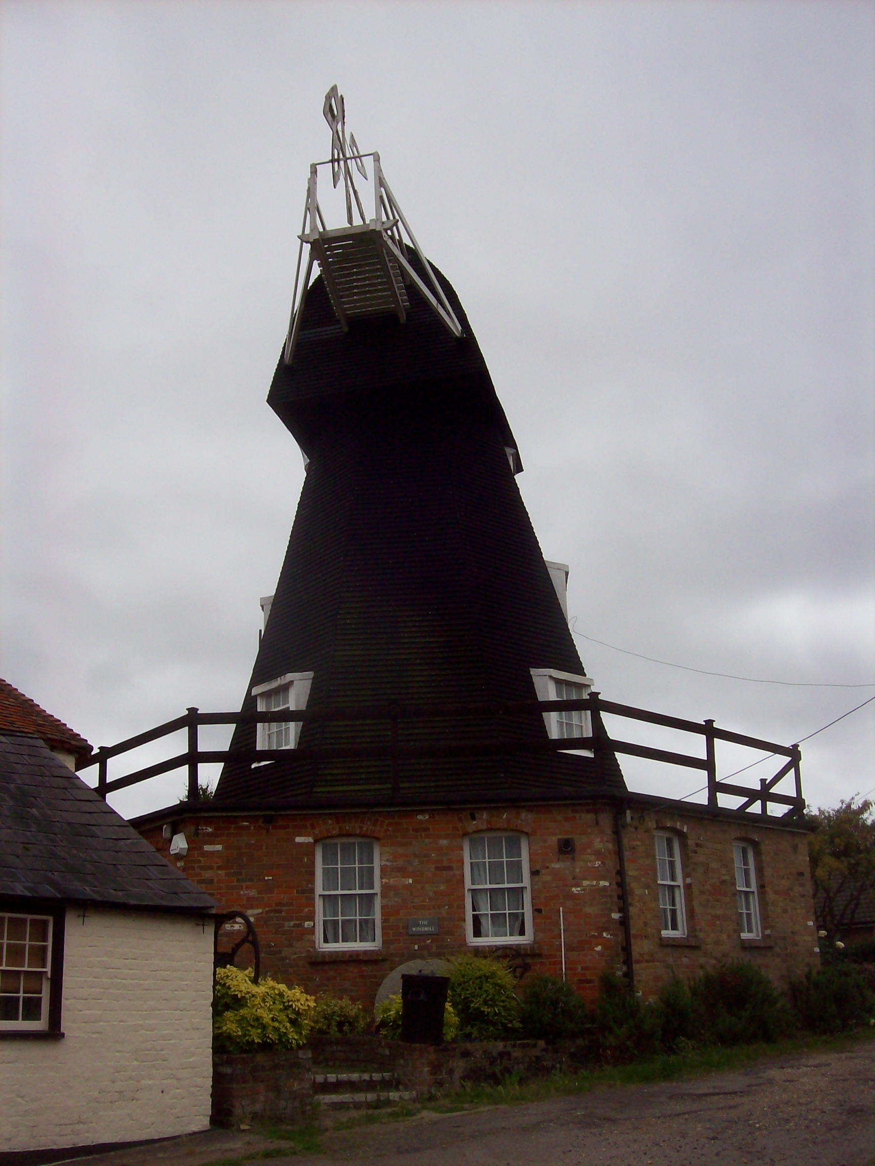
Upper Mill, Eastry
Upper Mill is a Grade II listed house converted smock mill in Eastry, Kent, England. It was built in the mid eighteenth century. == History == Upper Mill...

Eastry South railway station
Eastry South railway station was a railway station on the East Kent Light Railway. It opened on 13 April 1925 and closed to passenger traffic after the...
Buttsole
Buttsole is a hamlet within the civil parish of Eastry, south-west of Sandwich in Kent, England. It is a cluster of houses along Lower Street, south of...
Eastry
Eastry is a civil parish in Kent, England, around 2+1⁄2 miles (4 km) southwest of Sandwich. It was voted "Kent Village of the Year 2005". The name is derived...
Updown early medieval cemetery
A 7th-century cemetery was discovered in Updown, Kent, United Kingdom, in the 1970s. It was excavated by Sonia Chadwick Hawkes and Brian Philp in advance...
Eastry railway station
Eastry railway station was a railway station on the East Kent Light Railway. It opened on 16 October 1916 and closed to passenger traffic after the last...
Poison Cross railway station
Poison Cross railway station was a railway station on the East Kent Light Railway. It opened in May 1925 and closed to passenger traffic on 1 November...
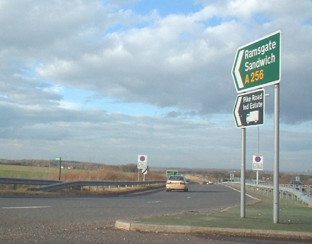
A256 road
The A256 is a major road running along the east coast of Kent between the Isle of Thanet and Dover. It is operated by Kent County Council as a primary...
Nearby Amenities
Located within 500m of 51.240235,1.300212Have you been to Eastry?
Leave your review of Eastry below (or comments, questions and feedback).