The Lay Pond

Lake, Pool, Pond, Freshwater Marsh in Norfolk South Norfolk

England

The Lay Pond

Site of the Denton Wash level crossing #58 The road was realigned into an 'Z' bend for the crossing as it was almost parallel with the planned alignment of the track. The layout of the new road has blocked access to the road on the other side and constructed a new access to Waveney Farm 120 yards further up the road.
Site of the Denton Wash level crossing #58 Credit: Adrian S Pye

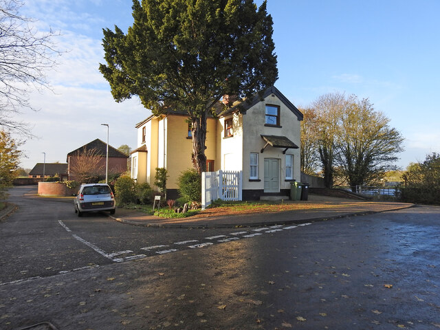
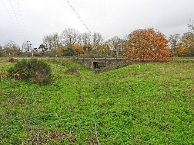
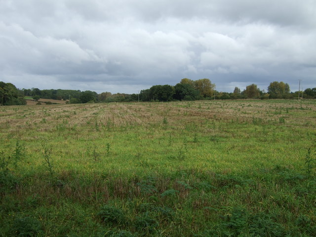
The Lay Pond, located in Norfolk, is a serene and picturesque freshwater ecosystem that encompasses a combination of lake, pool, pond, and freshwater marsh habitats. Spanning approximately 20 acres, this natural oasis is a source of abundant biodiversity and a haven for both plant and animal species.

The pond is fed by multiple freshwater springs, ensuring a steady flow of clean water throughout the year. Its shallow depth and calm surface create an ideal environment for a diverse range of aquatic vegetation to flourish, including water lilies, cattails, and various submerged plants. These plants not only provide shelter and food for numerous species but also contribute to the pond's overall aesthetic appeal.

The Lay Pond supports a rich array of wildlife, attracting an array of waterfowl species such as ducks, geese, and herons. Additionally, the pond serves as a habitat for various fish species, including bass, sunfish, and catfish, supporting a healthy aquatic ecosystem. The surrounding wetlands and marshes provide ample nesting grounds for numerous bird species and serve as crucial stopover points for migratory birds.

Not only does the Lay Pond offer a haven for wildlife, but it also provides recreational opportunities for visitors. Fishing enthusiasts can enjoy casting their lines into the tranquil waters, while birdwatchers can delight in observing the diverse avian species that call the pond home. Additionally, the surrounding green spaces invite visitors to relax and appreciate the natural beauty of the area.

In conclusion, the Lay Pond in Norfolk is a thriving freshwater ecosystem characterized by its diverse habitats, abundant wildlife, and recreational opportunities. It serves as a vital ecological resource and a peaceful retreat for both nature enthusiasts and local residents alike.

If you have any feedback on the listing, please let us know in the comments section below.
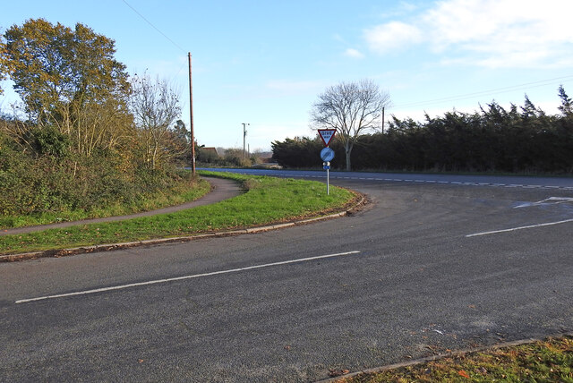
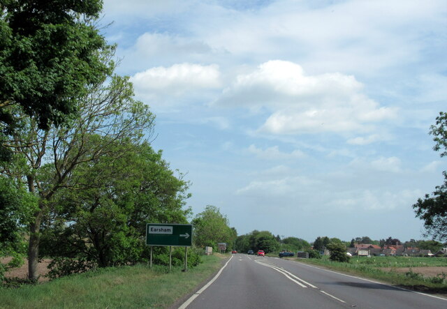
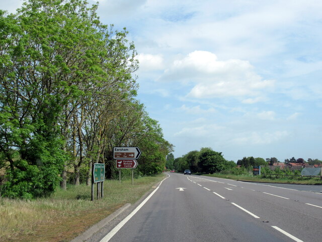
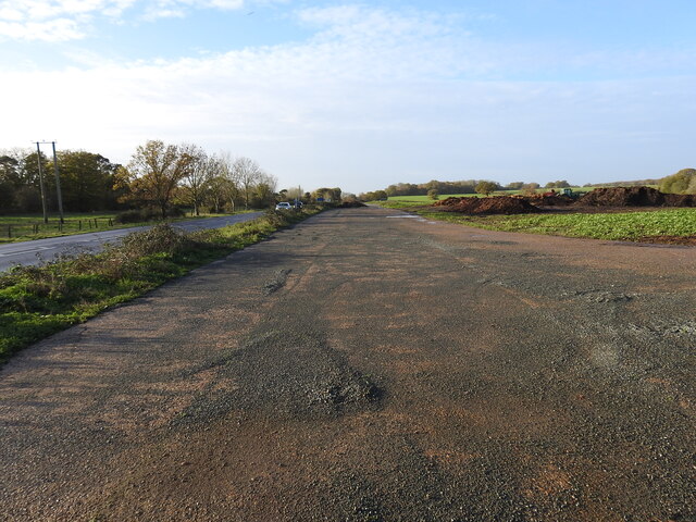
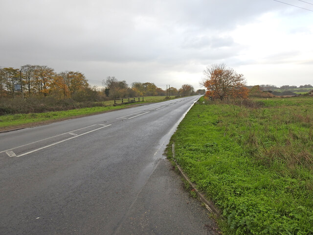
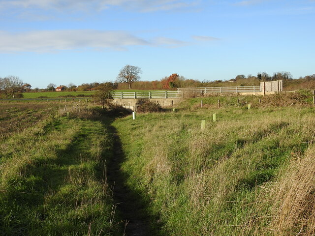
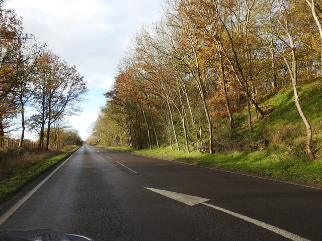
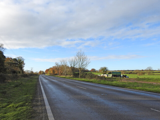
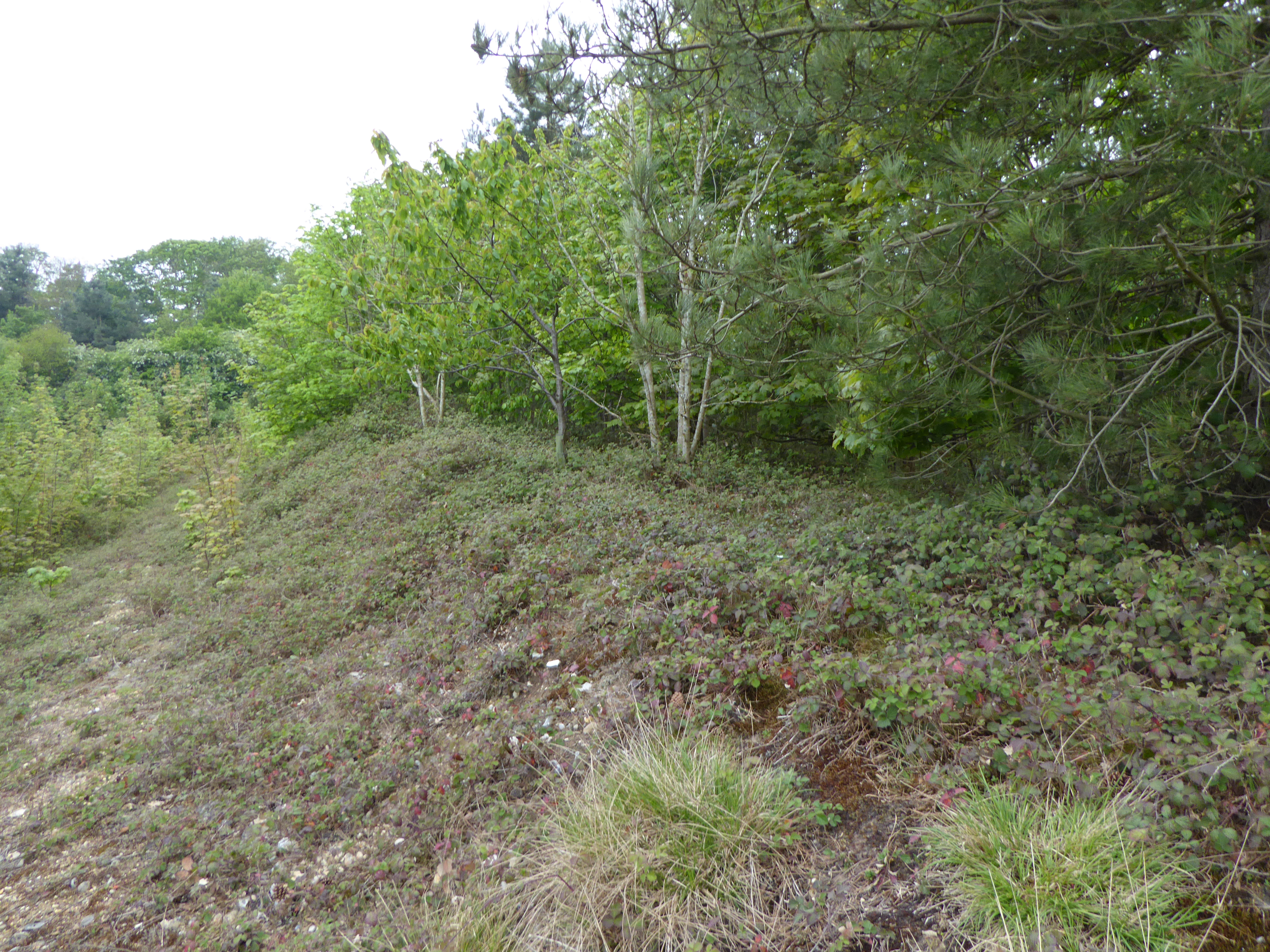
The Lay Pond Images

Images are sourced within 2km of 52.441728/1.3896309 or Grid Reference TM3088. Thanks to Geograph Open Source API. All images are credited.

Site of the Denton Wash level crossing #58 The road was realigned into an 'Z' bend for the crossing as it was almost parallel with the planned alignment of the track. The layout of the new road has blocked access to the road on the other side and constructed a new access to Waveney Farm 120 yards further up the road.
Site of the Denton Wash level crossing #58
The road was realigned into an 'Z' bend for the crossing as it was almost parallel with the planned alignment of the track. The layout of the new road has blocked access to the road on the other side and constructed a new access to Waveney Farm 120 yards further up the road.
A143 east at turning for Earsham
Earsham turning on A143 east
Earsham Hall: Car parking area
Site of the WW2 munitions siding at Earsham This was the access road and the siding ran alongside, to the left of the concrete roadway. It was here that, during WW2, a siding of about 437 yards (400 metres) was constructed north of the track for munitions and other materials to be off-loaded onto trucks for delivery to the local airfields.  In the meantime many of the bombs were stored alongside roads nearby including Whitehouse and Hogg Lane and Denton Road. <a href="https://www.geograph.org.uk/photo/7354966">TM2990 : One of the eight similar hard-standings </a> It was a dispersed USAAF bomb storage facility that had its headquarters at Earsham Hall, which was requisitioned for the purpose. Many of the roadside hard standings remain extant to this day. During the time the siding was in existence more than 200,000 tons of freight, mainly bombs were delivered by 625 special trains.
Site of the WW2 munitions siding at Earsham
This was the access road and the siding ran alongside, to the left of the concrete roadway. It was here that, during WW2, a siding of about 437 yards (400 metres) was constructed north of the track for munitions and other materials to be off-loaded onto trucks for delivery to the local airfields. In the meantime many of the bombs were stored alongside roads nearby including Whitehouse and Hogg Lane and Denton Road. TM2990 : One of the eight similar hard-standings It was a dispersed USAAF bomb storage facility that had its headquarters at Earsham Hall, which was requisitioned for the purpose. Many of the roadside hard standings remain extant to this day. During the time the siding was in existence more than 200,000 tons of freight, mainly bombs were delivered by 625 special trains.
The former Earsham railway station house The old platform is still extant and the sloping end can be seen just in front of the trees.
From the outset Earsham Station was a passenger station and had no goods facilities. The single 310 feet long platform and a signal box were its only other assets, being only a mile west of Bungay additional works were deemed unwarranted. The station bisected Hall Road, the village end of which was thereafter known as Station Road with a level crossing on the Bungay side.
The former Earsham railway station house
The old platform is still extant and the sloping end can be seen just in front of the trees. From the outset Earsham Station was a passenger station and had no goods facilities. The single 310 feet long platform and a signal box were its only other assets, being only a mile west of Bungay additional works were deemed unwarranted. The station bisected Hall Road, the village end of which was thereafter known as Station Road with a level crossing on the Bungay side.
Site of the former level crossing at Earsham This side of the Hall Road has been realigned and widened, but the position of the gates were to the left of the former station between it and the telegraph pole.
The other side of what was Hall Road before it was bisected by the railway was renamed Station Road.
Site of the former level crossing at Earsham
This side of the Hall Road has been realigned and widened, but the position of the gates were to the left of the former station between it and the telegraph pole. The other side of what was Hall Road before it was bisected by the railway was renamed Station Road.
Remains of the 310 feet long station platform at Earsham This picture was taken as if standing on the former level crossing of the railway  which ran this side of the platform with the signal box out from the right side of the picture
Remains of the 310 feet long station platform at Earsham
This picture was taken as if standing on the former level crossing of the railway which ran this side of the platform with the signal box out from the right side of the picture
Underpass on the site of a former level crossing The Waveney Valley line had a level crossing (#61) where this road now passes over an underpass created for the farmer to access the land on the opposite side of the road.
Underpass on the site of a former level crossing
The Waveney Valley line had a level crossing (#61) where this road now passes over an underpass created for the farmer to access the land on the opposite side of the road.
A143 Old Railway Road past the munitions siding West (right) of the road was a loop siding which was installed in 1944 for materials and munitions to be offloaded for storage and onward delivery to the American Bomb Groups at the airfields in the vicinity for final delivery to Germany. A concrete roadway <a href="https://www.geograph.org.uk/photo/7355018">TM3087 : Site of the WW2 munitions siding at Earsham</a> stretched the length of the siding which was about 450 yards (411 metres).
The railings are the site of an underpass which was the location of the level crossing (#61) at Drakes Lane crossing.
A143 Old Railway Road past the munitions siding
West (right) of the road was a loop siding which was installed in 1944 for materials and munitions to be offloaded for storage and onward delivery to the American Bomb Groups at the airfields in the vicinity for final delivery to Germany. A concrete roadway TM3087 : Site of the WW2 munitions siding at Earsham stretched the length of the siding which was about 450 yards (411 metres). The railings are the site of an underpass which was the location of the level crossing (#61) at Drakes Lane crossing.
Underpass, the site of a former level crossing #63 The road alignment has been much altered but this was the site of the Five Acre Lane crossing. There is no sign of a gatekeepers cottage so it was the train crew who would have operated the gates. The gates were removed in 1954 while trains still ran on the line.
The old lane is now a footpath which follows the follows the same route as far as Pheasant's Walk.
Underpass, the site of a former level crossing #63
The road alignment has been much altered but this was the site of the Five Acre Lane crossing. There is no sign of a gatekeepers cottage so it was the train crew who would have operated the gates. The gates were removed in 1954 while trains still ran on the line. The old lane is now a footpath which follows the follows the same route as far as Pheasant's Walk.
The deep cutting at Buck Hills Plantation This was the deepest cutting on the line as it passed by the plantation. It was about 200 yards long, gradually petering out at each end.
The deep cutting at Buck Hills Plantation
This was the deepest cutting on the line as it passed by the plantation. It was about 200 yards long, gradually petering out at each end.
The location of the turnout into Earsham munitions siding The siding a turnout from the down-line was installed early in 1944 for offloading and further distribution of bombs and other munitions and materials to local airfields. In it's short history it received 625 special trains delivering 21,000 wagons, carrying a total of 200,000 tons of bombs and other freight. After unloading bombs were stored at various specified "dumps" beside local roads and in cleared woodland before distribution. see <a href="https://www.geograph.org.uk/photo/1899246">TM3089 : Concrete platform</a> Contemporary maps show it as a siding and not a loop as it is sometimes referred to.  I leave the question open for positive confirmation.
The location of the turnout into Earsham munitions siding
The siding a turnout from the down-line was installed early in 1944 for offloading and further distribution of bombs and other munitions and materials to local airfields. In it's short history it received 625 special trains delivering 21,000 wagons, carrying a total of 200,000 tons of bombs and other freight. After unloading bombs were stored at various specified "dumps" beside local roads and in cleared woodland before distribution. see TM3089 : Concrete platform Contemporary maps show it as a siding and not a loop as it is sometimes referred to. I leave the question open for positive confirmation.
Minor road, Earsham Looking south west.
Minor road, Earsham
Looking south west.
Farmland beside the A143 near Earsham
Minor road junction with the A143 near Earsham
A143 towards Harleston Looking south west near Earsham.
A143 towards Harleston
Looking south west near Earsham.
Farmland off Hall Road
Show me another place!

The Lay Pond is located at Grid Ref: TM3088 (Lat: 52.441728, Lng: 1.3896309)

Administrative County: Norfolk

District: South Norfolk

Police Authority: Norfolk

What 3 Words

///sidelined.galloped.recliner. Near Bungay, Suffolk

Related Wikis

Flixton, The Saints

Flixton is a village and civil parish located in the north of the English county of Suffolk. It is around 2 miles (3.2 km) south-west of Bungay in the...

RAF Bungay

Royal Air Force Bungay or more simply RAF Bungay (known locally as Flixton) is a former Royal Air Force station located 3 miles (4.8 km) south-west of...

Earsham railway station

Earsham was a railway station in Earsham, Norfolk, England. It was located on the Waveney Valley Line which connected Beccles with the Great Eastern Main...

Flixton Priory

Flixton Priory was a nunnery under a prioress following the Augustinian rule, which formerly stood in the parish of Flixton in the north of the English...

Earsham

Earsham is a village and civil parish in the English county of Norfolk. Earsham is located 1.7 kilometres (1.1 mi) west of its postal town of Bungay and...

Denton, Norfolk

Denton is a village and civil parish in the English county of Norfolk. Denton is located 3.8 miles north-east of Harleston and 13 miles south of Norwich...

Abbey Wood, Flixton

Abbey Wood, Flixton is an 18 hectare biological Site of Special Scientific Interest south—west of Bungay in Suffolk. It consists of two adjoining areas...

Flixton Quarry

Flixton Quarry is a 0.7 hectares (1.7 acres) geological Site of Special Scientific Interest 3.75 miles (6.04 km) south-west of Bungay in the English county...

Nearby Amenities

Located within 500m of 52.441728,1.3896309
Power: pole
Lat/Long: 52.4406902/1.3958337
Power: pole
Lat/Long: 52.4421184/1.3958348
Power: pole
Lat/Long: 52.441775/1.3966142
Power: pole
Lat/Long: 52.4426333/1.3945539
Power: pole
Lat/Long: 52.4431346/1.3932932
Power: pole
Lat/Long: 52.4437092/1.3918357
Power: pole
Lat/Long: 52.4438127/1.3913712
Power: pole
Lat/Long: 52.4439798/1.3907555
Power: pole
Lat/Long: 52.4441449/1.3901409
Power: pole
Lat/Long: 52.4443438/1.3894838
Power: pole
Lat/Long: 52.444485/1.3888028
The data included in this document is from www.openstreetmap.org. The data is made available under ODbL.

Have you been to The Lay Pond?

Leave your review of The Lay Pond below (or comments, questions and feedback).