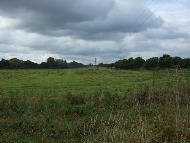
Thornhills Plantation
Wood, Forest in Norfolk South Norfolk
England
Thornhills Plantation
Thornhills Plantation is a historic estate located in Norfolk, Virginia. Situated in a wooded and forested area, the plantation spans acres of lush greenery and natural beauty.
The plantation dates back to the 18th century and was originally a working plantation, known for its production of tobacco and other crops. It was owned by the Thornhill family, who were prominent figures in the colonial era.
The main house on the plantation is a grand and stately mansion, built in the Georgian architectural style. It features a symmetrical design, with a central entrance and large windows that overlook the surrounding landscape. The house is surrounded by well-manicured gardens and lawns, which add to its charm and elegance.
The plantation also includes several outbuildings, such as barns, stables, and slave quarters. These structures provide a glimpse into the daily life on the plantation during the time of its operation.
In addition to its historical significance, Thornhills Plantation is also known for its natural beauty. The estate is nestled in a wooded area, with towering trees and a variety of plant species. The forested landscape provides a peaceful and serene atmosphere, making it a popular destination for nature enthusiasts and history buffs alike.
Today, Thornhills Plantation is open to the public for tours and events. Visitors can explore the grounds, learn about its rich history, and appreciate the beauty of its surroundings. It serves as a reminder of Norfolk's colonial past and the importance of preserving its historical landmarks.
If you have any feedback on the listing, please let us know in the comments section below.
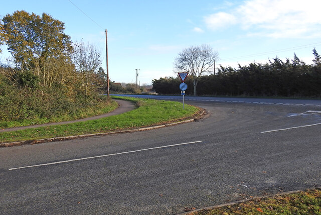
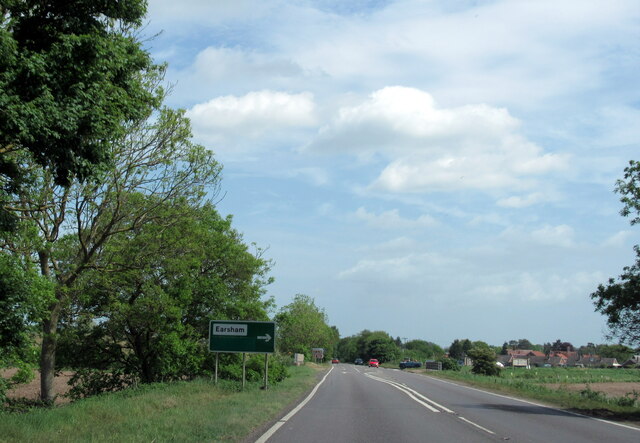
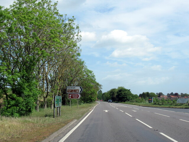
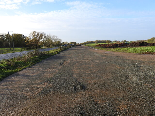
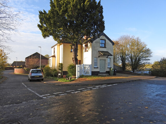
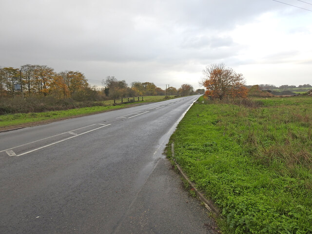
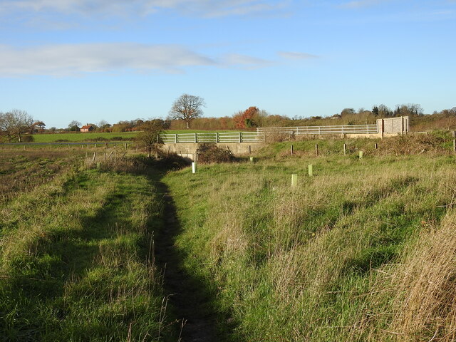
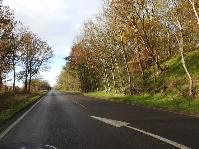
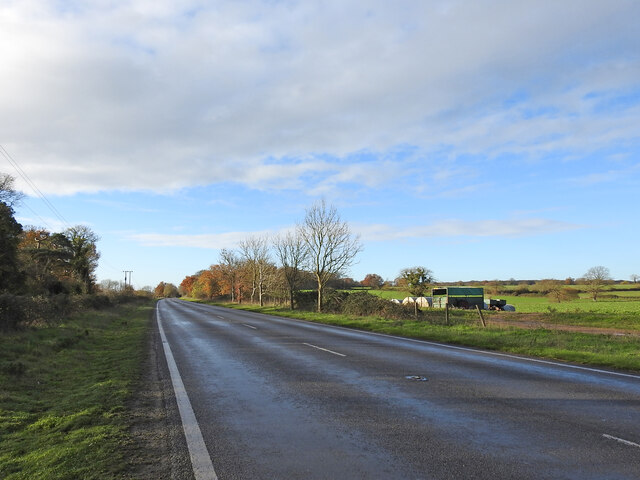
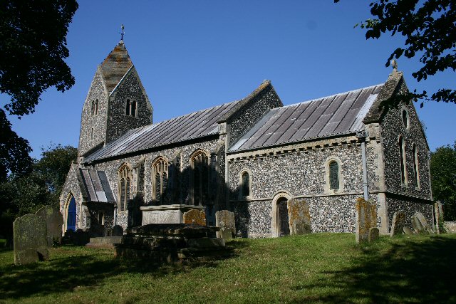
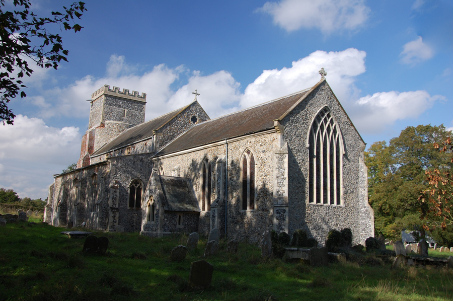
Thornhills Plantation Images
Images are sourced within 2km of 52.446961/1.3959503 or Grid Reference TM3088. Thanks to Geograph Open Source API. All images are credited.

Thornhills Plantation is located at Grid Ref: TM3088 (Lat: 52.446961, Lng: 1.3959503)
Administrative County: Norfolk
District: South Norfolk
Police Authority: Norfolk
What 3 Words
///bronzed.sting.leathers. Near Bungay, Suffolk
Nearby Locations
Related Wikis

Earsham railway station
Earsham was a railway station in Earsham, Norfolk, England. It was located on the Waveney Valley Line which connected Beccles with the Great Eastern Main...

Earsham
Earsham is a village and civil parish in the English county of Norfolk. Earsham is located 1.7 kilometres (1.1 mi) west of its postal town of Bungay and...
Flixton, The Saints
Flixton is a village and civil parish located in the north of the English county of Suffolk. It is around 2 miles (3.2 km) south-west of Bungay in the...

RAF Bungay
Royal Air Force Bungay or more simply RAF Bungay (known locally as Flixton) is a former Royal Air Force station located 3 miles (4.8 km) south-west of...

Flixton Priory
Flixton Priory was a nunnery under a prioress following the Augustinian rule, which formerly stood in the parish of Flixton in the north of the English...

Bungay railway station
Bungay railway station was located on the now disused Waveney Valley Line which ran between Tivetshall and Beccles. The station was closed in 1953 and...
Denton, Norfolk
Denton is a village and civil parish in the English county of Norfolk. Denton is located 3.8 miles north-east of Harleston and 13 miles south of Norwich...

Abbey Wood, Flixton
Abbey Wood, Flixton is an 18 hectare biological Site of Special Scientific Interest south—west of Bungay in Suffolk. It consists of two adjoining areas...
Nearby Amenities
Located within 500m of 52.446961,1.3959503Have you been to Thornhills Plantation?
Leave your review of Thornhills Plantation below (or comments, questions and feedback).