Cut End
Lake, Pool, Pond, Freshwater Marsh in Kent Canterbury
England
Cut End
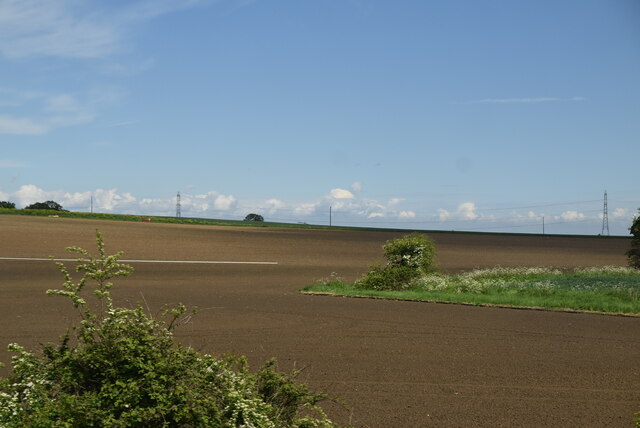
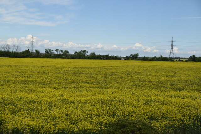
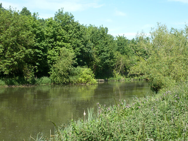
Cut End is a small freshwater marsh located in the county of Kent, England. It is an enclosed body of water that spans an area of approximately 2 acres. The marsh is situated in a low-lying area, surrounded by lush green vegetation and reed beds.
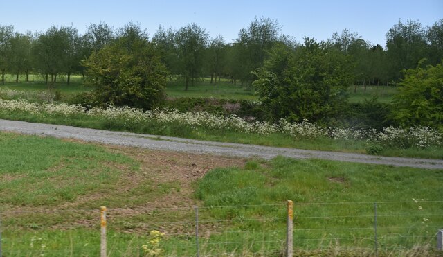
The water in Cut End is sourced from various streams and underground springs, ensuring a constant flow of freshwater throughout the year. The marsh is known for its calm and serene ambiance, offering a peaceful and tranquil environment for visitors to enjoy.
The water in Cut End is relatively shallow, with an average depth of around 3 feet. It is home to a diverse range of aquatic plants such as water lilies, reeds, and rushes, which thrive in the nutrient-rich soil. These plants provide shelter and food for a variety of wildlife species, attracting a plethora of birds, insects, and amphibians.
The marsh is also home to a range of fish species, including perch, roach, and carp. Anglers often visit Cut End to enjoy a day of fishing, taking advantage of the abundant fish population.
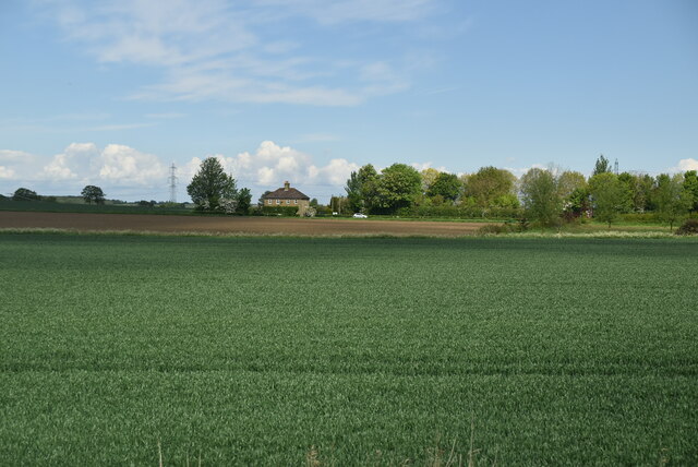
The surrounding area of Cut End is a haven for nature enthusiasts, with walking trails and observation points for visitors to explore and observe the local flora and fauna. The marsh is particularly popular during the summer months when migratory birds make their way to the area, offering a unique opportunity for birdwatchers.
Overall, Cut End in Kent is a charming freshwater marsh that provides a habitat for a diverse range of plants and animals. Its peaceful atmosphere and natural beauty make it a popular destination for both locals and tourists alike.
If you have any feedback on the listing, please let us know in the comments section below.
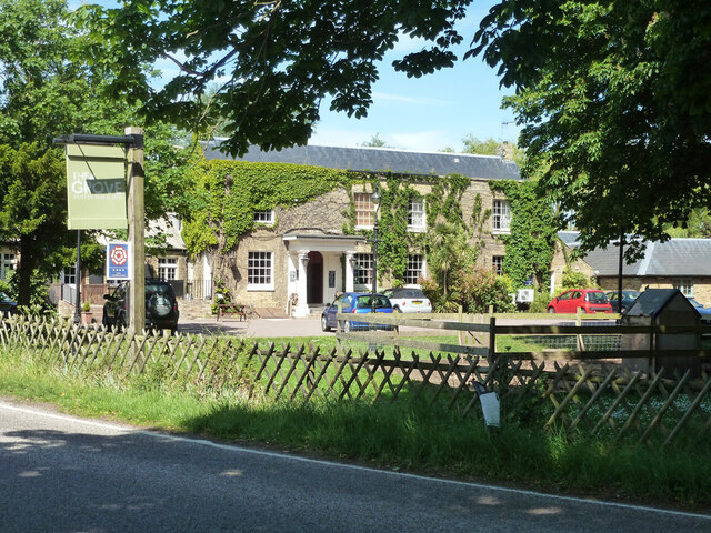
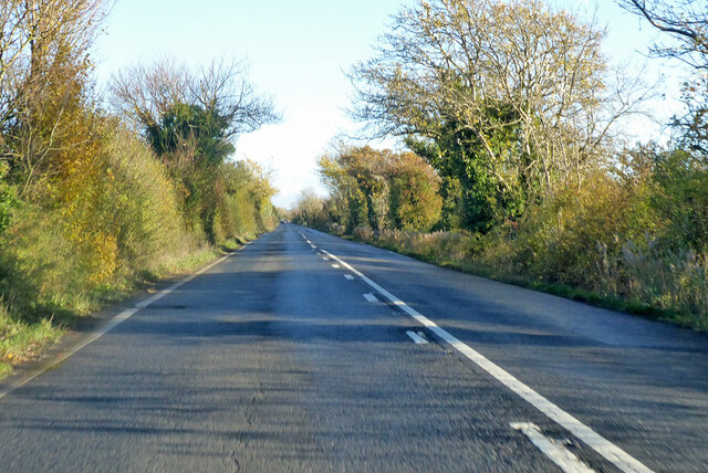
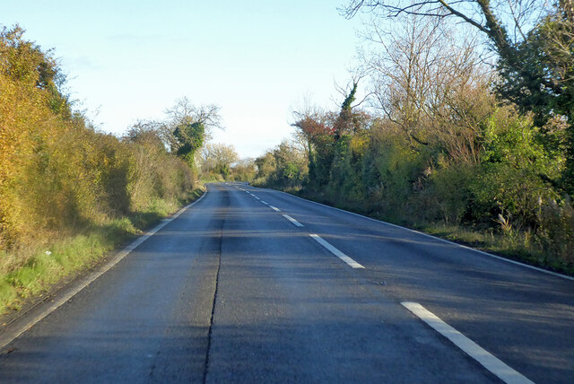
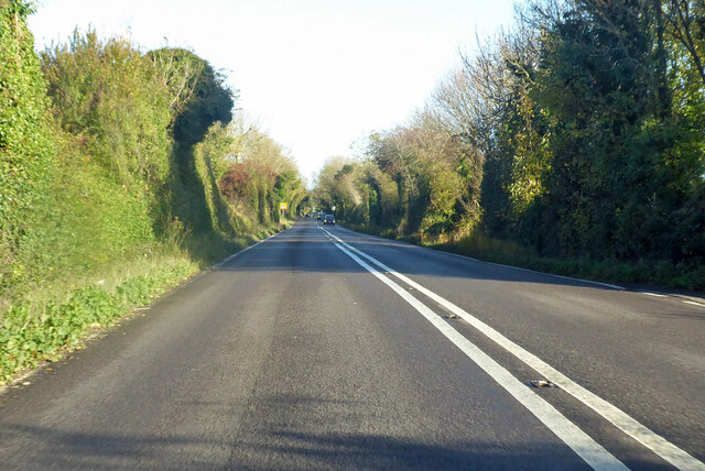
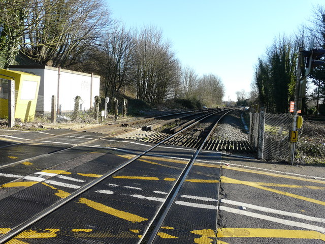
Cut End Images
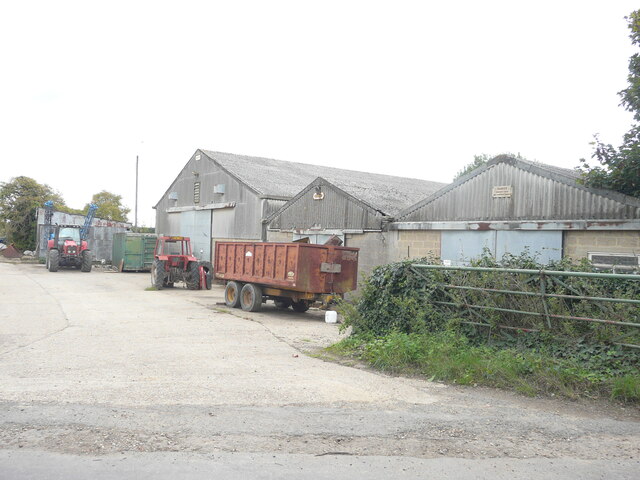
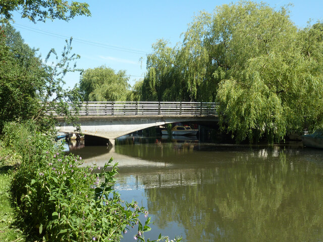
Images are sourced within 2km of 51.331612/1.2303518 or Grid Reference TR2564. Thanks to Geograph Open Source API. All images are credited.

Cut End is located at Grid Ref: TR2564 (Lat: 51.331612, Lng: 1.2303518)
Administrative County: Kent
District: Canterbury
Police Authority: Kent
What 3 Words
///decimals.snails.future. Near Ash, Kent
Related Wikis

Sarre Penn
Sarre Penn is a tributary of the River Stour in Kent, England, joining with the River Wantsum near Sarre, where it is known locally as the Fishbourne...

Sarre, Kent
Sarre is a village and civil parish in Thanet District in Kent, England. The village is a part of St. Nicholas-at-Wade ecclesiastical parish, after having...

Sarre Windmill
Sarre Windmill is a Grade II listed smock mill in Sarre, Kent, England, that was built in 1820. Formerly restored and working commercially, the mill is...
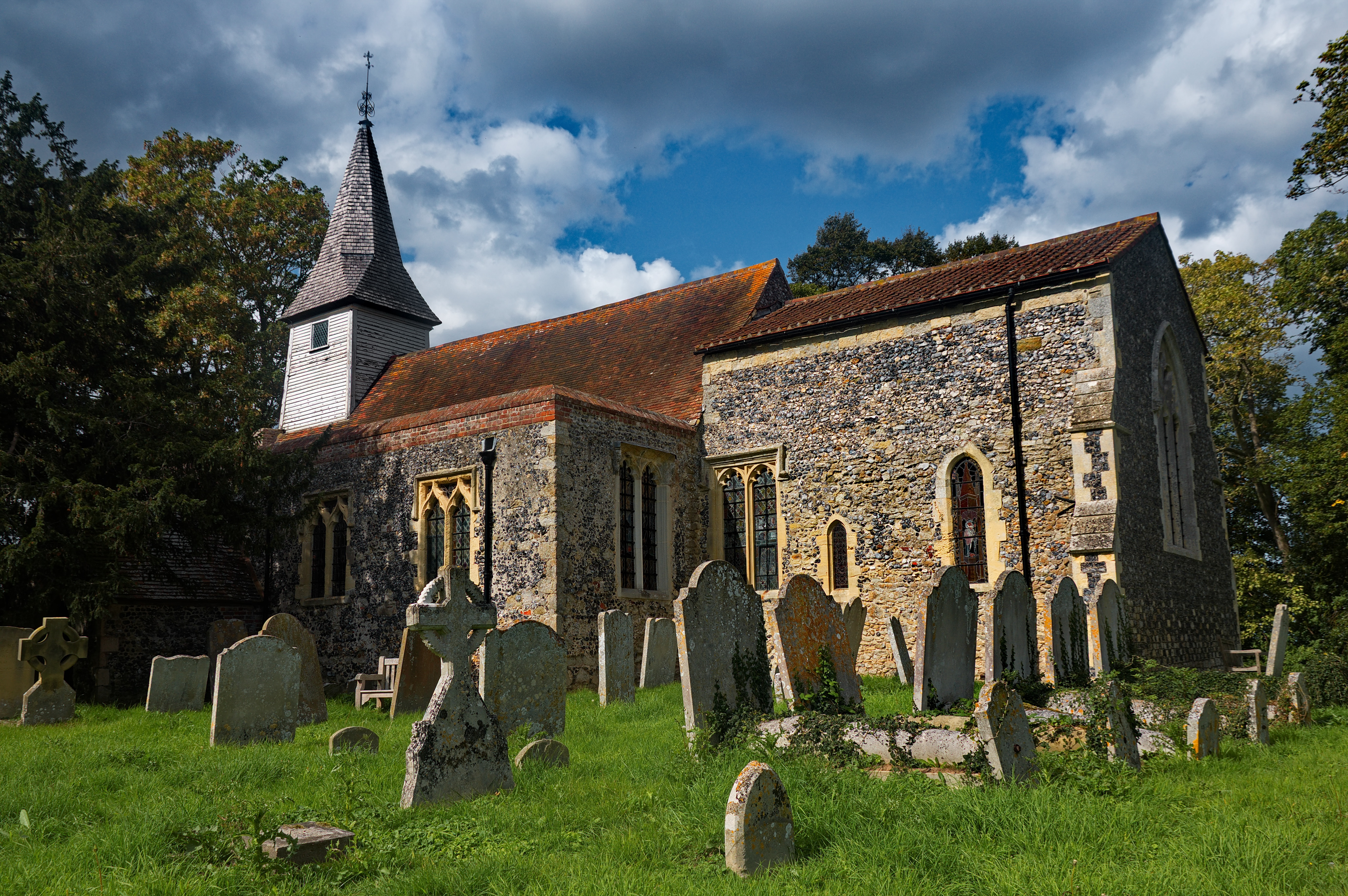
All Saints Church, West Stourmouth
All Saints Church, West Stourmouth, is a redundant Anglican church in the civil parish of Stourmouth, Kent, England. It is recorded in the National Heritage...
Nearby Amenities
Located within 500m of 51.331612,1.2303518Have you been to Cut End?
Leave your review of Cut End below (or comments, questions and feedback).