Sarre

Settlement in Kent Thanet

England

Sarre

Footpath crossing field
Footpath crossing field Credit: N Chadwick

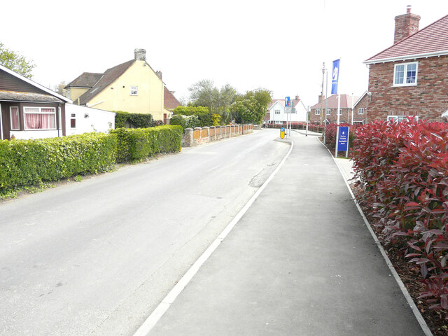
Sarre is a small village located in the county of Kent, England. Situated about 5 miles west of the coastal town of Margate, Sarre is nestled in the picturesque East Kent countryside. The village is primarily known for its rural charm and serene atmosphere.

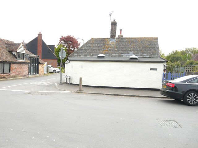
The history of Sarre dates back to the Roman times, with archaeological evidence suggesting human settlement in the area. The village itself is characterized by a mix of architectural styles, ranging from medieval to modern, showcasing its rich heritage. Sarre boasts several historic buildings, including St. Nicholas Church, a beautiful medieval structure that attracts visitors with its intricate stonework and stained glass windows.

Despite its small size, Sarre offers a range of amenities for its residents and visitors. The village has a well-regarded primary school, providing education for local children. Additionally, Sarre is home to a local pub, The Crown Inn, which serves as a social hub for the community and welcomes visitors with its warm atmosphere and traditional British fare.

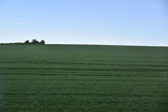
Surrounded by rolling countryside, Sarre is a haven for nature lovers and outdoor enthusiasts. The village is situated near the North Downs, offering excellent opportunities for walking, hiking, and exploring the scenic landscape. Additionally, the nearby coast provides the chance to enjoy seaside activities, with Margate’s sandy beaches and vibrant entertainment options just a short drive away.

In conclusion, Sarre is a charming village in Kent, offering a peaceful and idyllic setting for residents and visitors alike. Its rich history, picturesque surroundings, and community spirit make it a delightful place to explore and experience the beauty of the English countryside.

If you have any feedback on the listing, please let us know in the comments section below.

Sarre Images

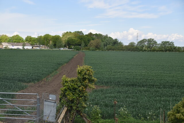
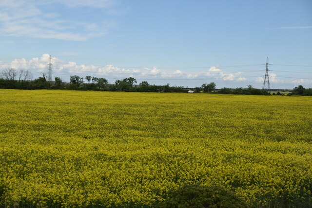
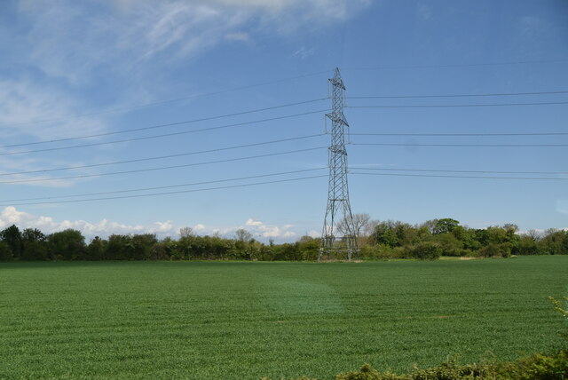
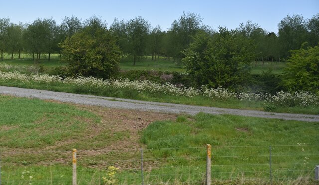
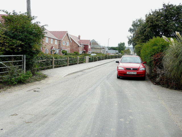
Images are sourced within 2km of 51.338301/1.239359 or Grid Reference TR2564. Thanks to Geograph Open Source API. All images are credited.

Footpath crossing field
Oilseed rape Rapeseed (Brassica napus), also known as rape, oilseed rape and canola, is a bright yellow flowering member of the family Brassicaceae (mustard or cabbage family).
Rapeseed is grown for the production of animal feed, vegetable oil for human consumption, and increasingly biodiesel; leading producers include the European Union, Canada, the United States, Australia, China and India.
Oilseed rape
Rapeseed (Brassica napus), also known as rape, oilseed rape and canola, is a bright yellow flowering member of the family Brassicaceae (mustard or cabbage family). Rapeseed is grown for the production of animal feed, vegetable oil for human consumption, and increasingly biodiesel; leading producers include the European Union, Canada, the United States, Australia, China and India.
Pylon in field
Pylon in field
Track by railway line
Arable landscape
Arable landscape
Pylons
Pylons
Parish Close The road forms part of a housing development named Heritage Fields.
Parish Close
The road forms part of a housing development named Heritage Fields.
Manor Road Taking a right turn after the keep left road sign leads one into <a href="https://www.geograph.org.uk/photo/7178391">TR2666 : Parish Close</a>, which in January 2019 was the entrance to the <a href="https://www.geograph.org.uk/photo/6024262">TR2666 : Construction site, Manor Road</a> of Heritage Fields.
Manor Road
Taking a right turn after the keep left road sign leads one into TR2666 : Parish Close, which in January 2019 was the entrance to the TR2666 : Construction site, Manor Road of Heritage Fields.
Packham Cottage, The Street
The Forge, The Length In December 2013, <a href="https://www.geograph.org.uk/photo/3797871">TR2666 : The Forge, The Length</a> was undergoing work for a single storey extension together with the insertion of a glazed wall, one roof light and internal alterations.
The Forge, The Length
In December 2013, TR2666 : The Forge, The Length was undergoing work for a single storey extension together with the insertion of a glazed wall, one roof light and internal alterations.
The Street At the far end is the tower of St Nicholas’ church with the village hall, just beyond the parked cars on the right.
The Street
At the far end is the tower of St Nicholas’ church with the village hall, just beyond the parked cars on the right.
St Nicholas at Wade post office, The Length Little appears to have changed to the building since Chris Downer’s view of <a href="https://www.geograph.org.uk/photo/3007983">TR2666 : St. Nicholas-at-Wade: the post office</a> in June 2012.
St Nicholas at Wade post office, The Length
Little appears to have changed to the building since Chris Downer’s view of TR2666 : St. Nicholas-at-Wade: the post office in June 2012.
Building site, The Length Planning permission has been granted by Thanet District Council under application number F/TH/19/1231 for the “erection of 34 dwellings, together with associated landscaping, parking and access”. 

The development has been named The Stables.
Building site, The Length
Planning permission has been granted by Thanet District Council under application number F/TH/19/1231 for the “erection of 34 dwellings, together with associated landscaping, parking and access”. The development has been named The Stables.
The Forge, The Length Viewed from Manor Road, this was <a href="https://www.geograph.org.uk/photo/3797871">TR2666 : The Forge, The Length</a>, when it was undergoing external and internal alterations. This view of <a href="https://www.geograph.org.uk/photo/7181086">TR2666 : The Forge, The Length</a> shows the frontage of the premises.
The Forge, The Length
Viewed from Manor Road, this was TR2666 : The Forge, The Length, when it was undergoing external and internal alterations. This view of TR2666 : The Forge, The Length shows the frontage of the premises.
Manor Road The houses, under construction, form part of a development called Heritage Fields.
Manor Road
The houses, under construction, form part of a development called Heritage Fields.
Manor Road The house, under construction, forms part of a development called Heritage Fields.  The gate would once have given access to agricultural land.
Manor Road
The house, under construction, forms part of a development called Heritage Fields. The gate would once have given access to agricultural land.
The Length A similar view of <a href="https://www.geograph.org.uk/photo/7183002">TR2666 : Building site, The Length</a> from the west-south-west; the development has been named The Stables.
The Length
A similar view of TR2666 : Building site, The Length from the west-south-west; the development has been named The Stables.
The Length A similar view of <a href="https://www.geograph.org.uk/photo/7183002">TR2666 : Building site, The Length</a> from the west-south-west; the development has been named The Stables.  At far end of the road is the tower of St Nicholas 'church.
The Length
A similar view of TR2666 : Building site, The Length from the west-south-west; the development has been named The Stables. At far end of the road is the tower of St Nicholas 'church.
Show me another place!

Sarre is located at Grid Ref: TR2564 (Lat: 51.338301, Lng: 1.239359)

Administrative County: Kent

District: Thanet

Police Authority: Kent

What 3 Words

///rollover.coins.deserved. Near Birchington-on-Sea, Kent

Nearby Locations

Cut End Sarre

Related Wikis

Sarre, Kent

Sarre is a village and civil parish in Thanet District in Kent, England. The village is a part of St. Nicholas-at-Wade ecclesiastical parish, after having...

Sarre Windmill

Sarre Windmill is a Grade II listed smock mill in Sarre, Kent, England, that was built in 1820. Formerly restored and working commercially, the mill is...

Sarre Penn

Sarre Penn is a tributary of the River Stour in Kent, England, joining with the River Wantsum near Sarre, where it is known locally as the Fishbourne...

Little Stour

The Little Stour is one of the tributaries of the River Stour in the English county of Kent. The upper reaches of the river is known as the Nailbourne...

Nearby Amenities

Located within 500m of 51.338301,1.239359
Mini Roundabout
Direction: clockwise
Lat/Long: 51.3392629/1.2392011
Bus Stop
Crown Inn
Bench: yes
Bin: no
Flag: yes
Naptan AtcoCode: 2400A040100A
Naptan Bearing: E
Naptan CommonName: Crown Inn
Naptan Indicator: opp
Naptan Landmark: Crown Inn
Naptan NaptanCode: kntdptmt
Naptan Street: Canterbury Road
Naptan Verified: no
Public Transport: platform
Ref: kntdptmt
Shelter: yes
Source: naptan_import
Tactile Paving: no
Lat/Long: 51.3394145/1.2400199
Bus Stop
Crown Inn
Naptan AtcoCode: 2400A040110A
Naptan Bearing: W
Naptan CommonName: Crown Inn
Naptan Indicator: adj
Naptan Landmark: Crown Inn
Naptan NaptanCode: kntdptmw
Naptan Street: Canterbury Road
Naptan Verified: no
Public Transport: platform
Ref: kntdptmw
Source: naptan_import
Lat/Long: 51.3392931/1.2401836
Sarre Windmill
Man Made: windmill
Wikidata: Q15275487
Lat/Long: 51.3398922/1.2430231
Cafe
Sarre Tearooms
Lat/Long: 51.3398736/1.2431031
Parking
Sarre Windmill
Parking: surface
Lat/Long: 51.3397153/1.2432128
Post Box
Brand: Royal Mail
Brand Wikidata: Q638098
Brand Wikipedia: en:Royal Mail
Check Date: 2021-09-16
Collection Times: Mo-Fr 16:30; Sa 10:30
Operator: Royal Mail
Operator Wikidata: Q638098
Post Box Mounting: wall
Post Box Type: wall
Postal Code: CT7
Ref: CT7 6
Royal Cypher: GR
Royal Cypher Wikidata: Q33102273
Source: survey
Lat/Long: 51.3394356/1.2389218
Noexit: yes
Lat/Long: 51.3388295/1.240248
Railway: level_crossing
Source: Bing
Lat/Long: 51.3353983/1.2404103
Crossing
Crossing: uncontrolled
Crossing Island: yes
Crossing Ref: island
Tactile Paving: yes
Lat/Long: 51.3394292/1.240564
Power: pole
Lat/Long: 51.3397232/1.2458891
Power: pole
Lat/Long: 51.3396109/1.2448015
Power: pole
Lat/Long: 51.3395188/1.2437501
Power: pole
Lat/Long: 51.3394149/1.2428529
Sarre
Place: village
Wikidata: Q7424565
Lat/Long: 51.3388787/1.2385156
Railway: level_crossing
Source: Bing
Lat/Long: 51.3354258/1.240342
SH FID 36
Power: tower
Lat/Long: 51.3342666/1.2373415
Generator Method: photovoltaic
Generator Output Electricity: yes
Generator Source: solar
Generator Type: solar_photovoltaic_panel
Location: roof
Power: generator
Lat/Long: 51.3376214/1.2326775
Turning Loop
Lat/Long: 51.3408379/1.2355745
Defibrillator
Booth: K6
Defibrillator Location: In former telephone kiosk
Disused Amenity: telephone
Emergency: defibrillator
Lat/Long: 51.3393819/1.2388951
Crossing
Crossing: unmarked
Crossing Island: yes
Tactile Paving: yes
Lat/Long: 51.3392793/1.2390341
The data included in this document is from www.openstreetmap.org. The data is made available under ODbL.

Have you been to Sarre?

Leave your review of Sarre below (or comments, questions and feedback).