Bobbit's Hole
Lake, Pool, Pond, Freshwater Marsh in Essex Tendring
England
Bobbit's Hole

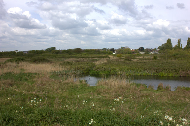
Bobbit's Hole is a picturesque freshwater marsh located in Essex, England. Nestled within the rural landscape, this natural marvel is a well-known destination for nature enthusiasts and birdwatchers alike. Spanning approximately 10 acres, Bobbit's Hole is an oasis of tranquility, offering a diverse range of habitats and an abundance of wildlife.
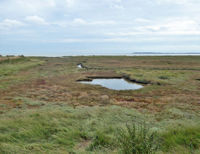
The main feature of Bobbit's Hole is its expansive lake, which covers the majority of the area. The lake is surrounded by lush vegetation, including reeds, water lilies, and various aquatic plants, creating a haven for many species of birds and aquatic animals. The calm and serene waters of the lake provide a perfect nesting ground for waterfowl such as swans, ducks, and geese, while fish such as carp and tench thrive beneath the surface.
The surrounding marshland and woodland areas surrounding the lake are equally as captivating. The marsh is home to a variety of plant species, including sedges and rushes, which provide shelter and food for a range of insects and small animals. The woodlands are filled with mature trees, including oak and willow, offering shade and a safe haven for numerous bird species.
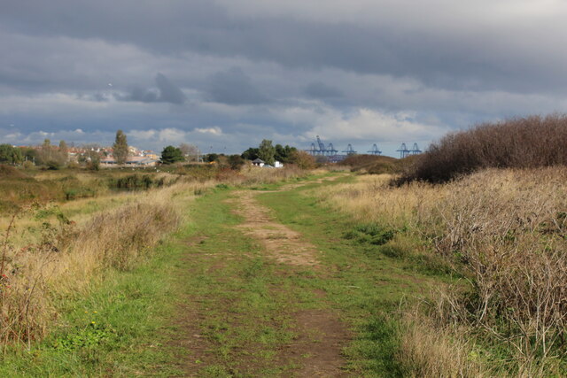
Visitors to Bobbit's Hole can enjoy a peaceful stroll along the well-maintained footpaths that crisscross the area, allowing for close observation of the diverse flora and fauna. The site also provides several viewpoints and bird hides, enabling visitors to observe the many species of birds that frequent the area, including herons, egrets, and kingfishers.
Overall, Bobbit's Hole is a hidden gem in the Essex countryside, offering a unique opportunity to experience and appreciate the natural beauty of a freshwater marsh ecosystem. Whether it is birdwatching, photography, or simply enjoying a tranquil walk in nature, this enchanting location has something to offer for everyone.
If you have any feedback on the listing, please let us know in the comments section below.
Bobbit's Hole Images
Images are sourced within 2km of 51.936299/1.2738559 or Grid Reference TM2531. Thanks to Geograph Open Source API. All images are credited.


Bobbit's Hole is located at Grid Ref: TM2531 (Lat: 51.936299, Lng: 1.2738559)
Administrative County: Essex
District: Tendring
Police Authority: Essex
What 3 Words
///things.flattens.porridge. Near Dovercourt, Essex
Nearby Locations
Related Wikis

Harwich & Parkeston F.C.
Harwich & Parkeston Football Club is an English football club based in Harwich, Essex. The club are currently members of the Eastern Counties League Division...
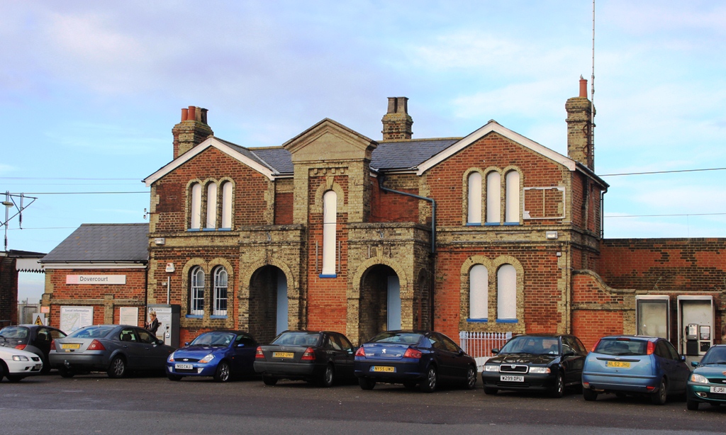
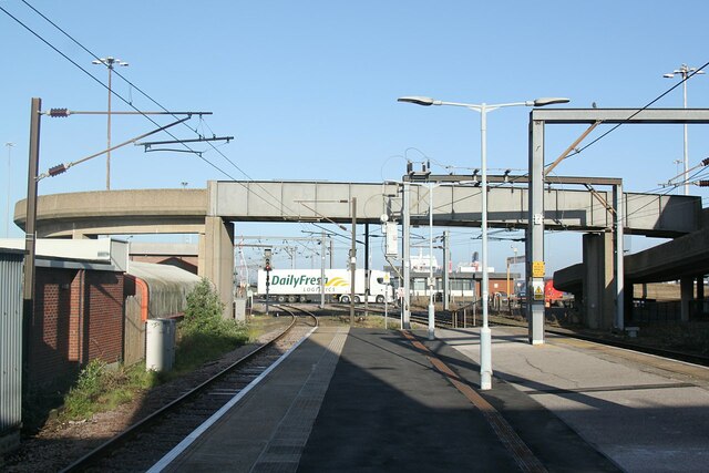
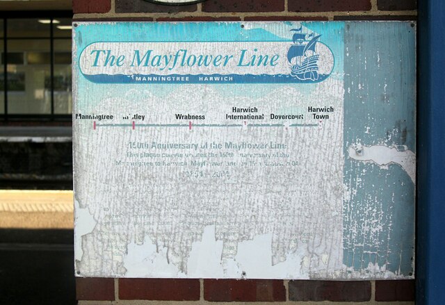
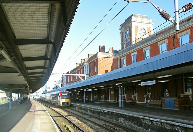
Dovercourt railway station
Dovercourt railway station is on the Mayflower Line, a branch of the Great Eastern Main Line, in the East of England, serving the seaside town of Dovercourt...

Harwich
Harwich is a town in Essex, England, and one of the Haven ports on the North Sea coast. It is in the Tendring district. Nearby places include Felixstowe...

Dovercourt
Dovercourt is a seaside town and former civil parish, now in the parish of Harwich, in the Tendring district, in the county of Essex, England. It is older...
Beacon Hill Battery
Beacon Hill Battery (also known as Beacon Hill Fort) is a late-19th and 20th century coastal fortification that was built to defend the port of Harwich...

Harwich and Dovercourt High School
Harwich and Dovercourt High School is a secondary school and sixth form with academy status, located in Harwich in the English county of Essex. It was...
Bath Side Battery
Bath Side Battery was built in 1811 to cover the anchorage of the port of Harwich, Essex, England as part of the same complex as the Redoubt, armed with...

Harwich Redoubt
Harwich Redoubt is a circular fort built in 1808 to defend the port of Harwich, Essex from Napoleonic invasion. The Harwich Society opens it to the public...
Nearby Amenities
Located within 500m of 51.936299,1.2738559Have you been to Bobbit's Hole?
Leave your review of Bobbit's Hole below (or comments, questions and feedback).