Alton Water
Lake, Pool, Pond, Freshwater Marsh in Suffolk Babergh
England
Alton Water
Alton Water, located in Suffolk, England, is a picturesque reservoir that serves as a vital water supply for the region. Covering an area of approximately 400 acres, it is surrounded by beautiful countryside and provides a tranquil escape for visitors and locals alike.
Originally constructed in the 1970s, Alton Water was created by damming the River Gipping. The reservoir has a capacity of over 1,000 million gallons of water, making it an important resource for the surrounding towns and villages.
The main feature of Alton Water is, of course, its expansive lake. The lake offers a range of recreational activities, including sailing, windsurfing, and canoeing. It is also a popular spot for fishing enthusiasts, with an abundance of freshwater fish species such as pike, perch, and roach.
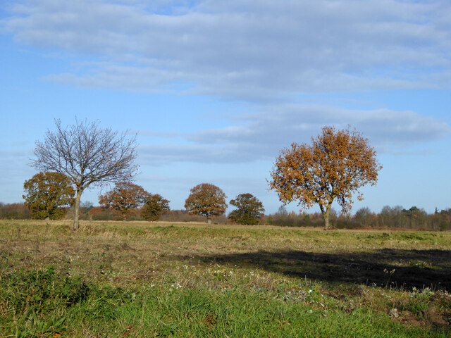
Surrounding the lake, there are several pools and ponds that provide a haven for wildlife. These areas attract a diverse range of bird species, including herons, kingfishers, and ducks. The freshwater marshes that fringe the lake are home to various plants, insects, and amphibians, creating a rich and biodiverse ecosystem.
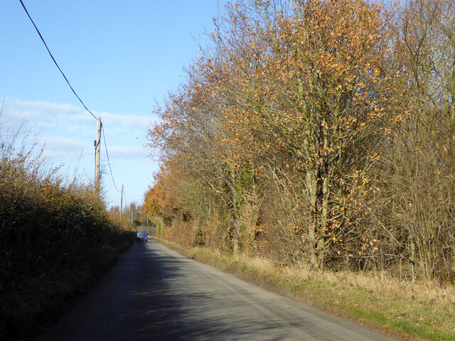
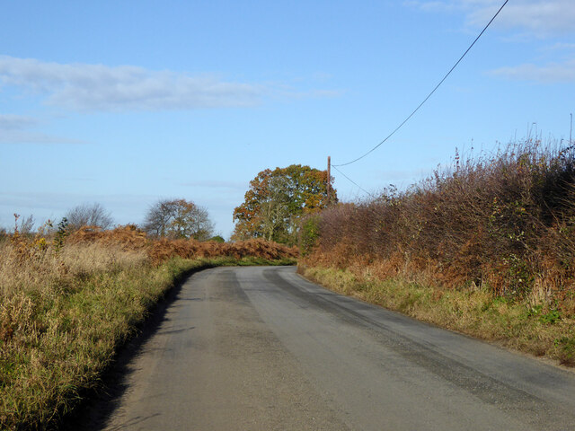
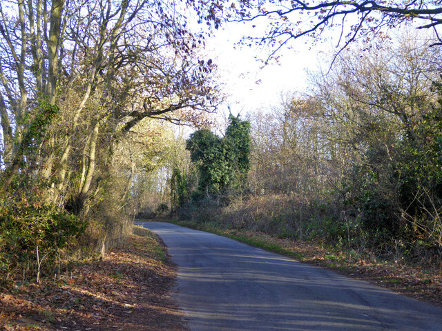
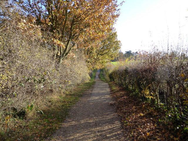
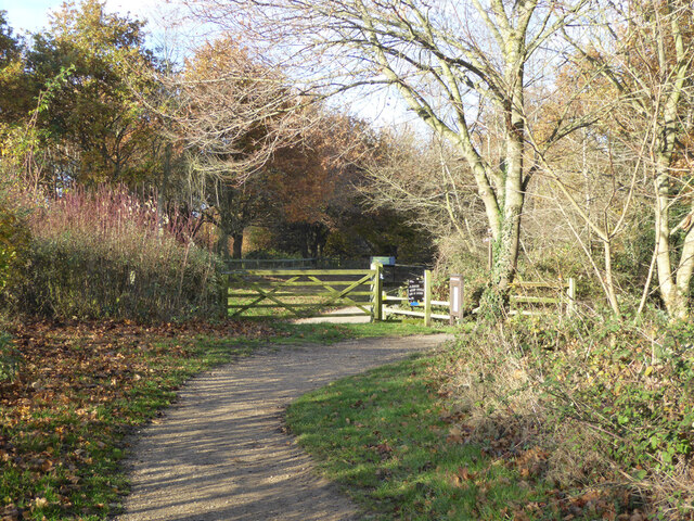
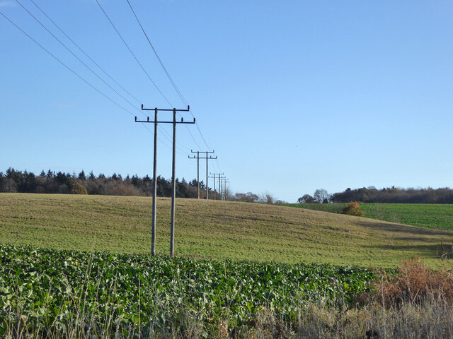
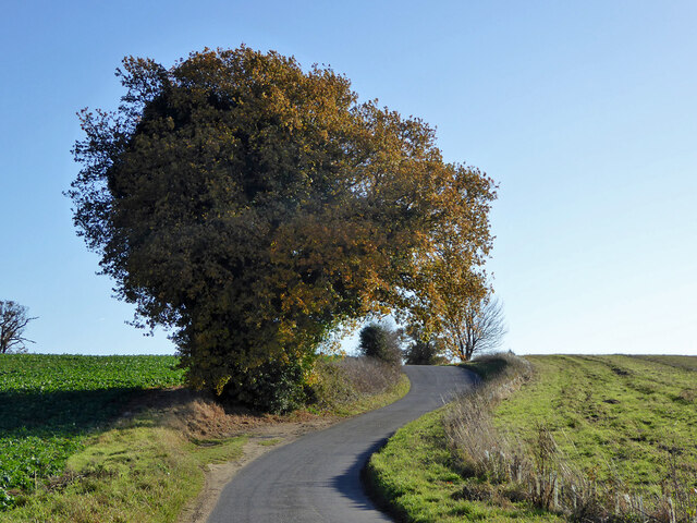
Alton Water boasts a well-maintained network of footpaths and cycle routes, allowing visitors to explore the surrounding countryside and take in the stunning views. The reservoir also has a visitor center, where visitors can learn more about the history and wildlife of the area, as well as enjoy refreshments and facilities.
Overall, Alton Water is not only a vital water source for Suffolk, but also a beautiful recreational area that offers a range of activities and opportunities for nature lovers and outdoor enthusiasts to enjoy.
If you have any feedback on the listing, please let us know in the comments section below.
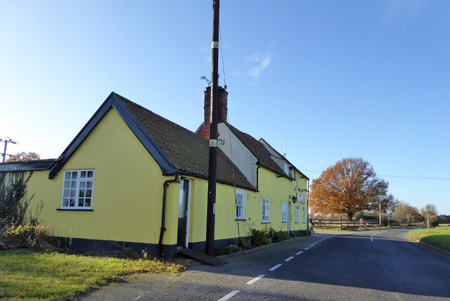
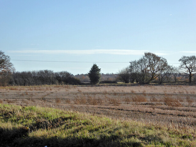
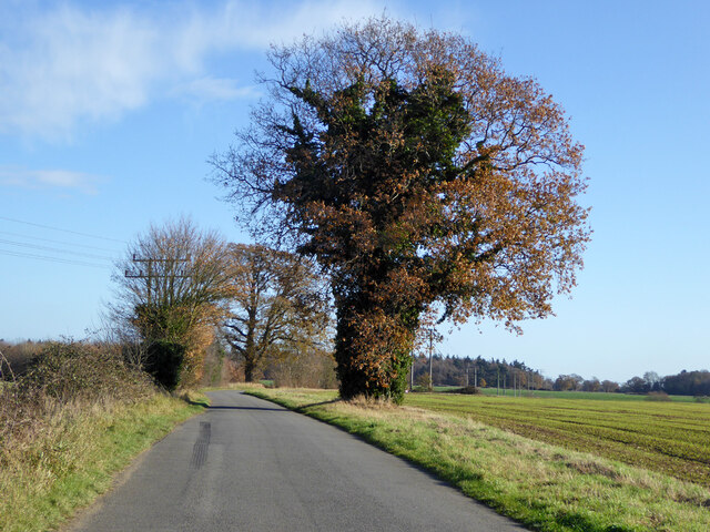
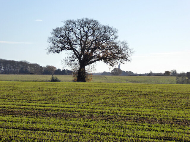
Alton Water Images
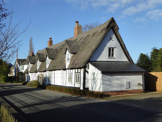
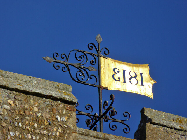
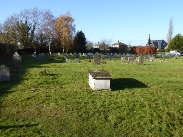
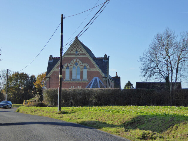
Images are sourced within 2km of 51.984321/1.1259552 or Grid Reference TM1436. Thanks to Geograph Open Source API. All images are credited.
Alton Water is located at Grid Ref: TM1436 (Lat: 51.984321, Lng: 1.1259552)
Administrative County: Suffolk
District: Babergh
Police Authority: Suffolk
What 3 Words
///icebergs.blinks.obligated. Near Holbrook, Suffolk
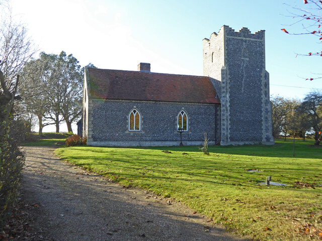
Nearby Locations
Related Wikis

Alton Water
Alton Water (or Alton Reservoir) is a manmade reservoir located on the Shotley peninsula. It is the largest in Suffolk, with a perimeter of over 8 miles...
Tattingstone Wonder
The Tattingstone Wonder is a folly at Tattingstone in Suffolk, England. Located some 6 miles (9.7 km) south of Ipswich the Tattingstone Wonder was originally...

Tattingstone
Tattingstone is a village and civil parish in Suffolk, England. It is situated on the Shotley peninsula, about 5 miles (8 km) south of Ipswich. The 2011...

Stutton, Suffolk
Stutton is a small village and a civil parish approximately seven miles south of Ipswich in Suffolk, United Kingdom, on the Shotley peninsula. The village...

Blackbourn Hundred
Blackbourn was a hundred of Suffolk, consisting of 66,272 acres (26,819 ha). Blackbourn hundred was situated in the north-west of Suffolk. Its northern...
Samford Hundred
Samford was a hundred of Suffolk, consisting of 44,940 acres (181.9 km2). It was situated to the south and south west of Ipswich. The hundred was bounded...
Royal Hospital School
The Royal Hospital School (usually shortened as "RHS" and historically nicknamed "The Cradle of the Navy") is a British co-educational fee-charging boarding...
Holbrook Academy, Suffolk
Holbrook Academy is a secondary school with academy status located in the village of Holbrook, 5 miles (8 km) south of Ipswich in the English county of...
Nearby Amenities
Located within 500m of 51.984321,1.1259552Have you been to Alton Water?
Leave your review of Alton Water below (or comments, questions and feedback).