Larch Wood
Wood, Forest in Suffolk Babergh
England
Larch Wood
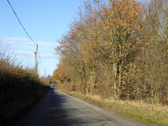
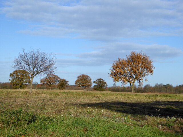
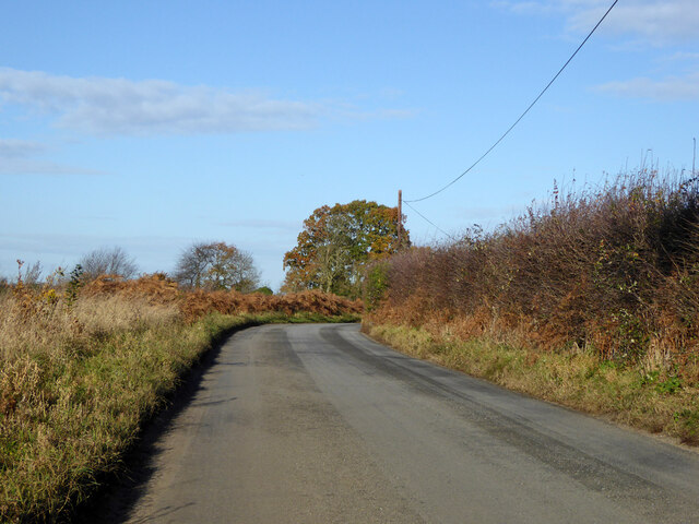
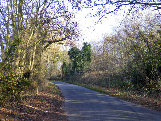
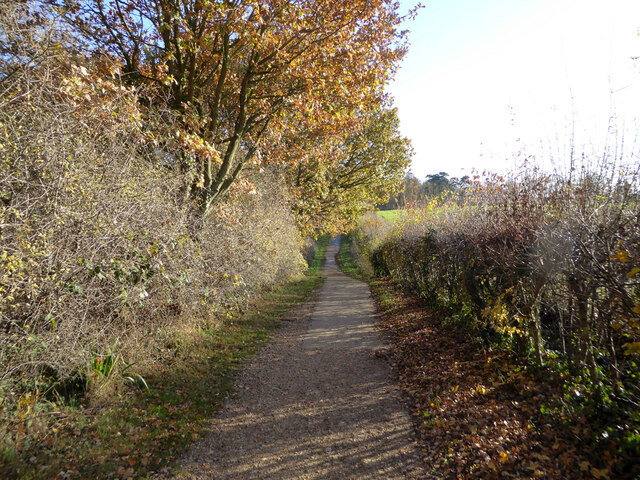
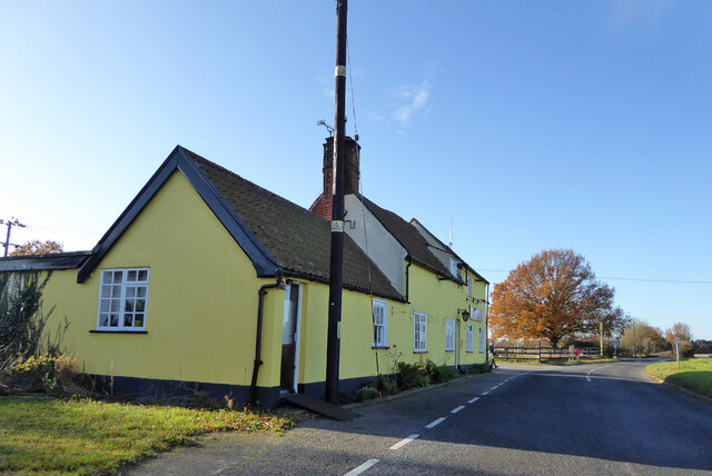
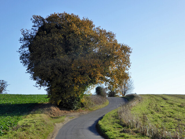
Larch Wood is a picturesque forest located in Suffolk, England. Situated on the eastern coast of the country, this woodland area covers a vast expanse of approximately 500 acres. It is renowned for its dense population of larch trees, which provide a rich and vibrant landscape throughout the year.
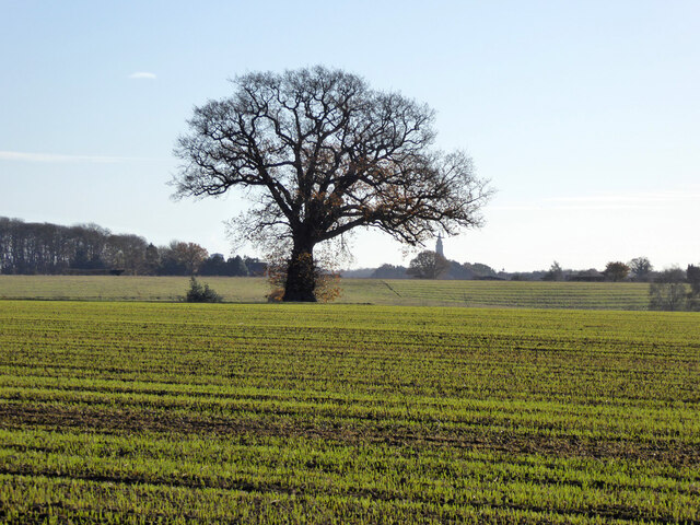
The larch trees in this woodland are known for their tall and slender appearance, with their needles turning a beautiful golden color in the autumn months before shedding for the winter. This seasonal transformation makes Larch Wood a popular destination for nature enthusiasts and photographers alike.
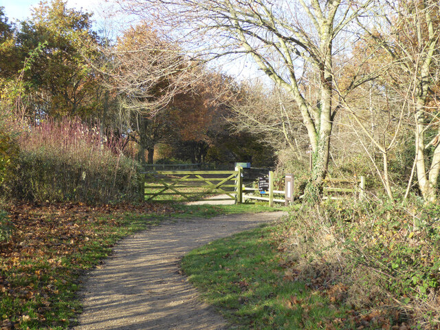
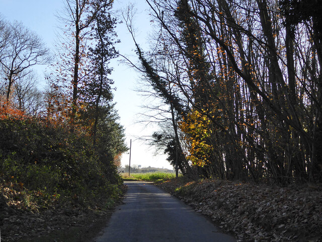
The forest is home to a diverse range of flora and fauna, with various species of birds, mammals, and insects inhabiting the area. It is not uncommon to spot deer, foxes, and rabbits roaming freely through the woods. The tranquil atmosphere and abundance of wildlife make Larch Wood an ideal place for nature walks and birdwatching.
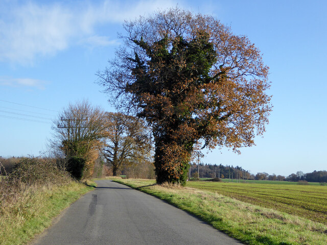
There are several well-maintained trails and footpaths that wind their way through the forest, offering visitors the opportunity to explore and appreciate the natural beauty of the area. The forest is also equipped with picnic areas and benches, providing a perfect spot for visitors to relax and enjoy a peaceful day surrounded by nature.
Larch Wood, Suffolk is easily accessible by both car and public transportation, with ample parking available nearby. Whether you are a nature lover, a photographer, or simply seeking a peaceful retreat, Larch Wood offers a serene and enchanting experience for all who venture into its wooded depths.
If you have any feedback on the listing, please let us know in the comments section below.
Larch Wood Images
Images are sourced within 2km of 51.982863/1.1198817 or Grid Reference TM1436. Thanks to Geograph Open Source API. All images are credited.
Larch Wood is located at Grid Ref: TM1436 (Lat: 51.982863, Lng: 1.1198817)
Administrative County: Suffolk
District: Babergh
Police Authority: Suffolk
What 3 Words
///backfired.sounding.outpost. Near Holbrook, Suffolk
Nearby Locations
Related Wikis
Tattingstone Wonder
The Tattingstone Wonder is a folly at Tattingstone in Suffolk, England. Located some 6 miles (9.7 km) south of Ipswich the Tattingstone Wonder was originally...

Alton Water
Alton Water (or Alton Reservoir) is a manmade reservoir located on the Shotley peninsula. It is the largest in Suffolk, with a perimeter of over 8 miles...

Tattingstone
Tattingstone is a village and civil parish in Suffolk, England. It is situated on the Shotley peninsula, about 5 miles (8 km) south of Ipswich. The 2011...

Stutton, Suffolk
Stutton is a small village and a civil parish approximately seven miles south of Ipswich in Suffolk, United Kingdom, on the Shotley peninsula. The village...
Related Videos
Wild camp on the River Stour, Suffolk 28/12/19 #wildcamp #youtubermeetup
Just a short video recapping our recent mad capped adventure, getting lost, bushwhacking, jumping ditches, and finally reaching ...

Stour and Orwell Walk Stage 4 Pin Mill to Lower Holbrook 11.5m/ 18.5 km 8/12/19 #longdistancewalk
We embarked on Stage 4 of the Stour & Orwell walk, Pin Mill to Lower Holbrook 11.5 miles/ 18.5 Kilometers. This was a ...

Ethel’s WONKY WHEEL and OFF GRID Chit Chat at Tattingstone | Vlog 352
We take Ethel our little white Skoda Citigo to Simpsons of Great Yarmouth for annual service and repairs. We also spend the ...
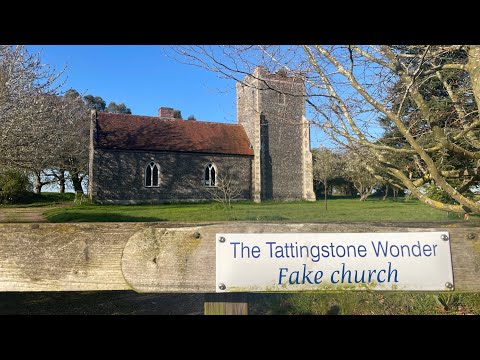
The Tattingstone Wonder Fake Church
Located some 6 miles (9.7 km) south of Ipswich the Tattingstone Wonder was originally two cottages. In 1790 Edward White, the ...
Nearby Amenities
Located within 500m of 51.982863,1.1198817Have you been to Larch Wood?
Leave your review of Larch Wood below (or comments, questions and feedback).