The Mere

Lake, Pool, Pond, Freshwater Marsh in Norfolk Breckland

England

The Mere

The village sign at Caston
The village sign at Caston Credit: Robert Edwards

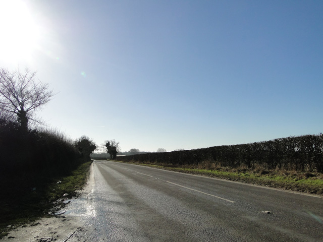
The Mere, located in Norfolk, England, is a stunning freshwater lake encompassing an area of approximately 40 hectares. Nestled amidst the picturesque Wensum Valley, this natural beauty is a popular destination for tourists and locals alike. The Mere boasts crystal-clear waters that glisten under the sun, reflecting the surrounding lush green landscape.

This tranquil oasis is home to an abundance of flora and fauna, making it a haven for nature enthusiasts. The lake serves as a sanctuary for various species of birds, including grebes, swans, and ducks, attracting birdwatchers throughout the year. The reed beds surrounding the Mere provide an ideal habitat for rare plants, such as the Norfolk hawker dragonfly and the marsh cinquefoil.

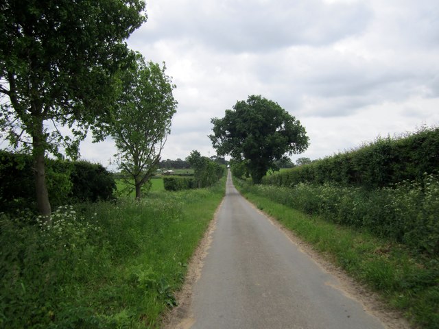
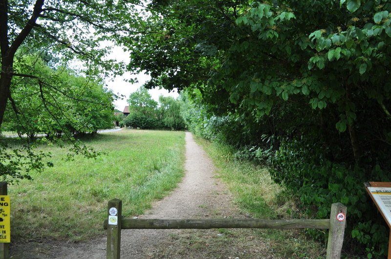
Visitors can explore the Mere's beauty by strolling along the well-maintained footpaths that wind through its shores. The tranquil atmosphere and breathtaking views make it a perfect spot for a leisurely walk or a picnic with family and friends. Anglers are also drawn to the Mere's abundant fish population, including pike, roach, and perch.

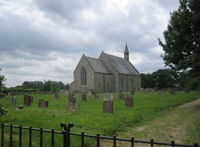
The Mere is not only a scenic attraction but also holds historical significance. It was originally created as a fishpond by the nearby monastic community in the 12th century. Over time, it has evolved into a natural wonder, captivating visitors with its serene surroundings.

With its idyllic charm and diverse wildlife, the Mere offers a peaceful retreat for those seeking solace amidst nature's embrace. Whether it's birdwatching, fishing, or simply immersing oneself in the tranquility of the landscape, the Mere in Norfolk is a must-visit destination for nature lovers.

If you have any feedback on the listing, please let us know in the comments section below.

The Mere Images

Images are sourced within 2km of 52.529759/0.87531536 or Grid Reference TL9596. Thanks to Geograph Open Source API. All images are credited.

The village sign at Caston
Holy Cross: the parish church of Caston The oldest part of this thatched church is the chancel that dates from 1300.
Holy Cross: the parish church of Caston
The oldest part of this thatched church is the chancel that dates from 1300.
Road, Caston
Road, Caston
Carbrooke Road
Carbrooke Road
The Church of the Holy Cross
Village Sign Village sign for Stow Bedon.
Village Sign
Village sign for Stow Bedon.
St Botolph, Stow Bedon <span class="nowrap"><a title="http://www.norfolkchurches.co.uk/stowbedon/stowbedon.htm" rel="nofollow ugc noopener" href="http://www.norfolkchurches.co.uk/stowbedon/stowbedon.htm">Link</a><img style="margin-left:2px;" alt="External link" title="External link - shift click to open in new window" src="https://s1.geograph.org.uk/img/external.png" width="10" height="10"/></span>
St Botolph, Stow Bedon
A Norfolk Lane A typical Norfolk lane approaching Gravelpit Hill, a great area with minimal traffic,for a pleasant cycle ride.
A Norfolk Lane
A typical Norfolk lane approaching Gravelpit Hill, a great area with minimal traffic,for a pleasant cycle ride.
Gravelpit Hill
Gravelpit Hill
Holy Cross church, Caston The steep roof indicates that the church was thatched and unlike most has retained its pitch. Over the north porch, now serving as a vestry is a small chamber. Enter the church beneath the fine west window by the door set into the 14th c. tower and you are greeted by a wagon headed roof which still shows traces of its mediaeval colour. The plain 15th c. octagonal font is uninteresting compared with the large bench-end carvings of birds and animals, and two good misericordes with faces below the seat and return stalls, all of the same period. A new base supports the Stuart pulpit and the Royal Arms are also Stuart. In the south wall is a small piscina set into a sedilia. In the chancel is a plain piscina and sedilia and a Stuart holy table. Much glass has been broken, but some remains alongside modern glass.
Holy Cross church, Caston
The steep roof indicates that the church was thatched and unlike most has retained its pitch. Over the north porch, now serving as a vestry is a small chamber. Enter the church beneath the fine west window by the door set into the 14th c. tower and you are greeted by a wagon headed roof which still shows traces of its mediaeval colour. The plain 15th c. octagonal font is uninteresting compared with the large bench-end carvings of birds and animals, and two good misericordes with faces below the seat and return stalls, all of the same period. A new base supports the Stuart pulpit and the Royal Arms are also Stuart. In the south wall is a small piscina set into a sedilia. In the chancel is a plain piscina and sedilia and a Stuart holy table. Much glass has been broken, but some remains alongside modern glass.
The Church of St Margaret at Stow Bedon Viewed from the west.
The Church of St Margaret at Stow Bedon
Viewed from the west.
Ordnance Survey Flush Bracket G1551 This can be found on the wall of St Margaret's Church at Stow Bedon.
For more detail see : <span class="nowrap"><a title="http://www.bench-marks.org.uk/bm10683" rel="nofollow ugc noopener" href="http://www.bench-marks.org.uk/bm10683">Link</a><img style="margin-left:2px;" alt="External link" title="External link - shift click to open in new window" src="https://s1.geograph.org.uk/img/external.png" width="10" height="10"/></span>
Ordnance Survey Flush Bracket G1551
This can be found on the wall of St Margaret's Church at Stow Bedon. For more detail see : LinkExternal link
Low sun through the trees at a road junction
Road to Thompson near Top Farm
The Close, off the A1075 at Stow Bedon
Lodge Farm, Stow Bedon
Heading south near Lodge Farm
A1075 near Lodge Farm
Show me another place!

The Mere is located at Grid Ref: TL9596 (Lat: 52.529759, Lng: 0.87531536)

Administrative County: Norfolk

District: Breckland

Police Authority: Norfolk

What 3 Words

///explained.publish.spotted. Near Griston, Norfolk

Nearby Locations

Stow Bedon The Mere

Related Wikis

Stow Bedon

Stow Bedon is a village and former civil parish, now in the parish of Stow Bedon and Breckles, in the Breckland district of the English county of Norfolk...

Wayland, Norfolk

Wayland is an area in the district of Breckland within the English county of Norfolk. It is situated approximately 20 miles west of Norwich.The area is...

Stow Bedon railway station

Stow Bedon railway station is a closed station in Stow Bedon, Norfolk. It was initially opened in 1869 by the Great Eastern Railway network and became...

Wayland Rural District

Wayland Rural District was a rural district in Norfolk, England from 1894 to 1974.It was formed under the Local Government Act 1894 based on the Wayland...

Caston

Caston is a village and civil parish in the English of Norfolk. == History == Caston's name is of Anglo-Saxon origin and derives from the Old English for...

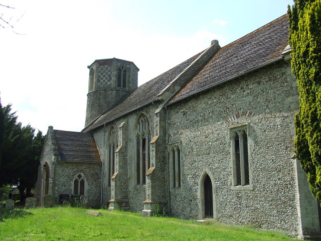
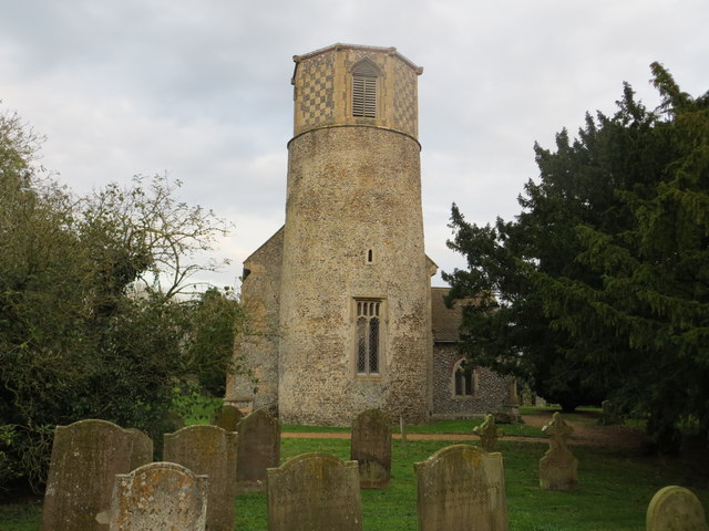
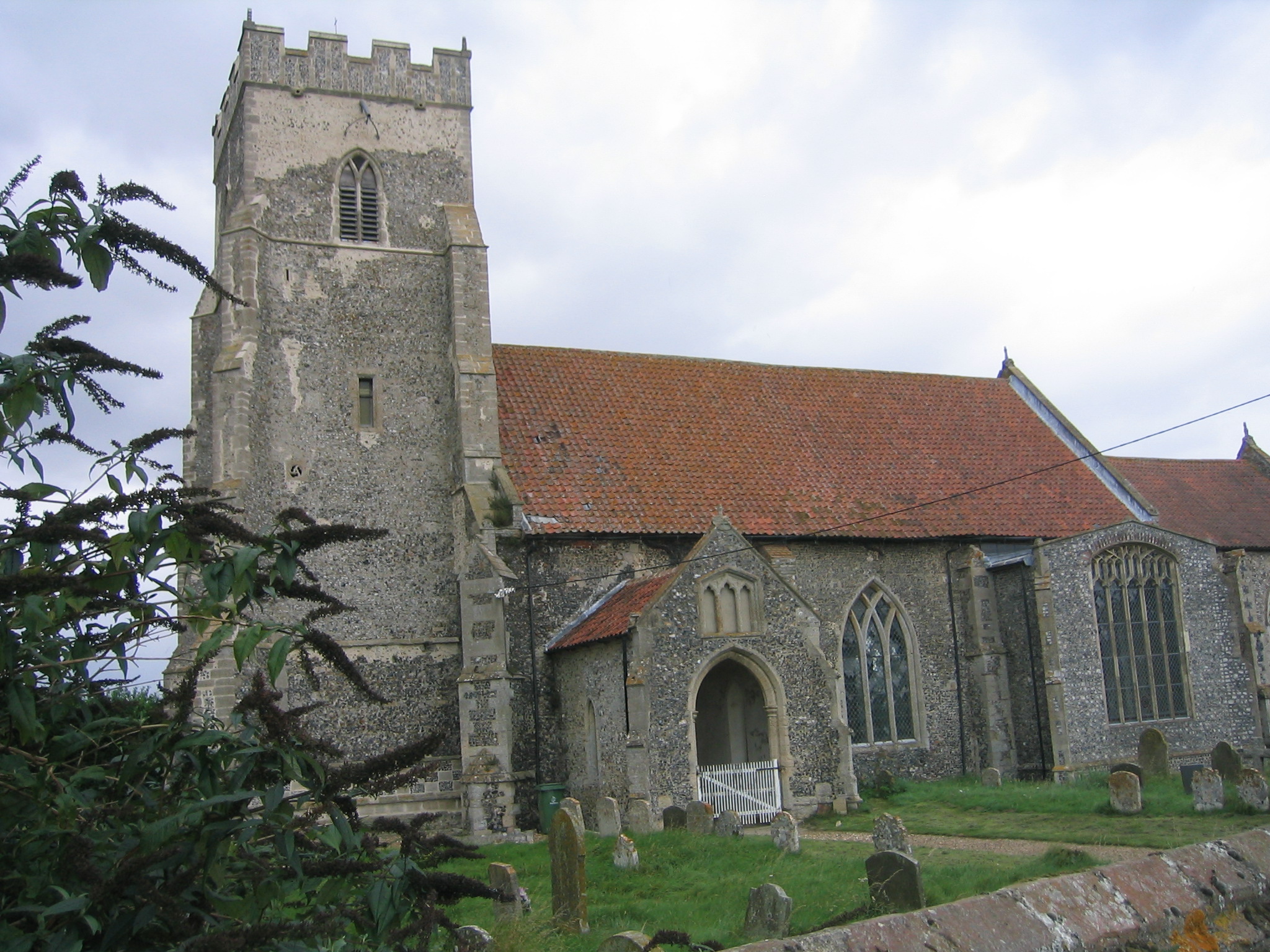
Church of St Margaret, Breckles

The church of Breckles St Margaret is an Anglican church near Stow Bedon, Norfolk, England. It is one of 124 existent round-tower churches in Norfolk....

Thompson, Norfolk

Thompson is a civil parish in the English county of Norfolk. It covers an area of 9.20 km2 (3.55 sq mi) and including Tottington had a population of 341...

HM Prison Wayland

HM Prison Wayland is a Category C men's prison, located near the village of Griston in Norfolk, England. The prison is operated by His Majesty's Prison...

Nearby Amenities

Located within 500m of 52.529759,0.87531536
Stow Bedon
Place: hamlet
Source: npe
Lat/Long: 52.5283893/0.8814822
Bus Stop
Mere Road, adj
Naptan AtcoCode: 2900S524
Naptan Bearing: SW
Naptan BusStopType: CUS
Naptan CommonName: Mere Road
Naptan Indicator: adj
Naptan Locality: Stow Bedon
Naptan NaptanCode: nfodwatp
Naptan ShortCommonName: Attleborough Road
Naptan Street: Attleborough Road
Shelter: yes
Source: naptan_import;survey
Lat/Long: 52.5312234/0.8690867
Bus Stop
Mere Road, opp
Naptan AtcoCode: 2900S527
Naptan Bearing: NE
Naptan BusStopType: CUS
Naptan CommonName: Mere Road
Naptan Indicator: opp
Naptan Locality: Stow Bedon
Naptan NaptanCode: nfodwawd
Naptan ShortCommonName: Attleborough Road
Naptan Street: Attleborough Road
Shelter: no
Source: naptan_import;survey
Lat/Long: 52.5308944/0.8687295
Post Box
Collection Times: Mo-Fr 09:00; Sa 07:00
Post Box Type: lamp
Ref: NR17 1710
Royal Cypher: EIIR
Royal Cypher Wikidata: Q33102113
Lat/Long: 52.5297129/0.8793702
Give Way
Lat/Long: 52.5276112/0.8812199
Stow Bedon
Man Made: village_sign
Material: metal
Lat/Long: 52.5278844/0.8812263
Defibrillator
Access: yes
Booth: K6
Covered: booth
Defibrillator Location: inisde old red phone box in Stow Bedon
Disused Amenity: telephone
Emergency: defibrillator
Man Made: telephone_box
Note: no phone inside
Lat/Long: 52.5297066/0.879394
Information: board
Tourism: information
Lat/Long: 52.5278855/0.8811856
Bench
Backrest: yes
Colour: brown
Material: wood
Seats: 2
Lat/Long: 52.5278729/0.8811862
Barrier: kissing_gate
Bicycle: no
Foot: yes
Lat/Long: 52.5282046/0.8776481
Power: pole
Lat/Long: 52.5313726/0.8754744
Power: pole
Lat/Long: 52.5314126/0.8740836
Power: pole
Lat/Long: 52.5311809/0.8728391
Power: pole
Lat/Long: 52.5310716/0.8785656
Power: pole
Lat/Long: 52.5313506/0.8769643
Power: pole
Lat/Long: 52.5307126/0.8801937
Power: pole
Lat/Long: 52.5295786/0.8809635
Power: pole
Lat/Long: 52.5284739/0.8817092
Give Way
Lat/Long: 52.5278243/0.8811386
Note: Hedge blocks definitive way.
Lat/Long: 52.5263725/0.8780935
Barrier: lift_gate
Bicycle: no
Foot: yes
Note: Broken
Lat/Long: 52.5274361/0.8778461
Barrier: lift_gate
Bicycle: no
Foot: yes
Lat/Long: 52.5278346/0.8777603
Generator Source: solar
Power: generator
Lat/Long: 52.5286893/0.8755481
Advertising: board
Lat/Long: 52.5297201/0.879347
The data included in this document is from www.openstreetmap.org. The data is made available under ODbL.

Have you been to The Mere?

Leave your review of The Mere below (or comments, questions and feedback).