Sharmans Lake
Lake, Pool, Pond, Freshwater Marsh in Norfolk North Norfolk
England
Sharmans Lake
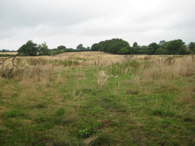
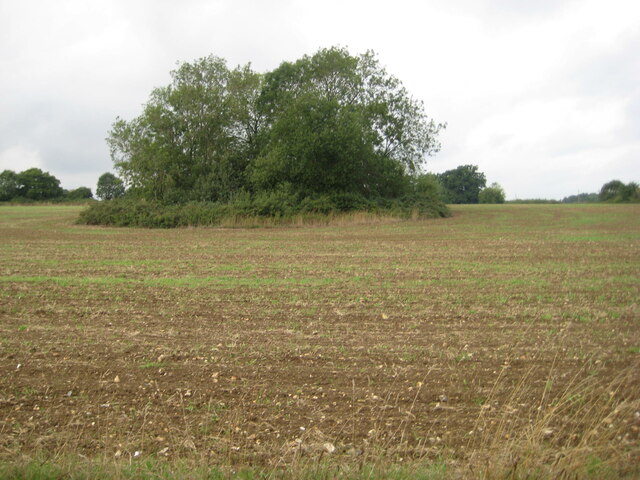
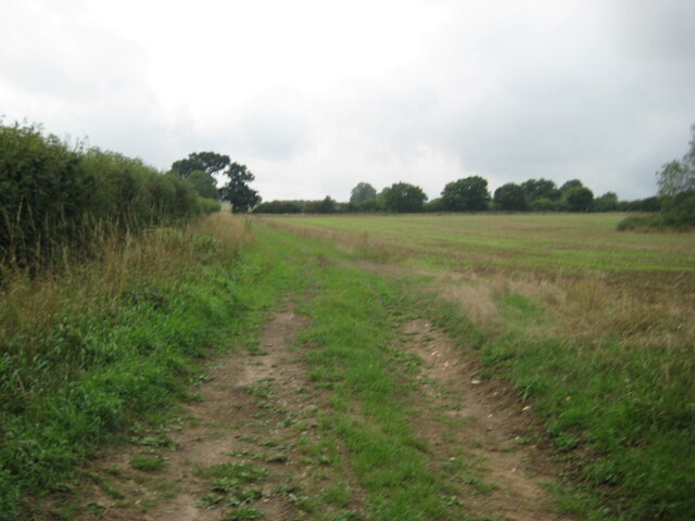
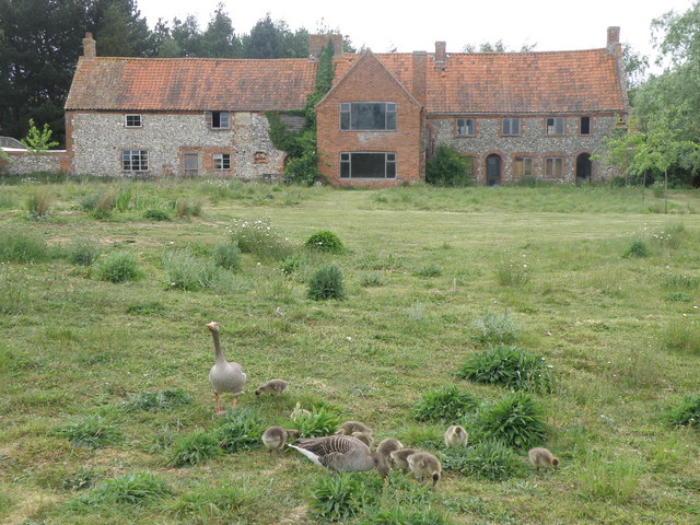
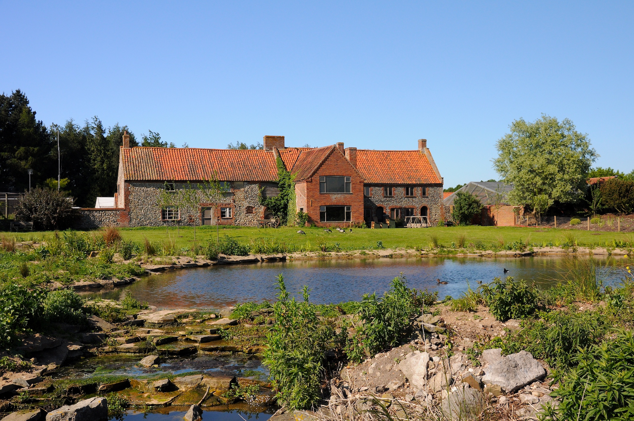
Sharmans Lake, located in Norfolk, is a picturesque freshwater marsh that encompasses a lake, pool, pond, and surrounding wetlands. This natural ecosystem is a haven for a diverse range of flora and fauna, making it a popular destination for nature enthusiasts and wildlife photographers.
The lake itself is a relatively small body of water, spanning approximately 10 acres. It is surrounded by lush vegetation, including reeds, cattails, and water lilies, which provide a habitat for various species of birds, insects, and amphibians. Visitors can often spot ducks, geese, and swans gracefully gliding across the calm waters, while dragonflies dart through the air.
The pool and pond areas of Sharmans Lake offer a different ambiance. These shallow water bodies are home to a variety of aquatic plants, such as water milfoil and bladderwort, which create a vibrant and colorful underwater landscape. Frogs, newts, and other amphibians thrive in these habitats, providing a delightful sight for those exploring the area.
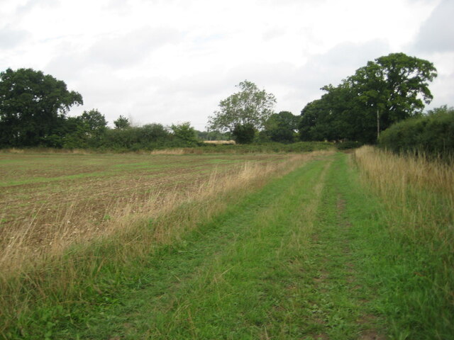
One of the most remarkable features of Sharmans Lake is its freshwater marsh, which surrounds the water bodies. This marshland is a crucial ecosystem, acting as a natural filter for water, improving its quality by trapping pollutants and sediments. It also serves as a breeding ground for numerous species of fish, as well as a nesting site for waterfowl and wading birds.
Sharmans Lake offers a tranquil and serene environment for visitors to enjoy the beauty of nature. Whether it is birdwatching, photography, or simply taking a leisurely stroll along its banks, this freshwater marsh provides a delightful experience for anyone seeking solace in its peaceful surroundings.
If you have any feedback on the listing, please let us know in the comments section below.
Sharmans Lake Images
Images are sourced within 2km of 52.820703/0.89253562 or Grid Reference TF9528. Thanks to Geograph Open Source API. All images are credited.
Sharmans Lake is located at Grid Ref: TF9528 (Lat: 52.820703, Lng: 0.89253562)
Administrative County: Norfolk
District: North Norfolk
Police Authority: Norfolk
What 3 Words
///dampen.bank.spouse. Near Fakenham, Norfolk
Nearby Locations
Related Wikis
Pensthorpe Natural Park
Pensthorpe Natural Park is located in Pensthorpe, Norfolk, England and is approximately one mile from Fakenham and close to the A1067 road. The park covers...

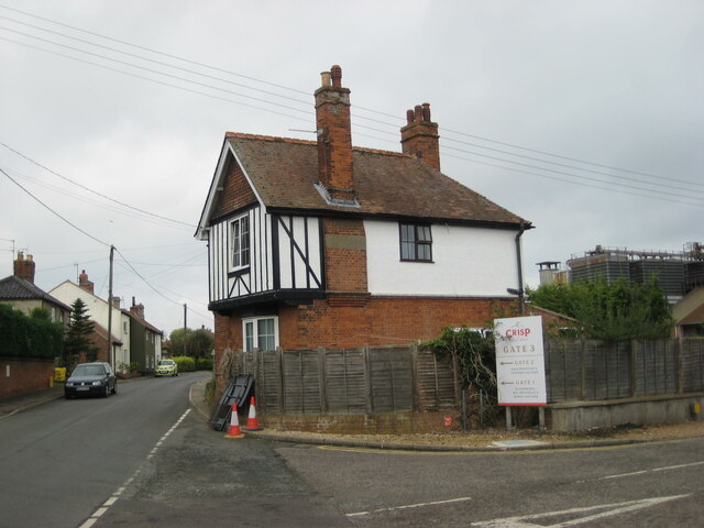
Great Ryburgh
Great Ryburgh is a village and former civil parish, now in the parish of Ryburgh, in the North Norfolk district, in the county of Norfolk, England. In...

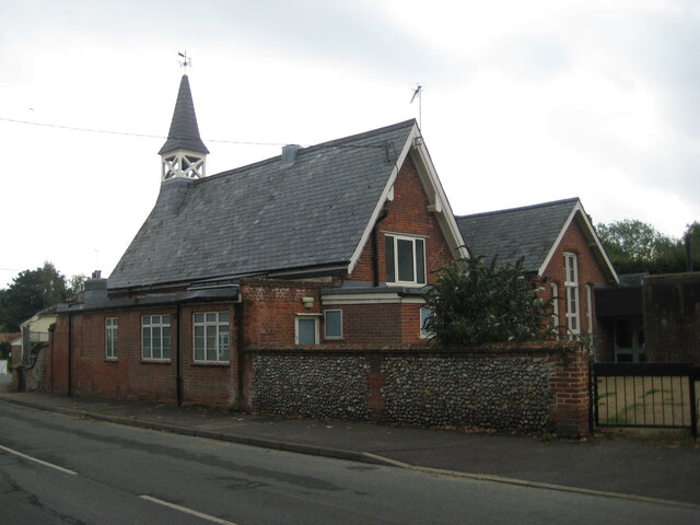
Ryburgh railway station
Ryburgh railway station was a railway station in the village of Great Ryburgh in the English county of Norfolk. == History == The station opened in 1849...

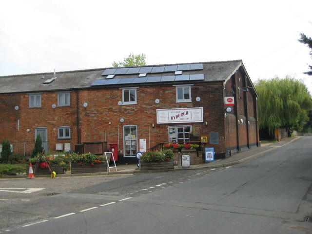
Ryburgh
Ryburgh is a civil parish in the English county of Norfolk. The parish is 21.2 miles (34.1 km) south-west of Cromer, 23.1 miles (37.2 km) north-west of...
Nearby Amenities
Located within 500m of 52.820703,0.89253562Have you been to Sharmans Lake?
Leave your review of Sharmans Lake below (or comments, questions and feedback).