Island Pond

Lake, Pool, Pond, Freshwater Marsh in Suffolk Babergh

England

Island Pond

Church of St Mary the Virgin, Brettenham <span class="nowrap"><a title="https://historicengland.org.uk/listing/the-list/list-entry/1037350?section=official-list-entry" rel="nofollow ugc noopener" href="https://historicengland.org.uk/listing/the-list/list-entry/1037350?section=official-list-entry">Link</a><img style="margin-left:2px;" alt="External link" title="External link - shift click to open in new window" src="https://s1.geograph.org.uk/img/external.png" width="10" height="10"/></span>
Church of St Mary the Virgin, Brettenham Credit: Sandy Gerrard

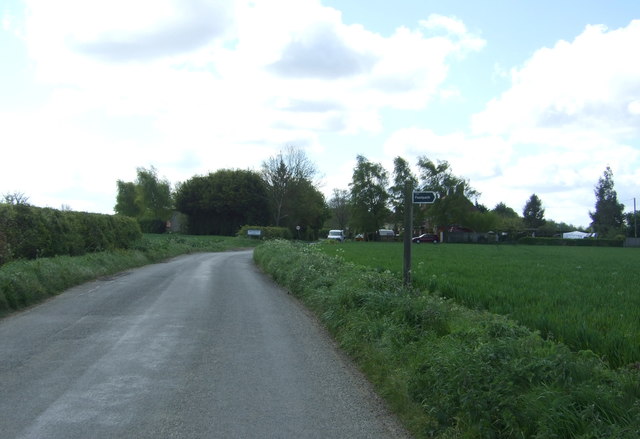
Island Pond, Suffolk, is a picturesque freshwater marsh located in the county of Suffolk, England. Situated near the village of Martlesham, this serene water body covers an area of approximately 20 acres. The pond is nestled amidst lush greenery, making it an idyllic spot for nature enthusiasts and those seeking tranquility.

Surrounded by reed beds and tall grasses, Island Pond is home to a diverse range of flora and fauna. The marshland provides a habitat for various species of waterfowl, including mallards, coots, and moorhens. The tranquil waters also attract dragonflies and damselflies, which hover above the surface, adding to the area's charm.

The pond's crystal-clear waters are fed by natural springs, ensuring a constant flow of freshwater. This makes it an ideal breeding ground for certain fish species, such as perch and roach. Anglers are often seen casting their lines from the banks, hoping for a successful catch.

Island Pond offers a peaceful environment for leisure activities. Visitors can take leisurely walks along the designated paths that encircle the pond, taking in the beautiful scenery and observing the abundant wildlife. The surrounding woodland provides a shady retreat on hot summer days, inviting picnickers and sunbathers alike.

Overall, Island Pond, Suffolk, is a hidden gem, providing a haven of natural beauty and tranquility in the heart of Suffolk's countryside. Whether you are an avid birdwatcher, angler, or simply seeking a peaceful escape from the hustle and bustle of everyday life, this freshwater marsh is sure to captivate and rejuvenate your senses.

If you have any feedback on the listing, please let us know in the comments section below.
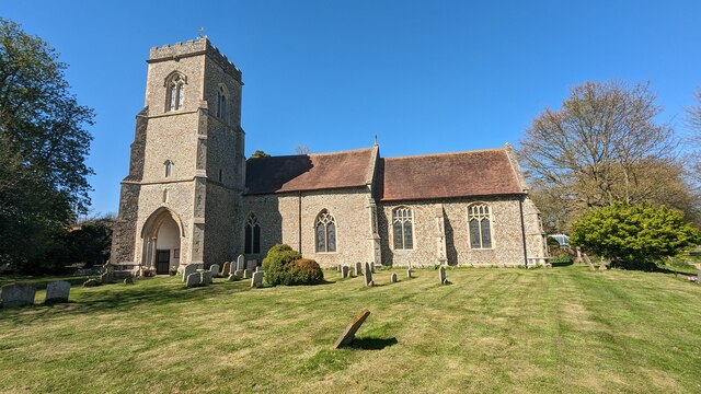
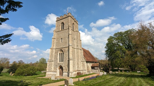
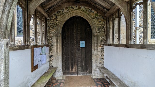
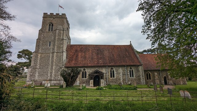
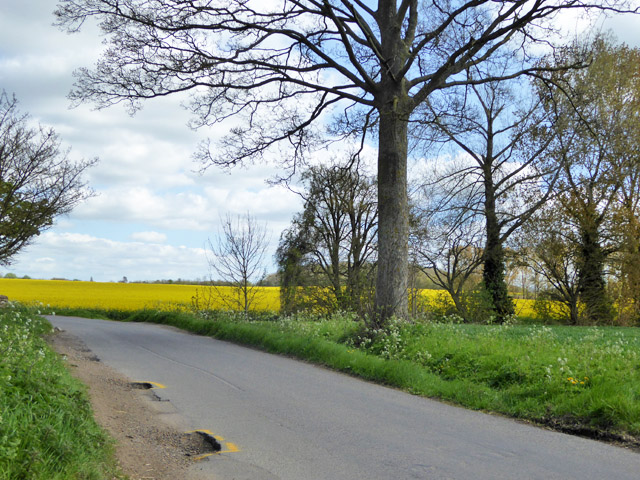
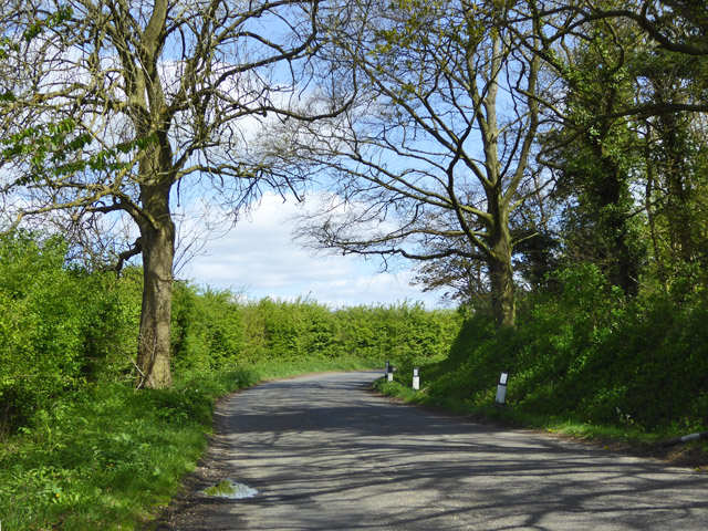
Island Pond Images

Images are sourced within 2km of 52.143019/0.85881746 or Grid Reference TL9553. Thanks to Geograph Open Source API. All images are credited.

Church of St Mary the Virgin, Brettenham <span class="nowrap"><a title="https://historicengland.org.uk/listing/the-list/list-entry/1037350?section=official-list-entry" rel="nofollow ugc noopener" href="https://historicengland.org.uk/listing/the-list/list-entry/1037350?section=official-list-entry">Link</a><img style="margin-left:2px;" alt="External link" title="External link - shift click to open in new window" src="https://s1.geograph.org.uk/img/external.png" width="10" height="10"/></span>
Church of St Mary the Virgin, Brettenham
Church of St Mary the Virgin, Thorpe Morieux <span class="nowrap"><a title="https://historicengland.org.uk/listing/the-list/list-entry/1351578?section=official-list-entry" rel="nofollow ugc noopener" href="https://historicengland.org.uk/listing/the-list/list-entry/1351578?section=official-list-entry">Link</a><img style="margin-left:2px;" alt="External link" title="External link - shift click to open in new window" src="https://s1.geograph.org.uk/img/external.png" width="10" height="10"/></span>
Church of St Mary the Virgin, Thorpe Morieux
Font in Church of St Mary the Virgin, Thorpe Morieux <span class="nowrap"><a title="https://historicengland.org.uk/listing/the-list/list-entry/1351578?section=official-list-entry" rel="nofollow ugc noopener" href="https://historicengland.org.uk/listing/the-list/list-entry/1351578?section=official-list-entry">Link</a><img style="margin-left:2px;" alt="External link" title="External link - shift click to open in new window" src="https://s1.geograph.org.uk/img/external.png" width="10" height="10"/></span>
Font in Church of St Mary the Virgin, Thorpe Morieux
Interior of Church of St Mary the Virgin, Thorpe Morieux <span class="nowrap"><a title="https://historicengland.org.uk/listing/the-list/list-entry/1351578?section=official-list-entry" rel="nofollow ugc noopener" href="https://historicengland.org.uk/listing/the-list/list-entry/1351578?section=official-list-entry">Link</a><img style="margin-left:2px;" alt="External link" title="External link - shift click to open in new window" src="https://s1.geograph.org.uk/img/external.png" width="10" height="10"/></span>
Interior of Church of St Mary the Virgin, Thorpe Morieux
Doorway into Church of St Mary the Virgin, Thorpe Morieux <span class="nowrap"><a title="https://historicengland.org.uk/listing/the-list/list-entry/1351578?section=official-list-entry" rel="nofollow ugc noopener" href="https://historicengland.org.uk/listing/the-list/list-entry/1351578?section=official-list-entry">Link</a><img style="margin-left:2px;" alt="External link" title="External link - shift click to open in new window" src="https://s1.geograph.org.uk/img/external.png" width="10" height="10"/></span>
Doorway into Church of St Mary the Virgin, Thorpe Morieux
Church of St Mary the Virgin, Thorpe Morieux <span class="nowrap"><a title="https://historicengland.org.uk/listing/the-list/list-entry/1351578?section=official-list-entry" rel="nofollow ugc noopener" href="https://historicengland.org.uk/listing/the-list/list-entry/1351578?section=official-list-entry">Link</a><img style="margin-left:2px;" alt="External link" title="External link - shift click to open in new window" src="https://s1.geograph.org.uk/img/external.png" width="10" height="10"/></span>
Church of St Mary the Virgin, Thorpe Morieux
Marked potholes at lane edge On the lane towards Brettenham.
Marked potholes at lane edge
On the lane towards Brettenham.
Bend on lane towards Brettenham
Crop field towards Spains Plantation
Footpath off Church Road north of Brettenham
Entering Brettenham Heading south on Church Road.
Entering Brettenham
Heading south on Church Road.
Pond, Cock Farm, Brettenham
St. Mary's Church, Brettenham
House on The Street, Brettenham
Crop field off The Street, Brettenham
The Street, Brettenham Looking south west.
The Street, Brettenham
Looking south west.
Village Hall, Brettenham
Houses, Mill Corner, Brettenham
Show me another place!

Island Pond is located at Grid Ref: TL9553 (Lat: 52.143019, Lng: 0.85881746)

Administrative County: Suffolk

District: Babergh

Police Authority: Suffolk

What 3 Words

///studs.resonates.hazy. Near Bildeston, Suffolk

Related Wikis

Old Buckenham Hall School

Old Buckenham Hall School (commonly known as OBH) is a day and boarding preparatory school with pre-prep for boys and girls in the village of Brettenham...

Brettenham, Suffolk

Brettenham is a village and civil parish in the Babergh district of Suffolk, England. In 2005 it had a population of 270, increasing to 353 at the 2011...

Centre Academy East Anglia

Centre Academy East Anglia, formerly known as The Old Rectory School is a private special school in Brettenham, Suffolk, England, founded in 1981. The...

Thorpe Morieux

Thorpe Morieux ( MÉ™-ROO) is a small village and civil parish in Suffolk, England. It is 10 miles south-east of Bury St Edmunds and 10 miles north east...

Thorpe Morieux Woods

Thorpe Morieux Woods is a 45.2-hectare (112-acre) biological Site of Special Scientific Interest north of Thorpe Morieux in Suffolk. Part of it is Bull...

RAF Rattlesden

Royal Air Force Rattlesden or more simply RAF Rattlesden is a former Royal Air Force station located 9 miles (14 km) south east of Bury St Edmunds, Suffolk...

Preston St Mary

Preston St Mary is a village and civil parish in Suffolk, England. Located to the north-east of Lavenham, it is part of the Babergh district. The parish...

Kettlebaston

Kettlebaston is a village and a civil parish with just over 30 inhabitants in the Babergh district of Suffolk, England, located around 3 miles (5 km) east...

Nearby Amenities

Located within 500m of 52.143019,0.85881746
Park Gates
Naptan AtcoCode: 390010528
Naptan Bearing: S
Naptan BusStopType: CUS
Naptan CommonName: Park Gates
Naptan Indicator: o/s
Naptan Landmark: Park Gates
Naptan NaptanCode: sufagmtg
Naptan Street: Bury Road
Naptan Verified: no
Source: naptan_import
Lat/Long: 52.1416089/0.8537341
Park Gates
Naptan AtcoCode: 390010529
Naptan Bearing: N
Naptan BusStopType: CUS
Naptan CommonName: Park Gates
Naptan Indicator: opp
Naptan Landmark: Park Gates
Naptan NaptanCode: sufagmtj
Naptan Street: Bury Road
Naptan Verified: no
Source: naptan_import
Lat/Long: 52.1418369/0.8536025
The data included in this document is from www.openstreetmap.org. The data is made available under ODbL.

Have you been to Island Pond?

Leave your review of Island Pond below (or comments, questions and feedback).